Nassau tide times
Nassau tide forecast — heights relative to MSL.
Today's tide times for Nassau
Tide times at Nassau on Wednesday, 29 July 2026: first low tide at 02:10am, first high tide at 07:45am, second low tide at 01:40pm, second high tide at 08:19pm. Sunrise 06:35am, sunset 07:55pm.
Tide chart for Nassau
24-hour cosine-interpolated curve around the present moment. Heights relative to MSL. Predictions: Predictions: Open-Meteo Marine (MeteoFrance SMOC, 0.08° grid).
Sun, moon and conditions on Wed 29 Jul
Snapshot at build time — refreshes daily. Sea state from Open-Meteo Marine.
Highs and lows next 7 days
Every predicted high and low for the next week, with the daily tidal coefficient (0–120; higher = bigger swing, > 95 means stronger currents).
Other spots nearby
The three closest curated TideTurtle locations to Nassau, measured by great-circle distance.
Today's solunar windows
Solunar tradition: major periods are the ≈3h windows around moon transit and opposition; minor are ≈2h around moonrise and moonset. Pair with the local tide stage and wind for the best read.
Cycle dates near Nassau
Next spring tide on Wed 29 Jul (range 0.9m). Last neap on Tue 28 Jul. Next neap on Sun 02 Aug.
Spring tides cluster around new and full moons (biggest swings). Neap tides land on quarter moons (smallest swings). See the spring tide and neap tide glossary entries for the why.
About tides at Nassau
A short guide to the coastline at Nassau — geography, sea state, and what the tide is actually doing under your feet.
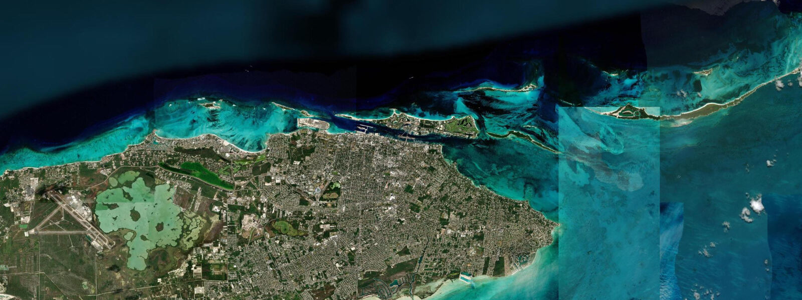
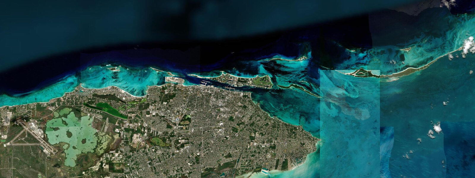
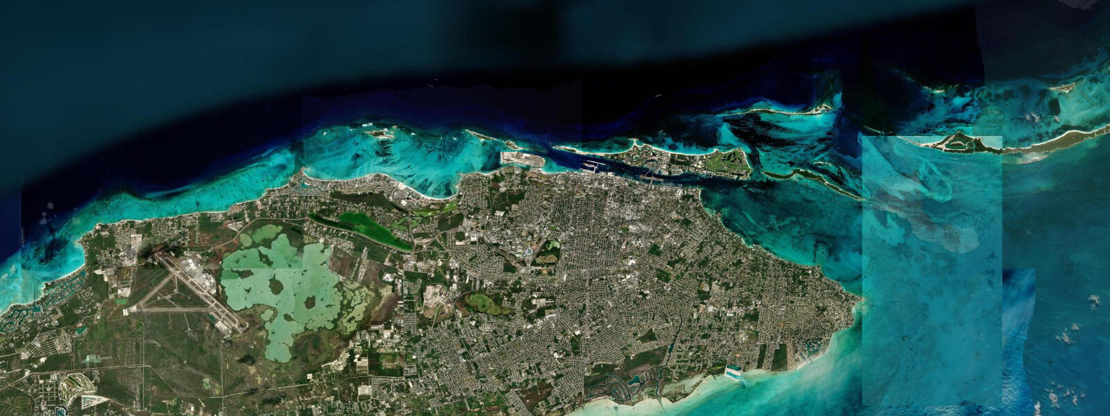
Nassau occupies the northern shore of New Providence, the small central island of the Bahamian archipelago, with the harbour channel dividing it from Paradise Island a few hundred metres to the north. The tide here is semidiurnal — two near-equal highs and two near-equal lows each day, twelve hours and twenty-five minutes apart on the lunar cycle, with relatively little diurnal inequality compared to the mixed-tide Cuban coast a hundred miles to the south. Mean astronomical range at Prince George Wharf, the cruise terminal in the heart of Nassau Harbour, runs roughly 70 to 90 cm.
That is moderate — well above the microtidal Cuban north coast, well below the metre-and-a-half spring ranges of the Florida Atlantic shelf farther north — and it is enough to produce a noticeable current through the harbour entrance and the eastern Paradise Island channel, particularly on the spring ebb when the bank water drains seaward over the reef shelf. Two harbour entrances dominate the local tidal current pattern: the western entrance between Arawak Cay and Paradise Island carries the cruise traffic, and the eastern Paradise Island channel under the bridges carries the smaller-vessel and Atlantis Marina traffic. Spring tides around new and full moons push the range toward a metre and produce the strongest currents at the entrances; neap tides during quarter moons compress the range and the currents to a manageable trickle.
Wind setup from the prevailing easterly trades is generally modest and consistent; named tropical storms during the August-October peak produce surge that overwhelms the astronomical signal. Snorkellers and shallow-reef divers work the inshore patch reefs along Cable Beach to the west and the offshore reef line at Goulding Cay; the visibility windows tend to align with the slack tide, the half-hour either side of the predicted high or low when the bank water is not flowing. Shore anglers along the rocky points at the western tip of the island, at Clifton, and along the Adelaide coast on the southern shore work the bonefish flats on the falling tide and the incoming tide for snapper and barracuda.
Paddleboarders launching from the Cable Beach lagoon find a sheltered regime; the wide flat at Cable Beach exposes about 30 to 40 metres of additional sand on the largest spring lows, more than enough to change the visible character of the beach between morning and afternoon. Family beach-walkers at Cabbage Beach on Paradise Island find a moderate-energy Atlantic shore exposed to the prevailing easterly swell wrapping around Paradise Island; the Atlantis Marina sits in the protected lagoon behind the island, and Atlantis Beach is the sheltered family-friendly side. Photographers favour the early-morning low for the patterned rippled sand at Cable Beach and the late-afternoon high for the cruise-ship silhouettes against the western sky from Prince George Wharf.
The Junkanoo Beach foreshore in the heart of downtown Nassau, immediately east of the cruise terminal, exposes a shell-strewn shelf on the largest spring lows that is otherwise underwater; the beach changes character noticeably between a high-tide afternoon and a spring-low morning. Bonefish guides working the Adelaide flats and the Bonefish Pond on the southern shore plan their tides carefully — these flats are tide-critical fishing where the rising water carries fish onto the flat and the falling water draws them off, with the prime window being the first two hours of the rising tide and the last two hours of the falling. NOAA does not publish a Nassau harmonic station, so US-side gauges in southeastern Florida (Miami, West Palm Beach) and the broader IHO regional reference apply as cross-checks.
The Bahamas Department of Meteorology publishes general marine forecasts and weather advisories for Bahamian waters and is the authoritative regional source for storm and surge warnings. Predictions on this page come from Open-Meteo Marine, a gridded global ocean model. 3 metres on height — at Nassau's 70 to 90 cm range, the uncertainty is a noticeable but smaller fraction of the total signal than at the microtidal Cuban coast.
Treat the predicted highs and lows as approximate, and weight the Bahamas Department of Meteorology forecasts and any surge advisories during the summer-autumn tropical season.
Tide questions about Nassau
Quick answers to the most common questions about tide times, range, and water access at Nassau.
When is the next high tide at Nassau?
The hero block at the top of this page shows the next predicted high at Nassau in local Eastern Standard Time (EST/EDT, UTC-5/UTC-4 with daylight saving). The semidiurnal cycle runs at twelve hours and twenty-five minutes on the lunar pattern, with two near-equal highs and two near-equal lows each day. Mean range at Prince George Wharf is roughly 70 to 90 cm, moderate by Caribbean standards. The Bahamas Department of Meteorology publishes the authoritative regional marine forecasts for Bahamian waters.
What's the typical tide range at Nassau?
Mean astronomical range at Prince George Wharf is roughly 70 to 90 cm — moderate, comfortably larger than the microtidal Cuban north coast and consistent with the broader northwestern Bahamas semidiurnal regime. Spring tides around new and full moons push the range toward a metre; neap tides compress it. The visible effect on Cable Beach between the spring high and the spring low is a 30 to 40 metre change in sandy beach width, which is enough to make the beach feel like a different place at different times of day.
Where do these tide predictions come from?
Open-Meteo Marine, a free gridded global ocean model. The model estimates tidal height across a geographic grid rather than from harmonic analysis of a Nassau gauge — NOAA does not publish a Nassau station. Accuracy is typically within plus or minus 45 minutes on timing and 0.2 to 0.3 metres on height. The Bahamas Department of Meteorology publishes regional marine and storm-surge forecasts; the broader Florida Straits NOAA gauges (Miami, West Palm Beach) provide a useful regional cross-reference.
Is it safe to swim and snorkel at Nassau?
Cable Beach, Junkanoo Beach and the inshore patch reefs are well-suited to swimming and casual snorkelling in calm trade-wind weather. The Paradise Island and Atlantis-side lagoons are sheltered family-friendly water; Cabbage Beach on the Atlantic side of Paradise Island is more exposed to easterly swell. The harbour entrances at the western and eastern channels carry vessel traffic and a noticeable spring-tide current; swimmers and paddlers should stay clear. Standard Caribbean beach safety applies: respect lifeguard flags, avoid the water during named tropical storms, and check the trade-wind and swell forecast before offshore-reef snorkelling at Goulding Cay or the Lost Blue Hole.
Is this safe to use for navigation?
No. Nassau Harbour, the Paradise Island channel and the New Providence approaches carry commercial cruise and cargo traffic and require licensed pilotage where applicable. Use the Bahamas Hydrographic Office charts, the Bahamas Department of Meteorology marine forecasts, and the relevant Notices to Mariners. Open-Meteo Marine gridded predictions are not gauge-calibrated harmonic data and do not replace authoritative sources for any vessel operation.
7-day tide table — Nassau
Heights relative to MSL. Predictions: Open-Meteo Marine (MeteoFrance SMOC, 0.08° grid) — heights relative to MSL (not chart datum / LAT). Model-derived.
| Day | Type | Time | Height |
|---|---|---|---|
| Wed 29 Jul | Low | 02:10 | 0.0m |
| High | 07:45 | 0.5m | |
| Low | 13:40 | -0.1m | |
| High | 20:19 | 0.8m | |
| Thu 30 Jul | Low | 14:24 | -0.1m |
| High | 20:57 | 0.8m | |
| Fri 31 Jul | Low | 03:18 | -0.0m |
| High | 09:12 | 0.6m | |
| Low | 15:05 | -0.1m | |
| High | 21:35 | 0.8m | |
| Sat 01 Aug | Low | 03:51 | -0.0m |
| High | 09:50 | 0.7m | |
| Low | 15:51 | -0.0m | |
| High | 22:13 | 0.8m | |
| Sun 02 Aug | Low | 04:25 | -0.0m |
| High | 10:40 | 0.8m | |
| Low | 16:40 | 0.0m | |
| High | 22:55 | 0.8m | |
| Mon 03 Aug | Low | 05:08 | -0.0m |
| High | 11:24 | 0.8m | |
| Tue 04 Aug | Low | 05:51 | -0.1m |
| High | 12:13 | 0.8m |