Paradise Island, New Providence tide times
Paradise Island, New Providence tide forecast — heights relative to MSL.
Today's tide times for Paradise Island, New Providence
Tide times at Paradise Island, New Providence on Friday, 19 June 2026: first low tide at 05:54am, first high tide at 11:56am, second low tide at 05:51pm. Sunrise 06:19am, sunset 08:01pm.
Tide chart for Paradise Island, New Providence
24-hour cosine-interpolated curve around the present moment. Heights relative to MSL. Predictions: Predictions: Open-Meteo Marine (MeteoFrance SMOC, 0.08° grid).
Sun, moon and conditions on Fri 19 Jun
Snapshot at build time — refreshes daily. Sea state from Open-Meteo Marine.
Highs and lows next 7 days
Every predicted high and low for the next week, with the daily tidal coefficient (0–120; higher = bigger swing, > 95 means stronger currents).
Other spots nearby
The three closest curated TideTurtle locations to Paradise Island, New Providence, measured by great-circle distance.
Today's solunar windows
Solunar tradition: major periods are the ≈3h windows around moon transit and opposition; minor are ≈2h around moonrise and moonset. Pair with the local tide stage and wind for the best read.
Cycle dates near Paradise Island, New Providence
Next spring tide on Fri 19 Jun (range 0.9m). Next neap on Sat 20 Jun.
Spring tides cluster around new and full moons (biggest swings). Neap tides land on quarter moons (smallest swings). See the spring tide and neap tide glossary entries for the why.
About tides at Paradise Island, New Providence
A short guide to the coastline at Paradise Island, New Providence — geography, sea state, and what the tide is actually doing under your feet.
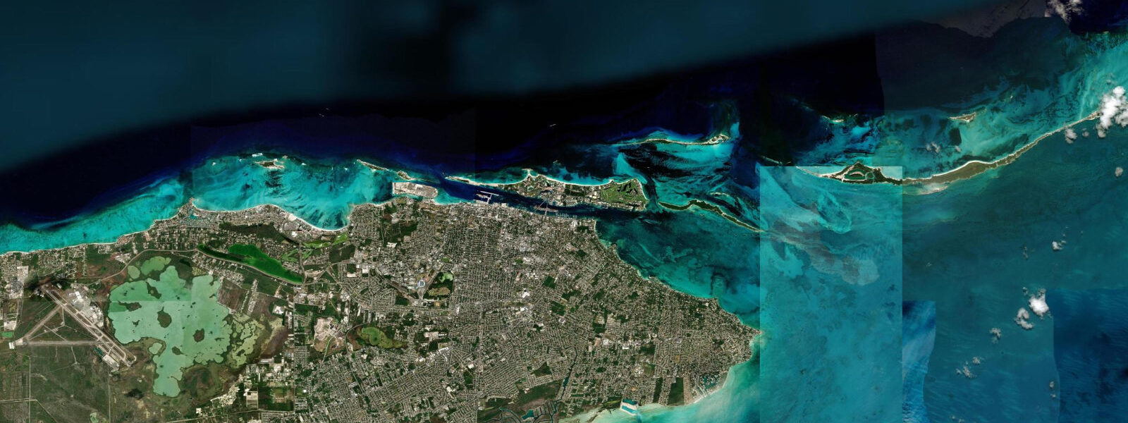
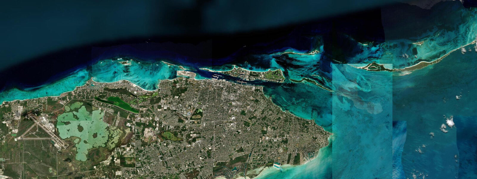
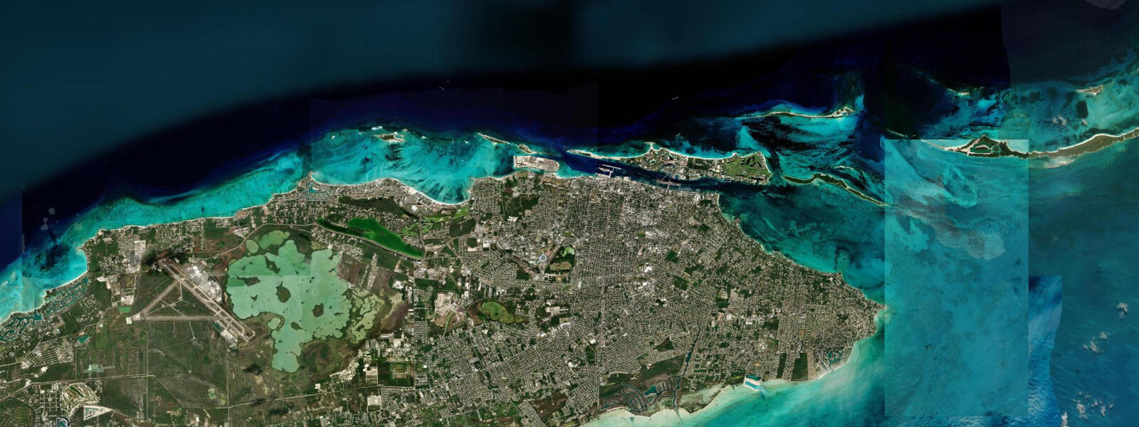
Paradise Island is a 3.4 km² island separated from Nassau by Nassau Harbour — a tidal inlet that connects the Atlantic on the north to the protected waters of the harbour basin on the south. Two road bridges cross the harbour between Nassau and Paradise Island; the current under both runs 1–2 knots on spring tides as the tidal exchange moves water through the narrow passage. The bridges are the signature feature for anyone thinking about water use: this is not decorative current, it is tidal hydraulics concentrating through a bottleneck.
The island's geography is split between two very different water environments. The south shore faces Nassau Harbour — protected, calm, busy with commercial and recreational boat traffic. The north shore faces the open Atlantic. Paradise Island Beach runs 3 km along the north shore and is the primary public beach: wide, sand-bottomed, and exposed to the prevailing northeast swell that defines the Bahamian Atlantic coast.
The tidal range is semidiurnal, mean spring range 0.8–1.2 m. At Paradise Island Beach, this produces measurable width change: at high spring water the beach is 15–20 m wide from waterline to the hotel pool decks and dune vegetation; at low spring water it widens to 40–50 m, one of the more dramatic high-to-low width differences on the island's north shore. The extra 20–30 m of low-tide sand creates a different beach experience — more space, lower water relative to the offshore reef patches, and a harder-packed sand surface for walking the full 3 km length.
Snorkelling from Paradise Island Beach targets reef patches 100–200 m offshore. The flood tide is the better snorkel window: nutrient-rich Atlantic water moves over the reef on the incoming flood, fish activity increases, and the water column is slightly cleaner before the ebb stirs bottom sediment. At mid and low tide the patches are in 1.5–2.5 m of water; at high tide they are 3–4 m deep. Both depths are workable for snorkellers, but the shallower mid-tide approach requires more care to avoid contact with coral.
Nassau Harbour and the bridges are a different matter for paddle-craft. Kayakers and paddlers who attempt to cross the harbour between Paradise Island and Nassau — or to paddle under the bridges — face the concentrated tidal current at the constriction. At spring tide the flow under the bridges reaches 1.5–2.0 knots; a recreational kayaker paddling at 4 km/h has a comfortable margin against a 1-knot current but will barely make headway against 2 knots. Neap tides reduce the current to 0.5–0.8 knots and make the crossing manageable. The practical guidance: check the tidal state before committing to a harbour crossing by kayak, time the passage at slack water (within 30 minutes of high or low), and be aware that the slack window in a constricted channel is short — 15–20 minutes — before the current builds again.
Ferry service runs from downtown Nassau to the eastern end of Paradise Island, a 10-minute crossing that bypasses the current question entirely. The Nassau Straw Market and downtown shopping district are walkable from the Nassau ferry landing. Fort Fincastle, visible from the Paradise Island north beach looking southwest, sits on a ridge above Nassau — the fort's position was chosen for the elevation and the view of the harbour approaches, including the tidal channel now spanned by the bridges.
The Atlantis resort occupies most of Paradise Island. Its Aquaventure waterpark draws seawater from the adjacent Atlantic and circulates it through pools and slides; the intake and return are on the north shore. The Atlantis Marine Habitat — an open-water lagoon system within the resort grounds — holds a large shark exhibit. The lagoon is tidal: as the harbour and ocean level changes, the lagoon water level shifts. The shark exhibit is accessible to resort guests; the marine habitat operates independently of tide schedules for visitor access, though the water clarity in the open lagoon sections is marginally better on the incoming flood.
For beach photographers, the north beach at low spring water has the widest sand and the clearest foreground for shots looking east along the beach into the sunrise. The reef patches to the north show as darker patches against the pale sand bottom — visible in aerial photography and from elevated angles. Evening shots looking west toward Nassau catch the harbour bridge lights once the sun drops.
The Nassau waterfront, Straw Market, and Bay Street shopping are all reachable from Paradise Island by the bridge road (a toll applies) or by the ferry from the island's eastern end. The ferry is the better option at high water when foot traffic on the bridge footpath is dense. At low water, the harbour looks shallower and the boat traffic is lighter — the visual difference between a full and empty harbour is one of the clearer tidal signals visible from the island.
Tide data for Paradise Island, New Providence comes from the Open-Meteo Marine API, a gridded model product. Timing accuracy is ±45 minutes, height accuracy ±0.3 m — usable for trip planning, not for navigation.
Tide questions about Paradise Island, New Providence
Quick answers to the most common questions about tide times, range, and water access at Paradise Island, New Providence.
How fast does the current run under the Paradise Island bridges?
Nassau Harbour constricts at the two bridges connecting Paradise Island to Nassau, concentrating the tidal exchange. On spring tides, the current under the bridges runs 1.5–2.0 knots. On neap tides it drops to 0.5–0.8 knots. Slack water — the brief period around high and low tide when the current pauses before reversing — lasts 15–20 minutes at the bridges. Kayakers and paddlers planning to cross the harbour or pass under the bridges should time the crossing within 30 minutes of slack, use the neap portion of the tidal cycle when possible, and have a clear exit plan if the current is stronger than expected.
What is the beach width at low tide versus high tide on Paradise Island Beach?
Paradise Island Beach on the island's Atlantic north shore is 15–20 m wide at high spring water and 40–50 m wide at low spring water — a 20–30 m difference that substantially changes the beach character. Low tide exposes hard-packed sand that makes the full 3 km length walkable without wading. High tide narrows the beach but gives better swimming depth over the offshore reef patches 100–200 m out. Neap tides produce a smaller range: the beach varies 10–15 m rather than 20–30 m, with the midpoint sitting between the spring extremes.
Is the flood tide better for snorkelling from Paradise Island Beach?
The incoming flood is the preferred snorkel window at Paradise Island Beach. As Atlantic water moves onto the reef patches 100–200 m offshore, fish activity increases and the water column is cleaner before tidal exchange stirs bottom sediment on the ebb. The patches are in 3–4 m at high tide and 1.5–2.5 m at low tide; both are workable, but the flood gives the combination of active fish and reasonable depth clearance above the coral. Avoid snorkelling on a strong ebb after sustained northeast wind — the combination of outgoing current and wind chop reduces visibility and makes surface swimming tiring.
Can I reach Nassau from Paradise Island without crossing the bridges?
Yes. Ferry service runs from the eastern end of Paradise Island to the Nassau waterfront — a 10-minute crossing that bypasses the bridge entirely and avoids the bridge toll. The ferry is practical for reaching Nassau Straw Market, Bay Street, and the downtown waterfront. Ferries operate throughout the day at frequent intervals; the crossing is calm inside Nassau Harbour regardless of Atlantic swell conditions on the north beach. The ferry landing on the Nassau side is near the British Colonial hotel and a short walk from the historic downtown core. At peak tourist season, the ferry can have a short wait during mid-morning and late afternoon.
Does the tidal level affect the Atlantis Marine Habitat lagoon?
The Atlantis Marine Habitat is a partially open lagoon system on Paradise Island that holds sharks and other marine species. As an ocean-connected water body, the lagoon water level shifts with the Nassau Harbour tide — rising 0.8–1.2 m on spring tides and falling correspondingly. The change is visible in the open lagoon sections over a 6-hour period. The Aquaventure waterpark draws and circulates Atlantic seawater separately through its pool and slide system. Neither the lagoon visits nor the waterpark schedules are adjusted for tidal phase; visitor access hours are fixed. Water clarity in the open lagoon is marginally better on the incoming flood, before the ebb redistributes bottom sediment.
6-day tide table — Paradise Island, New Providence
Heights relative to MSL. Predictions: Open-Meteo Marine (MeteoFrance SMOC, 0.08° grid) — heights relative to MSL (not chart datum / LAT). Model-derived.
| Day | Type | Time | Height |
|---|---|---|---|
| Fri 19 Jun | Low | 05:54 | -0.2m |
| High | 11:56 | 0.6m | |
| Low | 17:51 | -0.2m | |
| Sat 20 Jun | High | 00:20 | 0.8m |
| Low | 06:37 | -0.1m | |
| High | 12:56 | 0.6m | |
| Low | 18:50 | -0.1m | |
| Sun 21 Jun | High | 01:15 | 0.7m |
| Low | 19:52 | -0.0m | |
| Mon 22 Jun | High | 02:00 | 0.6m |
| Low | 08:23 | -0.1m | |
| High | 14:52 | 0.6m | |
| Low | 21:00 | -0.0m | |
| Tue 23 Jun | High | 02:47 | 0.6m |
| Low | 09:07 | -0.2m | |
| High | 15:50 | 0.6m | |
| Low | 21:55 | -0.0m | |
| Wed 24 Jun | High | 03:47 | 0.5m |
| Low | 09:50 | -0.1m | |
| High | 16:45 | 0.7m | |
| Low | 23:04 | 0.0m |