Cable Beach, New Providence tide times
Cable Beach, New Providence tide forecast — heights relative to MSL.
Today's tide times for Cable Beach, New Providence
Tide times at Cable Beach, New Providence on Friday, 19 June 2026: first low tide at 05:50am, first high tide at 11:50am, second low tide at 05:43pm. Sunrise 06:20am, sunset 08:01pm.
Tide chart for Cable Beach, New Providence
24-hour cosine-interpolated curve around the present moment. Heights relative to MSL. Predictions: Predictions: Open-Meteo Marine (MeteoFrance SMOC, 0.08° grid).
Sun, moon and conditions on Fri 19 Jun
Snapshot at build time — refreshes daily. Sea state from Open-Meteo Marine.
Highs and lows next 7 days
Every predicted high and low for the next week, with the daily tidal coefficient (0–120; higher = bigger swing, > 95 means stronger currents).
Other spots nearby
The three closest curated TideTurtle locations to Cable Beach, New Providence, measured by great-circle distance.
Today's solunar windows
Solunar tradition: major periods are the ≈3h windows around moon transit and opposition; minor are ≈2h around moonrise and moonset. Pair with the local tide stage and wind for the best read.
Cycle dates near Cable Beach, New Providence
Next spring tide on Fri 19 Jun (range 0.9m). Last neap on Thu 18 Jun.
Spring tides cluster around new and full moons (biggest swings). Neap tides land on quarter moons (smallest swings). See the spring tide and neap tide glossary entries for the why.
About tides at Cable Beach, New Providence
A short guide to the coastline at Cable Beach, New Providence — geography, sea state, and what the tide is actually doing under your feet.
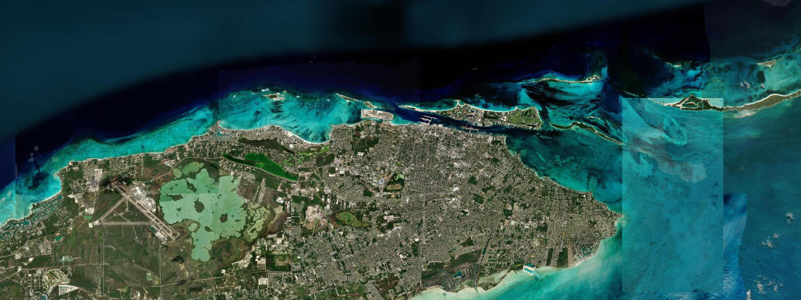
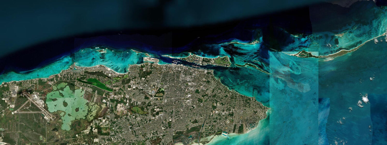
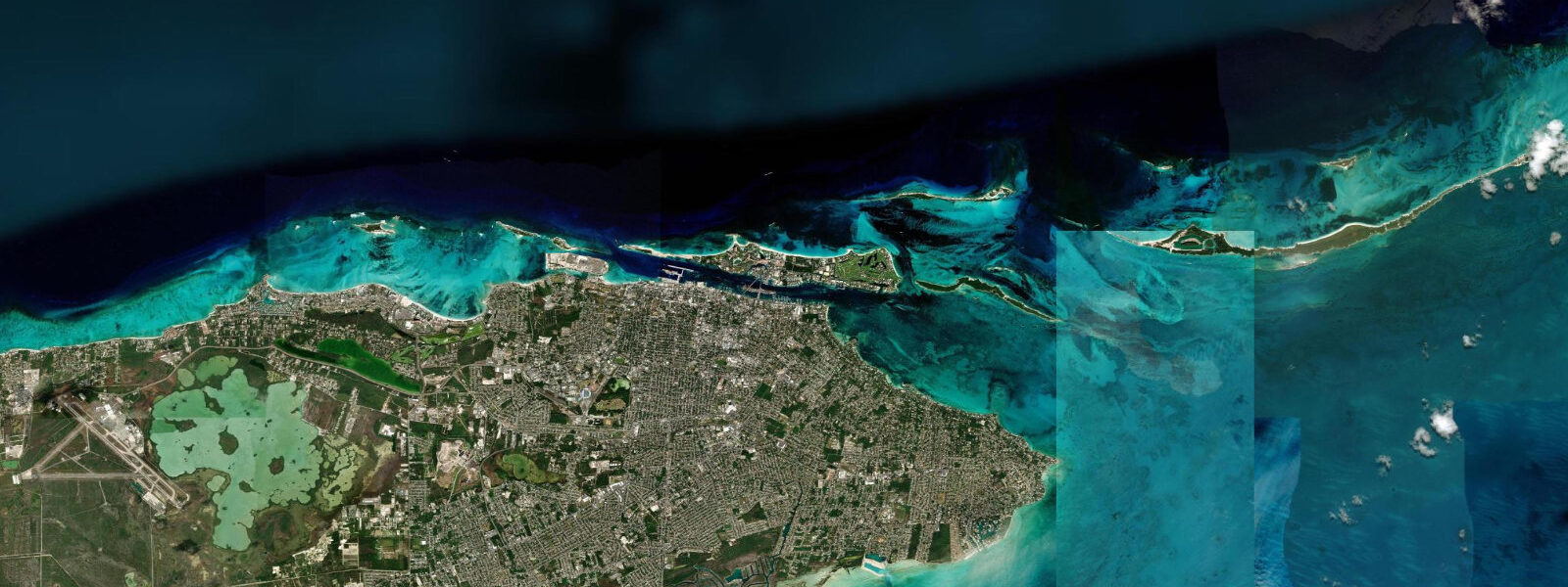
Cable Beach takes its name from the telegraph cable that once ran from here to Florida — a piece of infrastructure history that says something about New Providence's role as a communications crossroads. The cable is long gone; what remains is 3.5 km of north-facing beach on the Atlantic shore of New Providence Island, 3 km west of Nassau's downtown waterfront. The orientation matters: this beach receives Atlantic swell rather than the protected harbour calm of the Nassau waterfront.
The tidal regime is semidiurnal — two highs and two lows per day — with a mean spring range of 0.8–1.2 m. That range translates directly to beach width. At high spring water, the dry beach from the waterline to the dune line is roughly 20–25 m wide. At low spring water it is 40–45 m, and the offshore sand bar sitting 100–150 m from shore at mean water becomes partially exposed: a pale strip of sand breaking the surface, creating a secondary zone that children wade to and adults use as a standing platform to look back at the shoreline. The bar creates a shallow lagoon-like area between it and the main beach at mid and low water — calm, knee to waist deep, warm. This is the most family-friendly swimming configuration on the beach.
The Baha Mar resort complex occupies the mid-section of Cable Beach. Opened in 2015 on the footprint of the old Crystal Palace resort, it has 2,300 hotel rooms across three hotel brands, a casino, and a beach club. The public beach runs continuously along the full 3.5 km; access points exist at both ends and between resort properties. The resort's presence concentrates beach chair infrastructure and food service at the mid-section; the eastern and western ends of the beach are quieter and have fewer facilities.
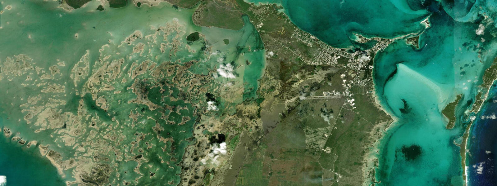
Love Beach and Caves Beach, 4 km west along the north shore, are the alternatives for anyone wanting more space and less infrastructure. The same limestone shoreline continues west, but without the resort layer. Caves Beach takes its name from the blue holes — collapsed cave ceiling pools in the limestone just inland from the beach. Blue holes form when underground cave systems, dissolved out of the limestone over millennia, collapse at the surface. The result is a roughly circular pool, often 20–40 m across and dropping steeply to depth, with tidal exchange connecting it to the ocean through submarine passages. The blue hole water at Caves Beach rises and falls with the tide — not dramatically, but measurably: a 0.4–0.6 m fluctuation in the pool level over the tidal cycle, lagging the ocean tide by 2–3 hours as water moves slowly through the limestone conduits. Swimmers use the blue holes; the depth drops quickly so snorkelling along the edges is more productive than diving straight in without knowing the bottom.
For snorkellers, Cable Beach itself has reef patches 200–400 m offshore. High water is the practical access point — the patches are in 3–5 m of water at high tide, dropping to 1.5–3 m at low. Fish density is higher on the incoming flood as nutrients move across the reef. Visibility depends on wind direction; a persistent northeast swell stirs the bottom on the offshore patches after 24 hours of northeast wind. Calm mornings after a settled night are the clearest.
Anglers work the beach's eastern end near the tidal channel where Sandyport's marina basin meets the open shore. The channel runs east-west; ebb current concentrates baitfish and attracts snapper. Dawn ebb on a spring tide is the consistent producer. Shore-based casting from the western end of Cable Beach targets the sand-bottom areas adjacent to reef patches — permit and bonefish occasionally push this far west from the main Nassau Harbour tidal system.
The Rose Island day-trip run departs from the Cable Beach and Sandyport area: a 45-minute boat ride northeast across the tidal waters of the Providence Channel to a small uninhabited island with a fringing reef. The passage crosses open water; the ride is smoother at high water when the shoal areas around Nassau Harbour's eastern approaches carry more depth. Most operators run departures at 09:00–10:00 and return by 16:00, covering mid-flood to late-ebb — tidal neutral for the reef visit but worth noting if you are prone to rough-water sickness on the return.
Tide data for Cable Beach, New Providence comes from the Open-Meteo Marine API, a gridded model product. Timing accuracy is ±45 minutes, height accuracy ±0.3 m — usable for trip planning, not for navigation.
Tide questions about Cable Beach, New Providence
Quick answers to the most common questions about tide times, range, and water access at Cable Beach, New Providence.
How much does the beach width change between high and low tide at Cable Beach?
At high spring water, the dry beach from the waterline to the dune line is approximately 20–25 m wide. At low spring water it widens to 40–45 m, and the offshore sand bar 100–150 m from shore becomes partially exposed. The bar creates a shallow wading area between itself and the main beach — typically knee to waist deep — that is calm and popular with families. Neap tides produce less pronounced changes: the beach widens by 10–15 m rather than 20 m, and the bar stays submerged. The practical implication for beach visits: low tide gives more sand and the bar feature; high tide gives better swimming depth over the bar and access to the reef patches further offshore.
What are the blue holes at Caves Beach, and do tides affect them?
The blue holes at Caves Beach are collapsed cave ceiling pools in the limestone bedrock just inland from the beach. They formed when underground cave systems dissolved through the limestone over thousands of years and the roof caved in. Each pool connects to the ocean through submarine conduits in the rock. Tidal exchange moves through those conduits: the pool water level rises and falls with the ocean tide, lagging by 2–3 hours and showing about half the amplitude (0.4–0.6 m change versus the ocean's 0.8–1.2 m spring range). Swimmers can use the pools; the edges are shallow and the centre drops steeply, so snorkelling the perimeter is productive while diving straight in without a depth check is inadvisable.
Is the offshore reef at Cable Beach accessible without a boat?
The reef patches at Cable Beach sit 200–400 m offshore — reachable by confident open-water swimmers but a genuine swim in both directions. High tide is the practical access time: the patches are in 3–5 m of water, giving comfortable clearance above the coral. At low tide the patches drop to 1.5–3 m; they are still snorkellable but closer to the surface and more affected by surge. Visibility is best on calm mornings after settled conditions; northeast wind above 15 knots stirs the bottom sand and cuts clarity for 12–24 hours. Most visitors access the reef by joining a half-day snorkel boat trip from the Sandyport area rather than swimming from the beach.
What is the best tide for the Rose Island day trip from Cable Beach?
Rose Island trips depart the Cable Beach and Sandyport area by boat — typically 45 minutes northeast across the Providence Channel. The passage crosses shallow shoals on the eastern approach to Nassau Harbour; these carry more water at high tide, making the ride smoother for vessels with 1.0–1.5 m draft. Most operators depart at 09:00–10:00 (usually mid-flood on a normal schedule) and return by 15:00–16:00, crossing on the ebb. The reef at Rose Island is best snorkelled on the flood as nutrient-rich water moves over it; afternoon ebb can reduce clarity slightly. If you experience motion sickness, a higher-water outbound run is more comfortable.
Are there quieter beaches near Cable Beach with the same tidal access?
Love Beach and Caves Beach are 4 km west along the north shore of New Providence, on the same continuous limestone coastline as Cable Beach. Both are public, significantly less crowded, and lack resort infrastructure — no beach chairs for hire, no watercraft rentals, no food vendors at the beach itself. The tidal pattern is identical: semidiurnal, spring range 0.8–1.2 m, offshore bar exposure at low water. Caves Beach has the blue holes as an additional feature. Both beaches are reachable by taxi from Cable Beach (10 minutes) or by rental car. The parking areas are informal but functional.
6-day tide table — Cable Beach, New Providence
Heights relative to MSL. Predictions: Open-Meteo Marine (MeteoFrance SMOC, 0.08° grid) — heights relative to MSL (not chart datum / LAT). Model-derived.
| Day | Type | Time | Height |
|---|---|---|---|
| Fri 19 Jun | Low | 05:50 | -0.2m |
| High | 11:50 | 0.6m | |
| Low | 17:43 | -0.1m | |
| Sat 20 Jun | High | 00:18 | 0.7m |
| Low | 06:43 | -0.1m | |
| High | 12:52 | 0.6m | |
| Low | 18:50 | -0.0m | |
| Sun 21 Jun | High | 01:06 | 0.7m |
| Low | 07:24 | -0.1m | |
| High | 13:50 | 0.6m | |
| Low | 19:52 | -0.0m | |
| Mon 22 Jun | High | 01:55 | 0.6m |
| Low | 08:16 | -0.1m | |
| High | 14:47 | 0.6m | |
| Low | 21:00 | 0.0m | |
| Tue 23 Jun | High | 02:47 | 0.5m |
| Low | 09:00 | -0.1m | |
| High | 15:45 | 0.6m | |
| Low | 22:00 | 0.0m | |
| Wed 24 Jun | High | 03:40 | 0.5m |
| Low | 09:45 | -0.1m | |
| High | 16:38 | 0.7m | |
| Low | 23:00 | 0.0m |