Marsh Harbour tide times
Marsh Harbour tide forecast — heights relative to MSL.
Today's tide times for Marsh Harbour
Tide times at Marsh Harbour on Sunday, 21 June 2026: first high tide at 01:03am, first low tide at 07:23am, second high tide at 01:45pm, second low tide at 07:52pm. Sunrise 06:15am, sunset 08:04pm.
Tide chart for Marsh Harbour
24-hour cosine-interpolated curve around the present moment. Heights relative to MSL. Predictions: Predictions: Open-Meteo Marine (MeteoFrance SMOC, 0.08° grid).
Sun, moon and conditions on Sun 21 Jun
Snapshot at build time — refreshes daily. Sea state from Open-Meteo Marine.
Highs and lows next 7 days
Every predicted high and low for the next week, with the daily tidal coefficient (0–120; higher = bigger swing, > 95 means stronger currents).
Other spots nearby
The three closest curated TideTurtle locations to Marsh Harbour, measured by great-circle distance.
Today's solunar windows
Solunar tradition: major periods are the ≈3h windows around moon transit and opposition; minor are ≈2h around moonrise and moonset. Pair with the local tide stage and wind for the best read.
Cycle dates near Marsh Harbour
Next spring tide on Fri 26 Jun (range 0.9m). Next neap on Sun 21 Jun.
Spring tides cluster around new and full moons (biggest swings). Neap tides land on quarter moons (smallest swings). See the spring tide and neap tide glossary entries for the why.
About tides at Marsh Harbour
A short guide to the coastline at Marsh Harbour — geography, sea state, and what the tide is actually doing under your feet.
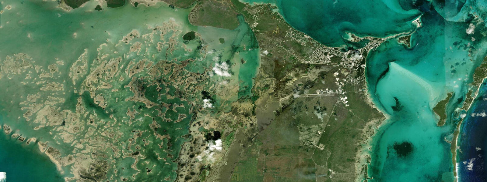
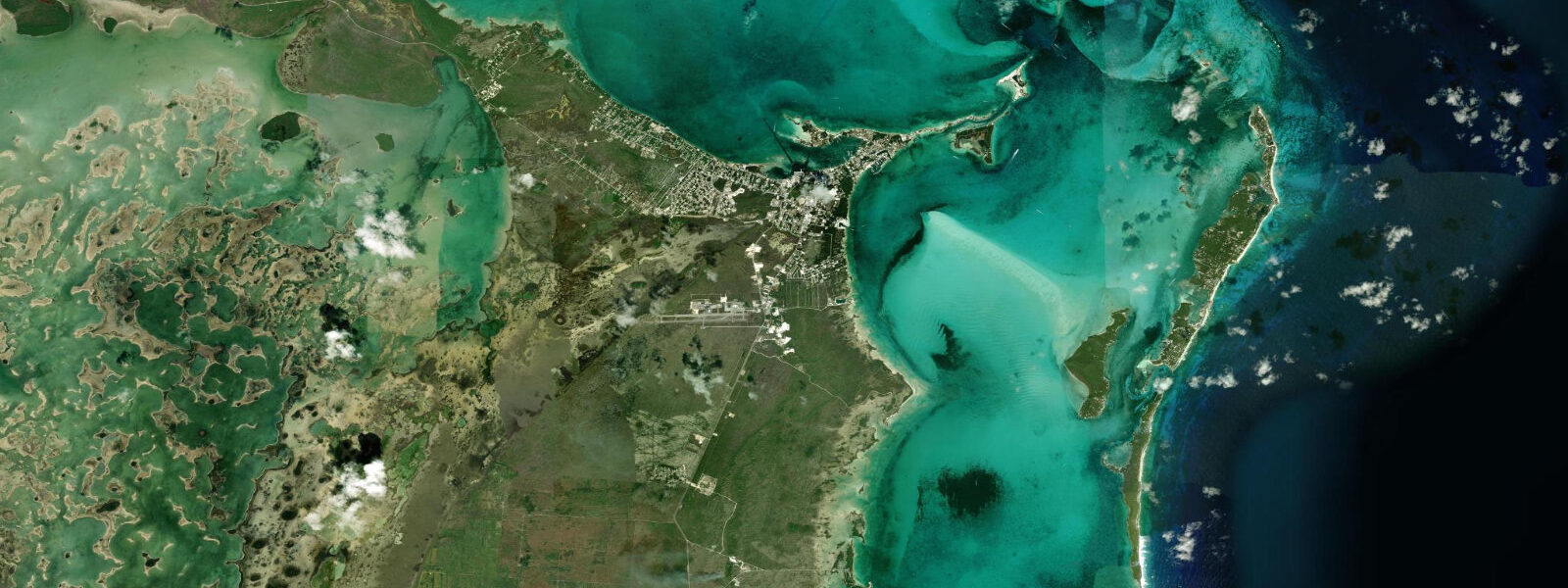
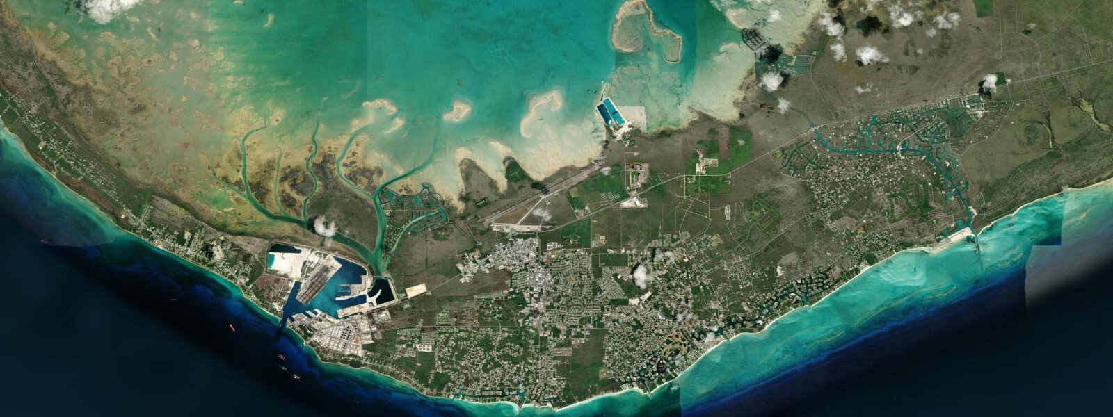
Marsh Harbour is the main port of Great Abaco and the commercial hub of the Abaco Islands — the largest town in the Bahamas outside Nassau and Freeport, though by the standard of most island communities, still a small place. The harbour faces east into the protected Sea of Abaco, the shallow turquoise lagoon enclosed between Great Abaco's mainland and the chain of offshore cays running south from Man-O-War through Elbow Cay and Tilloo. Water taxis to the cays — Hope Town, Man-O-War Cay, Great Guana Cay — depart from the Marsh Harbour ferry dock on a regular schedule, and the town's provisioning infrastructure (groceries, fuel, chandlery, boatyard) serves the entire Abacos cruising fleet.
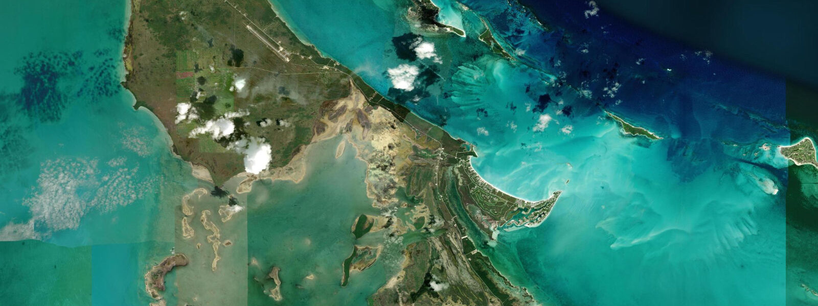
The tidal regime at Marsh Harbour is mixed semidiurnal with a mean range of roughly 0.6 to 0.9 m — a full Caribbean cycle with two unequal highs and two unequal lows each day. This is noticeably larger than the microtidal Caribbean south of the Bahamas and represents the stronger Atlantic tidal signal reaching the northern Bahamas. At the harbour approaches, the tide state matters: several of the bars and shallow cuts in the Sea of Abaco have controlling depths of 1.2 to 1.8 m at mean low water, and the 0.6 to 0.9 m range means the difference between low and mid-tide can be the difference between a comfortable transit and a grounding. Shallow-draft vessels crossing the Sandy Point Bar south of Marsh Harbour or the cuts between the offshore cays plan their moves around the tide table. The Bahamian Department of Meteorology references NOAA for tidal data; predictions on this page come from Open-Meteo Marine, a gridded global ocean model, accurate to approximately ±45 min and ±0.2–0.3 m.
For bonefishing — the primary angling draw of the Abacos — Marsh Harbour is the main launch point. The tidal flats extending south and east from the town toward Snake Cay and the backcountry between the mainland and Great Guana Cay hold some of the largest bonefish in the Bahamas. The fish move onto the flats on the flooding tide, typically arriving on the flat edges 30 to 45 minutes after the predicted low, and feeding actively until the water reaches mid-flat depth. As the tide drops on the ebb, the fish retreat to the tidal channels and creek mouths at the flat edges. Guides operating out of Marsh Harbour plan their entire schedule around the tide table: morning flat sessions on the early flood, afternoon sessions timed to the second flood of the day on mixed semidiurnal tides. Permit and barracuda share the same flats; snapper and grouper hold in the tidal channels and the deeper harbour edges.
For paddlers, the Sea of Abaco offers sheltered flat-water conditions across most of the arc from Marsh Harbour north toward Treasure Cay. The protected lagoon between Great Abaco mainland and the offshore cays runs in depths of 0.5 to 2.5 m across most of its area, making it navigable by kayak and paddleboard on any tide except the lowest spring lows over the shoal sections north of Marsh Harbour. Wind matters more than tide for paddling in the Sea of Abaco: the dominant easterly trade provides a reliable afternoon sea breeze that makes the return leg westward to Marsh Harbour consistently into the wind.
Beach-walkers and families use the small town beach east of the ferry dock and the beaches on the offshore cays accessible by water taxi. The Abaco Beach Resort on the harbour has a private beach on the harbour margin. The offshore cay beaches — particularly at Great Guana Cay and the Atlantic-facing strips on Elbow Cay — are more open, with wider sand and the full Atlantic-side swell exposure providing a different character than the calm Sea of Abaco side.
Photographers working Marsh Harbour find the harbour views at dawn — before boat traffic starts — and the late afternoon water-taxi departures as the strongest subjects. The silhouette of the offshore cays across the Sea of Abaco at sunset is a consistent opportunity; the Sea of Abaco has the shallow-water colour shift from turquoise over the flats to deep blue in the channels that the Bahamas does better than most places on Earth.
Predictions on this page come from Open-Meteo Marine, a gridded global ocean model. Accuracy is typically ±45 min and ±0.2–0.3 m. For navigation in the Sea of Abaco, use current NOS (National Ocean Service) charts and NOAA tide data for the Bahamas.
Tide questions about Marsh Harbour
Quick answers to the most common questions about tide times, range, and water access at Marsh Harbour.
When is the next high tide at Marsh Harbour?
The hero block at the top of this page shows the next predicted high at Marsh Harbour in local Eastern time (EST/EDT, UTC-5/UTC-4 with US daylight saving). The Bahamas observes Eastern Time year-round, so no daylight saving adjustment is needed from the Bahamian side. Mean astronomical range here is roughly 0.6 to 0.9 m — a meaningful tidal swing that matters for bar crossings and bonefish flat timing. The Bahamian Department of Meteorology references NOAA for tidal guidance; NOAA's harmonic data for the Bahamas region is the most accurate available source.
When do the bonefish come onto the flats at Marsh Harbour?
Bonefish move onto the shallow tidal flats of the Abacos backcountry on the flooding tide, typically appearing on the flat edges 30 to 45 minutes after the predicted low water. Feeding activity is most intense during the first two hours of the flood, as the rising water covers the turtle-grass and sand flat bottom and drives crabs, shrimp, and small fish out of cover. As the tide approaches high water and the flat reaches maximum depth, the fish tend to school and push toward the flat edges. On the dropping tide, the retreating water concentrates the fish in the tidal channels and creek mouths bordering the flats — a different but also productive presentation. The most experienced guides time their sessions to hit both the morning and afternoon flood of the mixed semidiurnal cycle.
Which bars and cuts in the Abacos require tide planning?
Several locations in the Sea of Abaco have controlling depths that make them tide-sensitive for vessels with drafts above 1.0 m. The Sandy Point Bar at the southern approach to Marsh Harbour, the cuts between the offshore cays and the mainland, and the shoal sections north of Marsh Harbour toward Treasure Cay are the primary bars that local skippers plan around. The rule of thumb in the Abacos is to cross bars on a rising tide, leaving a margin if you touch bottom. The 0.6 to 0.9 m range gives roughly 0.3 m of additional depth over low water at mid-tide, and the full 0.6 to 0.9 m at high water. Current NOS charts, updated for recent survey data, are the authoritative reference for controlling depths.
Where do these tide predictions come from?
Open-Meteo Marine, a free gridded global ocean model. The model estimates tidal height across a geographic grid rather than computing from harmonic analysis of a local Marsh Harbour gauge record. Accuracy is typically within ±45 minutes on timing and ±0.2 to 0.3 metres on height. For the Abacos, where tidal timing is important for both bonefish flat management and bar crossing, the more accurate NOAA harmonic predictions referenced by the Bahamian Department of Meteorology are the preferred source. The Sea of Abaco's complex geometry — shoals, cuts, and enclosed lagoon — can produce local tidal timing offsets from the open-water prediction.
Is this safe to use for navigation?
No. The Sea of Abaco is a complex shallow-water navigation environment with numerous shoals, bars, and cuts that require current chart data and local knowledge. For vessel operations in and around Marsh Harbour and the Sea of Abaco, use current NOS charts (BA and NOAA editions), NOAA tide data for the Abacos region, and the Cruising Guide to the Abaco Cays (the standard local reference). Open-Meteo Marine gridded predictions do not replace gauge-calibrated harmonic data or surveyed chart information for navigational use.
7-day tide table — Marsh Harbour
Heights relative to MSL. Predictions: Open-Meteo Marine (MeteoFrance SMOC, 0.08° grid) — heights relative to MSL (not chart datum / LAT). Model-derived.
| Day | Type | Time | Height |
|---|---|---|---|
| Sun 21 Jun | High | 01:03 | 0.8m |
| Low | 07:23 | -0.1m | |
| High | 13:45 | 0.7m | |
| Low | 19:52 | 0.0m | |
| Mon 22 Jun | High | 01:52 | 0.7m |
| Low | 08:12 | -0.1m | |
| High | 14:45 | 0.7m | |
| Low | 20:55 | 0.0m | |
| Tue 23 Jun | High | 02:47 | 0.5m |
| Low | 09:00 | -0.1m | |
| High | 15:45 | 0.7m | |
| Low | 21:55 | 0.0m | |
| Wed 24 Jun | High | 03:38 | 0.5m |
| Low | 09:45 | -0.1m | |
| High | 16:36 | 0.7m | |
| Thu 25 Jun | Low | 10:36 | -0.1m |
| High | 17:16 | 0.7m | |
| Low | 23:52 | 0.0m | |
| Fri 26 Jun | High | 05:20 | 0.4m |
| Low | 11:15 | -0.1m | |
| High | 18:06 | 0.7m | |
| Sat 27 Jun | Low | 00:40 | -0.0m |
| High | 06:04 | 0.4m | |
| Low | 12:00 | -0.1m | |
| High | 19:00 | 0.8m |