Punta del Este tide times
Punta del Este tide forecast — heights relative to MSL.
Today's tide times for Punta del Este
Tide times at Punta del Este on Sunday, 21 June 2026: first low tide at 08:12am. Sunrise 07:47am, sunset 05:35pm.
Tide chart for Punta del Este
24-hour cosine-interpolated curve around the present moment. Heights relative to MSL. Predictions: Predictions: Open-Meteo Marine (MeteoFrance SMOC, 0.08° grid).
Sun, moon and conditions on Sun 21 Jun
Snapshot at build time — refreshes daily. Sea state from Open-Meteo Marine.
Highs and lows next 7 days
Every predicted high and low for the next week, with the daily tidal coefficient (0–120; higher = bigger swing, > 95 means stronger currents).
Other spots nearby
The three closest curated TideTurtle locations to Punta del Este, measured by great-circle distance.
Today's solunar windows
Solunar tradition: major periods are the ≈3h windows around moon transit and opposition; minor are ≈2h around moonrise and moonset. Pair with the local tide stage and wind for the best read.
Cycle dates near Punta del Este
Next spring tide on Fri 26 Jun (range 0.5m). Next neap on Sun 21 Jun.
Spring tides cluster around new and full moons (biggest swings). Neap tides land on quarter moons (smallest swings). See the spring tide and neap tide glossary entries for the why.
About tides at Punta del Este
A short guide to the coastline at Punta del Este — geography, sea state, and what the tide is actually doing under your feet.
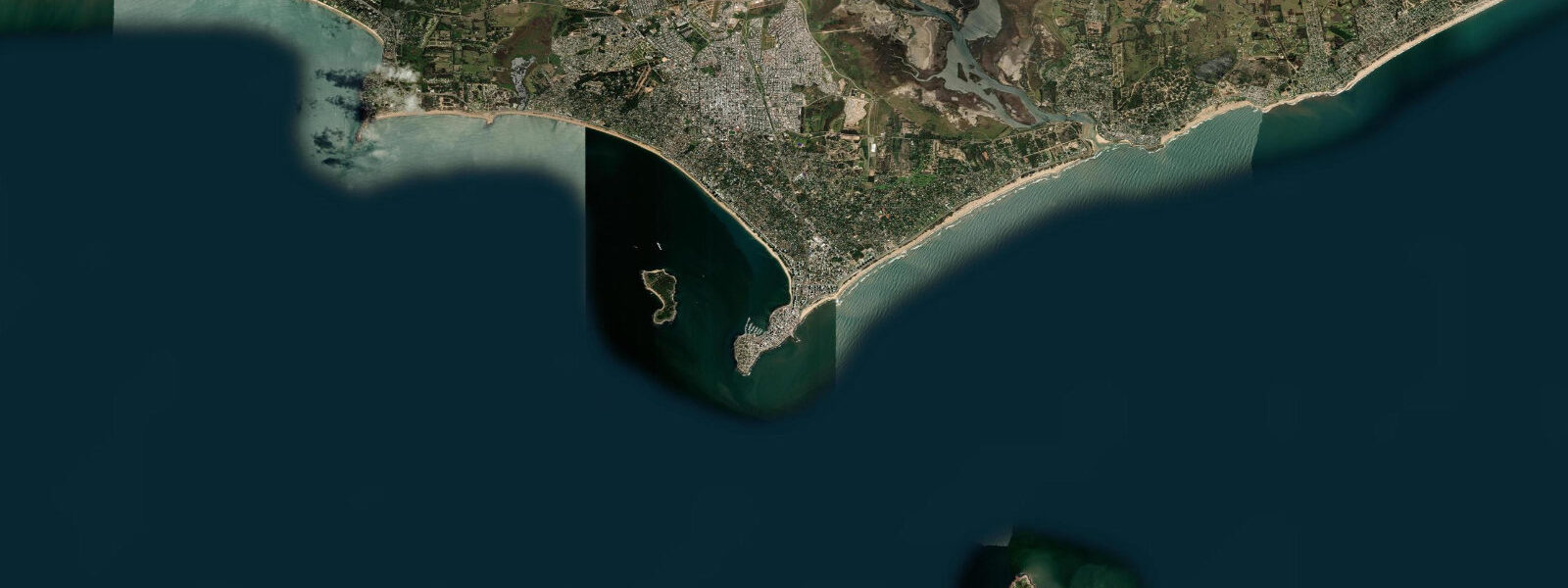
Punta del Este is a narrow finger of land — the peninsula is barely 500 m wide at its narrowest — extending south from the Uruguayan coast to divide the open Atlantic from the inner Río de la Plata estuary. The finger-tip position gives the town two entirely different coastal personalities: Playa Brava on the Atlantic side faces east-northeast, collecting the South Atlantic groundswell; Playa Mansa on the estuary side faces west-northwest into the calmer, more sheltered Plata water. The same tide prediction applies to both sides, but wave height, current, and water clarity differ enough that the two beaches feel like separate places.
The tidal regime at Punta del Este is meso-tidal semidiurnal. Spring range is approximately 1.0–1.4 m above Chart Datum; neap range 0.5–0.7 m. This is genuinely oceanic tide — the peninsula is far enough from the Plata estuary mouth that the astronomical signal is relatively clean, uncontaminated by the surge-dominated regime that affects Montevideo 100 km to the west. The range is still modest, and the beach width changes visibly with the tide: Playa Brava exposes an additional 20–30 m of sand at low water; Playa Mansa, being shallower and more gently sloping, exposes 30–50 m.
Playa Brava is the surf beach. The break is a beach break that responds to South Atlantic groundswell from the SE and E; the best conditions are on the incoming tide when wave shape is cleanest. Rip currents form between the sand banks at mid-tide; the beach has seasonal lifeguard coverage from December through February (the Uruguayan summer). Playa Mansa is the calmer, family beach; the water is warmer (the Plata water retains summer heat better than the open Atlantic) and the surface is usually flat.
The Isla Gorriti, 1 km offshore in the Mansa bay, is accessible by water taxi from the Mansa marina. The crossing takes 10 minutes; the island has two small beaches facing opposing directions, giving sheltered water on one side regardless of wind direction. At spring low tide a sand bank partially emerges between the island and the peninsula tip, reducing the crossing depth to around 1.5 m — still navigable by the water taxis, but notable for kayakers who make the crossing independently.
The port of Punta del Este, at the peninsula tip, handles yacht traffic from around the South Atlantic; the famous biennial ocean race Velux 5 Oceans and the Jules Verne record attempts use Punta del Este as a waypoint. The inner yacht basin is sheltered from both sides; tidal range inside the harbour is the same as the open coast.
Fishing off the Rambla and rocky points at the peninsula tip targets corvina (Micropogonias furnieri), pejerrey (Odontesthes argentinensis), and occasionally the larger lenguado (flounder) on the incoming tide. The best shore-casting windows are from one hour before to two hours after the predicted low, fishing the rising water. SOHMA (Servicio de Oceanografía, Hidrografía y Meteorología de la Armada) publishes official Uruguayan tide tables. Predictions here come from Open-Meteo Marine: accuracy ±45 min / ±0.2–0.3 m.
The famous La Mano sculpture (La Mano Emergiendo de la Arena, by Mario Irarrázabal, 1982) is buried in the Playa Brava sand with five concrete fingers pointing skyward — photographed by every visitor, and noticeably more or less buried depending on the sand accretion cycle. The sculpture sits above the high-water line; at spring high tide with elevated surge, wave wash reaches the base of the sculpture fingers. The relationship between tide, storm surge, and how much of the 'hand' is visible above the sand is a micro-version of the same coastal dynamics that govern the whole beach.
Tide questions about Punta del Este
Quick answers to the most common questions about tide times, range, and water access at Punta del Este.
Is Playa Brava or Playa Mansa better for swimming at Punta del Este?
Depends on the day. Playa Mansa on the Río de la Plata side is calmer with minimal wave energy and warmer water in summer — the default choice for families and casual swimmers. Playa Brava on the Atlantic side receives South Atlantic groundswell and has more frequent shore break and rip currents, particularly at mid-tide. Lifeguards operate on both beaches from December through February. Check the surf condition rather than the tide page for a reliable Brava assessment; tide state affects wave shape but swell size governs whether Brava is swimmable. The Playa Brava afternoon shore break can produce dumping waves at mid-to-high tide; inexperienced swimmers should stay on the Mansa side regardless of surf conditions.
Where do the tide predictions on this page come from?
Open-Meteo Marine, a free gridded global ocean model. Accuracy is typically ±45 minutes on timing and ±0.2–0.3 m on height. The official source for Uruguayan tide tables is SOHMA (Servicio de Oceanografía, Hidrografía y Meteorología de la Armada), which publishes harmonic predictions for Punta del Este and other Uruguayan ports. For navigation, use SOHMA data. This page is not for navigation. SOHMA (hidrografia.gub.uy) publishes tide tables for Punta del Este and other Uruguayan ports as freely downloadable PDF files updated annually.
How does the tide affect Playa Brava surf conditions?
The beach break at Playa Brava is most consistent on the incoming tide, when the rising water pushes the break slightly shallower and wave shape tends to be cleaner. At low water the break can be more powerful and the sand banks more exposed, increasing the risk of shore dump. At high water the wave energy spreads across a wider bank. Tidal range at Punta del Este is 1.0–1.4 m at springs — enough to change the break character noticeably through the tidal cycle but less influential than swell size and direction.
Can I kayak to Isla Gorriti from the Mansa beach?
Yes — the crossing is roughly 1 km from the Mansa marina area and takes 15–25 minutes in a sea kayak in calm conditions. At spring low tide a sand bank partially emerges between the island and the peninsula, shallowing the channel to around 1.5 m; this is navigable by kayak at all states of tide. The water taxi to Gorriti operates from the Mansa side and is the simpler option in anything above flat calm. Afternoon W winds can build quickly off the Plata; paddle in the morning and plan to be back before 13:00.
Does weather affect water level more than the tide at Punta del Este?
Less than at Montevideo, but still significantly. Punta del Este's position at the Plata estuary mouth means it receives cleaner astronomical tidal signal than the inner estuary. However, sustained S and SE winds from the South Atlantic can push 0.3–0.5 m of surge above the predicted level; sustained SW pampero winds can lower the level by a similar amount. These anomalies are on the order of the neap tidal range, so they matter. For beach planning during storm conditions, combine the tide prediction on this page with the weather forecast.
7-day tide table — Punta del Este
Heights relative to MSL. Predictions: Open-Meteo Marine (MeteoFrance SMOC, 0.08° grid) — heights relative to MSL (not chart datum / LAT). Model-derived.
| Day | Type | Time | Height |
|---|---|---|---|
| Sun 21 Jun | Low | 08:12 | -0.2m |
| Mon 22 Jun | High | 07:00 | 0.2m |
| Low | 08:55 | 0.1m | |
| Tue 23 Jun | High | 14:00 | 0.5m |
| Low | 23:00 | 0.2m | |
| Wed 24 Jun | High | 08:42 | 0.4m |
| Low | 11:06 | 0.3m | |
| High | 15:00 | 0.5m | |
| Thu 25 Jun | Low | 12:04 | 0.0m |
| High | 15:18 | 0.2m | |
| Fri 26 Jun | Low | 00:42 | -0.1m |
| High | 03:50 | -0.0m | |
| Low | 08:10 | -0.1m | |
| High | 10:10 | -0.1m | |
| Low | 13:00 | -0.1m | |
| High | 16:15 | -0.0m | |
| Low | 21:15 | -0.1m | |
| Sat 27 Jun | High | 12:10 | 0.1m |
| Low | 12:50 | 0.1m | |
| High | 20:00 | 0.3m |