Cape May, NJ tide times
Cape May, NJ tide forecast — heights relative to MSL.
Today's tide times for Cape May, NJ
Tide times at Cape May, NJ on Friday, 19 June 2026: first low tide at 05:36am, first high tide at 11:54am, second low tide at 05:52pm. Sunrise 05:34am, sunset 08:27pm.
Tide chart for Cape May, NJ
24-hour cosine-interpolated curve around the present moment. Heights relative to MSL. Predictions: Predictions: Open-Meteo Marine (MeteoFrance SMOC, 0.08° grid).
Sun, moon and conditions on Fri 19 Jun
Snapshot at build time — refreshes daily. Sea state from Open-Meteo Marine.
Highs and lows next 7 days
Every predicted high and low for the next week, with the daily tidal coefficient (0–120; higher = bigger swing, > 95 means stronger currents).
Other spots nearby
The three closest curated TideTurtle locations to Cape May, NJ, measured by great-circle distance.
Today's solunar windows
Solunar tradition: major periods are the ≈3h windows around moon transit and opposition; minor are ≈2h around moonrise and moonset. Pair with the local tide stage and wind for the best read.
Cycle dates near Cape May, NJ
Last spring tide on Thu 18 Jun (range 1.5m / 4.8ft). Next neap on Tue 23 Jun.
Spring tides cluster around new and full moons (biggest swings). Neap tides land on quarter moons (smallest swings). See the spring tide and neap tide glossary entries for the why.
About tides at Cape May, NJ
A short guide to the coastline at Cape May, NJ — geography, sea state, and what the tide is actually doing under your feet.
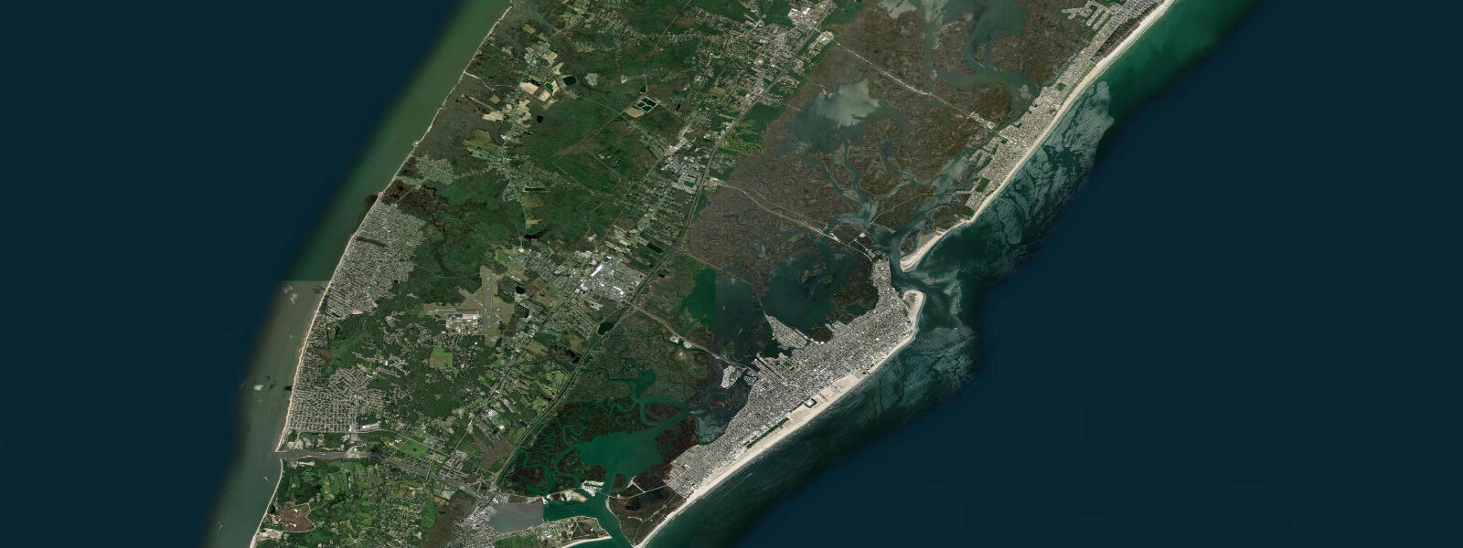
Cape May occupies the southernmost tip of New Jersey where Delaware Bay and the Atlantic meet at the confluence of two distinct tidal regimes. The Atlantic side runs semidiurnal with mean spring range around 1.4 metres; the Delaware Bay side at Cape May Harbour has a larger range reflecting the bay's amplification of the tidal wave — mean springs in the lower Bay reach 1.7 metres and timing differs from the ocean face by 1 to 2 hours. This dual exposure shapes the coastal ecology and the boating environment around the Cape.
Cape May is the oldest seaside resort in the United States, and the Victorian architecture of the National Historic Landmark District has been largely preserved. The gaslit streets and gingerbread houses sit three to four blocks from the beach on a low barrier island only a few metres above mean sea level — the tidal and storm surge exposure risk is real. Historical hurricanes (notably in 1821 and 1944) overwashed portions of the island; modern storm surge models show Cape May as one of the more vulnerable points on the New Jersey coast.
Cape May Point State Park at the very tip of New Jersey includes Cape May Point Lighthouse (1859, 157 steps to the top), coastal bunker ruins from WWII (steel gun emplacement mounts still visible on the beach), and the hawk watch platform — one of the most famous in the eastern US. The autumn raptor migration (September-November) brings thousands of sharp-shinned hawks, bald eagles, peregrines, and ospreys past the Point daily. The evening roost of monarch butterflies in the trees around the lighthouse in October is among the most spectacular migration concentrations in North America.
Sunset Beach on Delaware Bay west of the lighthouse is the traditional diamond-hunting beach — Cape May Diamonds are quartz pebbles rounded by wave action and deposited in the nearshore. Low water spring tides expose the maximum stretch of pebble beach, and the early morning low water period produces the fewest competitors for the best material. The distinctive quartz is found nowhere else in volume on the New Jersey coast.
Cape May-Lewes Ferry crosses the mouth of Delaware Bay (17 miles) to Lewes, Delaware in 85 minutes. The ferry timing is not tide-dependent at the dock, but the passage across the bay mouth (one of the most active tidal current zones on the East Coast) is timed by the operators to optimize fuel and arrival window.
The Cape May Inlet at the east end of the Cape May Canal connects Delaware Bay to the Atlantic Ocean inside the barrier. Tidal current through the inlet runs to 2 knots on spring tides and the channel is a productive fishing location for summer flounder and weakfish.
Predictions on this page come from Open-Meteo Marine, a gridded global ocean model. Accuracy is typically within plus or minus 45 minutes on timing and 0.2 to 0.3 metres on height — model-derived, not from a local gauge. For authoritative US tide data, consult NOAA CO-OPS at tidesandcurrents.noaa.gov.
Tide questions about Cape May, NJ
Quick answers to the most common questions about tide times, range, and water access at Cape May, NJ.
When is high tide at Cape May?
The tide table on this page shows predicted times in Eastern Time. Cape May runs semidiurnal with mean spring range approximately 1.4 metres on the ocean side. The NOAA CO-OPS gauge at Cape May (station 8536110) provides official predictions. Note that the Delaware Bay side of Cape May has slightly different timing and a larger range than the ocean-facing beach — the two exposures are on different tidal schedules.
What is Cape May famous for besides the Victorian architecture?
Cape May Point is one of the three most important hawk-watching sites in North America (along with Hawk Mountain, PA and Duluth, MN). The autumn migration (September-November) concentrates raptors funnelling to the tip before the Delaware Bay crossing. Shorebird migration in late July and August brings enormous numbers of sandpipers, dowitchers, and knots from the Arctic to the Delaware Bay beaches. Monarch butterfly migration in October produces spectacular afternoon aggregations in the trees around Cape May Point. The hawk watch platform in Cape May Point State Park is staffed by CMBO counters daily in autumn.
What are Cape May Diamonds?
Cape May Diamonds are pieces of pure quartz that have been rounded and polished by wave action over thousands of years. They originate from quartz veins in rocks far upstream in the Delaware River watershed, travel to the bay, and are deposited on the Delaware Bay beaches around Cape May Point. They range in size from pea-sized to walnut-sized. Most are clear or milky white; some are lightly coloured. They can be polished and faceted and are sold as gemstones at local shops. Best found at low water spring tide on the Delaware Bay beaches (Sunset Beach and Steger Beach).
Can I fish at Cape May?
Yes. Cape May Inlet is a productive location for summer flounder (fluke) on the incoming tide, as well as weakfish and striped bass. Charter and party boats depart from Cape May Marina and South Jersey Marina for offshore tuna, mahi, and billfish in summer. The Delaware Bay beaches produce weakfish in spring and autumn. Surf fishing from the Cape May Point State Park beach produces bluefish and Spanish mackerel in late summer and autumn. A New Jersey saltwater fishing registry is required.
How do I take the Cape May-Lewes Ferry?
Cape May-Lewes Ferry runs year-round between Cape May Terminal (1 Lincoln Blvd) and Lewes Ferry Terminal (43 Cape Henlopen Dr, Lewes DE). The 85-minute crossing carries cars, motorcycles, bicycles, and foot passengers. Reservations are strongly recommended in summer and on holiday weekends. The ferry does not operate in extreme weather — Delaware Bay mouth conditions can produce rough water in NE winds. Check NJF's app or website for real-time status. The ferry passage gives an excellent view of the Delaware Bay tidal dynamics.
7-day tide table — Cape May, NJ
Heights relative to MSL. Predictions: Open-Meteo Marine (MeteoFrance SMOC, 0.08° grid) — heights relative to MSL (not chart datum / LAT). Model-derived.
| Day | Type | Time | Height |
|---|---|---|---|
| Fri 19 Jun | Low | 05:36 | -1.3m / -4.2ft |
| High | 11:54 | 0.2m / 0.6ft | |
| Low | 17:52 | -1.1m / -3.7ft | |
| Sat 20 Jun | High | 00:15 | 0.3m / 1.0ft |
| Low | 18:55 | -1.1m / -3.7ft | |
| Sun 21 Jun | High | 01:10 | 0.1m / 0.3ft |
| Low | 07:19 | -1.2m / -3.8ft | |
| High | 13:48 | 0.1m / 0.4ft | |
| Low | 19:48 | -1.1m / -3.5ft | |
| Mon 22 Jun | High | 02:13 | 0.1m / 0.2ft |
| Low | 08:06 | -1.0m / -3.4ft | |
| High | 14:47 | 0.2m / 0.6ft | |
| Low | 21:04 | -1.1m / -3.6ft | |
| Tue 23 Jun | High | 03:08 | -0.1m / -0.4ft |
| Low | 08:51 | -1.1m / -3.6ft | |
| High | 15:39 | 0.2m / 0.6ft | |
| Low | 21:51 | -1.1m / -3.4ft | |
| Wed 24 Jun | High | 04:05 | -0.1m / -0.4ft |
| Low | 09:45 | -1.1m / -3.5ft | |
| High | 16:34 | 0.1m / 0.4ft | |
| Low | 22:54 | -1.1m / -3.5ft | |
| Thu 25 Jun | High | 05:02 | -0.2m / -0.7ft |
| Low | 10:35 | -1.1m / -3.5ft | |
| High | 17:21 | 0.2m / 0.6ft | |
| Low | 19:00 | -0.0m / -0.0ft |