Rehoboth Beach, DE tide times
Rehoboth Beach, DE tide forecast — heights relative to MSL.
Today's tide times for Rehoboth Beach, DE
Tide times at Rehoboth Beach, DE on Sunday, 21 June 2026: first high tide at 01:12am, first low tide at 07:17am, second high tide at 01:45pm, second low tide at 07:51pm. Sunrise 05:35am, sunset 08:28pm.
Tide chart for Rehoboth Beach, DE
24-hour cosine-interpolated curve around the present moment. Heights relative to MSL. Predictions: Predictions: Open-Meteo Marine (MeteoFrance SMOC, 0.08° grid).
Sun, moon and conditions on Sun 21 Jun
Snapshot at build time — refreshes daily. Sea state from Open-Meteo Marine.
Highs and lows next 7 days
Every predicted high and low for the next week, with the daily tidal coefficient (0–120; higher = bigger swing, > 95 means stronger currents).
Other spots nearby
The three closest curated TideTurtle locations to Rehoboth Beach, DE, measured by great-circle distance.
Today's solunar windows
Solunar tradition: major periods are the ≈3h windows around moon transit and opposition; minor are ≈2h around moonrise and moonset. Pair with the local tide stage and wind for the best read.
Cycle dates near Rehoboth Beach, DE
Next spring tide on Mon 22 Jun (range 1.1m / 3.8ft). Next neap on Wed 24 Jun.
Spring tides cluster around new and full moons (biggest swings). Neap tides land on quarter moons (smallest swings). See the spring tide and neap tide glossary entries for the why.
About tides at Rehoboth Beach, DE
A short guide to the coastline at Rehoboth Beach, DE — geography, sea state, and what the tide is actually doing under your feet.
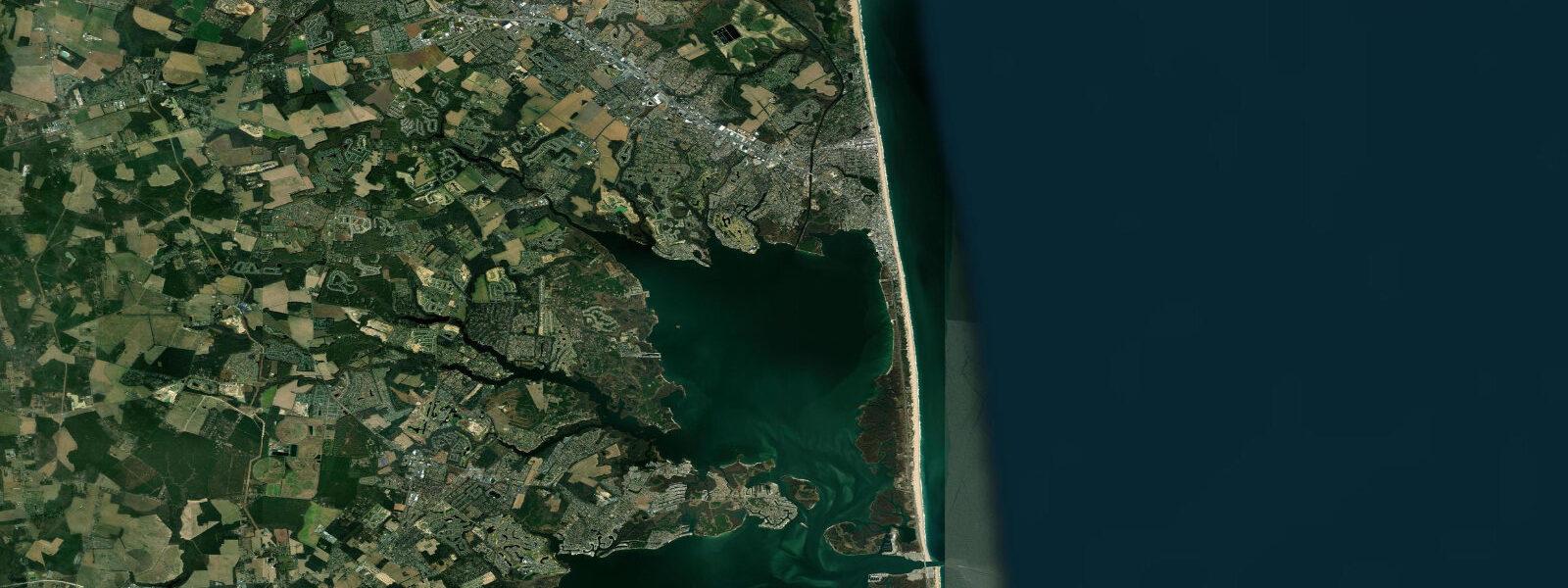
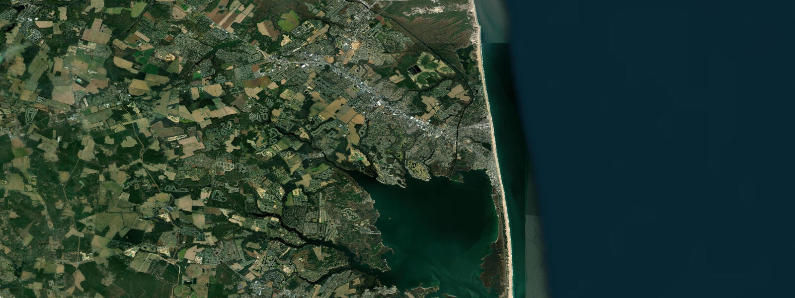
Rehoboth Beach is Delaware's largest ocean resort, fronting the Atlantic on a barrier strand with Rehoboth Bay behind it and the Lewes-Rehoboth Canal running along its western edge. Mean tidal range on the ocean face is approximately 1.2 m MLLW — standard for the Delaware barrier coast — with semidiurnal rhythm giving two high and two low waters each day. The inlet at the south end of town at Indian River Inlet (about 10 km south) is the main tidal exchange between the bay and ocean; the ocean beach itself faces open Atlantic swell.
The beach at the foot of the boardwalk is wide at low tide — a low-water strip of compacted sand 60–80 m across where the wave break is furthest from the dune line and beach games, sand castle construction, and tide pool exploration are easiest. High tide pulls the surf to within 20–30 m of the dune line. For swimming families, mid-tide offers the most comfortable entry: water is shallow over a gradually sloping bottom, and the wave face hasn't yet steepened as it does at low tide when it breaks on the outer bar. Lifeguard zones are active from Memorial Day through Labor Day.
Surf conditions at Rehoboth are modest by mid-Atlantic standards — head-high waves occur on northeast and northeast-east swells in autumn and winter, but summer sessions are often waist-high or smaller. The tide phase still matters: low tide can expose the outer sandbar and create a punchy shore break, while a mid- to high-tide session typically produces longer, slower walls. The inlet jetties at Indian River, reachable by a short drive, produce more consistent breaks when swell is running.
Rehoboth Bay behind the barrier is effectively non-tidal for most recreational purposes — the inlet restriction limits tidal exchange and the bay's large surface area means range is a few centimetres under typical conditions. This makes it ideal for stand-up paddleboarding, kayaking, and flat-water rowing at any tide stage. The Lewes-Rehoboth Canal along the town's northern edge carries more tidal current — up to 0.5 knots on a strong tide — and is a workable SUP or kayak route on calm days.
For anglers, the ocean surf line is productive for striped bass and bluefish from September through November on either side of the low-tide trough. Pompano and kingfish work the inshore bar through summer. The bay supports flounder, weakfish, and speckled trout in the grass channels; boat ramps on Rehoboth Bay give access to deeper holding water on the ebb.
Tide predictions shown here come from Open-Meteo Marine global model output, which provides useful planning horizons but carries uncertainty of ±45 minutes on timing and ±0.2–0.3 m on height. The nearest NOAA CO-OPS station with published predictions for this area is Lewes (station 8557380, approximately 10 km north); verified predictions there are the most accurate proxy for Rehoboth ocean beach tides, with times running roughly 5 minutes earlier than Lewes.
Tide questions about Rehoboth Beach, DE
Quick answers to the most common questions about tide times, range, and water access at Rehoboth Beach, DE.
What tide is best for swimming at Rehoboth Beach?
Mid-tide on the flood is the most comfortable for swimming — the bottom slope is gradual, rip currents at the bar gap are weakest, and the wave face is consistent rather than dumping. Low tide can expose an outer bar that produces a sharp shore break close to the waterline, which is less ideal for casual swimmers. High tide compresses the swimming zone but eliminates the bar hazard. Check the day's tide times on this page and plan entry for the 90-minute window either side of mid-flood.
Is Rehoboth Bay suitable for kayaking regardless of tide?
Yes. Rehoboth Bay is effectively non-tidal — the narrow inlet restricts bay-ocean exchange so the bay's tidal range is a few centimetres at most. Flat water conditions prevail at any stage of tide, making it reliable for beginners, families, and SUP at any time of day. Wind is the dominant variable; northwest and southwest winds generate chop that can make the 5-km crossing to the far shore demanding. Launch from the town ramps or the canal landing for the most sheltered start.
Where do surfers go when Rehoboth Beach is small?
Indian River Inlet, about 10 km south, is the most consistent break in the immediate area. The north jetty produces a hollow right on northeast swells; the south side breaks longer and more forgiving. The inlet is tidal — current runs strong through the channel on ebb and flood, and the break shape changes noticeably with tide phase. Low incoming tide at Indian River is widely regarded as the window that combines swell shape with manageable current.
When do striped bass run in the Rehoboth surf?
The primary striper window at Rehoboth is September through November, with peak activity typically in October when water temperatures drop toward 15–18 °C and fish follow bunker schools along the beach. Productive sessions tend to cluster in the two hours before and after sunrise on moving tides — either flood or ebb — with the outgoing tide from Indian River Inlet concentrating bait at the inlet mouth for the most reliable congregation. Late April–May offers a secondary spring run of smaller schoolies in the surf.
Is this tide data safe for navigation planning at Rehoboth?
No. Tide predictions on TideTurtle are generated by the Open-Meteo Marine global model and are intended for recreational awareness and general activity planning only. They carry inherent uncertainty of ±45 minutes on timing and ±0.2–0.3 m on height compared to gauge observations. Navigation decisions — including inlet approach timing at Indian River Inlet, which has strong cross-currents on ebb — require NOAA official tide tables and current predictions. Use NOAA CO-OPS station 8557380 (Lewes) for the nearest verified reference.
7-day tide table — Rehoboth Beach, DE
Heights relative to MSL. Predictions: Open-Meteo Marine (MeteoFrance SMOC, 0.08° grid) — heights relative to MSL (not chart datum / LAT). Model-derived.
| Day | Type | Time | Height |
|---|---|---|---|
| Sun 21 Jun | High | 01:12 | 0.0m / 0.0ft |
| Low | 07:17 | -1.1m / -3.6ft | |
| High | 13:45 | 0.0m / 0.1ft | |
| Low | 19:51 | -1.0m / -3.3ft | |
| Mon 22 Jun | High | 02:06 | -0.0m / -0.1ft |
| Low | 08:05 | -1.0m / -3.4ft | |
| High | 14:46 | 0.1m / 0.2ft | |
| Low | 21:03 | -1.0m / -3.4ft | |
| Tue 23 Jun | High | 03:22 | -0.2m / -0.7ft |
| Low | 08:48 | -1.1m / -3.5ft | |
| High | 15:50 | 0.1m / 0.2ft | |
| Low | 22:00 | -1.0m / -3.2ft | |
| Wed 24 Jun | High | 04:07 | -0.2m / -0.7ft |
| Low | 09:43 | -1.0m / -3.3ft | |
| High | 16:36 | 0.1m / 0.3ft | |
| Low | 23:07 | -1.0m / -3.2ft | |
| Thu 25 Jun | High | 05:04 | -0.3m / -0.8ft |
| Low | 23:50 | -0.9m / -3.0ft | |
| Fri 26 Jun | High | 05:40 | -0.2m / -0.5ft |
| Low | 11:24 | -0.9m / -3.0ft | |
| High | 18:07 | 0.2m / 0.6ft | |
| Sat 27 Jun | Low | 12:05 | -0.9m / -3.1ft |
| High | 19:00 | 0.2m / 0.6ft |