Bethany Beach, DE tide times
Bethany Beach, DE tide forecast — heights relative to MSL.
Today's tide times for Bethany Beach, DE
Tide times at Bethany Beach, DE on Sunday, 21 June 2026: first high tide at 12:38am, first low tide at 06:50am, second high tide at 01:16pm. Sunrise 05:36am, sunset 08:27pm.
Tide chart for Bethany Beach, DE
24-hour cosine-interpolated curve around the present moment. Heights relative to MSL. Predictions: Predictions: Open-Meteo Marine (MeteoFrance SMOC, 0.08° grid).
Sun, moon and conditions on Sun 21 Jun
Snapshot at build time — refreshes daily. Sea state from Open-Meteo Marine.
Highs and lows next 7 days
Every predicted high and low for the next week, with the daily tidal coefficient (0–120; higher = bigger swing, > 95 means stronger currents).
Other spots nearby
The three closest curated TideTurtle locations to Bethany Beach, DE, measured by great-circle distance.
Today's solunar windows
Solunar tradition: major periods are the ≈3h windows around moon transit and opposition; minor are ≈2h around moonrise and moonset. Pair with the local tide stage and wind for the best read.
Cycle dates near Bethany Beach, DE
Next spring tide on Mon 22 Jun (range 1.1m / 3.5ft). Next neap on Sun 21 Jun.
Spring tides cluster around new and full moons (biggest swings). Neap tides land on quarter moons (smallest swings). See the spring tide and neap tide glossary entries for the why.
About tides at Bethany Beach, DE
A short guide to the coastline at Bethany Beach, DE — geography, sea state, and what the tide is actually doing under your feet.
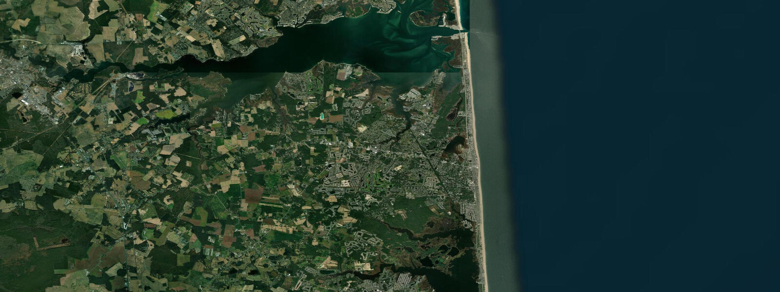
Bethany Beach sits near the southern end of Delaware's ocean coast, separated from Maryland's Fenwick Island by a few kilometres of undeveloped barrier strand. It earns its reputation as the 'quiet resort' of the Delaware shore — lower density, narrower commercial strip, and a beach culture more oriented toward families and shorebird watchers than nightlife. Tidal range on the ocean face is approximately 1.1 m MLLW, among the smaller values on the Delaware coast, with semidiurnal rhythm producing two daily tide cycles.
The barrier beach at Bethany is wide and low-profile, with a gradual nearshore slope that produces gentle wave break across most of the tidal range — a significant factor for families with children. At mean lower low water, the exposed beach extends 50–70 m seaward of the high-tide wrack line, and the exposed sand at the water's edge is firm enough for walking, jogging, and shore fishing without equipment. The beach narrows by approximately half at high water but retains enough dry sand above the wrack line for a full beach setup.
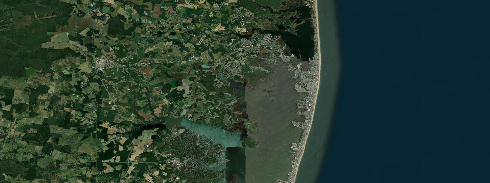
Little Assawoman Bay lies immediately behind the barrier, connected to the ocean by the Assawoman Canal and the inlet at Fenwick Island. Like Rehoboth Bay, the bay is heavily restricted from tidal exchange, making it effectively non-tidal for recreational planning. The calm surface and shallow depth make it ideal for kayaking and SUP, particularly in morning before sea breezes build. The bay's grass beds support a diverse shorebird assemblage — great blue heron, snowy egret, willet, and dunlin forage the exposed mudflats at low water on the bay side of the barrier, reaching maximum density roughly 2 hours before and after low tide.
For birders, Bethany's real draw is the concentration of shorebird habitat at the Assawoman Wildlife Area, which spans the marsh just north of town. The wildlife area is accessible by kayak from the canal; the optimal visit is timed to arrive at the bay mudflats 1–2 hours before low water, when birds are still arriving from roosting sites and feeding activity is high.
Surf fishing from the Bethany beach is productive for summer flounder (fluke) in the inner trough from June through August, and for stripers and bluefish in autumn. The gentle slope produces a well-defined inner trough that concentrates fish at low tide. The fewer crowds compared to Rehoboth mean accessible beach driving permits (Delaware beach driving permit required) can be used more comfortably at Bethany's northern and southern ends during off-peak mornings.
Tide times for Bethany Beach are sourced from Open-Meteo Marine model output, with planning uncertainty of ±45 minutes on timing and ±0.2–0.3 m on height. The nearest NOAA CO-OPS reference station is Indian River Inlet (station 8558690), located approximately 8 km north. Official harmonic predictions there provide the most accurate local tide window; Bethany times run within a few minutes of Indian River Inlet.
Tide questions about Bethany Beach, DE
Quick answers to the most common questions about tide times, range, and water access at Bethany Beach, DE.
How wide is the beach at Bethany at low tide compared to high?
At mean lower low water, the exposed beach face at Bethany extends 50–70 m seaward of the high-tide wrack line. At mean high water, that drops to roughly 25–35 m of dry sand. The gradient is gentle, so the change in water depth over the last 30 m of beach is shallow at all tide stages — the wave break stays soft rather than dumping. For beach chairs and shade setups, aim to place gear above the wrack line, which marks the reliable dry zone at all tides.
When is the best time for shorebird watching near Bethany Beach?
The most productive shorebird window at the bay-side mudflats in Little Assawoman Bay and the Assawoman Wildlife Area is 2 hours before low water through 30 minutes after. Dunlin, willet, semipalmated sandpiper, and great egret feed heavily on the exposed flat as water drops. Spring migration — late April through late May — produces peak diversity. A kayak launch from the canal near the Route 26 bridge puts you at the main mudflat in 15 minutes.
Is Bethany Beach good for beginner surfers?
The beach break at Bethany is gentle enough for beginners at mid-tide, particularly on small-to-moderate swell days from August through October. The gradual bottom slope produces mushy, slow-peeling waves rather than the sharp shoredump found at steeper beach profiles. Conditions rarely reach overhead except during autumn nor'easters. Lessons and board rentals are available in town; the stretch immediately south of the town centre and north toward the wildlife area sees fewer swimmers, giving learners more space.
Can I drive on Bethany Beach and do I need a permit?
Motorized beach access in Delaware requires a Delaware Off-Road Vehicle permit, available through Delaware State Parks. Vehicle access points at Bethany operate seasonally — generally accessible from Labour Day through Memorial Day weekend on the northern and southern residential sections — and are closed during summer peak season on the main town beach. Rules on beach width, speed, and proximity to swimmers are posted at each access ramp. Tidal stage affects usable driving surface: compact wet sand below the recent wrack line is best from 1 hour after high water through low water and the early flood.
Are tide predictions here reliable enough for nautical use near Bethany?
No. TideTurtle's predictions are generated by Open-Meteo Marine, a global atmospheric-ocean model with planning-level precision of ±45 minutes on timing and ±0.2–0.3 m on height. They are not calibrated to local gauge data and do not account for storm surge or inlet-specific hydraulic effects. For any navigation involving the Assawoman Canal or Fenwick Island Inlet, use NOAA CO-OPS official predictions for Indian River Inlet (station 8558690) and the current NOAA chart for the approach.
7-day tide table — Bethany Beach, DE
Heights relative to MSL. Predictions: Open-Meteo Marine (MeteoFrance SMOC, 0.08° grid) — heights relative to MSL (not chart datum / LAT). Model-derived.
| Day | Type | Time | Height |
|---|---|---|---|
| Sun 21 Jun | High | 00:38 | -0.1m / -0.3ft |
| Low | 06:50 | -1.1m / -3.5ft | |
| High | 13:16 | 0.0m / 0.0ft | |
| Mon 22 Jun | Low | 07:45 | -1.0m / -3.3ft |
| High | 14:13 | -0.0m / -0.1ft | |
| Low | 20:42 | -1.0m / -3.3ft | |
| Tue 23 Jun | High | 02:50 | -0.3m / -1.0ft |
| Low | 08:19 | -1.0m / -3.4ft | |
| High | 15:23 | 0.0m / 0.1ft | |
| Low | 21:42 | -0.9m / -3.0ft | |
| Wed 24 Jun | High | 03:24 | -0.3m / -0.9ft |
| Low | 09:16 | -1.0m / -3.2ft | |
| High | 16:04 | 0.1m / 0.2ft | |
| Low | 22:50 | -0.9m / -3.0ft | |
| Thu 25 Jun | High | 04:22 | -0.3m / -1.0ft |
| Low | 10:08 | -0.9m / -3.1ft | |
| High | 16:55 | 0.1m / 0.3ft | |
| Fri 26 Jun | Low | 11:00 | -0.9m / -2.9ft |
| Sat 27 Jun | High | 05:47 | -0.2m / -0.7ft |
| Low | 11:42 | -0.9m / -3.0ft | |
| High | 18:19 | 0.1m / 0.4ft |