Lewes, DE tide times
Lewes, DE tide forecast — heights relative to MSL.
Today's tide times for Lewes, DE
Tide times at Lewes, DE on Sunday, 21 June 2026: first high tide at 01:50am, first low tide at 07:51am, second high tide at 02:25pm, second low tide at 08:25pm. Sunrise 05:35am, sunset 08:28pm.
Tide chart for Lewes, DE
24-hour cosine-interpolated curve around the present moment. Heights relative to MSL. Predictions: Predictions: Open-Meteo Marine (MeteoFrance SMOC, 0.08° grid).
Sun, moon and conditions on Sun 21 Jun
Snapshot at build time — refreshes daily. Sea state from Open-Meteo Marine.
Highs and lows next 7 days
Every predicted high and low for the next week, with the daily tidal coefficient (0–120; higher = bigger swing, > 95 means stronger currents).
Other spots nearby
The three closest curated TideTurtle locations to Lewes, DE, measured by great-circle distance.
Today's solunar windows
Solunar tradition: major periods are the ≈3h windows around moon transit and opposition; minor are ≈2h around moonrise and moonset. Pair with the local tide stage and wind for the best read.
Cycle dates near Lewes, DE
Next spring tide on Mon 22 Jun (range 1.3m / 4.2ft). Next neap on Sun 21 Jun.
Spring tides cluster around new and full moons (biggest swings). Neap tides land on quarter moons (smallest swings). See the spring tide and neap tide glossary entries for the why.
About tides at Lewes, DE
A short guide to the coastline at Lewes, DE — geography, sea state, and what the tide is actually doing under your feet.
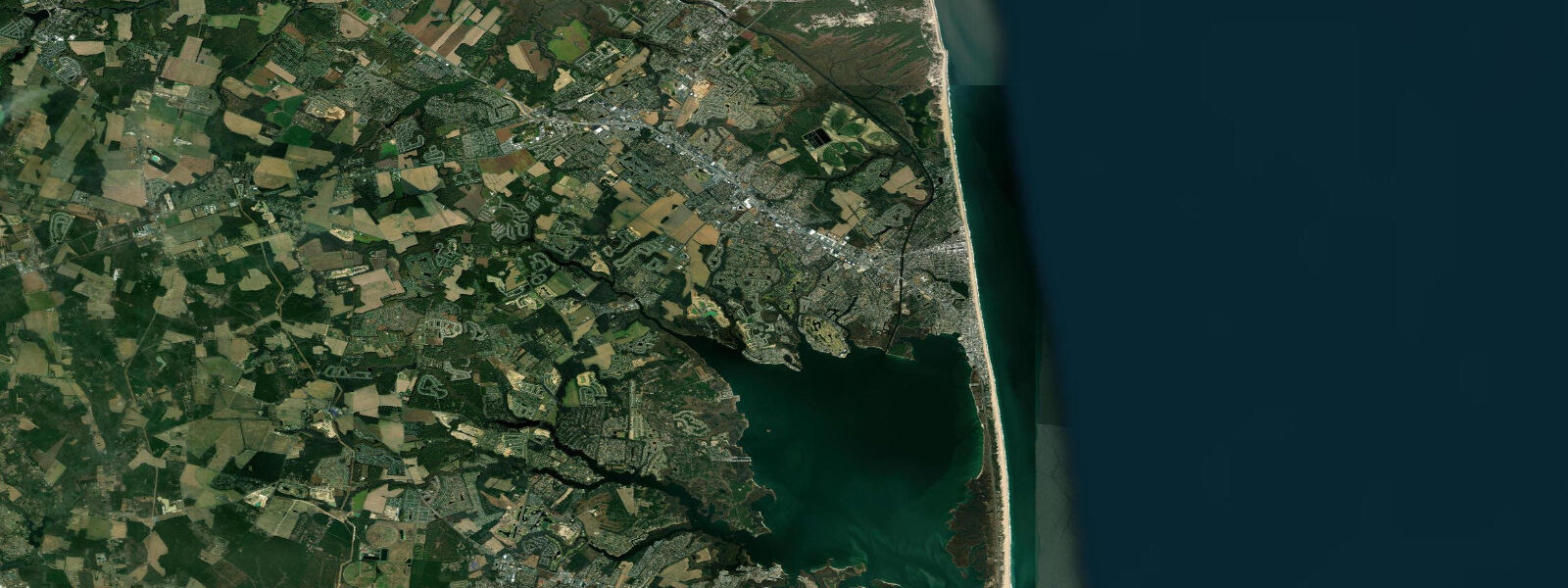
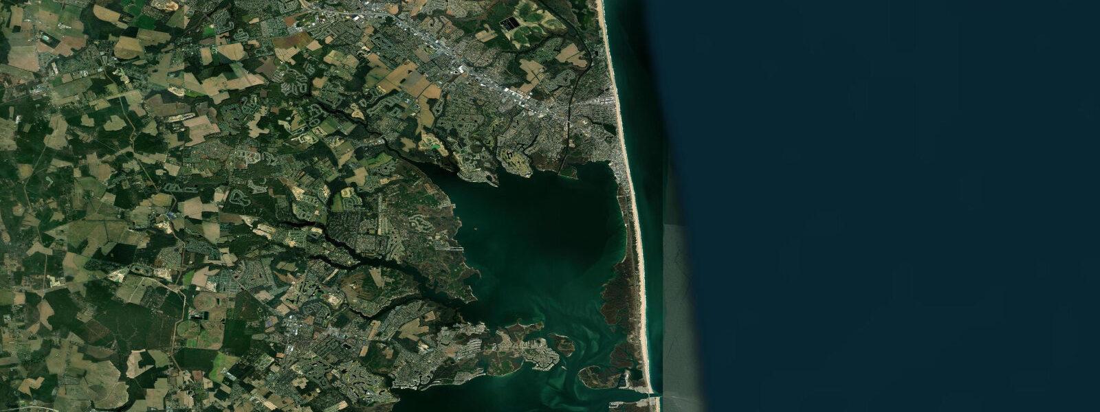
Lewes sits at the mouth of Delaware Bay, where Atlantic Ocean tides funnel into the bay's narrowing throat and begin their amplification northward. Mean range here is approximately 1.5 m MLLW — higher than the open-ocean beaches just south, because the bay geometry concentrates tidal energy at the entrance. The town itself occupies a narrow peninsula between the bay, the Lewes-Rehoboth Canal, and the marshes of Cape Henlopen State Park, so the tide influences nearly every activity within walking distance.
Cape Henlopen State Park's shoreline extends across the very tip of the cape, where the bay and ocean mix. The beach at the point experiences a different wave climate on each face: the bay side is gentler, with a sandy flat exposed at low water that extends 100 m or more and is productive for surf clamming and shorebird observation during the May horseshoe crab spawning peak. The ocean side faces northeast swells that build across the full Atlantic fetch. Low tide drops the beach width by roughly 30 m on the ocean face — significant for beach setup and surf entry.
The Cape May–Lewes Ferry terminal sits on the bay side of town. Departures are not tide-dependent, but crossing conditions change noticeably with tidal current through the bay mouth. Opposing wind and ebb current produce short steep chop at the entrance that experienced passengers notice; it resolves within a mile once the ferry clears the shoals. The Lewes-Rehoboth Canal connects the bay to Rehoboth Bay inland and runs tidal current in both directions depending on the cycle — kayakers using it for a bay-to-ocean traverse should plan for the flood to assist the eastward leg.
For anglers, the flats inside Cape Henlopen and the jetty on the north side of the inlet are productive for striped bass and weakfish on moving tides, particularly the last two hours of ebb when bait concentrates at the channel edge. Bluefish stack near the surface on incoming tides at the cape tip from late April through October. Flounder work the soft bottom in the canal on the flood.
Families with young children find the bay beach inside the park most manageable at mid to high tide, when the water is calm and shallow over sand rather than the exposed tidal flat. Photographers targeting the horseshoe crab spawning — one of the Atlantic coast's iconic natural events — need to be in position around a new or full moon high tide in May, ideally 30 minutes before peak, when crabs move up onto the beach in numbers.
Tide predictions for Lewes come from NOAA CO-OPS station 8557380, which is the authoritative source for timing and height. TideTurtle displays predictions generated by Open-Meteo Marine, which provides global coverage but carries inherent uncertainty of approximately ±45 minutes on timing and ±0.2–0.3 m on height versus gauge measurements. For critical navigation planning, passage timing, or commercial activity, always verify against NOAA CO-OPS directly at tidesandcurrents.noaa.gov.
Tide questions about Lewes, DE
Quick answers to the most common questions about tide times, range, and water access at Lewes, DE.
When is low tide at Cape Henlopen and how far does the beach expose?
Low water at Cape Henlopen averages 1.5 m below mean high water, exposing the bay-side flat by 100 m or more at mean lower low water. The exact time shifts roughly 50 minutes later each day. TideTurtle's prediction shows the next 7 days; for same-day precision, cross-check against NOAA CO-OPS station 8557380 (Lewes) — predictions are within minutes of what you'll observe at the cape.
What is the best tide stage for watching horseshoe crabs spawn at Delaware Bay?
Horseshoe crabs spawn on high tides during new and full moons in May and early June. The critical window is from about 45 minutes before peak high tide until 30 minutes after — crabs move onto the beach to deposit eggs in the upper wet sand and retreat with the ebb. Spring tides (moon within 2 days of new or full) produce the biggest events. The bay-side beach at Cape Henlopen State Park is the most accessible viewing site near Lewes.
Can I kayak from Lewes Canal through to Rehoboth Bay on the same day?
Yes — the Lewes-Rehoboth Canal is approximately 5 km long with no portages. The canal runs tidal current; an eastbound (bay-to-Rehoboth Bay) transit is easiest on the flood tide, which runs east-northeast through most of its length. Time your launch 1–2 hours before local high water for an assisted downstream run. The canal is marked and used by powerboats — stay right and be visible.
Does the Cape May–Lewes Ferry run on a tide schedule?
Ferry departures operate on a fixed schedule independent of tides. However, crossing conditions through the Delaware Bay mouth can be notably rougher when a strong wind opposes an ebb current, producing short steep chop at the bay entrance for the first mile or so of the outbound crossing. This is most pronounced during spring ebb with a northeast wind above 15 knots. The NOAA tidal current prediction for the bay mouth (Cape Henlopen) gives the ebb/flood phasing.
Is the Lewes waterfront safe for navigation by recreational vessels?
Tide predictions on this site are generated by Open-Meteo Marine and are intended for general planning and recreational awareness only. They are not official marine charts, not corrected to local datum with survey precision, and carry timing uncertainty of approximately ±45 minutes and height uncertainty of ±0.2–0.3 m. Navigation decisions — including inlet approach, channel depth, and departure timing — must be based on NOAA charts, the official NOAA CO-OPS tide tables for Lewes (station 8557380), and current USCG Notices to Mariners.
7-day tide table — Lewes, DE
Heights relative to MSL. Predictions: Open-Meteo Marine (MeteoFrance SMOC, 0.08° grid) — heights relative to MSL (not chart datum / LAT). Model-derived.
| Day | Type | Time | Height |
|---|---|---|---|
| Sun 21 Jun | High | 01:50 | 0.1m / 0.2ft |
| Low | 07:51 | -1.2m / -3.8ft | |
| High | 14:25 | 0.1m / 0.4ft | |
| Low | 20:25 | -1.0m / -3.4ft | |
| Mon 22 Jun | High | 02:47 | 0.0m / 0.1ft |
| Low | 08:39 | -1.1m / -3.5ft | |
| High | 15:20 | 0.2m / 0.5ft | |
| Low | 21:36 | -1.1m / -3.6ft | |
| Tue 23 Jun | High | 03:50 | -0.2m / -0.5ft |
| Low | 09:25 | -1.1m / -3.7ft | |
| High | 16:17 | 0.1m / 0.5ft | |
| Wed 24 Jun | Low | 10:15 | -1.0m / -3.4ft |
| High | 17:11 | 0.2m / 0.6ft | |
| Low | 23:35 | -1.0m / -3.3ft | |
| Thu 25 Jun | High | 05:39 | -0.2m / -0.6ft |
| Low | 11:05 | -1.0m / -3.2ft | |
| High | 18:00 | 0.2m / 0.8ft | |
| Fri 26 Jun | Low | 00:15 | -0.9m / -3.1ft |
| High | 06:24 | -0.1m / -0.3ft | |
| Low | 11:57 | -0.9m / -3.1ft | |
| High | 18:48 | 0.3m / 0.9ft | |
| Sat 27 Jun | Low | 01:08 | -0.9m / -3.1ft |
| High | 07:08 | -0.1m / -0.4ft | |
| Low | 12:40 | -1.0m / -3.2ft | |
| High | 19:00 | 0.2m / 0.8ft |