Kahului tide times
Kahului tide forecast — heights relative to MSL.
Today's tide times for Kahului
Tide times at Kahului on Thursday, 18 June 2026: first low tide at 02:00pm. Sunrise 05:45am, sunset 07:08pm.
Tide chart for Kahului
24-hour cosine-interpolated curve around the present moment. Heights relative to MSL. Predictions: Predictions: Open-Meteo Marine (MeteoFrance SMOC, 0.08° grid).
Sun, moon and conditions on Thu 18 Jun
Snapshot at build time — refreshes daily. Sea state from Open-Meteo Marine.
Highs and lows next 7 days
Every predicted high and low for the next week, with the daily tidal coefficient (0–120; higher = bigger swing, > 95 means stronger currents).
Other spots nearby
The three closest curated TideTurtle locations to Kahului, measured by great-circle distance.
Today's solunar windows
Solunar tradition: major periods are the ≈3h windows around moon transit and opposition; minor are ≈2h around moonrise and moonset. Pair with the local tide stage and wind for the best read.
About tides at Kahului
A short guide to the coastline at Kahului — geography, sea state, and what the tide is actually doing under your feet.
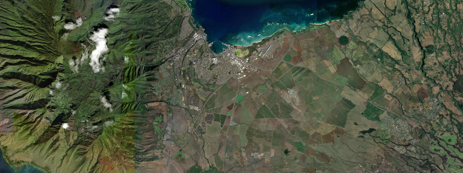
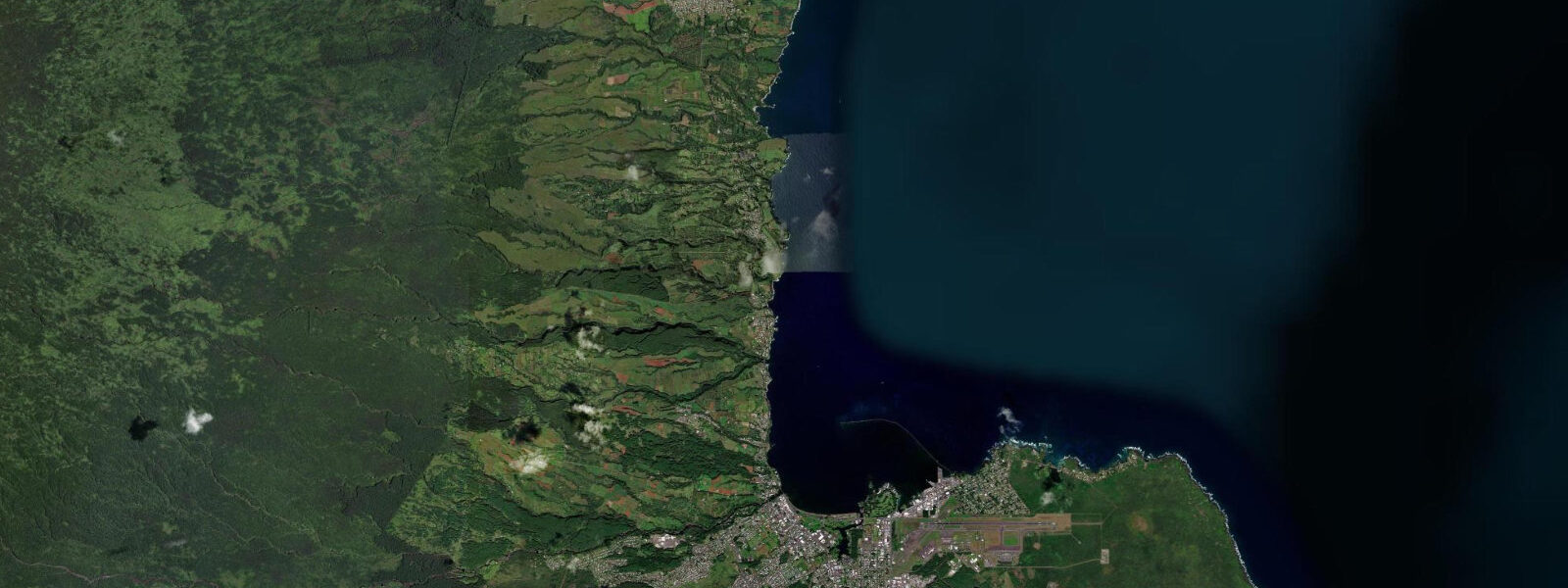
Kahului is Maui's main harbour and the island's commercial heart, but for water users it matters because of two things: Kanaha Beach Park to the east, and the Ma'alaea Bay access to the south. The tidal pattern is the same as Hilo — mixed semidiurnal, mean range around 0.6 metres — but the exposure is completely different. Kahului Bay faces north and catches the channel wind between Maui and Moloka'i, which makes it one of the windiest consistent kitesurfing and windsurfing venues in the world.
Kanaha Beach Park is where the wind riders set up. From November through April, the Kona wind reversal sometimes drops the trades and the bay goes flat, but from May through October the northeast trade wind blows 20 to 35 knots almost every afternoon with mechanical regularity. Kitesurfers launch from the beach; windsurfers rig at the dedicated windsurfer beach 200 metres west. Low tide leaves the inside section shallow, which means falls are less punishing — a factor not lost on beginners.
The tidal windows matter for both sports. Low water exposes reef and rocks near the launch zone; experienced riders know to avoid the inside section at low tide. The optimal window is mid-tide to high water when the inside section is deep enough for clean water starts. Tide prediction is printed on the bulletin boards at both beach parks.
Ma'alaea Bay, on the southwest side of the isthmus, is sheltered from the north wind and hosts one of the fastest breaking waves in the world — Freight Trains, a right-hand point break that runs along a reef shelf in 1 to 2 metres of water. The wave is highly sensitive to swell direction and tide level; it only works properly on a medium incoming tide with a west or northwest swell at 6 to 8 feet. When it fires, it's a 200-metre sprint that drains dry at low tide.
Kahului Harbour itself is industrial — container ships and petroleum tankers — but the channel entrance is watched by surfers for the occasional winter swell that wraps in from the north. The small break at the harbour entrance handles short-period north swell adequately; it's a local secret that works maybe 20 days per year.
Snorkelling access from Kahului is minimal — the bay is turbid from harbour traffic and river discharge. Most snorkellers transit to Kihei or West Maui by car. The harbour does offer good whale watching from the breakwater December through April, when humpbacks congregate in the Maui Nui basin and regularly breach in full view of the parking lot.
Predictions on this page come from Open-Meteo Marine, a gridded global ocean model. Accuracy is typically within plus or minus 45 minutes on timing and 0.2 to 0.3 metres on height — model-derived, not from a local gauge. For authoritative US tide data, consult NOAA CO-OPS at tidesandcurrents.noaa.gov.
Tide questions about Kahului
Quick answers to the most common questions about tide times, range, and water access at Kahului.
What are the wind and tide conditions at Kanaha Beach Park?
Kanaha is one of the world's premier windsurfing and kitesurfing venues. Trade winds blow 20 to 35 knots from the northeast most afternoons May through October. Tidal range is small (0.5 to 0.7 m), but the inside reef section becomes dangerously shallow at low water — plan launches and water starts for mid-tide to high. The beach has a dedicated kite zone and windsurfer area to manage right-of-way conflicts.
What is the Freight Trains wave at Ma'alaea?
Freight Trains is a right-hand point break off the Ma'alaea small boat harbour that is considered one of the fastest waves on earth when it works. It needs a clean WNW to NW groundswell at 6 to 8 feet, offshore wind, and a rising mid-tide. At low tide the reef is exposed and the wave is dangerous; at high tide the wave loses form. It works perhaps 20 to 30 days per year under the right conditions. It is an advanced-only wave — the speed is genuinely extreme.
Where can I snorkel from Kahului?
Kahului Bay itself is not a snorkelling destination — the water is turbid from the commercial harbour and stream discharge. The closest clear-water snorkelling is at Kanahā Pond Wildlife Sanctuary (bird watching, not snorkelling) or you need to drive south 15 minutes to Kihei (Kamaole Beach Parks) or north 30 minutes to Hookipa or Pa'ia. West Maui snorkelling at Molokini Crater requires a morning charter from Ma'alaea Harbour.
When can I see humpback whales from Kahului?
Humpback whales are in Hawaiian waters December through April, with peak concentrations January through March. They're highly visible from the Kahului breakwater and harbour area — breaches and pec slaps are common. The Maui Nui basin between Maui, Lana'i, and Moloka'i is a primary winter breeding ground. For closer encounters, whale-watching boat tours depart from Ma'alaea Harbour. Federal regulations require remaining 100 metres from whales.
Is there surf near Kahului Harbour?
The harbour entrance break handles short-period north swell (6 to 8 feet, 10 to 12 second period) and works maybe 20 days per year. Hookipa Beach Park, 10 minutes east on the Hana Highway, is the main surf and windsurfing spot on the north shore — world-class waves and a committed local crew. Jaws (Peahi), also on the north shore about 20 minutes from Kahului, is one of the biggest big-wave spots in the world and not accessible to the public during surf sessions.
8-day tide table — Kahului
Heights relative to MSL. Predictions: Open-Meteo Marine (MeteoFrance SMOC, 0.08° grid) — heights relative to MSL (not chart datum / LAT). Model-derived.
| Day | Type | Time | Height |
|---|---|---|---|
| Thu 18 Jun | Low | 14:00 | 0.6m / 1.9ft |
| Fri 19 Jun | High | 18:06 | 0.8m / 2.7ft |
| Sat 20 Jun | Low | 01:15 | 0.3m / 1.0ft |
| Sun 21 Jun | High | 19:00 | 0.7m / 2.3ft |
| Mon 22 Jun | Low | 02:50 | 0.3m / 0.9ft |
| High | 10:50 | 0.6m / 2.0ft | |
| Tue 23 Jun | — | ||
| Wed 24 Jun | — | ||
| Thu 25 Jun | Low | 04:45 | 0.2m / 0.5ft |
| High | 13:00 | 0.8m / 2.7ft | |