Tybee Island, GA tide times
Tybee Island, GA tide forecast — heights relative to MSL.
Today's tide times for Tybee Island, GA
Tide times at Tybee Island, GA on Sunday, 21 June 2026: first high tide at 01:00am, first low tide at 07:22am, second high tide at 01:39pm, second low tide at 07:57pm. Sunrise 06:17am, sunset 08:32pm.
Tide chart for Tybee Island, GA
24-hour cosine-interpolated curve around the present moment. Heights relative to MSL. Predictions: Predictions: Open-Meteo Marine (MeteoFrance SMOC, 0.08° grid).
Sun, moon and conditions on Sun 21 Jun
Snapshot at build time — refreshes daily. Sea state from Open-Meteo Marine.
Highs and lows next 7 days
Every predicted high and low for the next week, with the daily tidal coefficient (0–120; higher = bigger swing, > 95 means stronger currents).
Other spots nearby
The three closest curated TideTurtle locations to Tybee Island, GA, measured by great-circle distance.
Today's solunar windows
Solunar tradition: major periods are the ≈3h windows around moon transit and opposition; minor are ≈2h around moonrise and moonset. Pair with the local tide stage and wind for the best read.
Cycle dates near Tybee Island, GA
Last spring tide on Sat 20 Jun (range 1.9m / 6.4ft). Next spring tide on Fri 26 Jun (range 2.0m / 6.5ft). Next neap on Wed 24 Jun.
Spring tides cluster around new and full moons (biggest swings). Neap tides land on quarter moons (smallest swings). See the spring tide and neap tide glossary entries for the why.
About tides at Tybee Island, GA
A short guide to the coastline at Tybee Island, GA — geography, sea state, and what the tide is actually doing under your feet.
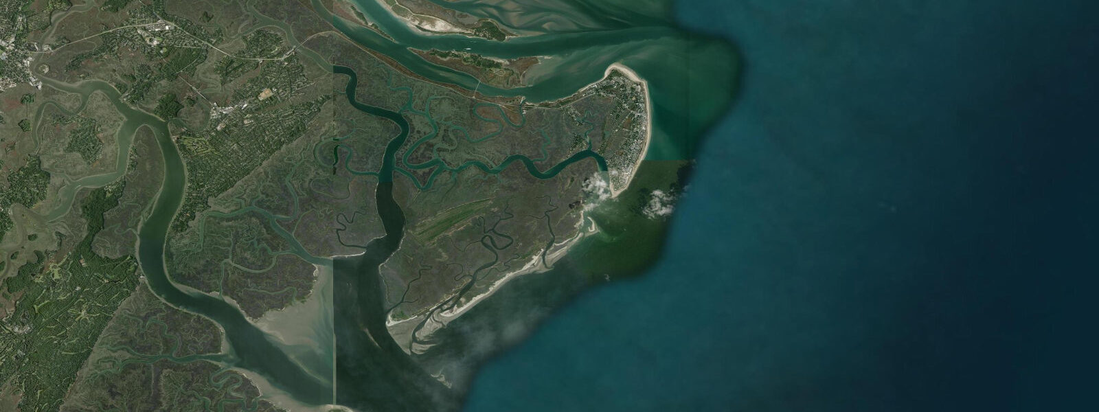
Tybee Island is the outermost of Georgia's barrier islands, 24 kilometres east of Savannah at the mouth of the Savannah River. The ocean-facing North Beach and the main South Beach front the Atlantic directly, without the protection of an outer barrier, making Tybee the point where the open ocean meets the tidal Georgia coast. Mean tidal range here is approximately 2.0 metres above MLLW — slightly less than the upriver Savannah station because some tidal energy has already dissipated in the estuary, but still one of the larger ranges on the US Atlantic seaboard. Spring tides reach 2.5 metres, exposing a wide intertidal zone across the beach face and extending the low-water shoreline 60 to 80 metres beyond the mean high-water line on the south end of the island.
Tybee Island Lighthouse, at the north end of the island beside the river mouth, stands 44 metres tall and was first lit in 1736 — making it one of the oldest light stations in the US. The current brick tower dates from 1867 reconstruction after Civil War damage. At low water spring tides, the broad tidal flat south of the lighthouse extending toward the North Beach inlet is largely exposed — a wide expanse of wet sand and shallow tidal pools popular with families hunting sand crabs and shell material. The flat drains fully in about two hours from the high-water mark; the incoming tide reclaims it quickly, and anyone walking far out should watch the rate of return.
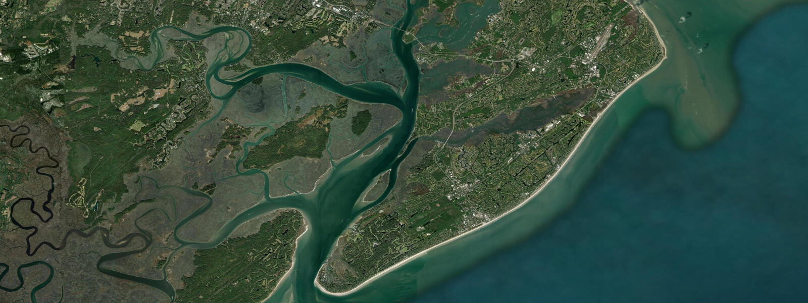
The south end of Tybee, where the main beach access, pier, and pavilion are concentrated, faces south and southwest toward Wassaw Sound. The pier at 16th Street extends 200 metres into the sound and is publicly accessible for fishing year-round. Spotted seatrout, red drum, whiting (southern kingfish), and sharks are the primary species from the pier; bait-soaking with live or cut shrimp is most productive on the incoming tide when the current through the sound runs northeast. At peak summer low tides, the beach south of the pier exposes a broad flat where hermit crabs, ghost crabs, and wading birds — mostly willets, sanderlings, and marbled godwits on migration — are easily observed from close range.
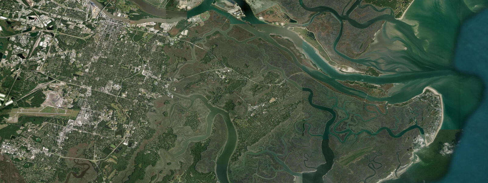
The Back River side of Tybee, along US 80 approaching the island, borders the tidal creeks and marshes of Little Tybee Island State Park — an uninhabited barrier accessible only by boat and the largest undeveloped barrier island on the Georgia coast. Kayakers launch from the Lazaretto Creek boat ramp and can access miles of cordgrass-lined tidal creek on either the flood or ebb. The Lazaretto Creek inlet runs 1.0 to 1.5 knots on spring tides; paddlers should plan returns with the current rather than against it.
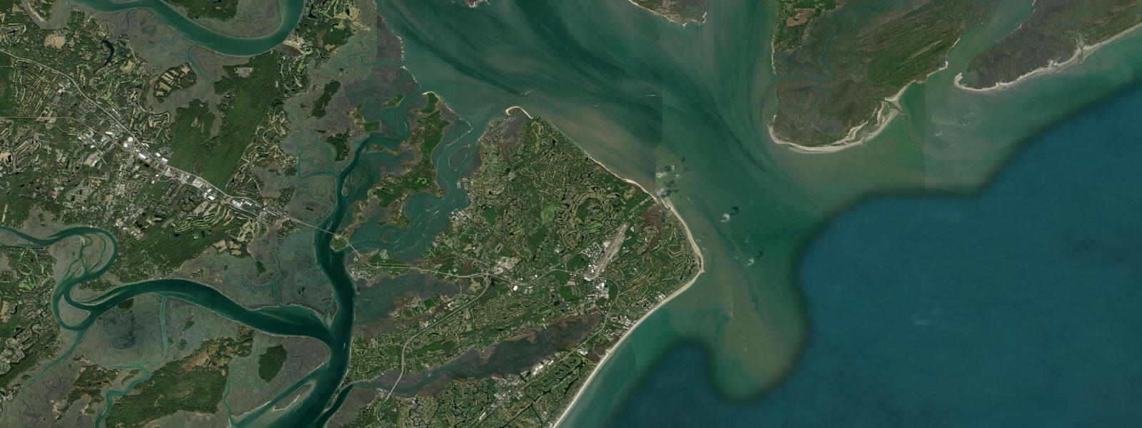
For surf fishing, the groin fields and the beach north of the pier at Tybee are productive for whiting, pompano, and bluefish in the surf line. The most consistent bite is the outgoing tide, roughly one hour before low water when fish move into the surf trough to feed in the concentrated baitfish that wash off the flats. Photographers working the Tybee lighthouse will find the best light in the morning from the beach side (northeast face), with a mid-range to low tide exposing the foreground tidal flat. Families with children have reliable shell-hunting ground on the lower flat after any spring low tide. Stand-up paddlers and recreational kayakers favor the back-bay route along the US 80 causeway marshes, which is sheltered from ocean swell.
Tide predictions on this page are from Open-Meteo Marine, a global gridded ocean model, with typical accuracy of plus or minus 45 minutes on timing and 0.2 to 0.3 metres on height. NOAA CO-OPS station 8670118 at Tybee Island is the authoritative gauge for this location, with calibrated harmonic predictions available at tidesandcurrents.noaa.gov.
Tide questions about Tybee Island, GA
Quick answers to the most common questions about tide times, range, and water access at Tybee Island, GA.
What is the tidal range at Tybee Island?
Mean tidal range at Tybee Island is approximately 2.0 metres above MLLW — two high and two low tides each day. Spring tides near new and full moon reach approximately 2.5 metres, exposing an intertidal flat extending 60 to 80 metres seaward of the mean high-water line on the south beach. Neap tides compress to roughly 1.3 metres. NOAA CO-OPS station 8670118 is the reference gauge for Tybee, maintained with continuous measurements and harmonic predictions.
When is the best time to see the tidal flat near Tybee Lighthouse?
The tidal flat south of Tybee Lighthouse on North Beach is most accessible in the two hours centred on low water — especially on spring tides, when the flat extends 60 to 80 metres beyond the mean tide line. The flat supports ghost crabs, hermit crabs, and wading shorebirds including willets and sanderlings. Be aware that the tide returns quickly: from the low-water mark, the incoming flood reclaims the flat within roughly two hours, and the pace of advance accelerates in the last 30 minutes. Keep an eye on the water edge when walking far out.
Is the Tybee Island Pier good for fishing?
Yes. The public pier at 16th Street extends 200 metres into Wassaw Sound and is open year-round for fishing. Spotted seatrout, red drum, whiting (southern kingfish), and sharks are the regular catch. The most productive tidal window is the first two hours of the incoming tide, when current flows northeast through the sound and concentrates baitfish around the pier structure. Live or cut shrimp on a Carolina rig is the standard approach. No licence is required to fish from the pier in Georgia — a pier fishing licence is included with the pier access fee.
Can I kayak around Little Tybee Island?
Little Tybee Island State Park (Georgia DNR) is an uninhabited barrier south of Tybee, accessible only by water. Most paddlers launch from the Lazaretto Creek boat ramp on the Back River side of Tybee Island and paddle the tidal creeks on the flood. The creek system is manageable on a calm day, but Lazaretto Creek Inlet runs 1.0 to 1.5 knots on spring tides — plan to return on the ebb rather than fight it. A full circumnavigation of Little Tybee in the open sound is an advanced trip requiring VHF radio and coastal paddling experience. Georgia requires a PFD onboard for all watercraft.
Is this tide data safe for navigating Wassaw Sound or the Savannah River entrance?
No. Open-Meteo Marine gridded predictions are not suitable for vessel navigation in Wassaw Sound, the Savannah River entrance channel, or the Intracoastal Waterway near Tybee. These waters have shoaling, strong tidal currents, and commercial vessel traffic. Use NOAA Chart 11512, NOAA CO-OPS tide predictions for Tybee Island (station 8670118), and the current predictions for the Savannah River approach. NOAA Coast Pilot Volume 4 covers the Georgia inlets. Always monitor VHF Channel 16 in these waters.
7-day tide table — Tybee Island, GA
Heights relative to MSL. Predictions: Open-Meteo Marine (MeteoFrance SMOC, 0.08° grid) — heights relative to MSL (not chart datum / LAT). Model-derived.
| Day | Type | Time | Height |
|---|---|---|---|
| Sun 21 Jun | High | 01:00 | 0.6m / 2.0ft |
| Low | 07:22 | -1.3m / -4.4ft | |
| High | 13:39 | 0.6m / 1.8ft | |
| Low | 19:57 | -1.2m / -4.0ft | |
| Mon 22 Jun | High | 01:53 | 0.4m / 1.4ft |
| Low | 08:15 | -1.4m / -4.6ft | |
| High | 14:27 | 0.5m / 1.6ft | |
| Low | 21:11 | -1.3m / -4.1ft | |
| Tue 23 Jun | High | 02:53 | 0.2m / 0.6ft |
| Low | 09:16 | -1.5m / -5.0ft | |
| High | 15:22 | 0.4m / 1.4ft | |
| Low | 21:51 | -1.3m / -4.2ft | |
| Wed 24 Jun | High | 03:44 | 0.2m / 0.6ft |
| Low | 09:58 | -1.3m / -4.3ft | |
| High | 16:27 | 0.6m / 2.0ft | |
| Low | 22:52 | -1.1m / -3.7ft | |
| Thu 25 Jun | High | 04:43 | 0.2m / 0.8ft |
| Low | 10:47 | -1.3m / -4.3ft | |
| High | 17:10 | 0.6m / 1.8ft | |
| Low | 23:45 | -1.2m / -4.0ft | |
| Fri 26 Jun | High | 05:27 | 0.2m / 0.5ft |
| Low | 11:35 | -1.3m / -4.4ft | |
| High | 17:54 | 0.6m / 1.9ft | |
| Sat 27 Jun | Low | 00:24 | -1.3m / -4.2ft |
| High | 06:15 | 0.1m / 0.4ft | |
| Low | 12:14 | -1.3m / -4.4ft | |
| High | 19:00 | 0.6m / 2.0ft |