Hilton Head Island, SC tide times
Hilton Head Island, SC tide forecast — heights relative to MSL.
Today's tide times for Hilton Head Island, SC
Tide times at Hilton Head Island, SC on Friday, 19 June 2026: first low tide at 05:48pm. Sunrise 06:16am, sunset 08:32pm.
Tide chart for Hilton Head Island, SC
24-hour cosine-interpolated curve around the present moment. Heights relative to MSL. Predictions: Predictions: Open-Meteo Marine (MeteoFrance SMOC, 0.08° grid).
Sun, moon and conditions on Fri 19 Jun
Snapshot at build time — refreshes daily. Sea state from Open-Meteo Marine.
Highs and lows next 7 days
Every predicted high and low for the next week, with the daily tidal coefficient (0–120; higher = bigger swing, > 95 means stronger currents).
Other spots nearby
The three closest curated TideTurtle locations to Hilton Head Island, SC, measured by great-circle distance.
Today's solunar windows
Solunar tradition: major periods are the ≈3h windows around moon transit and opposition; minor are ≈2h around moonrise and moonset. Pair with the local tide stage and wind for the best read.
Cycle dates near Hilton Head Island, SC
Next spring tide on Fri 19 Jun (range 2.1m / 6.8ft). Next neap on Mon 22 Jun.
Spring tides cluster around new and full moons (biggest swings). Neap tides land on quarter moons (smallest swings). See the spring tide and neap tide glossary entries for the why.
About tides at Hilton Head Island, SC
A short guide to the coastline at Hilton Head Island, SC — geography, sea state, and what the tide is actually doing under your feet.
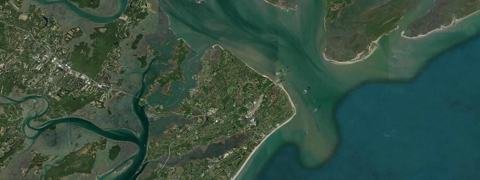
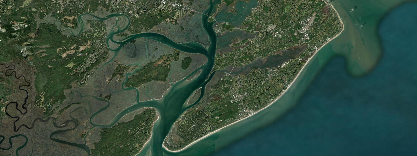
Hilton Head Island sits between Port Royal Sound and Calibogue Sound on the South Carolina Low Country coast, and its tidal regime is more dramatic than the Myrtle Beach shore to the north. Mean spring range at Hilton Head runs around 2.2 metres — the larger range is a consequence of the island's position between two major tidal inlets (Port Royal Sound to the north and Calibogue Sound to the south) that funnel Atlantic tidal energy into the extensive salt marsh network behind the island. The back-barrier marsh system visible from the causeways and bridges into the island depends entirely on this predictable twice-daily inundation.
The spring tidal range of 2.2 metres means the difference between a high-water beach at Coligny Park (where the public beach access is concentrated) and a low-water beach is substantial — an additional 30 to 60 metres of exposed sand on the ocean side, and the tidal creeks behind the island draining to knee-deep or lower at extreme lows. The firm intertidal zone at low water on the ocean beach is wide enough to be practical for jogging and ball games in addition to shell collecting.
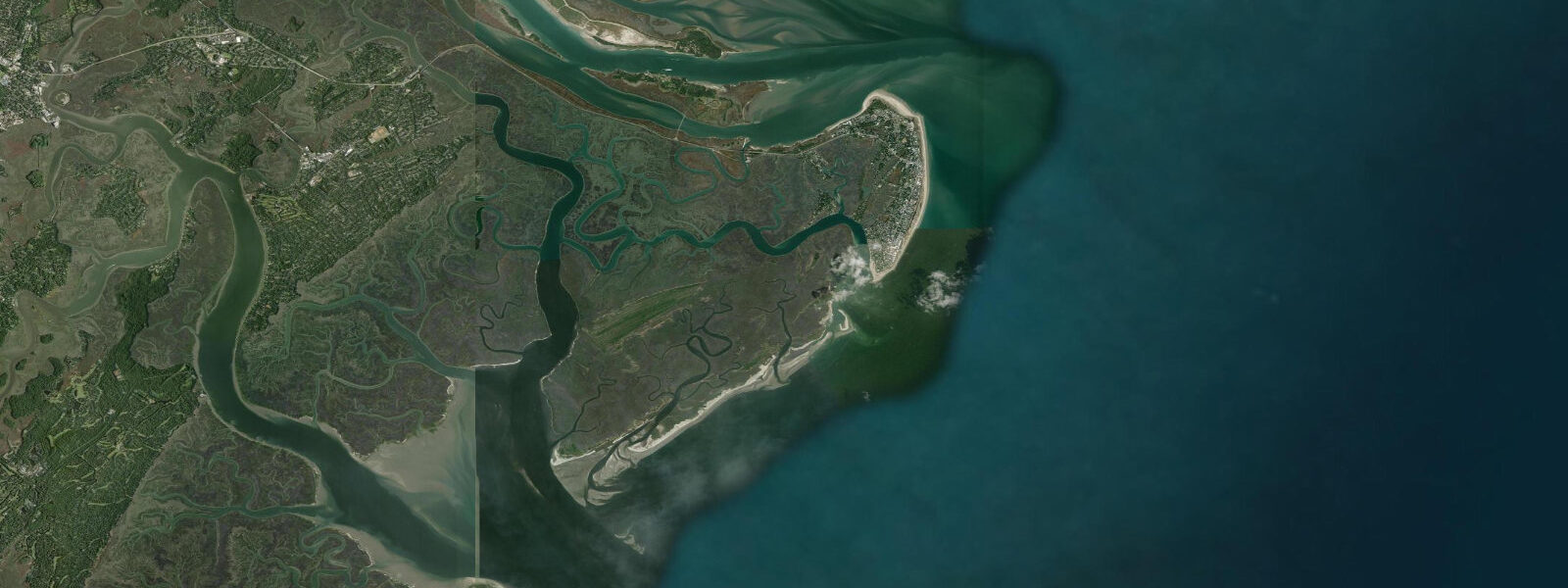
Sea Pines Plantation occupies the southern end of the island, and Harbour Town within it — with the distinctive red-and-white lighthouse, the marina, and the RBC Heritage golf tournament in April — is the public face of the Hilton Head resort industry. The Harbour Town Yacht Basin is a tidal marina: draft-limited access on the lower half of the tide, with the controlling depth in the channel running around 1.8 metres at mean low water. The RBC Heritage ties its gallery setup partly to the tidal creek edges.
The tidal creek system behind the island is one of the finest kayak environments on the East Coast. The Calibogue Sound flood brings warm nutrient-rich water into the marsh grass, and the grass flats that are exposed at low water and covered at high support redfish, flounder, and speckled trout. Guided kayak tours launch from multiple access points and time routes through the creeks to arrive at the deeper channels when the flood has raised the water sufficiently to float over the shallow grass. The 40-minute tidal creek window on the last hour of ebb — when the water drains across the flat grass revealing the sand beneath — is the best time to observe fiddler crabs, wading birds (great blue heron, tricoloured heron, roseate spoonbill in summer), and the occasional river otter.
Port Royal Sound to the north of the island is a wide, deep inlet with significant ship traffic — container ships and tankers navigate the Sound to the Port of Port Royal. The current in the Sound entrance at Page's Island runs to 3 knots on spring tides and the turbulent zone at the ebb front is a productive striped bass and bluefish location in autumn.
Loggerhead sea turtles nest on the Hilton Head ocean beaches from May through August. The Sea Turtle Patrol monitors nests, and beach visitors are asked not to use white lights or beach fires in nesting areas — turtle disorientation by artificial lights is a documented problem on developed barrier beaches.
Predictions on this page come from Open-Meteo Marine, a gridded global ocean model. Accuracy is typically within plus or minus 45 minutes on timing and 0.2 to 0.3 metres on height — model-derived, not from a local gauge. For authoritative US tide data, consult NOAA CO-OPS at tidesandcurrents.noaa.gov.
Tide questions about Hilton Head Island, SC
Quick answers to the most common questions about tide times, range, and water access at Hilton Head Island, SC.
When is low tide at Hilton Head Island?
The tide table on this page shows predicted times in Eastern Time. Hilton Head runs semidiurnal — two high and two low tides per day — with mean spring range around 2.2 metres. The NOAA CO-OPS reference gauge for this area is at Hilton Head (station 8659084); the times shown on this page are Open-Meteo Marine estimates and may differ slightly. Low tide is the best time for tidal creek kayaking and shell collecting on the ocean beach foreshore.
Can I kayak the tidal creeks at Hilton Head?
Yes — the back-barrier salt marsh system behind Hilton Head is one of the premier kayak environments on the US East Coast. The 2.2-metre spring tidal range floods the marsh twice daily, creating a dynamic network of navigable channels and grass flats. Guided tours are widely available and recommended for first-time visitors — knowing which creeks have sufficient depth at which tidal state is local knowledge that takes several tides to learn. Launching 2 hours before high water and returning 1.5 hours after high is a typical beginner-friendly window that keeps paddlers off the drying flats.
What is the tidal range at Hilton Head compared to Charleston?
Hilton Head's mean spring range of approximately 2.2 metres is somewhat larger than at downtown Charleston (around 1.7 metres mean spring). The difference is partly geometric: Hilton Head sits between Port Royal Sound and Calibogue Sound, two large tidal inlets that amplify the tidal wave slightly compared to the Charleston harbour entrance configuration. Both are semidiurnal environments with the same twice-daily rhythm, but the larger Hilton Head range means more marsh exposure and stronger tidal creek currents.
Where can I fish on the tidal creeks?
Redfish (red drum) and speckled trout (spotted seatrout) are the primary targets in the Hilton Head tidal creeks. The most productive window is the first two hours of incoming tide as fish move from the deeper tidal channels onto the warming grass flat edges. Flounder concentrate near tidal creek mouths and channel bends on the outgoing tide. Access is easiest from the marinas along Broad Creek, Spanish Wells Marina, or the Port Royal Sound boat ramps. Fishing licenses are required; regulations on redfish slot limits and seatrout vary seasonally — check SC DNR.
Is Harbour Town Marina accessible at all tidal states?
No. Harbour Town Yacht Basin and the approaches through Calibogue Sound have a controlling depth of approximately 1.8 metres MLLW in the main channel — vessels drawing more than 1.2 metres should consult current chart data and time arrival for mid-tide or above. The marina basin itself is deeper, but the outer approach channel shoals. NOAA Chart 11516 covers the Calibogue Sound approaches. The Harbour Town Marina staff can advise on current depth conditions for visiting vessels.
7-day tide table — Hilton Head Island, SC
Heights relative to MSL. Predictions: Open-Meteo Marine (MeteoFrance SMOC, 0.08° grid) — heights relative to MSL (not chart datum / LAT). Model-derived.
| Day | Type | Time | Height |
|---|---|---|---|
| Fri 19 Jun | Low | 17:48 | -1.7m / -5.7ft |
| Sat 20 Jun | High | 00:07 | 0.5m / 1.6ft |
| Low | 06:23 | -1.6m / -5.3ft | |
| High | 12:49 | 0.5m / 1.6ft | |
| Low | 18:56 | -1.3m / -4.1ft | |
| Sun 21 Jun | High | 01:06 | 0.6m / 2.0ft |
| Low | 07:22 | -1.4m / -4.5ft | |
| High | 13:35 | 0.5m / 1.7ft | |
| Low | 19:54 | -1.2m / -3.9ft | |
| Mon 22 Jun | High | 01:56 | 0.4m / 1.3ft |
| Low | 08:22 | -1.4m / -4.7ft | |
| High | 14:35 | 0.4m / 1.5ft | |
| Low | 21:00 | -1.3m / -4.1ft | |
| Tue 23 Jun | High | 02:45 | 0.2m / 0.5ft |
| Low | 09:10 | -1.5m / -4.9ft | |
| High | 15:24 | 0.4m / 1.2ft | |
| Low | 21:51 | -1.3m / -4.2ft | |
| Wed 24 Jun | High | 03:45 | 0.2m / 0.7ft |
| Low | 10:00 | -1.3m / -4.2ft | |
| High | 16:18 | 0.6m / 2.0ft | |
| Low | 22:50 | -1.1m / -3.5ft | |
| Thu 25 Jun | High | 04:36 | 0.3m / 1.0ft |
| Low | 10:54 | -1.2m / -4.0ft | |
| High | 17:09 | 0.7m / 2.1ft | |
| Low | 19:00 | 0.3m / 1.0ft |