Gulf Shores, AL tide times
Gulf Shores, AL tide forecast — heights relative to MSL.
Today's tide times for Gulf Shores, AL
Tide times at Gulf Shores, AL on Sunday, 21 June 2026: first low tide at 08:50pm. Sunrise 05:49am, sunset 07:55pm.
Tide chart for Gulf Shores, AL
24-hour cosine-interpolated curve around the present moment. Heights relative to MSL. Predictions: Predictions: Open-Meteo Marine (MeteoFrance SMOC, 0.08° grid).
Sun, moon and conditions on Sun 21 Jun
Snapshot at build time — refreshes daily. Sea state from Open-Meteo Marine.
Highs and lows next 7 days
Every predicted high and low for the next week, with the daily tidal coefficient (0–120; higher = bigger swing, > 95 means stronger currents).
Other spots nearby
The three closest curated TideTurtle locations to Gulf Shores, AL, measured by great-circle distance.
Today's solunar windows
Solunar tradition: major periods are the ≈3h windows around moon transit and opposition; minor are ≈2h around moonrise and moonset. Pair with the local tide stage and wind for the best read.
About tides at Gulf Shores, AL
A short guide to the coastline at Gulf Shores, AL — geography, sea state, and what the tide is actually doing under your feet.
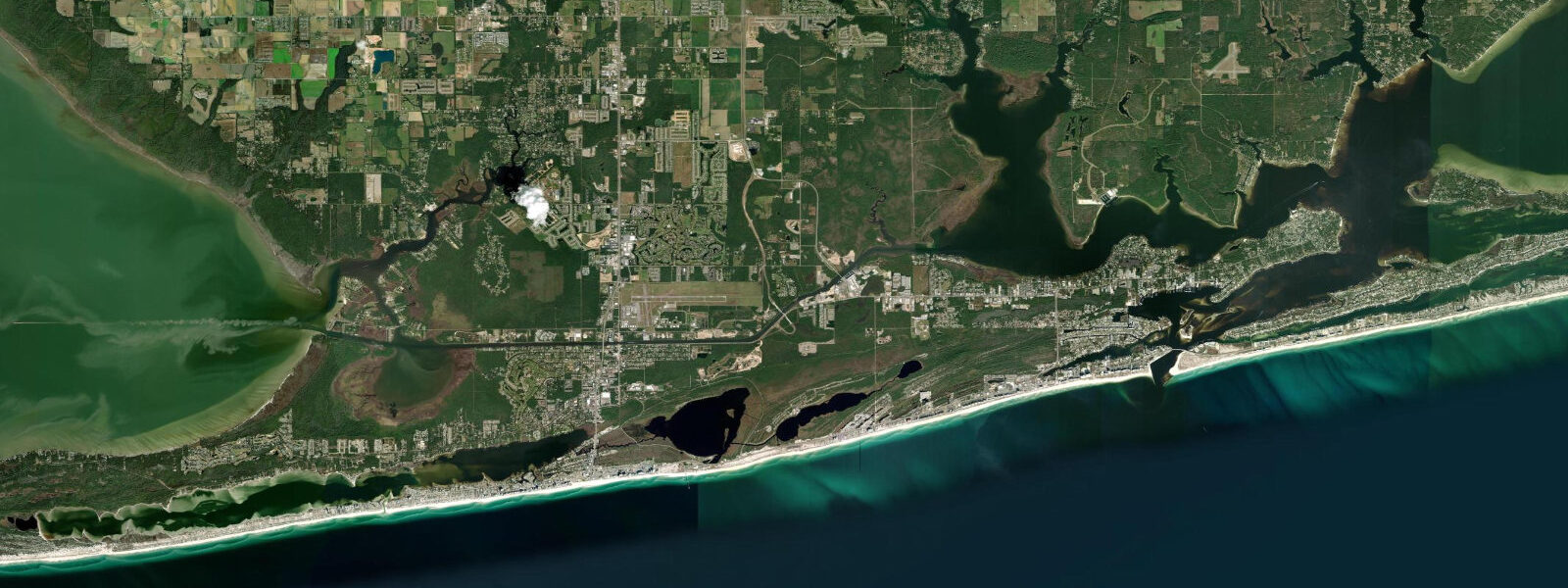
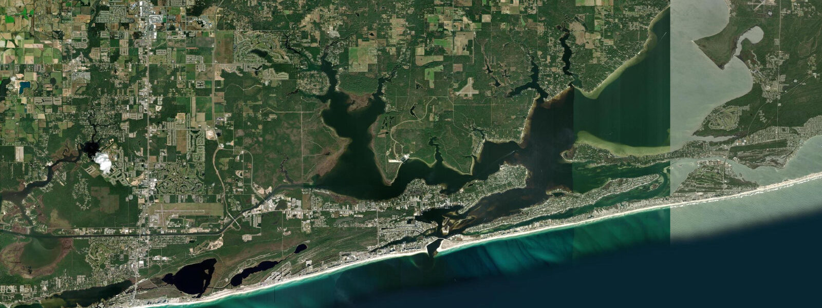
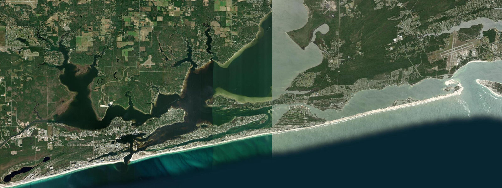
Gulf Shores occupies the western end of Alabama's Pleasure Island barrier, a narrow sand spit separating the Gulf of Mexico from the shallow back-bay system of Little Lagoon and the approach to Mobile Bay. The tidal regime here is diurnal: on most days there is one notable high and one notable low per 24-hour period, rather than the two-per-day semidiurnal pattern of the US Atlantic coast. Mean tidal range is approximately 0.4 to 0.5 metres above MLLW — one of the smallest tidal ranges in the contiguous US. The reason lies in the geometry of the Gulf of Mexico basin: the Gulf's resonant tidal frequencies align more closely with the diurnal (once-daily) components of the gravitational forcing than with the semidiurnal (twice-daily) components, producing a dominantly diurnal signal with a very small total range.
The practical consequence for beach users is that the tide changes slowly and the exposed intertidal zone is narrow. The difference between the high-water line and the low-water line at Gulf Shores is typically only 30 to 50 centimetres vertically, and the horizontal distance between them on the gently sloping beach face is rarely more than 15 to 20 metres. Gulf Shores' beach character is dominated by wave energy and longshore drift far more than by tidal state — it is wave height and period that determines whether swimming conditions are safe, not whether the tide is in or out.
Gulf State Park anchors the east end of the Gulf Shores beachfront, with 9.5 kilometres of protected Gulf-facing beach. The park pier, at 540 metres one of the longest fishing piers on the Gulf Coast, extends into the Gulf and offers access to pompano, Spanish mackerel, cobia, and redfish that move through the nearshore waters on seasonal migrations. The most productive pier fishing typically coincides with the incoming tidal phase — even the modest Gulf tide produces a detectable current past the pier pilings that concentrates baitfish and predators. King mackerel are common under the pier in late summer and autumn.
West Beach Boulevard and the Gulf Avenue beach access points provide the public beach access closest to Gulf Shores town centre. The beach here faces due south into the Gulf and receives swell from tropical systems and Gulf weather patterns — short-period chop in summer storms, longer-period swells from distant Gulf hurricanes in late summer and autumn. Local surf breaks do not achieve the scale of Atlantic or Pacific breaks, but rideable beach-break waves exist during the storm swell windows. The sand bottom and negligible tidal variation make conditions consistent and accessible for beginners.
Little Lagoon, behind the barrier on the north side of the highway, is a brackish back-bay system with water temperatures several degrees warmer than the Gulf in summer. The lagoon exchanges tidal water through a small inlet at the western end; the tidal range inside is even smaller than the Gulf shore, sometimes 10 to 15 centimetres. Kayaking and paddleboarding on Little Lagoon is sheltered from Gulf chop and suitable for beginners and families. Redfish (red drum) stage in the lagoon's grass flats in late summer, hunted by fly anglers wading the shallow edges at dawn on the outgoing tidal phase. Photographers working the Gulf Shores beach will find reliable golden-hour access at sunrise, with east-facing dune faces catching early light; low tide in the morning hours exposes the widest foreground sand.
Tide predictions on this page are from Open-Meteo Marine, a global gridded ocean model, with typical accuracy of plus or minus 45 minutes on timing and 0.2 to 0.3 metres on height — note that the small absolute tidal range on this coast means even a 0.2 m model error represents a large fraction of the total range. For authoritative Gulf of Mexico tidal data, NOAA CO-OPS station 8735180 (Dauphin Island, 25 km west) is the closest active reference gauge.
Tide questions about Gulf Shores, AL
Quick answers to the most common questions about tide times, range, and water access at Gulf Shores, AL.
What type of tides does Gulf Shores have?
Gulf Shores has diurnal tides — typically one high and one low per day, driven by the Gulf of Mexico's basin resonance with the once-daily (diurnal) components of the lunar and solar gravitational forces. Mean tidal range is approximately 0.4 to 0.5 metres above MLLW, one of the smallest in the contiguous US. On some days near the equinoxes, a weak second tidal cycle appears (mixed diurnal), but the single-cycle pattern dominates through most of the year. The closest NOAA reference station is Dauphin Island (station 8735180), about 25 kilometres west.
Is the beach wider at low tide in Gulf Shores?
Only slightly. The difference between high and low tide at Gulf Shores is typically 0.4 to 0.5 metres vertically, which translates to roughly 15 to 20 metres of horizontal beach width on the gently sloping Gulf Shores foreshore. This is much less dramatic than the 60 to 80 metre exposure you'd see on a high-range Atlantic beach at the same conditions. Wave energy and storm swell have a much larger effect on beach width than tidal state here. For the widest beach, low tide in calm conditions after a quiescent weather pattern is the best combination.
What fish can I catch from the Gulf State Park Pier?
Gulf State Park Pier (540 metres long) produces pompano, whiting (southern kingfish), Spanish mackerel, cobia, and redfish throughout the warmer months. King mackerel appear under the pier from August through October. The most productive window is generally the incoming tidal phase — the weak Gulf tide still produces enough current past the pilings to concentrate baitfish, and predators key on those edges. Live sand fleas (mole crabs) on a pompano rig are the standard approach for pompano; cut mullet on the bottom for redfish and cobia. A saltwater fishing licence is required in Alabama for all anglers 16 and older.
Is Gulf Shores good for kayaking and paddleboarding?
Gulf Shores offers several paddling environments. The Gulf beach itself is suitable for paddleboarding in calm summer conditions — low wave energy and negligible tidal current make it accessible for beginners. Little Lagoon, behind the barrier on the north side of the highway, is the sheltered alternative: warm, flat water, suitable for all skill levels, with grass flats holding redfish and speckled trout. The lagoon connects to the Gulf through a small tidal inlet; the exchange current is minimal (centimetres of range inside). Rental operations on the beach and the lagoon run April through October.
Is this tide data reliable for planning water activities at Gulf Shores?
Open-Meteo Marine provides a useful general indication of high and low tide timing at Gulf Shores, but the very small tidal range (0.4 to 0.5 m) means that even the model's typical error margin of 0.2 to 0.3 metres represents a significant fraction of the total tidal variation. For precise tidal timing, NOAA CO-OPS station 8735180 (Dauphin Island) is the authoritative reference for this coast. More importantly, Gulf Shores water safety is determined primarily by wave conditions and rip currents, not tidal state — check the National Weather Service marine forecast and beach flag status at the city's beach safety page before any Gulf swim or paddle.
7-day tide table — Gulf Shores, AL
Heights relative to MSL. Predictions: Open-Meteo Marine (MeteoFrance SMOC, 0.08° grid) — heights relative to MSL (not chart datum / LAT). Model-derived.
| Day | Type | Time | Height |
|---|---|---|---|
| Sun 21 Jun | Low | 20:50 | -0.1m / -0.4ft |
| Mon 22 Jun | — | ||
| Tue 23 Jun | — | ||
| Wed 24 Jun | High | 05:10 | 0.0m / 0.1ft |
| Thu 25 Jun | — | ||
| Fri 26 Jun | Low | 17:00 | -0.4m / -1.3ft |
| Sat 27 Jun | High | 06:50 | 0.1m / 0.4ft |