Orange Beach, AL tide times
Orange Beach, AL tide forecast — heights relative to MSL.
Today's tide times for Orange Beach, AL
Tide times at Orange Beach, AL on Sunday, 21 June 2026: first low tide at 02:10pm. Sunrise 05:49am, sunset 07:55pm.
Tide chart for Orange Beach, AL
24-hour cosine-interpolated curve around the present moment. Heights relative to MSL. Predictions: Predictions: Open-Meteo Marine (MeteoFrance SMOC, 0.08° grid).
Sun, moon and conditions on Sun 21 Jun
Snapshot at build time — refreshes daily. Sea state from Open-Meteo Marine.
Highs and lows next 7 days
Every predicted high and low for the next week, with the daily tidal coefficient (0–120; higher = bigger swing, > 95 means stronger currents).
Other spots nearby
The three closest curated TideTurtle locations to Orange Beach, AL, measured by great-circle distance.
Today's solunar windows
Solunar tradition: major periods are the ≈3h windows around moon transit and opposition; minor are ≈2h around moonrise and moonset. Pair with the local tide stage and wind for the best read.
About tides at Orange Beach, AL
A short guide to the coastline at Orange Beach, AL — geography, sea state, and what the tide is actually doing under your feet.
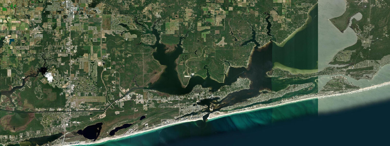
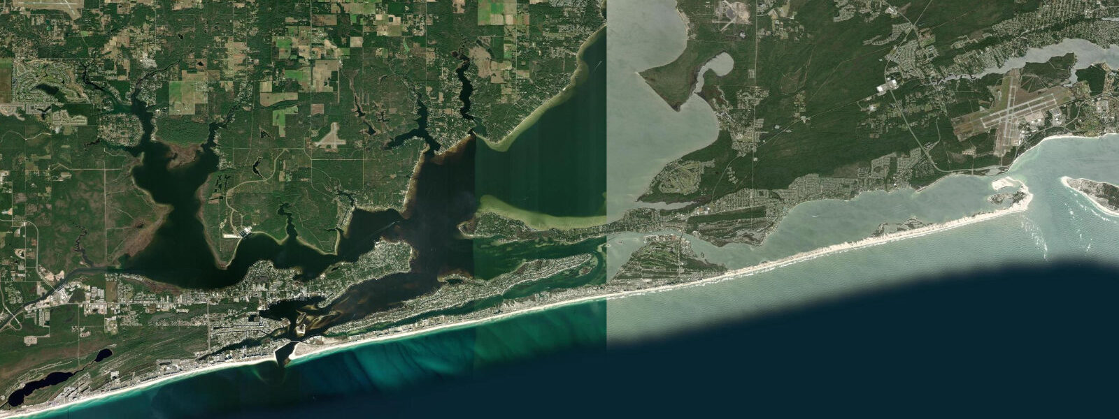
Orange Beach occupies the eastern section of Alabama's Pleasure Island barrier, where the Gulf-facing shore transitions from the open beach of Gulf Shores toward the Perdido Pass inlet — the tidal cut connecting the Gulf of Mexico to Perdido Bay and the back-bay system on the Florida state line. The tidal regime is the same diurnal Gulf pattern as the rest of the Alabama coast: one high and one low per day, mean range 0.4 to 0.5 metres above MLLW. At Perdido Pass specifically, that small tidal prism is compressed through a 60-metre-wide inlet, producing tidal currents of 1.5 to 2.5 knots on spring tides — among the strongest currents on the Alabama coast, in a passage that marks the state line between Alabama and Florida.
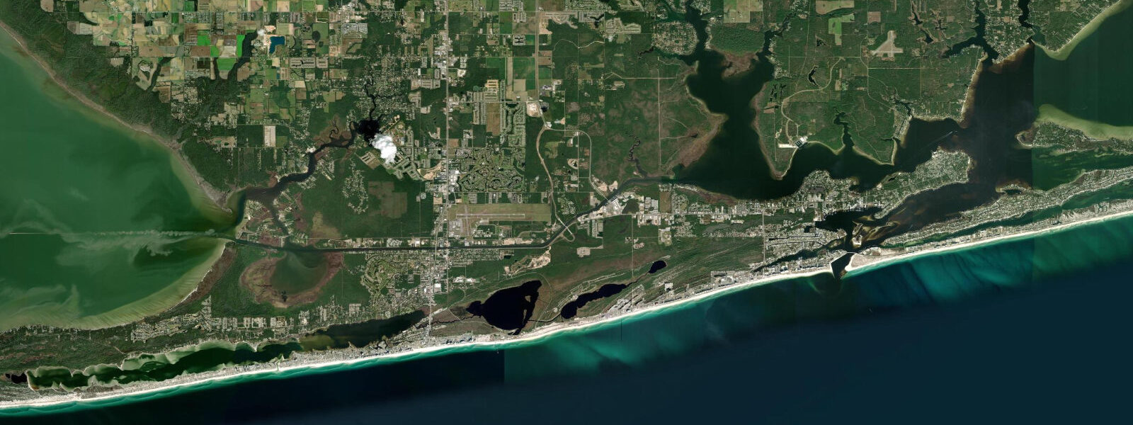
Perdido Pass is the dominant feature of Orange Beach's coastal geography. The inlet cuts through the barrier island just east of the Orange Beach town centre, and the Alabama Point East and West parks bracket both sides of the pass on the Gulf shore. From the rocks on the jetty and the sandy points flanking the inlet, the tidal current in the pass is visible as a fast-moving surface race — the water level on the Gulf side and the bay side differs by a few centimetres during peak tidal flow, and the current surface texture makes it obvious which direction the tide is running. The pass is the primary fish funnel for the back-bay system: as the ebb drains the bay, baitfish are pushed through the pass into the Gulf, and predators — cobia, jack crevalle, ladyfish, and occasional tarpon in summer — stage in the inlet to intercept them.
The jetty rocks at Alabama Point are the most productive shore-casting position on the Alabama coast. Anglers time sessions to the outgoing tide, typically from one hour before the predicted low until low water, when baitfish concentration in the throat of the pass is highest. Pompano and redfish work the inside edge of the pass on the incoming tide. The jetty rocks are accessible on foot along the Alabama Point East parking area, though wet conditions and wave wash make footing uncertain during south winds. Boat anglers staging at the Zeke's Landing Marina and the Orange Beach Marina on the bay side use Perdido Pass as the primary offshore route to Gulf blue-water fishing.
The Gulf-facing beaches of Orange Beach run east from the pass for roughly 4 kilometres before reaching the Florida state line at Perdido Key. Orange Beach's beaches face south-southeast and receive similar Gulf swell exposure to Gulf Shores — short-period chop in summer, longer-period storm swell from late-season tropical systems. The surf is almost always smaller than Atlantic or Pacific comparators; the narrow tidal range means the beach width changes little through the tidal cycle, and wave conditions rather than tidal state are the primary safety consideration for swimmers.
The back-bay and Perdido Bay side of Orange Beach is extensive and ecologically diverse. Wolf Bay, Portage Creek, and the tidal creeks feeding into the upper Perdido Bay system hold oyster reefs, seagrass beds, and grass flats that support the largest speckled trout and redfish populations on the Alabama coast. Kayak anglers launching from the Cotton Bayou boat ramp can access miles of tidal grass flat; the incoming tide, when fish spread onto the flats to feed in the shallow warming water, is the most productive window. Families and beginners use the sheltered bay-side shorelines and marinas; water skiing and tubing are common in the wider bay sections.
Predictions here come from Open-Meteo Marine, a global gridded ocean model, accurate to plus or minus 45 minutes on timing and 0.2 to 0.3 metres on height. Given the small absolute range of Gulf Coast tides, the model's error margin is proportionally large — treat times as approximate guidance. For authoritative tide data, NOAA CO-OPS station 8735180 (Dauphin Island) is the closest active Gulf gauge; Florida Water Management District also maintains gauges near Perdido Key.
Tide questions about Orange Beach, AL
Quick answers to the most common questions about tide times, range, and water access at Orange Beach, AL.
What is the tidal range at Orange Beach, AL?
Orange Beach has diurnal tides — one high and one low per day — with a mean range of approximately 0.4 to 0.5 metres above MLLW. This is one of the smallest tidal ranges in the contiguous US, characteristic of the northern Gulf of Mexico coast. The exception is at Perdido Pass, where the tidal prism of the back-bay system is funnelled through a narrow 60-metre inlet, producing surface currents of 1.5 to 2.5 knots even though the absolute range in the bay is only 30 to 40 centimetres. The nearest NOAA reference station is Dauphin Island (station 8735180).
When is the best time to fish Perdido Pass?
The outgoing tide — approximately one hour before the predicted low tide to the low itself — is the most consistent productive window at Perdido Pass jetty. As the bay drains through the pass, baitfish concentrate in the throat of the inlet and predators stage in the current seam. Cobia, jack crevalle, and occasional tarpon are the summer targets; redfish and pompano on the inside edge of the pass on the flood. Casting from the Alabama Point East jetty rocks positions you at the current seam on the Gulf side. Bring a landing net — the rocks are 1 to 2 metres above the water surface at the Alabama Point jetties.
Is Perdido Pass safe for kayakers and swimmers?
Perdido Pass is not recommended for swimming or recreational kayaking in the main channel. Tidal current in the inlet reaches 1.5 to 2.5 knots on spring tides — fast enough to pull a swimmer off course and create significant hazards near the jetty rocks. Boat traffic transiting the pass to offshore waters adds a collision risk. The bay-side creeks and Cotton Bayou are safe alternatives for kayak and SUP paddling. Swimmers should use the Gulf-side beaches away from the pass mouth — the 200 to 300 metres of beach flanking the inlet jetties experience current-influenced conditions that lifeguards typically flag.
What is the best kayak fishing access on Orange Beach?
Cotton Bayou boat ramp off Bayou Street is the standard kayak launch for the back-bay grass flats. From there, paddlers can access Wolf Bay, the upper Perdido Bay grass flats, and the tidal creek systems on the Florida side of the bay. The incoming tide is most productive: as water rises onto the shallow grass flats, redfish and speckled trout spread out from the deeper channel edges to feed. Mornings on a flooding tide in late summer and autumn are the peak window. The bay is sheltered from Gulf swell; paddling conditions are determined by wind, not wave energy.
Is this tide data safe for navigating Perdido Pass or offshore waters?
No. Open-Meteo Marine gridded model predictions are not a substitute for NOAA harmonic tide data or inlet-specific current information. Perdido Pass has shoaling at the bar on the Gulf side and strong currents through the throat — conditions that require knowledge of the current tide state and sea conditions for safe transit. Consult NOAA Chart 11378 and the tidal current guidance for Perdido Pass. Offshore fishing vessels should file a float plan, monitor VHF Channel 16, and consult the National Weather Service Gulf of Mexico marine forecast before transiting the pass.
7-day tide table — Orange Beach, AL
Heights relative to MSL. Predictions: Open-Meteo Marine (MeteoFrance SMOC, 0.08° grid) — heights relative to MSL (not chart datum / LAT). Model-derived.
| Day | Type | Time | Height |
|---|---|---|---|
| Sun 21 Jun | Low | 14:10 | -0.1m / -0.4ft |
| Mon 22 Jun | High | 04:00 | -0.0m / -0.1ft |
| Tue 23 Jun | — | ||
| Wed 24 Jun | — | ||
| Thu 25 Jun | — | ||
| Fri 26 Jun | Low | 17:10 | -0.4m / -1.3ft |
| Sat 27 Jun | High | 07:00 | 0.1m / 0.3ft |