Whitby, Yorkshire tide times
Whitby, Yorkshire tide forecast — heights relative to MSL.
Today's tide times for Whitby, Yorkshire
Tide times at Whitby, Yorkshire on Sunday, 26 July 2026: first high tide at 01:51, first low tide at 08:21. Sunrise 05:01, sunset 21:15.
Tide chart for Whitby, Yorkshire
24-hour cosine-interpolated curve around the present moment. Heights relative to MSL. Predictions: Predictions: Open-Meteo Marine (MeteoFrance SMOC, 0.08° grid).
Sun, moon and conditions on Sun 26 Jul
Snapshot at build time — refreshes daily. Sea state from Open-Meteo Marine.
Highs and lows next 7 days
Every predicted high and low for the next week, with the daily tidal coefficient (0–120; higher = bigger swing, > 95 means stronger currents).
Other spots nearby
The three closest curated TideTurtle locations to Whitby, Yorkshire, measured by great-circle distance.
Today's solunar windows
Solunar tradition: major periods are the ≈3h windows around moon transit and opposition; minor are ≈2h around moonrise and moonset. Pair with the local tide stage and wind for the best read.
Cycle dates near Whitby, Yorkshire
Next spring tide on Sat 01 Aug (range 4.4m / 14.5ft). Last neap on Sun 26 Jul.
Spring tides cluster around new and full moons (biggest swings). Neap tides land on quarter moons (smallest swings). See the spring tide and neap tide glossary entries for the why.
About tides at Whitby, Yorkshire
A short guide to the coastline at Whitby, Yorkshire — geography, sea state, and what the tide is actually doing under your feet.
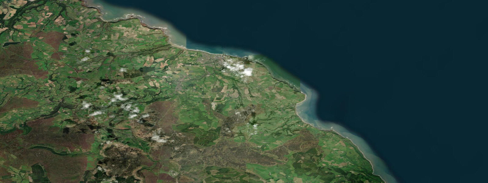
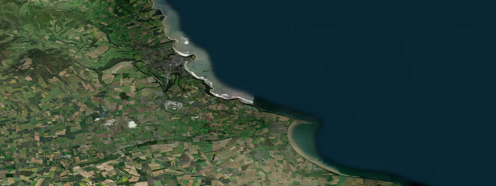
Whitby sits on the North Yorkshire coast where the River Esk cuts a narrow harbour between two cliffs, the eastern one topped by the ruined abbey that draws the photographs. The tide here runs the classic North Sea signature: cleanly semidiurnal, two highs and two lows of comparable size each day, twelve and a half hours apart. 4 on neaps.
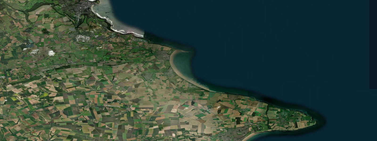
The harbour itself dries to a thin channel near the bottom of every spring low, and small-boat owners moor on the foreshore knowing they will sit on the mud for several hours each cycle. The wide sand at Whitby Sands and the rocky shelf round to Saltwick Bay are tide-dependent: the beach at the foot of the abbey steps widens by 30 metres on the low and reshapes daily. Tide pooling at Saltwick Nab opens up at the lower spring tides of the month, and fossil-hunters on the Jurassic Coast between Whitby and Robin Hood's Bay time their walks for the bottom of the cycle.
Predictions on this page come from Open-Meteo's gridded marine model — useful for daily planning but not navigation-grade. UK Hydrographic Office Admiralty TotalTide is the authoritative British tide product.
Tide questions about Whitby, Yorkshire
Quick answers to the most common questions about tide times, range, and water access at Whitby, Yorkshire.
When is the next high tide at Whitby?
The hero block shows the next high tide at the harbour mouth in local UK time. The 7-day table covers all four daily extremes. High water at Whitby Bridge inside the inner harbour lags the harbour mouth by about 15 minutes; the swing is the same.
What's the typical tide range at Whitby?
Mean range at Whitby is about 4.2 metres, with spring tides pushing toward 5 metres and neaps near 2.4. The North Yorkshire coast runs a moderately large semidiurnal signal, smaller than the Bristol Channel approaches in the south-west but larger than the East Anglian coast further south on the same North Sea shore.
Where do these tide predictions come from?
Open-Meteo's marine model, gridded at roughly 0.08° resolution, produces the predictions on this page. That is general-planning data, not navigation-grade. UK Hydrographic Office Admiralty TotalTide is the authoritative product for British tide tables and provides harmonic predictions calibrated against decades of measured gauge data at Whitby and the wider Yorkshire coast.
When does the foreshore open up for fossil-hunting at Saltwick?
Saltwick Nab and the Jurassic shelf between Whitby and Robin Hood's Bay open up best on the lowest spring tides of the month, around new and full moons. The 7-day table on this page flags each day's lowest predicted tide. Walk back well before the flood reaches the cliff base; the rate of rise on the Yorkshire coast is fast and the cliffs are unscaleable.
Is this safe to use for navigation?
No. For piloting in or out of Whitby Harbour, transiting the swing bridge, or working the moorings on the foreshore use UKHO's authoritative tide tables, the latest Notices to Mariners, and Whitby Harbour's own published guidance. The bar at the harbour mouth is a real hazard in onshore swell at low water.
8-day tide table — Whitby, Yorkshire
Heights relative to MSL. Predictions: Open-Meteo Marine (MeteoFrance SMOC, 0.08° grid) — heights relative to MSL (not chart datum / LAT). Model-derived.
| Day | Type | Time | Height |
|---|---|---|---|
| Sun 26 Jul | High | 01:51 | 1.0m / 3.2ft |
| Low | 08:21 | -1.4m / -4.7ft | |
| Mon 27 Jul | High | 02:46 | 1.1m / 3.7ft |
| Low | 09:14 | -1.7m / -5.7ft | |
| Tue 28 Jul | High | 03:35 | 1.2m / 3.9ft |
| Low | 09:57 | -2.0m / -6.4ft | |
| High | 16:00 | 1.1m / 3.6ft | |
| Low | 22:04 | -1.8m / -6.0ft | |
| Wed 29 Jul | High | 04:08 | 1.5m / 4.9ft |
| Low | 10:33 | -2.2m / -7.1ft | |
| High | 16:37 | 1.3m / 4.1ft | |
| Low | 22:40 | -1.9m / -6.2ft | |
| Thu 30 Jul | High | 04:43 | 1.6m / 5.4ft |
| Low | 11:08 | -2.4m / -7.8ft | |
| High | 17:12 | 1.3m / 4.4ft | |
| Low | 23:14 | -2.0m / -6.7ft | |
| Fri 31 Jul | High | 05:16 | 1.7m / 5.7ft |
| Low | 11:42 | -2.5m / -8.2ft | |
| High | 17:45 | 1.4m / 4.4ft | |
| Low | 23:46 | -2.2m / -7.1ft | |
| Sat 01 Aug | High | 05:48 | 1.8m / 5.8ft |
| Low | 12:14 | -2.7m / -8.7ft | |
| High | 18:18 | 1.3m / 4.4ft | |
| Sun 02 Aug | Low | 00:00 | -2.2m / -7.2ft |