Cleethorpes tide times
Cleethorpes tide forecast — heights relative to MSL.
Today's tide times for Cleethorpes
Tide times at Cleethorpes on Sunday, 21 June 2026: first high tide at 01:00, first low tide at 04:17, second high tide at 10:16, second low tide at 16:56, third high tide at 23:09. Sunrise 04:30, sunset 21:33.
Tide chart for Cleethorpes
24-hour cosine-interpolated curve around the present moment. Heights relative to MSL. Predictions: Predictions: Open-Meteo Marine (MeteoFrance SMOC, 0.08° grid).
Sun, moon and conditions on Sun 21 Jun
Snapshot at build time — refreshes daily. Sea state from Open-Meteo Marine.
Highs and lows next 7 days
Every predicted high and low for the next week, with the daily tidal coefficient (0–120; higher = bigger swing, > 95 means stronger currents).
Other spots nearby
The three closest curated TideTurtle locations to Cleethorpes, measured by great-circle distance.
Today's solunar windows
Solunar tradition: major periods are the ≈3h windows around moon transit and opposition; minor are ≈2h around moonrise and moonset. Pair with the local tide stage and wind for the best read.
Cycle dates near Cleethorpes
Last spring tide on Sun 21 Jun (range 4.8m / 15.7ft). Next spring tide on Sat 27 Jun (range 3.5m / 11.5ft). Next neap on Thu 25 Jun.
Spring tides cluster around new and full moons (biggest swings). Neap tides land on quarter moons (smallest swings). See the spring tide and neap tide glossary entries for the why.
About tides at Cleethorpes
A short guide to the coastline at Cleethorpes — geography, sea state, and what the tide is actually doing under your feet.
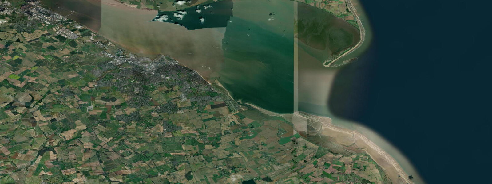
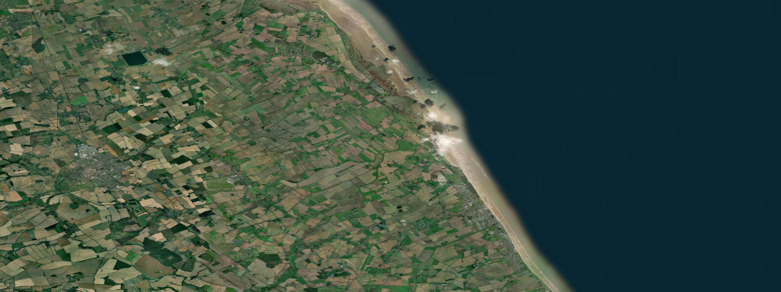
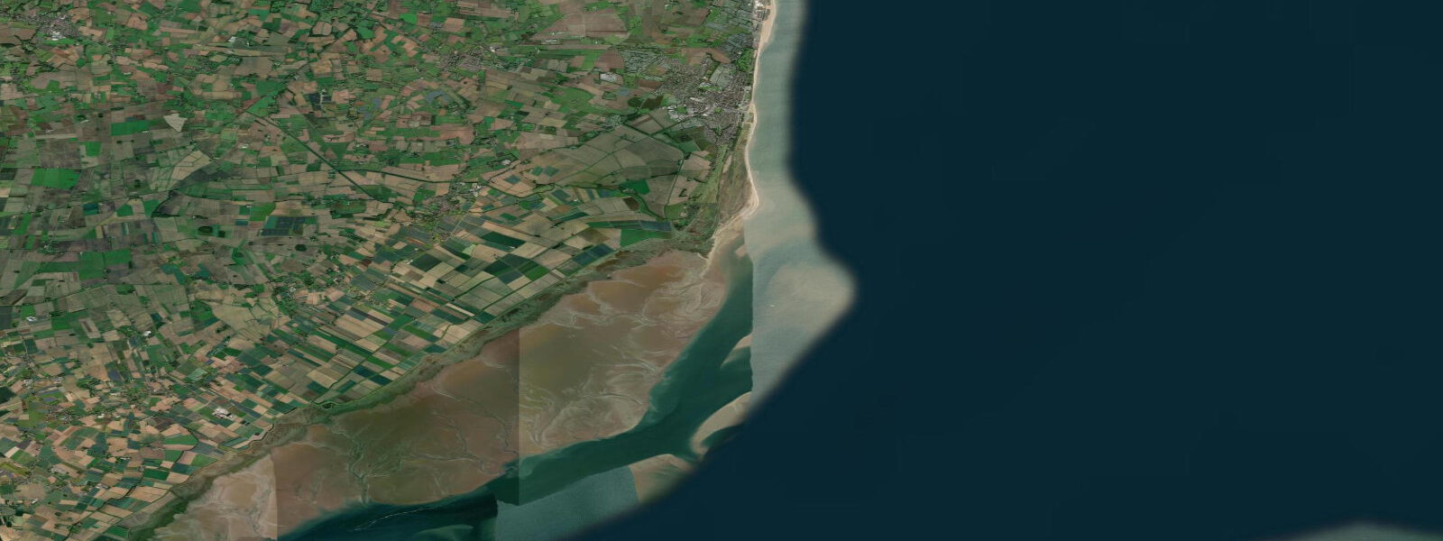
Cleethorpes is a North East Lincolnshire resort at the southern mouth of the Humber estuary, immediately adjacent to Grimsby. The tidal character here is the most extreme on the Lincolnshire coast: mean spring range approximately 5.0 m above Chart Datum, elevated by the Humber funnel effect. The Humber is one of England's largest tidal rivers — at Hull, 35 km upstream, the spring range reaches 7 m, and the tidal bore that travels upriver on a fast spring flood is a genuine phenomenon. At Cleethorpes, standing at the estuary mouth, the foreshore exposure at low water on a spring tide is enormous: the sea retreats across hundreds of metres of inter-tidal sand flat, leaving the beach looking more like a tidal mudflat at the southern edge where the estuary sediment mixes with the open-coast sand.
The pier at Cleethorpes is a landmark: 372 metres long, Victorian in origin, rebuilt and shortened after storm damage over the 20th century. The pier sits at the northern end of the seafront and extends over the foreshore; at low water it stands above extensive exposed sand. The pier fishes whiting, codling, and pouting through autumn and winter; mackerel feathers from July through September are a reliable summer option from the pier head, where the water is deep enough at any stage of the tide.
The promenade runs 2 km from the pier south to Humberston, a consistent length of sea-facing walkway lined with amusements, cafés, and the occasional beach-front theatre act. The beach is sandy in the central section with more estuarine character south toward the Humber channel edge. At high water on spring tides the sea comes close to the promenade walls; at low water the walk to the water's edge is 400 to 600 metres.
For anglers, Cleethorpes has one of the more varied marks on the Lincolnshire coast. The Humber channel edge south of the pier provides access to deeper water and different species: flounder are abundant in the estuary mouth year-round; cod and whiting feature strongly from October through February in winter; silver eel runs happen on summer flood tides in the estuarine sections. The beach north of the pier toward Humberston Fitties produces dab and plaice in the warmer months. Crabbing from the pier steps is a reliable family activity at mid-tide when shore crabs come in with the flood.
Kitebuggying and kite landboarding have established a following at Cleethorpes because the wide, flat, firm sand at low water on spring tides provides a long, unobstructed run. The prevailing southwesterly wind combined with North Sea northeasterly exposure means the beach gets a range of wind directions. The activity is concentrated in the northern beach section toward Humberston where the sand is widest and foot traffic thinnest.
The Cleethorpes Coast Light Railway — a 1.5-mile narrow-gauge line — runs along the seafront from the leisure centre to the far end of the resort. It has operated in various forms since 1948 and is a working heritage railway. Timings are seasonal and the route parallels the promenade, giving good views across the Humber mouth.
Tide predictions here come from Open-Meteo Marine (±45 min / ±0.2–0.3 m above Chart Datum), cross-referenced with EA Flood Monitoring and the NTSLF. The standard reference port for navigation in the Humber is the UK Hydrographic Office Admiralty Tide Tables (NP201, Volume 1); the Humber Estuary is a major commercial shipping channel with significant tidal stream speeds that require proper chart-based planning.
Tide questions about Cleethorpes
Quick answers to the most common questions about tide times, range, and water access at Cleethorpes.
What is the tidal range at Cleethorpes and why is it so large?
Cleethorpes has a mean spring tidal range of approximately 5.0 m above Chart Datum — the largest on the Lincolnshire coast and significantly greater than Skegness (4.4 m) or Mablethorpe (4.0 m) to the south. The increase is caused by the Humber funnel: as the tidal wave propagates westward into the narrowing estuary, the same volume of water is forced into a progressively smaller cross-section, amplifying the range. At Hull (35 km upstream) the spring range reaches 7 m. At Cleethorpes the effect is already substantial — spring low tides expose 400 to 600 metres of foreshore, and high water on a spring brings the sea close to the promenade wall.
Is Cleethorpes Beach good for sea fishing?
Yes — the combination of open North Sea beach and Humber estuarine water gives Cleethorpes a wider species range than most Lincolnshire resorts. Flounder are caught from the estuary edge year-round on lugworm; plaice and dab feature from April through September. Cod and whiting run from October through February on night spring tides from the beach north and south of the pier. The pier head itself fishes mackerel on feathers from July through September and produces codling and whiting through winter. Silver eel runs occur on summer flood tides in the estuarine sections south of the pier. Crabbing from the pier steps at mid-tide is an accessible family activity.
What are the best activities at low tide on Cleethorpes Beach?
Spring low tides at Cleethorpes expose the largest beach area — 400 to 600 metres of firm, flat sand north of the pier toward Humberston. This is the window for kitebuggying and kite landboarding, which have an established following here for the unobstructed run and variable wind directions. Family activities include the walk to the water's edge across the exposed flats, rock pool investigation in the shallow sand ridges, and crabbing lines from the pier steps once the tide starts to flood. The low-water sand is firm enough for ball games and general beach use; the southern end toward the Humber channel edge becomes more estuarine and less suitable for paddling.
Is it safe to swim at Cleethorpes?
Swimming in the designated central beach area (south of the pier, where RNLI lifeguards patrol in summer) is generally safe in normal conditions. The large tidal range and the proximity of the Humber channel mean strong tidal currents run in the water south of the central beach, particularly on spring ebbs — this area is not a swimming zone. The northern beach toward Humberston Fitties is shallower and lower-current but is not lifeguarded. The Environment Agency monitors bathing water quality at Cleethorpes Beach; check the current year's designation before swimming, particularly after prolonged rainfall when estuary runoff affects quality.
Where do I get authoritative tide and navigation information for the Humber Estuary?
The Humber is one of the UK's busiest commercial shipping channels. Tidal stream speeds in the main navigation channel reach 3 to 4 knots on spring tides at the estuary mouth; further upstream at Hull the flood can exceed 5 knots. Predictions on this page come from Open-Meteo Marine (±45 min / ±0.2–0.3 m above Chart Datum) and are suitable for beach planning only. For any navigational use — small craft passages, anchoring, approach to the River Humber — use UK Hydrographic Office Admiralty Tide Tables (NP201, Volume 1), the Humber tidal stream atlas, and current Admiralty charts. Associated British Ports (Humber) publishes local notices to mariners covering the channel. Never navigate the Humber shipping lanes on model-derived predictions alone.
8-day tide table — Cleethorpes
Heights relative to MSL. Predictions: Open-Meteo Marine (MeteoFrance SMOC, 0.08° grid) — heights relative to MSL (not chart datum / LAT). Model-derived.
| Day | Type | Time | Height |
|---|---|---|---|
| Sun 21 Jun | High | 01:00 | 0.2m / 0.5ft |
| Low | 04:17 | -2.3m / -7.4ft | |
| High | 10:16 | 1.9m / 6.2ft | |
| Low | 16:56 | -2.9m / -9.5ft | |
| High | 23:09 | 1.2m / 3.8ft | |
| Mon 22 Jun | Low | 05:07 | -2.1m / -6.9ft |
| High | 11:09 | 1.6m / 5.2ft | |
| Low | 17:51 | -2.7m / -8.9ft | |
| Tue 23 Jun | High | 00:14 | 1.0m / 3.3ft |
| Low | 06:10 | -1.9m / -6.3ft | |
| High | 12:11 | 1.2m / 4.1ft | |
| Low | 18:44 | -2.3m / -7.6ft | |
| Wed 24 Jun | High | 01:22 | 1.2m / 3.8ft |
| Low | 07:15 | -1.6m / -5.2ft | |
| High | 13:18 | 1.3m / 4.2ft | |
| Low | 19:48 | -2.1m / -7.0ft | |
| Thu 25 Jun | High | 02:16 | 1.0m / 3.4ft |
| Low | 08:18 | -1.9m / -6.1ft | |
| High | 14:33 | 1.1m / 3.7ft | |
| Low | 20:48 | -2.1m / -6.8ft | |
| Fri 26 Jun | High | 03:15 | 1.1m / 3.5ft |
| Low | 09:17 | -2.0m / -6.6ft | |
| High | 15:35 | 1.2m / 3.8ft | |
| Low | 21:41 | -2.1m / -6.9ft | |
| Sat 27 Jun | High | 04:05 | 1.3m / 4.2ft |
| Low | 10:11 | -2.0m / -6.7ft | |
| High | 16:22 | 1.3m / 4.4ft | |
| Low | 22:28 | -2.2m / -7.2ft | |
| Sun 28 Jun | High | 00:00 | -1.8m / -5.8ft |