Whitstable tide times
Whitstable tide forecast — heights relative to MSL.
Today's tide times for Whitstable
Tide times at Whitstable on Friday, 19 June 2026: first low tide at 01:00, first high tide at 03:24, second low tide at 09:50, second high tide at 15:36, third low tide at 22:12. Sunrise 04:38, sunset 21:15.
Tide chart for Whitstable
24-hour cosine-interpolated curve around the present moment. Heights relative to MSL. Predictions: Predictions: Open-Meteo Marine (MeteoFrance SMOC, 0.08° grid).
Sun, moon and conditions on Fri 19 Jun
Snapshot at build time — refreshes daily. Sea state from Open-Meteo Marine.
Highs and lows next 7 days
Every predicted high and low for the next week, with the daily tidal coefficient (0–120; higher = bigger swing, > 95 means stronger currents).
Other spots nearby
The three closest curated TideTurtle locations to Whitstable, measured by great-circle distance.
Today's solunar windows
Solunar tradition: major periods are the ≈3h windows around moon transit and opposition; minor are ≈2h around moonrise and moonset. Pair with the local tide stage and wind for the best read.
Cycle dates near Whitstable
Last spring tide on Fri 19 Jun (range 4.5m / 14.9ft). Next neap on Tue 23 Jun.
Spring tides cluster around new and full moons (biggest swings). Neap tides land on quarter moons (smallest swings). See the spring tide and neap tide glossary entries for the why.
About tides at Whitstable
A short guide to the coastline at Whitstable — geography, sea state, and what the tide is actually doing under your feet.
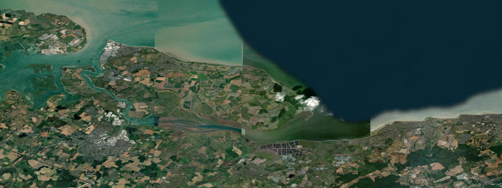
Whitstable is on the Thames Estuary, about 80 kilometres east of London on the north Kent coast, and it has become the default London weekend escape for people who want a functional seaside rather than a theme-park one. The tidal range is macrotidal: mean spring range around 4.8 metres, neaps dropping to 3.2 m. Low water retreats far enough that the foreshore sometimes seems to disappear entirely — the seabed exposed is stony and muddy in parts, sandy in others, and this is where the oysters grow.
Whitstable is synonymous with native oysters (Ostrea edulis), cultivated here since Roman times. The oyster beds are tended by local fishermen; the town holds its oyster festival each July. The catch cycle is partly tidal — oysters are harvested on low water, when the beds are accessible by flat-bottomed punt. Visitors can buy oysters at the harbour stalls from early morning; the freshest are eaten immediately at the beach wall with lemon and Tabasco.
The beach is predominantly shingle, with some sand revealed at low water on the western stretches. Swimmers favour the incoming tide from mid-ebb onwards — the receding water leaves the stones warmer and the shallows clear. High tide at Whitstable can put the sea wall under modest surge during sustained northerly or northwesterly storms; the storm of 1953 flooded the town centre and the flood levels are still marked on some older buildings.
Windsurfers and kitesurfers use the beach west of the harbour. The estuary gives a consistent westerly in afternoon sea breeze conditions, with enough fetch across the Thames Estuary to generate proper chop. The tidal range matters for launching: at low water the shore is very shallow for a long run, and returning to the beach at low water can require carrying gear over 200 metres of wet shingle.
The Whitstable to Seasalter stretch west of town is one of the better walks on the north Kent coast. Low water reveals the stony foreshore and the remains of old oyster tanks. Waders — dunlin, grey plover, turnstone — feed along the tide line. Photographers get dramatic light on autumn evenings when the sun sets over the estuary.
Tide predictions on this page come from Open-Meteo Marine, a gridded global ocean model, cross-referenced with UK Environment Agency gauge data. For the most accurate local predictions, consult the UK National Tide Gauge Network via CEFAS or the UKHO's EasyTide service.
Tide questions about Whitstable
Quick answers to the most common questions about tide times, range, and water access at Whitstable.
What is the tidal range at Whitstable?
Whitstable has one of the larger tidal ranges on the south coast of the Thames Estuary. Mean spring range is around 4.8 metres; mean neap range drops to about 3.2 m. This is classified as macrotidal, which means the foreshore exposure at low water is extensive. The town's beach is primarily shingle — at low water the sea can be 200 to 300 metres from the promenade.
When is the best time to buy fresh oysters at Whitstable harbour?
The harbour stalls have fresh oysters most mornings from around 8 a.m. The freshest catches come in on the early tide, so arrival before 10 a.m. gives the best selection. Oyster season runs year-round commercially, though the Whitstable Oyster Festival in late July is the peak event. Native oysters (Ostrea edulis) are the local variety; Pacific oysters (Crassostrea gigas) are also available and are harvested from different intertidal beds.
Is Whitstable beach good for swimming?
Swimming is popular from May through September, with the incoming tide from mid-ebb onwards being the preferred window — cleaner water and warmer shallows as the flood returns. The beach is shingle, which means no sand underfoot but also less turbidity in the water. Water quality designations for the Whitstable Bay bathing water are published annually by the Environment Agency; check before swimming, particularly after heavy rain when storm drains can affect the eastern beach near the harbour.
Can I windsurf or kitesurf at Whitstable?
Yes — the beach west of the harbour (toward Seasalter) is the local launch area for windsurfers and kitesurfers. The Thames Estuary provides an open westerly fetch and consistent afternoon sea breeze in summer. The large tidal range means launch conditions change significantly through the day: at low water the shoreline is very shallow for a long approach, while high water brings the water to the shingle berm. Plan launches around mid-tide for the easiest water access.
What is the flood risk at Whitstable?
The town experienced catastrophic flooding in the January 1953 North Sea flood, when a storm surge of over 2 metres combined with a spring high tide to overtop the sea wall. Flood marks are still visible on buildings near the beach. Modern sea defences have been improved since, but the Environment Agency flood risk maps still show parts of the town at medium risk. Prolonged northerly or northwesterly storms combined with high spring tides are the main risk scenario. Check Environment Agency live flood alerts for real-time information.
8-day tide table — Whitstable
Heights relative to MSL. Predictions: Open-Meteo Marine (MeteoFrance SMOC, 0.08° grid) — heights relative to MSL (not chart datum / LAT). Model-derived.
| Day | Type | Time | Height |
|---|---|---|---|
| Fri 19 Jun | Low | 01:00 | -0.2m / -0.6ft |
| High | 03:24 | 1.9m / 6.1ft | |
| Low | 09:50 | -1.8m / -5.9ft | |
| High | 15:36 | 1.8m / 5.9ft | |
| Low | 22:12 | -2.7m / -8.8ft | |
| Sat 20 Jun | High | 04:16 | 1.6m / 5.1ft |
| Low | 10:33 | -1.7m / -5.6ft | |
| High | 16:24 | 1.7m / 5.4ft | |
| Low | 22:57 | -2.5m / -8.3ft | |
| Sun 21 Jun | High | 05:07 | 1.6m / 5.1ft |
| Low | 11:22 | -1.8m / -6.0ft | |
| High | 17:21 | 1.6m / 5.4ft | |
| Low | 23:51 | -2.5m / -8.1ft | |
| Mon 22 Jun | High | 06:04 | 1.1m / 3.7ft |
| Low | 12:06 | -1.8m / -6.0ft | |
| High | 18:16 | 1.4m / 4.6ft | |
| Tue 23 Jun | Low | 00:41 | -2.4m / -8.0ft |
| High | 07:06 | 1.2m / 3.8ft | |
| Low | 13:00 | -1.7m / -5.7ft | |
| High | 19:17 | 1.3m / 4.2ft | |
| Wed 24 Jun | Low | 01:26 | -2.1m / -6.9ft |
| High | 08:04 | 1.3m / 4.3ft | |
| Low | 13:54 | -1.6m / -5.3ft | |
| High | 20:21 | 1.3m / 4.1ft | |
| Thu 25 Jun | Low | 02:21 | -2.1m / -6.9ft |
| High | 09:06 | 1.2m / 4.0ft | |
| Low | 14:49 | -1.8m / -5.9ft | |
| High | 21:24 | 1.4m / 4.4ft | |
| Fri 26 Jun | Low | 00:00 | 0.1m / 0.4ft |