Southend-on-Sea tide times
Southend-on-Sea tide forecast — heights relative to MSL.
Today's tide times for Southend-on-Sea
Tide times at Southend-on-Sea on Saturday, 27 June 2026: first high tide at 01:00, first low tide at 04:03, second high tide at 10:48, second low tide at 16:28, third high tide at 23:07. Sunrise 04:41, sunset 21:18.
Tide chart for Southend-on-Sea
24-hour cosine-interpolated curve around the present moment. Heights relative to MSL. Predictions: Predictions: Open-Meteo Marine (MeteoFrance SMOC, 0.08° grid).
Sun, moon and conditions on Sat 27 Jun
Snapshot at build time — refreshes daily. Sea state from Open-Meteo Marine.
Highs and lows next 7 days
Every predicted high and low for the next week, with the daily tidal coefficient (0–120; higher = bigger swing, > 95 means stronger currents).
Other spots nearby
The three closest curated TideTurtle locations to Southend-on-Sea, measured by great-circle distance.

Today's solunar windows
Solunar tradition: major periods are the ≈3h windows around moon transit and opposition; minor are ≈2h around moonrise and moonset. Pair with the local tide stage and wind for the best read.
Cycle dates near Southend-on-Sea
Next spring tide on Fri 03 Jul (range 4.2m / 13.7ft). Last neap on Sat 27 Jun.
Spring tides cluster around new and full moons (biggest swings). Neap tides land on quarter moons (smallest swings). See the spring tide and neap tide glossary entries for the why.
About tides at Southend-on-Sea
A short guide to the coastline at Southend-on-Sea — geography, sea state, and what the tide is actually doing under your feet.
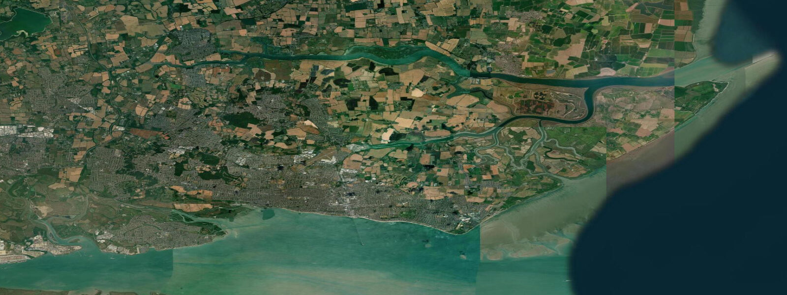
Southend-on-Sea sits on the north shore of the Thames Estuary where the river has widened to nearly 10 km but the water remains shallow enough to walk at low tide for hundreds of metres from the shore. That shallowness is the defining fact of the place: it is why the pier was built to 2.16 km, the longest pleasure pier in the world, stretching far enough out into the estuary to reach water deep enough for vessels at all states of tide. The pier is not a folly. Before it was built, passengers transferring between London-bound steamers and the shore had to wade or be carried. The pier solved a genuine problem of the tidal estuary.
The spring tidal range at Southend is approximately 5.8 m, driven by the funnel geometry of the Thames Estuary that amplifies the tidal wave as it moves upstream from the open North Sea. At low water on a spring tide, the beach extends 1.5 km seaward of the high-water mark — a wide flat expanse of sand and estuary mud. The distinction between the two is visible: the upper beach (sand) gives way to the lower beach (grey-brown estuary mud) at roughly half-tide level, and the mud supports invertebrate populations that draw thousands of wading birds to the foreshore in winter. Families claim the sand in summer; the mud belongs to the birds.
For anglers, the pier is the primary venue and one of the most productive sea fishing platforms in the Thames Estuary. Whiting run strongly from October through January, best in the first two hours of the ebb when the tide is running off the pier at full strength. Dab and plaice work the sandy bottom in summer, taking ragworm and lugworm bait presented on the bottom. Bass are the prestige catch: they arrive behind the flood tide from May through September, hunting the baitfish that the current pushes along the estuary. Night sessions on the pier during neap tides — when the slack water lasts longer — are the most productive bass strategy. The pier railway (pier train) runs the length of the structure and saves the 2.16 km walk; the last train back matters for evening sessions.
Eastern Esplanade and Thorpe Bay to the east offer a slightly sandier shoreline than the central beach and are popular with families who want beach access away from the crowds near the pier. The beach huts along this stretch are privately owned and extremely sought after. At low water on spring tides, the rock groynes that interrupt the beach are exposed to their full height and the pools between them hold crabs and small fish — productive rock pooling with children works this zone for an hour either side of low water.
Sailors using the Thames Estuary from Southend are working one of the busiest commercial waterways in Europe. The deep-water channel used by vessels bound for Tilbury and the upriver terminals runs close to the south shore; in the navigation buoyed channels the tidal current peaks at 2–3 knots on spring ebbs. Small craft need awareness of the ship traffic and the tidal window for reaching the upriver anchorages at Leigh-on-Sea and Benfleet Creek, both of which dry at low water and have access windows of HW ±2.5 hours on neaps and slightly less on springs.
The estuary foreshore at Southend is designated a Site of Special Scientific Interest (SSSI) for its invertebrate communities and overwintering bird populations. The mudflat visible at low water from the pier and the seafront supports dunlin, knot, turnstone, oystercatcher, and curlew through winter. Grey seals haul out on the isolated sandbanks in the outer estuary, visible from the pier head with binoculars. A flat-calm spring low tide on a clear winter morning produces the estuary at its most elemental: the tide drawn back, the mud gleaming, the birds working the waterline, and the pier stretching away into the mist.
All tide predictions for Southend-on-Sea come from the Open-Meteo Marine gridded model. Timing accuracy is ±45 minutes; height accuracy is ±0.3 m above Chart Datum.
Tide questions about Southend-on-Sea
Quick answers to the most common questions about tide times, range, and water access at Southend-on-Sea.
Why is Southend pier 2.16 km long?
The Thames Estuary is very shallow at Southend — the beach extends 1.5 km at spring low water, and the foreshore drops only gradually below that. Before the pier, passengers transferring between London steamers and the shore had to wade or use small ferry boats at every state of tide. The pier was extended incrementally through the 19th century to reach deep enough water for year-round vessel access. At 2.16 km it remains the longest pleasure pier in the world. The pier railway (operational year-round) runs the full length so visitors do not have to walk each way.
What is the tidal range at Southend-on-Sea and when does the beach expose?
The spring tidal range at Southend is approximately 5.8 m, one of the largest on the Thames Estuary. At low spring water, the beach extends around 1.5 km from the high-water mark — first sand, then estuary mud on the lower beach. Neap range is around 2.8 m, giving a smaller but still substantial exposure. The transition from sand to mud happens at roughly half-tide level; rock pooling and family beach use is best in the upper sand zone, which exposes cleanly 2–3 hours either side of low water on springs.
What fish are caught from Southend pier and when?
Whiting from October through January are the most consistent catch, best in the first two hours of the ebb. Dab and plaice work the sandy bottom in summer on ragworm and lugworm. Bass arrive on the flood from May through September and are most reliably caught at night during neap tides when slack water extends. Thornback ray, sole, and smoothhound are occasionally caught in summer. The pier's length puts anglers over deeper water than is accessible from the shore — the outer sections are significantly more productive than the shallower inner sections.
Are the Southend mudflats good for birdwatching?
The foreshore at Southend is a designated SSSI and supports large wading bird populations through autumn and winter. Dunlin, knot, turnstone, oystercatcher, and curlew work the mudflats at low water from September through April. The best viewing is from the pier and the seafront promenade, with the tide dropping through the lower beach to expose the productive estuary mud. Grey seals haul out on outer sandbanks and are visible from the pier head with binoculars. Numbers peak from October through February.
Can small boats navigate from Southend into the Thames Estuary safely?
Yes, but the estuary requires careful planning. The deep-water channel used by commercial shipping runs close to the south shore and carries significant vessel traffic bound for Tilbury and upriver terminals. Tidal currents peak at 2–3 knots on spring ebbs in the buoyed channels. Leigh-on-Sea and Benfleet Creek, the main small-boat anchorages west of Southend, both dry at low water — access window is approximately HW ±2.5 hours on neaps. Always carry an up-to-date Admiralty chart (no. 1185 or 3750) and file a passage plan with local marina staff before departing.
8-day tide table — Southend-on-Sea
Heights relative to MSL. Predictions: Open-Meteo Marine (MeteoFrance SMOC, 0.08° grid) — heights relative to MSL (not chart datum / LAT). Model-derived.
| Day | Type | Time | Height |
|---|---|---|---|
| Sat 27 Jun | High | 01:00 | -0.0m / -0.1ft |
| Low | 04:03 | -1.9m / -6.2ft | |
| High | 10:48 | 1.3m / 4.3ft | |
| Low | 16:28 | -2.0m / -6.5ft | |
| High | 23:07 | 1.4m / 4.5ft | |
| Sun 28 Jun | Low | 04:54 | -1.9m / -6.1ft |
| High | 11:28 | 1.6m / 5.1ft | |
| Low | 17:23 | -2.1m / -6.8ft | |
| High | 23:53 | 1.5m / 4.8ft | |
| Mon 29 Jun | Low | 05:45 | -1.8m / -6.0ft |
| High | 12:11 | 1.7m / 5.5ft | |
| Tue 30 Jun | Low | 06:35 | -1.9m / -6.4ft |
| High | 12:48 | 1.5m / 5.0ft | |
| Low | 18:54 | -2.2m / -7.2ft | |
| Wed 01 Jul | High | 01:12 | 1.7m / 5.5ft |
| Low | 07:15 | -1.9m / -6.3ft | |
| High | 13:26 | 1.6m / 5.4ft | |
| Low | 19:42 | -2.3m / -7.7ft | |
| Thu 02 Jul | High | 01:50 | 1.5m / 5.0ft |
| Low | 07:56 | -1.9m / -6.3ft | |
| High | 14:03 | 1.7m / 5.6ft | |
| Low | 20:24 | -2.2m / -7.3ft | |
| Fri 03 Jul | High | 02:29 | 1.6m / 5.2ft |
| Low | 08:39 | -1.7m / -5.6ft | |
| High | 14:37 | 1.7m / 5.7ft | |
| Low | 21:05 | -2.5m / -8.0ft | |
| Sat 04 Jul | High | 00:00 | -0.6m / -2.0ft |