Grace Bay, Turks and Caicos tide times
Grace Bay, Turks and Caicos tide forecast — heights relative to MSL.
Today's tide times for Grace Bay, Turks and Caicos
Tide times at Grace Bay, Turks and Caicos on Saturday, 4 July 2026: first low tide at 05:15am, first high tide at 11:04am, second low tide at 05:00pm. Sunrise 06:10am, sunset 07:36pm.
Tide chart for Grace Bay, Turks and Caicos
24-hour cosine-interpolated curve around the present moment. Heights relative to MSL. Predictions: Predictions: Open-Meteo Marine (MeteoFrance SMOC, 0.08° grid).
Sun, moon and conditions on Sat 04 Jul
Snapshot at build time — refreshes daily. Sea state from Open-Meteo Marine.
Highs and lows next 7 days
Every predicted high and low for the next week, with the daily tidal coefficient (0–120; higher = bigger swing, > 95 means stronger currents).
Other spots nearby
The three closest curated TideTurtle locations to Grace Bay, Turks and Caicos, measured by great-circle distance.
Today's solunar windows
Solunar tradition: major periods are the ≈3h windows around moon transit and opposition; minor are ≈2h around moonrise and moonset. Pair with the local tide stage and wind for the best read.
Cycle dates near Grace Bay, Turks and Caicos
Next spring tide on Thu 09 Jul (range 0.8m). Next neap on Sat 04 Jul.
Spring tides cluster around new and full moons (biggest swings). Neap tides land on quarter moons (smallest swings). See the spring tide and neap tide glossary entries for the why.
About tides at Grace Bay, Turks and Caicos
A short guide to the coastline at Grace Bay, Turks and Caicos — geography, sea state, and what the tide is actually doing under your feet.
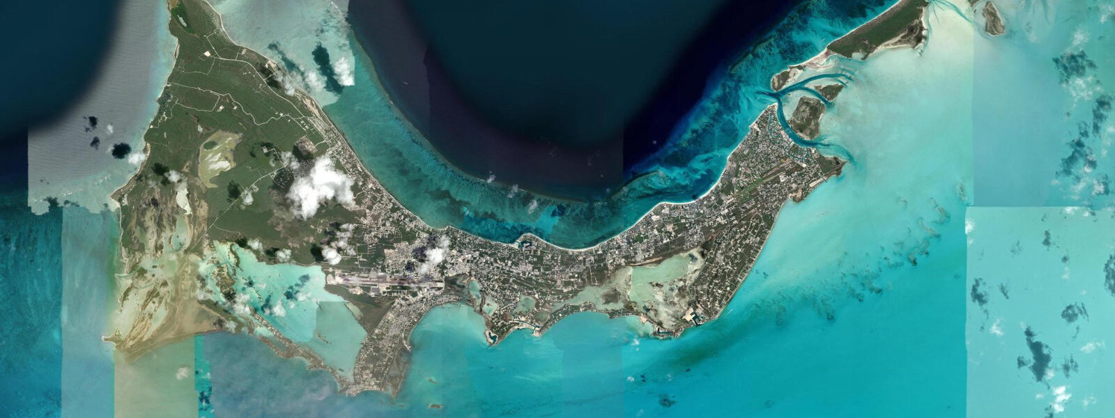
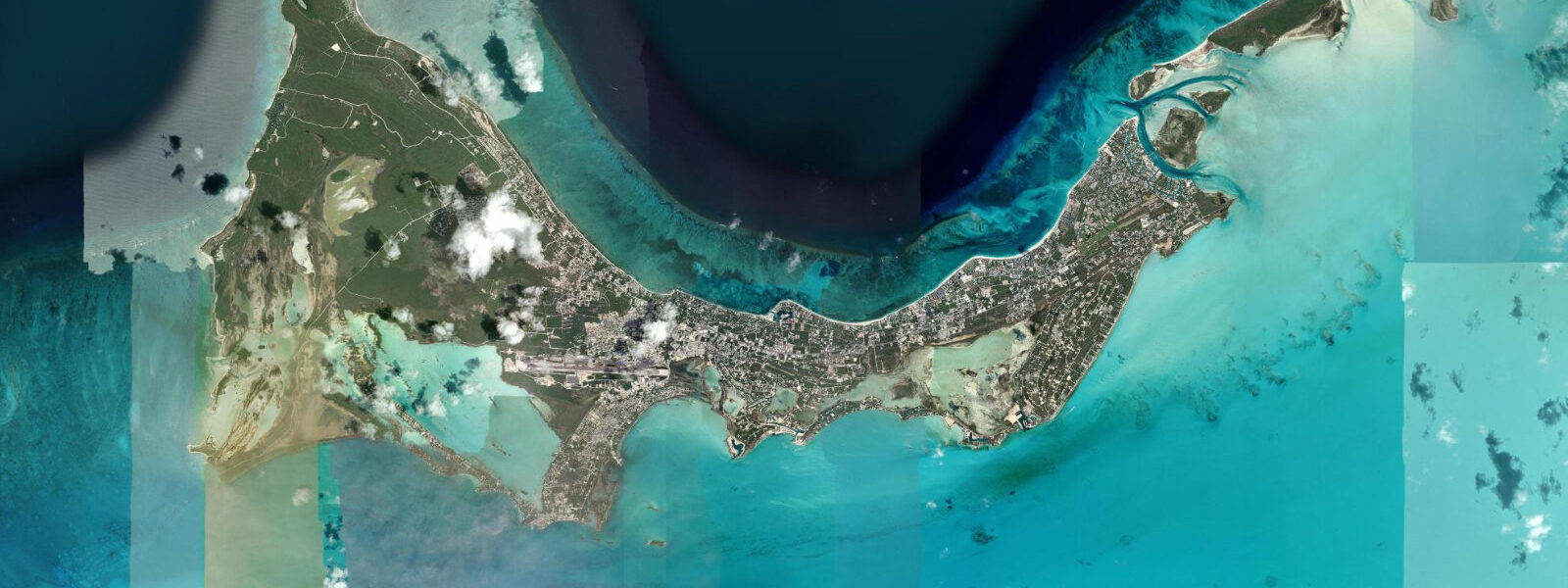
Grace Bay runs 22 km along the north shore of Providenciales, the main populated island of the Turks and Caicos, and the Caicos Bank barrier reef sits 0.8 km offshore. The combination of powdered-calcium-carbonate sand, protected shallow water, and consistent easterly trade producing a light onshore breeze has placed Grace Bay at the top of beach rankings for years. The reef wall begins just beyond the surf zone in water that shades from turquoise at the shore to sapphire at the drop-off.
The tidal regime is Caribbean microtidal: spring range 0.3 to 0.5 metres, mixed semidiurnal. The reef acts as a further natural damper — the barrier blocks the direct trade swell, and only refracted energy penetrates into the bay. The result is that Grace Bay's beach conditions are defined almost entirely by wind direction and speed rather than tidal state. The water level change between high and low is 0.3 to 0.5 m, which on the very gently sloping sand moves the waterline only a few metres. For swimming, snorkelling from the beach, or simply sitting in the shallows, the tide prediction on this page is a background variable rather than an operational one.
Snorkelling from Grace Bay's beach reaches the reef in a 15 to 20-minute swim offshore. The intermediate reef flat between the beach and the wall holds small coral heads, starfish on the sandy patches, conch grazing, and nurse sharks resting on the bottom in 2 to 4 m. The wall itself starts at about 6 m and drops vertically; snorkellers can see the top of the wall clearly but diving it requires SCUBA. The third-largest coral reef system in the world by most measures runs the full length of the Caicos Bank perimeter, and the Grace Bay section is among the most intact because the hotel setback requirement keeps development off the immediate beachfront.
Dive operators out of Grace Bay run two-tank morning dives to the wall as a standard offering. Northwest Point, at the west end of Providenciales, is the most dramatic wall dive — vertical to 60 m with large pelagic fish, including spotted eagle rays and occasional hammerhead shark on the seasonal run. The dive sites along the Grace Bay section of the wall are shallower and suited to the newly certified. Current on the wall runs from southeast on the flood to northwest on the ebb; the predicted turn of tide (±45 min from Open-Meteo) is the broad guide, but local dive operators know the site-specific timing.
Kite surfing operates from the southeast end of Grace Bay, where the trade wind is less obstructed and the water shallower. The Bight, a bay within the bay at the east end, is the primary kite launch zone. Conditions are best from November through April when the northeast trade is most consistent and strongest (15 to 25 knots); summer brings lighter, less reliable wind. Tide state matters for kite access — at low tide, the Bight shallows in places to below knee depth, and kiters need to pick their launch corridor to avoid grounding. On a spring low (0.3 to 0.5 m below the high), the bottom is exposed across 50+ metres of the inner Bight.
Families with children find Grace Bay's long shallow section, the absence of significant current inside the reef, and the reef-damped swell ideal. The main risks are sunburn and dehydration in the high-sun months — the beach faces roughly north, receiving sun across the full arc. Beach chairs and palapas are available from hotels; a few public access points exist between the resort blocks. The 22 km length ensures that even on the busiest days in December–March, the beach is not wall-to-wall bodies.
Anglers target bonefish on the flats extending south from Leeward Highway toward the Caicos Banks. These flats, west of the main beach area, are among the most extensive permit and bonefish habitat in the Caribbean. A local guide is near-mandatory for the shallow-draft boat navigation across the flats and for reading the fish-holding structure.
Predictions on this page come from Open-Meteo Marine, a global gridded ocean model. Accuracy is ±45 minutes on timing and ±0.2 to 0.3 metres on height. NOAA's Providenciales or Cockburn Harbour harmonic data is the most accurate regional reference for TCI tidal planning.
Tide questions about Grace Bay, Turks and Caicos
Quick answers to the most common questions about tide times, range, and water access at Grace Bay, Turks and Caicos.
When is the next high tide at Grace Bay?
The predicted next high tide at Grace Bay is shown at the top of this page in Eastern Standard Time (EST, UTC-5; TCI does not observe daylight saving). Spring range is 0.3 to 0.5 metres — microtidal. For most beach activities, wind direction matters more than the tide state. Predictions come from Open-Meteo Marine (gridded, ±45 min / ±0.2–0.3 m); NOAA's Providenciales harmonic data is the authoritative regional reference.
What is the tide range at Grace Bay?
Spring range at Grace Bay is 0.3 to 0.5 metres between astronomical low and high water — Caribbean microtidal. The barrier reef 0.8 km offshore reduces even this modest swell and wave energy inside the bay. Neap tides around the quarter moons compress the range further. Wind setup on a strong northeast trade day can shift water level by a comparable amount — making weather monitoring as important as checking the tide.
Is the reef visible from the beach without a boat?
The reef flat starts about 0.8 km offshore — a 15–20 minute swim from the beach or a 5-minute paddle on a kayak. The inner sand flat between the beach and the reef holds starfish, conch, and small coral heads in 2–4 m depth. The reef wall itself drops from 6 m; snorkellers can view the top of the wall clearly. Guided snorkel boat tours depart from the main beach every morning — a faster, more focused option than swimming out independently.
When is the best time for bonefish on the Caicos flats?
Bonefish and permit are present on the Caicos flats year-round. The fish are most active on an incoming tide as they push onto the flat to feed — typically the first 2–3 hours of the flood phase. Spring tides that push water onto sections of the flat that are barely covered on neap tides can concentrate feeding fish in predictable lanes. A local guide with a shallow-draft boat is essential for reading the flats; calling ahead to book is strongly recommended in January–April peak season.
Is this safe to use for navigation?
No. TideTurtle is a planning tool, not a nautical almanac. Navigation inside the Caicos Bank reef, along Grace Bay's approach, and into the channels around Providenciales requires current charts from the UKHO or NOAA and local pilotage knowledge. The shallow bank has numerous unmarked hazards. Open-Meteo Marine predictions are not a substitute for authoritative harmonic data for any vessel operation.
7-day tide table — Grace Bay, Turks and Caicos
Heights relative to MSL. Predictions: Open-Meteo Marine (MeteoFrance SMOC, 0.08° grid) — heights relative to MSL (not chart datum / LAT). Model-derived.
| Day | Type | Time | Height |
|---|---|---|---|
| Sat 04 Jul | Low | 05:15 | 0.2m |
| High | 11:04 | 0.6m | |
| Low | 17:00 | 0.2m | |
| Sun 05 Jul | High | 11:54 | 0.6m |
| Low | 17:55 | 0.2m | |
| Mon 06 Jul | High | 00:10 | 0.7m |
| Low | 06:38 | 0.2m | |
| High | 12:55 | 0.6m | |
| Low | 18:50 | 0.3m | |
| Tue 07 Jul | High | 00:55 | 0.7m |
| Low | 07:21 | 0.1m | |
| High | 13:50 | 0.7m | |
| Low | 19:54 | 0.3m | |
| Wed 08 Jul | High | 01:45 | 0.6m |
| Low | 08:00 | 0.1m | |
| High | 14:50 | 0.7m | |
| Thu 09 Jul | Low | 08:52 | 0.1m |
| High | 15:47 | 0.8m | |
| Fri 10 Jul | Low | 09:52 | 0.0m |
| High | 16:45 | 0.8m | |
| Low | 19:00 | 0.7m |