Providenciales tide times
Providenciales tide forecast — heights relative to MSL.
Today's tide times for Providenciales
Tide times at Providenciales on Saturday, 27 June 2026: first low tide at 01:00am, first high tide at 06:00am, second low tide at 12:00pm, second high tide at 07:00pm. Sunrise 06:08am, sunset 07:35pm.
Tide chart for Providenciales
24-hour cosine-interpolated curve around the present moment. Heights relative to MSL. Predictions: Predictions: Open-Meteo Marine (MeteoFrance SMOC, 0.08° grid).
Sun, moon and conditions on Sat 27 Jun
Snapshot at build time — refreshes daily. Sea state from Open-Meteo Marine.
Highs and lows next 7 days
Every predicted high and low for the next week, with the daily tidal coefficient (0–120; higher = bigger swing, > 95 means stronger currents).
Other spots nearby
The three closest curated TideTurtle locations to Providenciales, measured by great-circle distance.
Today's solunar windows
Solunar tradition: major periods are the ≈3h windows around moon transit and opposition; minor are ≈2h around moonrise and moonset. Pair with the local tide stage and wind for the best read.
Cycle dates near Providenciales
Next spring tide on Sat 27 Jun (range 0.7m). Next neap on Sun 28 Jun.
Spring tides cluster around new and full moons (biggest swings). Neap tides land on quarter moons (smallest swings). See the spring tide and neap tide glossary entries for the why.
About tides at Providenciales
A short guide to the coastline at Providenciales — geography, sea state, and what the tide is actually doing under your feet.
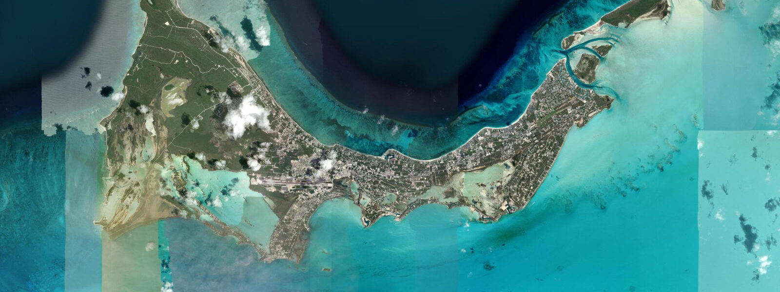
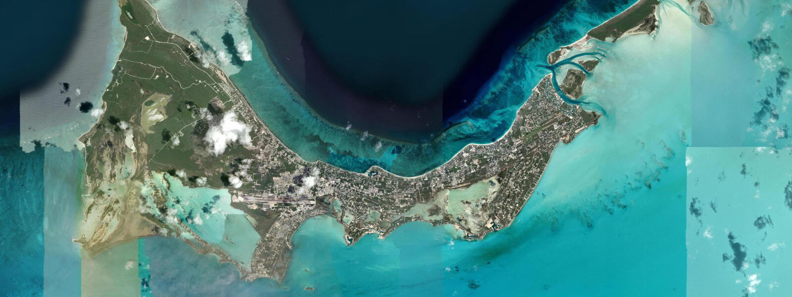
Providenciales — Provo to everyone who lives here — is the commercial and tourism hub of the Turks and Caicos Islands, a low-lying limestone island on the northern edge of the Caicos Bank. The island's defining feature is its north coast: Grace Bay, a 12-kilometre arc of powdered-silica sand behind a continuous barrier reef, is consistently ranked among the world's top beaches. The reef keeps the inshore water calm and clear, and the turquoise colour — product of white sand, shallow water, and full tropical sun — does not require photographic enhancement.
The tidal regime at Providenciales is mixed semidiurnal with a spring range of approximately 0.4–0.6 m above Chart Datum. Two unequal highs and two unequal lows occur each day; the daily inequality means the higher high water on a spring tide is typically 0.1–0.2 m above the lower high. Mean high water springs reaches approximately 0.4–0.5 m above Chart Datum at Provo; mean low water springs drops to around -0.1 to 0.0 m. This is a microtidal environment — weather effects and wind-driven setup from trade events can exceed the tidal signal, particularly on the north coast when a sustained northerly trade drives water against the barrier reef.
For swimmers and snorkellers, the practical implication of the Grace Bay tidal range is subtle but real. The barrier reef sits 0.5–1.0 km offshore; at high water the reef crest is 0.3–0.5 m below the surface, accessible for snorkellers with reasonable swimming ability. At low spring water the shallowest reef sections break the surface or sit only centimetres below it — not dangerous in calm conditions, but a scraping hazard for anyone drifting over the crest without awareness of tidal state. The reef passes and channels cut through the barrier are navigable at all tidal stages for small boats; the shallower passages on the eastern end of Grace Bay narrow in effective depth at low spring tide. Reef snorkel operators time excursions to the flooding tide for the clearest water, as the ebb from the Caicos Bank can carry sediment from the inner flat across the reef line.
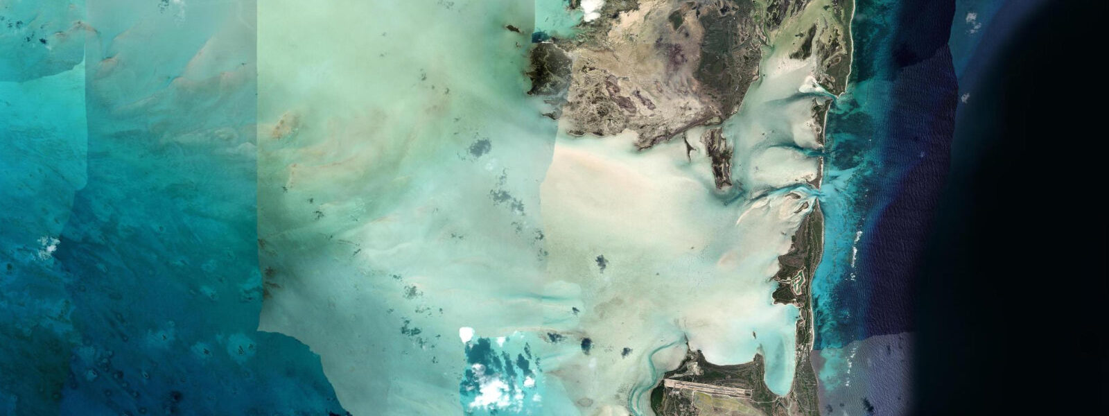
The south coast of Providenciales faces the Caicos Bank — a vast, shallow limestone shelf extending south and east. The Bank is the operative environment for bonefishing: mile upon mile of sand and turtle-grass flat in water 0.3–1.0 m deep, accessible only on the flooding tide when sufficient depth covers the grass. The bonefish flat south of Provo extends toward South Caicos, with productive areas accessible by skiff from the Turtle Cove marina on the island's north coast. Guides pole their skiffs from the dock before sunrise to reach the flat at first flood light — a tidal window that shifts 50 minutes later each day through the lunar cycle. Spring tides push more water onto the flat and produce the widest fishable area; neap tides leave sections too shallow for the fish to move far from the channel edges.
For kayakers and paddlers, the south-coast channels between the Caicos Bank and the inner mangrove shoreline are the productive zone. Mangrove channels at Juba Sound and the inner harbour at Turtle Cove run with the tidal flow; the 0.4–0.6 m spring range is enough to make the mangrove channels navigable at mid-to-high tide and to strand a kayak on exposed mud at low spring water. The north coast at Grace Bay is protected enough for flat-water paddleboarding at any tidal state in calm weather; the reef provides effective wave filtration. The Blue Hills and Malcolm's Road Beach sections of the northwest coast expose rock and coral rubble at low water, limiting beach access.
Families with young children work the Grace Bay beach at any tidal state — the reef creates a protected lagoon where depth change of 0.4 m over the tidal cycle is barely perceptible in 1.0–1.5 m of water. The afternoon light on Grace Bay from about 14:00 through sunset is the strongest, as the beach faces north and the sun angle swings west. Low water in the evening exposes a thin strip of pale sand at the waterline that the high-water level covers; the width change at Grace Bay is 10–20 m over a full tidal cycle.
Hurricane season June through November is the major coastal risk. The Caicos Bank acts as a surge accumulator: water driven by an approaching hurricane piles onto the shallow bank with nowhere to go, and surge heights in major events have reached 2–3 m above normal sea level on low-lying Provo. The astronomical tide is irrelevant in those conditions. Between December and May, the weather pattern is stable trade wind conditions from the northeast; occasional winter cold fronts push through with northerly wind that elevates the north-coast sea level 0.1–0.2 m above prediction.
All tide predictions for Providenciales come from the Open-Meteo Marine gridded model. Timing accuracy is ±45 minutes; height accuracy is ±0.3 m above Chart Datum.
Tide questions about Providenciales
Quick answers to the most common questions about tide times, range, and water access at Providenciales.
What is the tidal range at Grace Bay and how does it affect reef snorkelling?
Grace Bay has a mixed semidiurnal spring range of 0.4–0.6 m. The barrier reef crest sits 0.3–0.5 m below the surface at high water; at low spring tide the shallowest sections break the surface or sit only centimetres below it. Snorkel operators time excursions to the flooding tide for clearest water and safe clearance over the crest. The tidal change is small enough that most swimmers won't notice a difference in depth, but it matters when drifting over shallow reef sections where a 0.3 m height drop turns a safe passage into a potential coral scrape. Spring tides produce the most dramatic low-water reef exposure — worth seeing, but approach the crest with care.
How does the tidal flood affect bonefishing on the Caicos Bank south of Provo?
Bonefish move onto the Caicos Bank's turtle-grass flats as the flood covers the grass, feeding on crabs and shrimp in 30–80 cm of water. The first two hours of the flood — when water is actively pushing onto the flat and fish are feeding aggressively — are the productive window. Spring tides flood more of the flat than neap tides, extending the fishable zone. Guides depart Turtle Cove marina before sunrise to reach prime flat positions at first light on the flood. The tidal schedule shifts 50 minutes later each day; plan the week's fishing around the tide chart, not the alarm clock.
Are the mangrove channels south of Providenciales navigable by kayak at all tidal stages?
No. The mangrove channels at Juba Sound and the inner south coast are tide-dependent for kayak access. At mid-to-high tide they carry 0.5–1.0 m of water — comfortable for a sea kayak. At low spring tide the channels dry to exposed mud and shallow puddles in places, stranding any vessel that did not exit before the ebb. The 0.4–0.6 m spring range at Provo is small but the Caicos Bank is so flat that even this range covers and uncovers large horizontal areas. Plan to enter the mangrove channels on the flood and be out no later than two hours after high water.
Does the tide change the beach width at Grace Bay, and when is low tide best for walking?
The Grace Bay tidal range shifts the waterline by roughly 10–20 m over a full spring cycle — noticeable but not dramatic. At low spring water a thin additional strip of pale wet sand is exposed at the base of the beach. Morning low tides in the dry season (December–April) are the best combination: cool air, no crowds before 09:00, and the exposed sand strip that disappears by mid-flood. The beach is wide enough at all tidal stages to be a comfortable family beach; the low-water strip adds texture for walkers and photographers rather than changing the beach character fundamentally.
What is the hurricane and storm surge risk at Providenciales?
Providenciales is a low-lying limestone island with maximum elevation under 15 m and most of its populated coastal strip at 1–3 m above sea level. The Caicos Bank's shallow geometry amplifies hurricane storm surge: water driven by a major storm piles onto the bank and has nowhere to dissipate, producing surge heights that have reached 2–3 m above normal sea level in historical events. Hurricane season runs June through November, with peak activity in August and September. The astronomical tide — 0.4–0.6 m spring range — is irrelevant during a major hurricane; evacuation decisions are based on storm track and surge models, not tide tables.
7-day tide table — Providenciales
Heights relative to MSL. Predictions: Open-Meteo Marine (MeteoFrance SMOC, 0.08° grid) — heights relative to MSL (not chart datum / LAT). Model-derived.
| Day | Type | Time | Height |
|---|---|---|---|
| Sat 27 Jun | Low | 01:00 | 0.2m |
| High | 06:00 | 0.4m | |
| Low | 12:00 | 0.1m | |
| High | 19:00 | 0.7m | |
| Sun 28 Jun | Low | 12:40 | 0.1m |
| High | 19:40 | 0.8m | |
| Mon 29 Jun | Low | 02:18 | 0.2m |
| High | 07:20 | 0.5m | |
| Low | 13:21 | 0.1m | |
| High | 20:21 | 0.8m | |
| Tue 30 Jun | Low | 03:00 | 0.2m |
| High | 08:10 | 0.5m | |
| Low | 14:04 | 0.1m | |
| High | 20:55 | 0.8m | |
| Wed 01 Jul | Low | 03:21 | 0.2m |
| High | 08:50 | 0.5m | |
| Low | 14:47 | 0.1m | |
| High | 21:38 | 0.8m | |
| Thu 02 Jul | Low | 04:10 | 0.2m |
| High | 22:12 | 0.8m | |
| Fri 03 Jul | Low | 04:42 | 0.2m |
| High | 10:20 | 0.6m | |
| Low | 16:10 | 0.2m | |
| High | 19:00 | 0.4m |