Wilderness tide times
Wilderness tide forecast — heights relative to MSL.
Today's tide times for Wilderness
Tide times at Wilderness on Friday, 19 June 2026: first low tide at 02:00, first high tide at 06:03, second low tide at 12:14, second high tide at 18:40. Sunrise 07:34, sunset 17:27.
Tide chart for Wilderness
24-hour cosine-interpolated curve around the present moment. Heights relative to MSL. Predictions: Predictions: Open-Meteo Marine (MeteoFrance SMOC, 0.08° grid).
Sun, moon and conditions on Fri 19 Jun
Snapshot at build time — refreshes daily. Sea state from Open-Meteo Marine.
Highs and lows next 7 days
Every predicted high and low for the next week, with the daily tidal coefficient (0–120; higher = bigger swing, > 95 means stronger currents).
Other spots nearby
The three closest curated TideTurtle locations to Wilderness, measured by great-circle distance.

Today's solunar windows
Solunar tradition: major periods are the ≈3h windows around moon transit and opposition; minor are ≈2h around moonrise and moonset. Pair with the local tide stage and wind for the best read.
Cycle dates near Wilderness
Last spring tide on Fri 19 Jun (range 1.5m). Next neap on Tue 23 Jun.
Spring tides cluster around new and full moons (biggest swings). Neap tides land on quarter moons (smallest swings). See the spring tide and neap tide glossary entries for the why.
About tides at Wilderness
A short guide to the coastline at Wilderness — geography, sea state, and what the tide is actually doing under your feet.
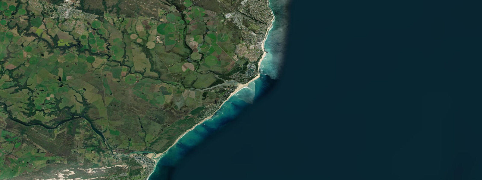
Wilderness is a small Garden Route village between George and Knysna, on a beach at the mouth of the Touw River where the river enters the Indian Ocean through a narrow gap. The beach is 8 km of south-facing Indian Ocean coastline; behind it, the Wilderness Lakes system — a chain of five connected lakes (Eilandvlei, Langvlei, Rondevlei, Swartvlei, and the Touw River estuary) — is one of the most significant estuarine systems in South Africa. Tidal range is semidiurnal with a mean spring range of about 1.4 metres.
The surf at Wilderness is the good-quality Southern Ocean beach break that defines the Garden Route coast. The beach faces south into the Indian Ocean and picks up Southern Ocean groundswell from the Antarctic storm track — clean, powerful waves year-round. Winter (April through August) produces the most organised swell; summer can be smaller but still rideable. Water temperature is cold by beach standards: 16 to 20°C year-round, with the Agulhas Current occasionally pushing warmer water along the coast in summer.
The lakes system behind the beach is one of the most productive kayaking environments in the Western Cape. Kayaking from the river mouth upstream into Eilandvlei and the reed-fringed sections of Langvlei takes a full morning; the waterbird diversity (herons, kingfishers, African fish eagles, secretive rails) is exceptional. The lakes are managed as the Wilderness National Park (SANParks); canoeing and kayaking are permitted throughout. Powerboats are restricted to specific zones and speeds.
The Touw River mouth bar is the defining tidal feature for beach users and kayakers. At low water, the river mouth bar is barely navigable for paddlers and sometimes closed; at high water the connection opens and the tidal exchange flushes the lowest sections of the lake system. The bar position shifts seasonally.
Swimming at Wilderness Beach is popular but requires awareness — the surf is genuine Indian Ocean break, rip currents form between the sand bars, and NSRI data shows this stretch of coast has a disproportionate number of drownings. Swim between the flags at the lifeguarded sections only. The beach is NSRI-patrolled on weekends and school holidays; lifeguards are present daily in peak summer season.
Predictions on this page come from Open-Meteo Marine, a gridded global ocean model. Accuracy is typically within plus or minus 45 minutes on timing and 0.2 to 0.3 metres on height — model-derived, not from a local gauge. For South African tide data, consult SANHO at hydro.navy.mil.za.
Tide questions about Wilderness
Quick answers to the most common questions about tide times, range, and water access at Wilderness.
Is Wilderness beach safe for swimming?
Wilderness has real surf and real rip current risk — it is not a benign beach. Swim between lifeguard flags when they are present (weekends, school holidays, and peak summer daily). Rip currents form in the channels between sand bars; if caught in a rip, swim parallel to shore (south) rather than trying to swim directly back to shore. The NSRI records this stretch of Garden Route coast as above-average drowning risk. The lakes system behind the beach offers a much safer alternative for families.
What is the Wilderness Lakes system?
The Wilderness Lakes is a chain of five connected coastal lakes (Eilandvlei, Langvlei, Rondevlei, Swartvlei, and the Touw River estuary) separated from the Indian Ocean by the beach dune barrier. The system is managed as Wilderness National Park by SANParks. The lakes support diverse waterbirds including African fish eagle, kingfishers (3 species), herons (4 species), and rare halfcollared kingfisher. Kayaking and canoeing are permitted throughout; equipment rental from the park.
Is there surf at Wilderness?
Yes — Wilderness Beach picks up consistent Southern Ocean groundswell from the Antarctic storm track. The beach break has several sand bar peaks that work year-round; winter (April through August) is most consistent with organised south and southwest swell. Water temperature is 16 to 20°C — a 4/3mm wetsuit is the standard year-round. The local surf population is small; the beach doesn't have the crowd pressure of Cape Town surf spots.
What is the tidal range at Wilderness?
Mean spring range at Wilderness is approximately 1.4 metres. The Touw River mouth bar is directly affected — at low water the mouth can partially close or become very shallow, affecting kayak access to the lake system. The best time to paddle from the beach into the lakes is on the incoming tide when the mouth is open and the current assists your entry. At high water the connection between the river and the sea is at its fullest and the lower lake sections flush with fresh tidal exchange.
Can I see African fish eagles at Wilderness?
African fish eagles (Haliaeetus vocifer) are resident on the Wilderness Lakes — their distinctive call ('Africa's sound') is heard throughout the day. They hunt from perches on tall trees overlooking the lake margins, diving on fish at the surface. The best viewing is on a morning kayak through Eilandvlei and Langvlei (the upper sections), where the bird density is highest. The fishing activity peaks at low water when fish are concentrated in the shrinking shallows. Kingfishers — including the malachite, pied, and giant kingfisher — are also present on every section of the lake system.
8-day tide table — Wilderness
Heights relative to MSL. Predictions: Open-Meteo Marine (MeteoFrance SMOC, 0.08° grid) — heights relative to MSL (not chart datum / LAT). Model-derived.
| Day | Type | Time | Height |
|---|---|---|---|
| Fri 19 Jun | Low | 02:00 | -0.8m |
| High | 06:03 | 0.2m | |
| Low | 12:14 | -1.2m | |
| High | 18:40 | 0.3m | |
| Sat 20 Jun | Low | 00:57 | -1.1m |
| High | 07:01 | 0.0m | |
| Low | 12:53 | -1.0m | |
| High | 19:37 | 0.3m | |
| Sun 21 Jun | Low | 01:51 | -0.8m |
| High | 07:51 | 0.1m | |
| Low | 13:48 | -0.8m | |
| High | 20:26 | 0.3m | |
| Mon 22 Jun | Low | 02:56 | -0.7m |
| High | 08:55 | 0.0m | |
| Low | 14:47 | -0.6m | |
| High | 21:25 | 0.3m | |
| Tue 23 Jun | Low | 04:12 | -0.6m |
| High | 10:00 | 0.0m | |
| Low | 16:00 | -0.5m | |
| Wed 24 Jun | High | 23:36 | 0.1m |
| Thu 25 Jun | Low | 06:23 | -0.8m |
| Fri 26 Jun | High | 01:00 | 0.0m |