
Knysna tide times
Knysna tide forecast — heights relative to MSL.
Today's tide times for Knysna
Tide times at Knysna on Friday, 19 June 2026: first low tide at 02:00, first high tide at 06:06, second low tide at 12:15, second high tide at 18:40. Sunrise 07:32, sunset 17:25.
Tide chart for Knysna
24-hour cosine-interpolated curve around the present moment. Heights relative to MSL. Predictions: Predictions: Open-Meteo Marine (MeteoFrance SMOC, 0.08° grid).
Sun, moon and conditions on Fri 19 Jun
Snapshot at build time — refreshes daily. Sea state from Open-Meteo Marine.
Highs and lows next 7 days
Every predicted high and low for the next week, with the daily tidal coefficient (0–120; higher = bigger swing, > 95 means stronger currents).
Other spots nearby
The three closest curated TideTurtle locations to Knysna, measured by great-circle distance.
Today's solunar windows
Solunar tradition: major periods are the ≈3h windows around moon transit and opposition; minor are ≈2h around moonrise and moonset. Pair with the local tide stage and wind for the best read.
Cycle dates near Knysna
Last spring tide on Fri 19 Jun (range 1.4m). Next neap on Tue 23 Jun.
Spring tides cluster around new and full moons (biggest swings). Neap tides land on quarter moons (smallest swings). See the spring tide and neap tide glossary entries for the why.
About tides at Knysna
A short guide to the coastline at Knysna — geography, sea state, and what the tide is actually doing under your feet.
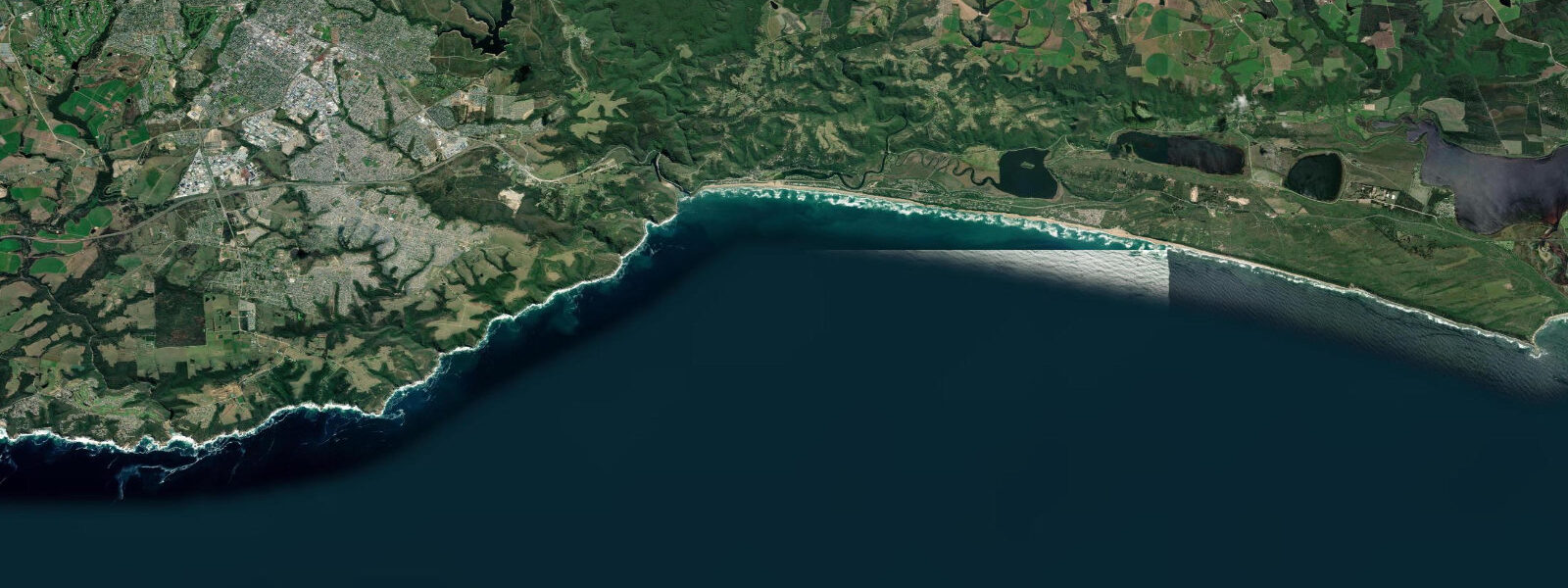
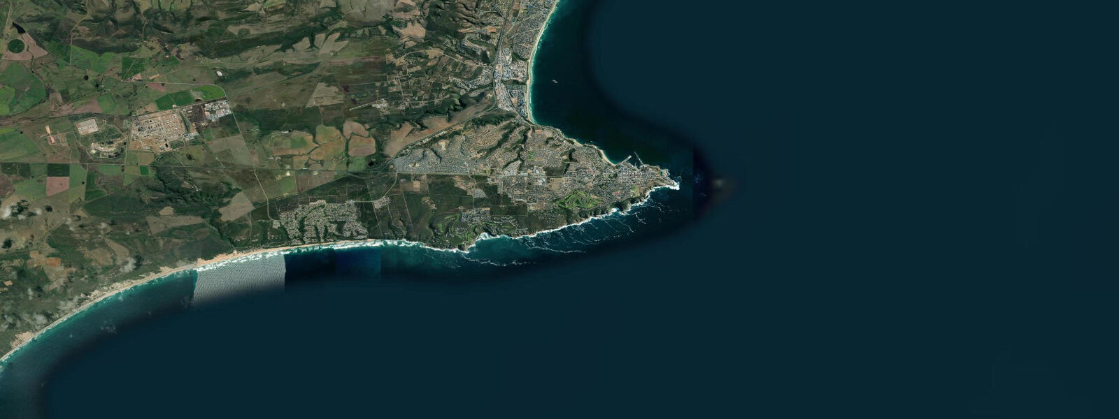
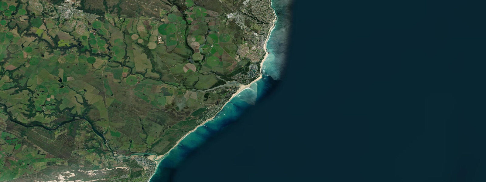
Knysna is on South Africa's Garden Route, 90 kilometres west of Port Elizabeth, where the Knysna Lagoon opens to the Indian Ocean through the Knysna Heads — two sandstone headlands that frame one of the most dramatic natural harbour entrances in southern Africa. The lagoon covers 18 km² and supports an important estuarine ecosystem; the Heads create a notoriously challenging bar crossing. Tidal pattern is semidiurnal with a mean spring range of about 1.6 metres.
The Heads are the defining feature. From the eastern Head (Eastern Head viewpoint, accessible by road), the bar crossing can be observed: the tidal current through the 80-metre gap between the sandstone cliffs runs 3 to 5 knots on spring tides, and Indian Ocean swell pushes through from the south. The combination of current, swell, and the shallow bar has claimed over 40 vessels in documented history. Only the Outeniqua Choo-Tjoe tourist train used to announce bar crossings with a whistle from the headland — the train no longer runs, but local boatmen still time their crossings with precision on the flood.
The lagoon inside is calm, warm (18 to 22°C), and 1 to 3 metres deep in the navigable channels. Kayaking the Knysna Lagoon from the town waterfront to the Heads and back is a full-day paddle with remarkable scenery — the protected lagoon ecosystem includes Knysna seahorses (Hippocampus capensis, critically endangered, found only in a few South African estuaries), mangrove channels, and the oyster beds for which Knysna is famous commercially.
Knysna oysters are grown on suspended culture ropes in the lagoon and are available at the waterfront restaurants and markets. The annual Knysna Oyster Festival in July draws 50,000 visitors over ten days. The oysters are Pacific oysters (Crassostrea gigas) commercially, but the endemic Knysna seahorse lives in the seagrass beds that anchor the lagoon ecosystem.
Surf on the open Indian Ocean coast near Knysna is at the beaches accessible from the Leisure Isle and Brenton-on-Sea — exposed south-facing beaches that pick up Southern Ocean swell. The swell size and cold Agulhas Current water (16 to 19°C) gives the Garden Route coast a challenging surf climate.
Predictions on this page come from Open-Meteo Marine, a gridded global ocean model. Accuracy is typically within plus or minus 45 minutes on timing and 0.2 to 0.3 metres on height — model-derived, not from a local gauge. For South African tide data, consult the South African Navy Hydrographic Office (SANHO) at hydro.navy.mil.za.
Tide questions about Knysna
Quick answers to the most common questions about tide times, range, and water access at Knysna.
What makes the Knysna Heads dangerous?
The Knysna Heads are two sandstone cliffs flanking an 80-metre channel connecting the lagoon to the Indian Ocean. The crossing is dangerous because: tidal current runs 3 to 5 knots through the narrow gap; Indian Ocean swell pushes through from the south; and the bar (shallow sand bank at the entrance) shifts seasonally. The combination of current and swell creates unpredictable breaking seas in the crossing zone. The NSRI (National Sea Rescue Institute) advises small boats only to cross on the flood tide in settled, swell-free conditions.
What is the tidal range at Knysna?
Mean spring range at Knysna Lagoon is approximately 1.6 metres. The lagoon's tidal exchange is concentrated through the narrow Heads entrance, producing the strong current that makes the bar crossing challenging. Inside the lagoon, the tidal effect is felt throughout but the water level change is more gradual. Low water in the lagoon exposes the seagrass beds and oyster reef sections; high water allows deeper-draught boats to navigate further into the upper lagoon.
Can I see Knysna seahorses?
Knysna seahorses (Hippocampus capensis) are critically endangered and found only in a few South African estuaries — Knysna Lagoon, Swartvlei, and Keurbooms River. The seahorses live in the seagrass beds in 0.5 to 4 metres of water; they're camouflaged and extremely difficult to spot without guided snorkelling. The Featherbed Nature Reserve (western side of the lagoon, accessible only by ferry) has the most protected seagrass habitat. Guided snorkel tours specifically looking for seahorses operate from the Knysna waterfront.
What is the Knysna Oyster Festival?
The Knysna Oyster Festival runs for 10 days in July, centred on the Waterfront Market and the township oyster bars. It's South Africa's largest food festival by attendance — approximately 50,000 visitors. Events include oyster-eating competitions, chef demonstrations, craft markets, and cycle race (the Momentum 947 Knysna Cycle Tour). Knysna Pacific oysters are grown in the lagoon on suspended ropes; the festival sells them by the dozen from multiple vendors at competitive prices.
Is kayaking in Knysna Lagoon accessible for beginners?
The lagoon interior is calm and suitable for beginner kayakers and stand-up paddleboarders. The main caution is the tidal current near the Heads — do not paddle into the entrance channel. The paddle from the Knysna Waterfront to Leisure Isle and around the inner lagoon is about 8 km and accessible to casual paddlers. The mangrove channels on the western shore (accessible by turning left after Leisure Isle) are narrow and quiet, excellent for wildlife viewing. Kayak and SUP rental from several waterfront operators.
6-day tide table — Knysna
Heights relative to MSL. Predictions: Open-Meteo Marine (MeteoFrance SMOC, 0.08° grid) — heights relative to MSL (not chart datum / LAT). Model-derived.
| Day | Type | Time | Height |
|---|---|---|---|
| Fri 19 Jun | Low | 02:00 | -0.8m |
| High | 06:06 | 0.2m | |
| Low | 12:15 | -1.2m | |
| High | 18:40 | 0.2m | |
| Sat 20 Jun | Low | 00:58 | -1.1m |
| High | 07:06 | 0.0m | |
| Low | 12:53 | -1.0m | |
| High | 19:38 | 0.3m | |
| Sun 21 Jun | Low | 01:54 | -0.7m |
| High | 07:53 | 0.1m | |
| Low | 13:50 | -0.8m | |
| Mon 22 Jun | High | 08:57 | 0.0m |
| Low | 14:52 | -0.6m | |
| High | 21:25 | 0.2m | |
| Tue 23 Jun | Low | 04:12 | -0.6m |
| High | 10:06 | 0.0m | |
| Wed 24 Jun | Low | 05:37 | -0.6m |
| High | 23:36 | 0.1m |