Anse Source d'Argent tide times
Anse Source d'Argent tide forecast — heights relative to MSL.
Today's tide times for Anse Source d'Argent
Tide times at Anse Source d'Argent on Sunday, 21 June 2026: first low tide at 04:00am, first high tide at 09:16am, second low tide at 03:04pm, second high tide at 08:47pm. Sunrise 06:22am, sunset 06:14pm.
Tide chart for Anse Source d'Argent
24-hour cosine-interpolated curve around the present moment. Heights relative to MSL. Predictions: Predictions: Open-Meteo Marine (MeteoFrance SMOC, 0.08° grid).
Sun, moon and conditions on Sun 21 Jun
Snapshot at build time — refreshes daily. Sea state from Open-Meteo Marine.
Highs and lows next 7 days
Every predicted high and low for the next week, with the daily tidal coefficient (0–120; higher = bigger swing, > 95 means stronger currents).
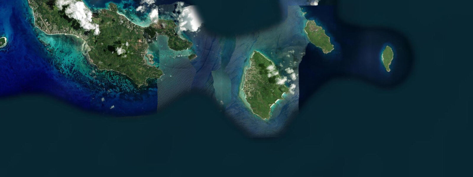
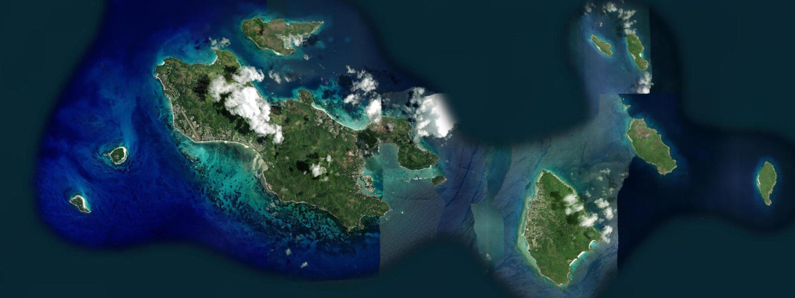
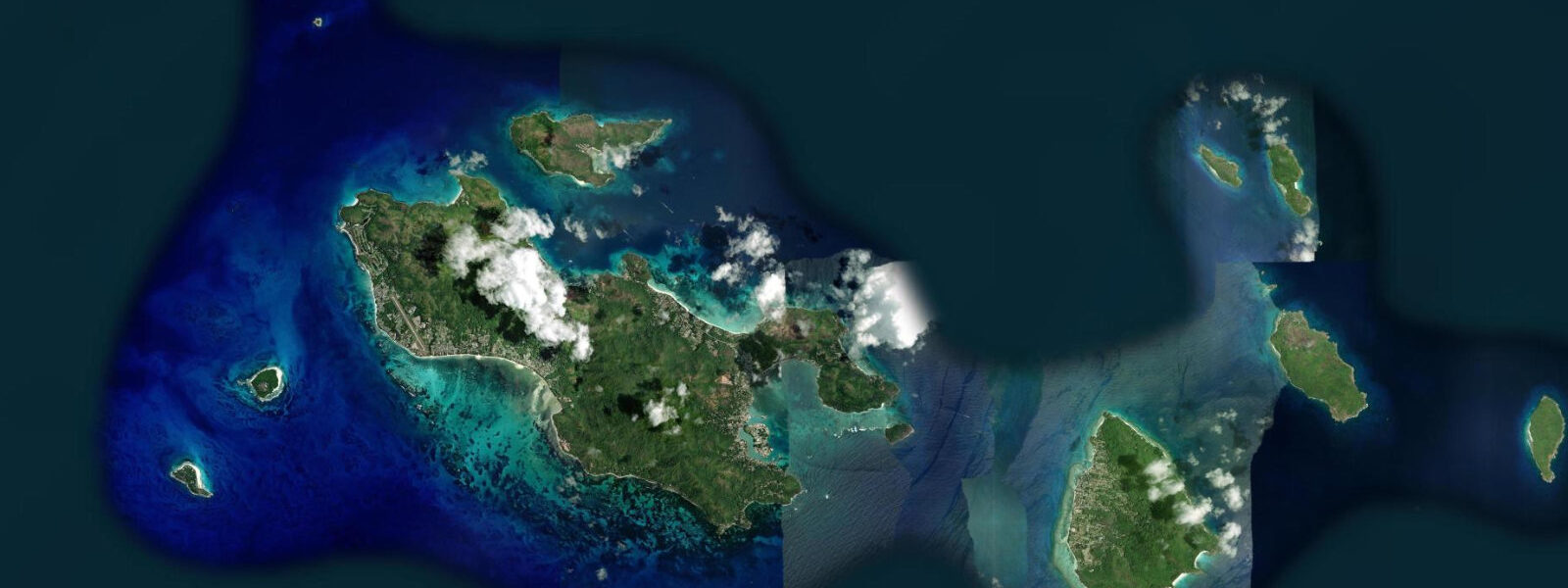
Other spots nearby
The three closest curated TideTurtle locations to Anse Source d'Argent, measured by great-circle distance.
Today's solunar windows
Solunar tradition: major periods are the ≈3h windows around moon transit and opposition; minor are ≈2h around moonrise and moonset. Pair with the local tide stage and wind for the best read.
Cycle dates near Anse Source d'Argent
Next spring tide on Sat 27 Jun (range 1.0m). Next neap on Wed 24 Jun.
Spring tides cluster around new and full moons (biggest swings). Neap tides land on quarter moons (smallest swings). See the spring tide and neap tide glossary entries for the why.
About tides at Anse Source d'Argent
A short guide to the coastline at Anse Source d'Argent — geography, sea state, and what the tide is actually doing under your feet.
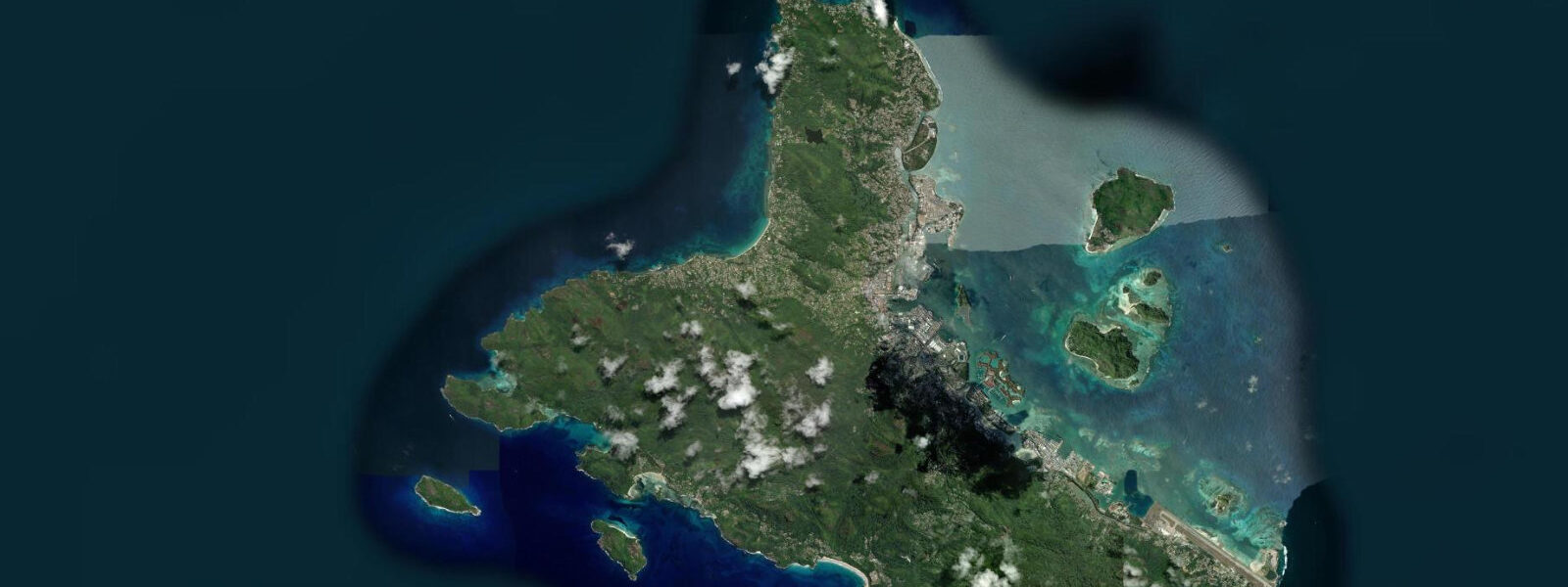
Anse Source d'Argent on the west coast of La Digue is the defining image of the Seychelles for most of the world. The giant pink and orange granite boulders — some 3–5 m high, arranged in the irregular formations that mark the Seychelles' ancient Precambrian bedrock — surround a shallow inner lagoon of turquoise water over white sand. The beach appears on the covers of a disproportionate share of travel magazines and is widely cited as the most-photographed beach on the planet. It sits inside the L'Union Estate, a former copra and vanilla plantation that charges an entry fee at the gate.
The tidal regime at Anse Source d'Argent is mixed predominantly diurnal, consistent with La Digue's position in the inner granitic Seychelles. Spring range: 0.9–1.2 m above chart datum. Neap range: 0.3–0.5 m. The small range interacts with the very shallow inner lagoon to create dramatically different experiences at different tidal states. At mean water level, the lagoon between the boulders is 0.5–1.2 m deep — an excellent wading and shallow-swimming depth. At low spring water (the water dropping 0.6–0.9 m below mean), the innermost sections of the lagoon between the largest boulder groupings become ankle-deep or completely dry. At high spring water, the lagoon fills to 1.0–1.8 m, covering the lowest granite ledges and producing the most intensely turquoise colour in the water.
For photography, the two tidal states serve different purposes. Low water exposes the full base of the granite formations and the inter-boulder sand flats — the foreground is clean sand and exposed rock, and the visual depth of the boulder composition is at its maximum. High water fills the lagoon between the boulders, creating the mirror-like turquoise reflections and depth of colour in the pools that characterise the most iconic images of this beach. Photographers chasing both effects in a single visit need to plan around the tide table and arrive either at low water (for the exposed-boulder foreground) or the rising tide approaching high water (for the colour and reflection).
The mixed diurnal regime on La Digue means the timing of the day's high and low water varies substantially through the lunar month. Some days have a morning low and an afternoon high; others have an early high and a late-morning low. On days when only one dominant tidal cycle occurs, the beach may spend most of the day at intermediate depth — neither the dramatic low-water boulder exposure nor the full high-water colour. Check the tide table the evening before.
Swimming inside the lagoon at Anse Source d'Argent is comfortable at or near high water, when the depth between the boulder groupings reaches 1.0–1.5 m. At low water the inner sections are too shallow for swimming and walking with fins is impractical — the sand is firm and the water is 0.1–0.3 m deep in the innermost areas. The outer edge of the lagoon, toward the reef opening to the west, deepens to 1.5–2.5 m at mean water and is more consistently swimmable throughout the tidal cycle. Hawksbill turtles (Eretmochelys imbricata) are frequently observed in the lagoon; the beach and surrounding waters are within La Digue's informal marine conservation zone.
La Digue is reached by ferry from Praslin (15 minutes by the inter-island Cat Rose service) or from Mahé (approximately 2.5 hours by the direct service). From La Digue's landing jetty at La Passe, Anse Source d'Argent is 2.5 km south by bicycle — the standard transport on La Digue, where motorised vehicles for visitors are restricted. Bicycle hire is available at the jetty from SCR 100 per day. L'Union Estate entry fee (approximately SCR 115 per adult) is payable at the estate gate; the beach is a further 10-minute walk or bicycle ride through the estate grounds.
Predictions for Anse Source d'Argent on this page come from Open-Meteo Marine, a gridded global ocean model; accuracy is typically ±45 minutes on timing and ±0.2–0.3 m on height.
Tide questions about Anse Source d'Argent
Quick answers to the most common questions about tide times, range, and water access at Anse Source d'Argent.
What is the best tidal state for photography at Anse Source d'Argent?
Two tidal windows serve different photographic goals. For the exposed-boulder composition — granite bases fully visible, inter-boulder sand flats dry and textured — arrive at low spring water (spring range 0.9–1.2 m), roughly 30 minutes before the predicted low. The foreground is maximally detailed and the water line is pulled back from the base of the formations. For the colour-and-reflection shot — the saturated turquoise of a full lagoon between boulders — arrive on the rising tide approaching high water. The lagoon fills to 1.0–1.8 m and the colour is most intense when the sun is high (10:00–14:00) and the water is clear. The mixed diurnal regime means these windows may be morning or afternoon depending on the lunar phase; check the tide table the evening before.
Can you swim at Anse Source d'Argent?
Swimming inside the inner lagoon is practical at and around high water, when the depth between the granite boulder groupings reaches 1.0–1.5 m. At low water the innermost sections shallows to 0.1–0.3 m — wading territory, not swimming. The outer edge of the lagoon, where the reef meets the open water to the west, is 1.5–2.5 m deep at mean water level and more consistently swimmable through the tidal cycle. The reef edge has moderate current during the tidal change; the inner lagoon is calm at all states. Hawksbill turtles are regularly present; maintain a 3 m distance as required under Seychelles wildlife law. No swimming aids or flotation devices are for hire at the beach itself.
How do I get to Anse Source d'Argent from Mahé?
The standard route is Mahé → Praslin by Cat Cocos catamaran (55–65 minutes, three to four daily), then Praslin → La Digue by the inter-island Cat Rose ferry (15 minutes, multiple daily). From La Digue's landing jetty at La Passe, hire a bicycle (SCR 100/day, available at the jetty) and ride 2.5 km south to L'Union Estate. Pay the estate entry fee at the gate (approximately SCR 115 per adult), then continue 10 minutes by bicycle or foot to the beach. Allow 3.5–4 hours total from Victoria (Mahé). Check the combined Cat Cocos/Cat Rose timetable and buy tickets in advance during July–August peak season.
Is there a fee to enter Anse Source d'Argent?
Yes. The beach is inside L'Union Estate, which charges an entry fee at the estate gate. The fee was approximately SCR 115 per adult as of 2025; confirm the current rate at the Cat Cocos / inter-island ferry booking office in Victoria, at your hotel, or at the L'Union Estate gate itself. The fee covers access to the estate grounds, which include the vanilla plantation ruins, the giant tortoise pen (home to Aldabra giant tortoises, Aldabrachelys gigantea), and the beach. There is no additional beach fee beyond the estate entry. The estate is open daily approximately 07:00–18:00.
What is the tidal range at Anse Source d'Argent and how does it change the lagoon?
Spring range at Anse Source d'Argent is 0.9–1.2 m above chart datum; neap range 0.3–0.5 m. The effect on the lagoon is dramatic relative to the small absolute range because the lagoon floor is nearly flat and very shallow. On a 1.1 m spring low tide, sections of the inner lagoon that were 0.8–1.0 m deep at high water are reduced to 0.1–0.3 m or exposed sand. On a neap day, the same transition covers only 0.3–0.4 m of depth — barely perceptible in the outer lagoon but still enough to change the character of the inner shallows. The tide times follow the mixed predominantly diurnal pattern of the inner Seychelles; some days produce only one high-low cycle. Open-Meteo Marine predictions carry ±45 minutes / ±0.2–0.3 m accuracy.
8-day tide table — Anse Source d'Argent
Heights relative to MSL. Predictions: Open-Meteo Marine (MeteoFrance SMOC, 0.08° grid) — heights relative to MSL (not chart datum / LAT). Model-derived.
| Day | Type | Time | Height |
|---|---|---|---|
| Sun 21 Jun | Low | 04:00 | -0.2m |
| High | 09:16 | 0.5m | |
| Low | 15:04 | 0.0m | |
| High | 20:47 | 0.5m | |
| Mon 22 Jun | — | ||
| Tue 23 Jun | Low | 04:20 | -0.1m |
| High | 11:37 | 0.7m | |
| Low | 18:10 | 0.1m | |
| High | 23:00 | 0.3m | |
| Wed 24 Jun | Low | 05:10 | -0.1m |
| Thu 25 Jun | High | 00:42 | 0.2m |
| Low | 06:06 | -0.1m | |
| High | 13:22 | 0.7m | |
| Low | 20:40 | -0.1m | |
| Fri 26 Jun | High | 01:54 | 0.2m |
| Low | 07:06 | -0.1m | |
| High | 14:10 | 0.8m | |
| Low | 21:22 | -0.1m | |
| Sat 27 Jun | High | 02:54 | 0.2m |
| Low | 07:55 | -0.1m | |
| High | 14:52 | 0.8m | |
| Low | 22:00 | -0.2m | |
| Sun 28 Jun | High | 03:00 | 0.3m |