Victoria Harbour tide times
Victoria Harbour tide forecast — heights relative to MSL.
Today's tide times for Victoria Harbour
Tide times at Victoria Harbour on Sunday, 21 June 2026: first low tide at 04:00am, first high tide at 09:16am, second low tide at 03:10pm, second high tide at 09:00pm. Sunrise 06:24am, sunset 06:15pm.
Tide chart for Victoria Harbour
24-hour cosine-interpolated curve around the present moment. Heights relative to MSL. Predictions: Predictions: Open-Meteo Marine (MeteoFrance SMOC, 0.08° grid).
Sun, moon and conditions on Sun 21 Jun
Snapshot at build time — refreshes daily. Sea state from Open-Meteo Marine.
Highs and lows next 7 days
Every predicted high and low for the next week, with the daily tidal coefficient (0–120; higher = bigger swing, > 95 means stronger currents).
Other spots nearby
The three closest curated TideTurtle locations to Victoria Harbour, measured by great-circle distance.
Today's solunar windows
Solunar tradition: major periods are the ≈3h windows around moon transit and opposition; minor are ≈2h around moonrise and moonset. Pair with the local tide stage and wind for the best read.
Cycle dates near Victoria Harbour
Next spring tide on Sat 27 Jun (range 1.1m). Next neap on Wed 24 Jun.
Spring tides cluster around new and full moons (biggest swings). Neap tides land on quarter moons (smallest swings). See the spring tide and neap tide glossary entries for the why.
About tides at Victoria Harbour
A short guide to the coastline at Victoria Harbour — geography, sea state, and what the tide is actually doing under your feet.
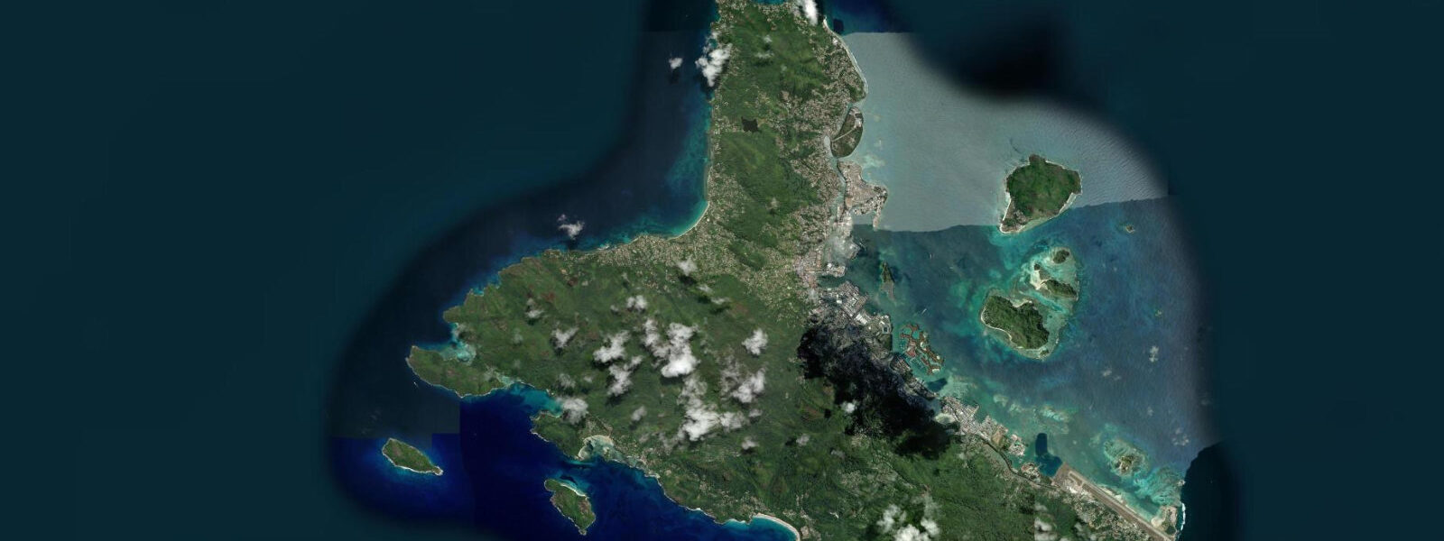
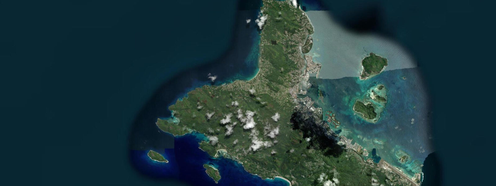
Victoria is the capital and only city of the Seychelles Republic, home to approximately 28,000 of the country's 100,000 residents, sitting on the northeast coast of Mahé at the foot of the Trois Frères mountain ridge. Port Victoria — the harbour — is the operational centre of everything that moves between the islands: inter-island ferries, fishing vessels, cargo ships, and the private charter fleet.
The Victoria Harbour tide gauge is the reference instrument for the entire inner granitic Seychelles group. Operated by the Seychelles Meteorological Authority (SMA) and linked to the Indian Ocean Sea Level Observing System (SEALEVEL/GLOSS), it publishes the harmonic constants from which all official tide predictions for the Mahé group are computed. Spring range at the Victoria gauge: 0.9–1.4 m above chart datum. Neap range: 0.3–0.5 m. Regime: mixed predominantly diurnal — on some days through the lunar month, particularly near the June and December solstices, the diurnal component dominates and the harbour sees one distinct high and one distinct low per day rather than two of each.
The Cat Cocos high-speed catamaran service to Praslin departs Victoria's inter-island ferry terminal three to four times daily; the voyage takes 55–65 minutes depending on sea state. La Digue is reached via the Praslin connection. The smaller island schooners and cargo vessels depart from the commercial wharf adjacent to the terminal. The approach channel into Port Victoria is dredged and maintained at depths sufficient for the vessels using it at all tidal states given the relatively modest range; the dredging requirement is primarily for the larger cargo ships rather than for inter-island ferries, which draw less than 2 m.
The Sir Selwyn Selwyn-Clarke Market, the central market of the Seychelles, sits on the eastern edge of Victoria approximately 300 m from the ferry terminal. The market opens at first light — typically 06:00 — and the freshest catches arrive from the fishing pier alongside the market between 05:30 and 07:30, before the day's heat begins. Vendors selling freshly landed red snapper, grouper, bourgeois (Lethrinus mahsena), and the various trevally species set up on the south side of the market building. The fishing boat activity correlates loosely with the tide: vessels returning to port on the last of the flood run in with the current behind them, while those working the banks off the northeast coast time departures for the early ebb when current sets favourably northeast.
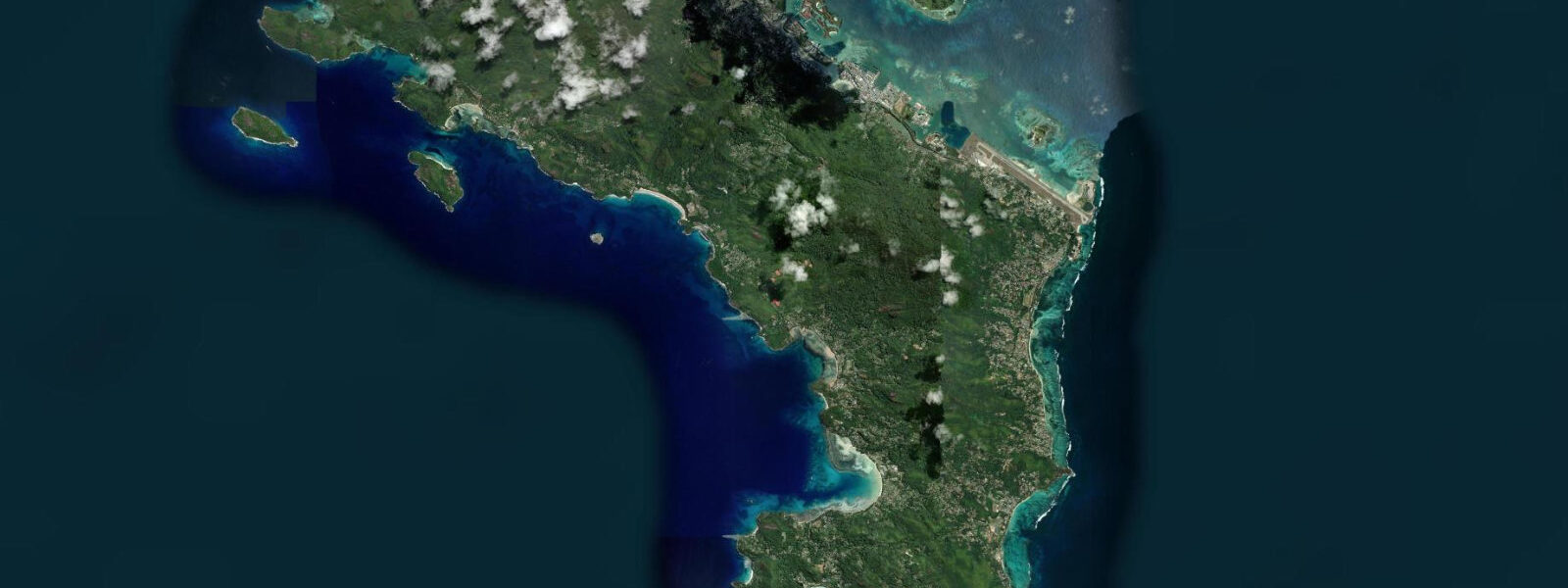
For kayakers and small-boat operators using the Victoria waterfront, the main current hazard is ferry wash and commercial vessel traffic rather than tidal current; the tidal stream through the main harbour is modest (typically less than 0.5 knots) given the sheltered position behind Mahé's reef and the small tidal range. The Beau Vallon side of the island, accessible by road over the Col de la Montagne pass (altitude 440 m), is the main alternative launch point for kayak touring on the northwest coast.
Photographers and visitors with limited time should plan a Victoria morning: market at 06:00–07:30, fishing pier catch landing, then the clocktower replica of the one in Vauxhall, London (a Victorian-era landmark at the centre of town), and the Natural History Museum adjacent to the market. The tidal state for this itinerary is irrelevant — all of these activities are land-side. Water-level planning matters only if the aim is to photograph the fishing boats at the pier: at low spring water (range 1.2–1.4 m), the hulls sit below the pier deck level and make a better composition than at high water when the freeboard is minimal.
Predictions for Victoria Harbour on this page come from Open-Meteo Marine, a gridded global ocean model; accuracy is typically ±45 minutes on timing and ±0.2–0.3 m on height. For precise navigational planning, use the SMA published harmonic tide tables for Victoria Harbour directly.
Tide questions about Victoria Harbour
Quick answers to the most common questions about tide times, range, and water access at Victoria Harbour.
Does the tide affect the Victoria ferry schedule?
The Cat Cocos inter-island catamaran and the cargo vessels using Port Victoria operate on fixed timetables regardless of tidal state. The harbour approach channel is dredged to a depth that gives adequate clearance for all vessels using it at any tidal stage within the Seychelles spring range of 0.9–1.4 m. Weather and sea state affect the ferry schedule far more than tide: during the NW monsoon season (December–March), heavy northwesterly swell occasionally delays or suspends inter-island services when sea height in the open water between the islands exceeds operational limits. Check the Cat Cocos website or call the terminal the morning of travel during the monsoon period.
What is the best time to visit the fish market at Victoria?
The Sir Selwyn Selwyn-Clarke Market is most active from 05:30 to 08:00, when fishing vessels returning from overnight or dawn trips land their catch at the pier adjacent to the market's south side. The market officially opens at 06:00; the fish vendor section on the south side is the first to fill. By 09:30 the best catch is sold and the market transitions to a more tourist-oriented pace. The tidal state at landing time is a minor factor — boats return when the trip is done — but vessels working banks to the northeast tend to depart on the ebb and return on the flood. A visit between 06:30 and 07:30 reliably catches active trading regardless of tide.
Where do the tide predictions for Victoria Harbour come from?
Predictions on this page come from Open-Meteo Marine, a gridded global ocean model with typical accuracy of ±45 minutes on timing and ±0.2–0.3 m on height. The Victoria Harbour gauge, operated by the Seychelles Meteorological Authority (SMA) and linked to the SEALEVEL/GLOSS Indian Ocean observing network, is the authoritative instrument for the inner Seychelles. The SMA publishes annual harmonic tide tables for Victoria, and these are the reference for the Mahé group. For operations that require precision — charter boat scheduling, cargo mooring calculations — use the SMA tables.
Is the tidal current strong in Victoria Harbour?
No. The tidal stream through the main port area is typically less than 0.5 knots, constrained by the sheltered position of the harbour behind Mahé's reef line and the modest spring range of 0.9–1.4 m. The practical current hazard in Victoria Harbour is ferry wash and commercial vessel traffic — a 65 m catamaran making 28 knots through the inner harbour creates a significant wake. Kayakers, paddleboarders, and dinghies should stay well clear of the ferry approach line when the Cat Cocos service is operating. The SMA and the Port Authority publish harbour notices for all scheduled and exceptional vessel movements.
Is Victoria Harbour safe to use for navigation by private boats?
No tide prediction page, including this one, should be used for vessel navigation. Port Victoria is a working commercial and inter-island port subject to a Traffic Separation Scheme and mandatory pilotage requirements for vessels above certain dimensions. The harbour authority (Seychelles Ports Authority) regulates all vessel movements and requires prior notification. Open-Meteo Marine gridded predictions are not gauge-calibrated harmonic data and are not suitable for navigational decisions. For navigation in Seychelles waters, use the British Admiralty charts (UKHO) or French SHOM charts for the Indian Ocean Seychelles region, and consult SMA published harmonic predictions.
8-day tide table — Victoria Harbour
Heights relative to MSL. Predictions: Open-Meteo Marine (MeteoFrance SMOC, 0.08° grid) — heights relative to MSL (not chart datum / LAT). Model-derived.
| Day | Type | Time | Height |
|---|---|---|---|
| Sun 21 Jun | Low | 04:00 | -0.3m |
| High | 09:16 | 0.6m | |
| Low | 15:10 | -0.0m | |
| High | 21:00 | 0.6m | |
| Mon 22 Jun | Low | 03:36 | -0.3m |
| High | 10:22 | 0.6m | |
| Tue 23 Jun | Low | 04:22 | -0.2m |
| High | 23:18 | 0.3m | |
| Wed 24 Jun | Low | 05:20 | -0.1m |
| Thu 25 Jun | High | 00:40 | 0.3m |
| Low | 06:20 | -0.1m | |
| High | 13:24 | 0.8m | |
| Fri 26 Jun | Low | 07:15 | -0.1m |
| High | 14:13 | 0.8m | |
| Low | 21:22 | -0.2m | |
| Sat 27 Jun | High | 02:52 | 0.3m |
| Low | 08:07 | -0.1m | |
| High | 15:00 | 0.9m | |
| Low | 21:55 | -0.3m | |
| Sun 28 Jun | High | 03:00 | 0.3m |