Beau Vallon tide times
Beau Vallon tide forecast — heights relative to MSL.
Today's tide times for Beau Vallon
Tide times at Beau Vallon on Sunday, 21 June 2026: first low tide at 04:00am, first high tide at 09:16am, second low tide at 03:10pm, second high tide at 09:00pm. Sunrise 06:24am, sunset 06:15pm.
Tide chart for Beau Vallon
24-hour cosine-interpolated curve around the present moment. Heights relative to MSL. Predictions: Predictions: Open-Meteo Marine (MeteoFrance SMOC, 0.08° grid).
Sun, moon and conditions on Sun 21 Jun
Snapshot at build time — refreshes daily. Sea state from Open-Meteo Marine.
Highs and lows next 7 days
Every predicted high and low for the next week, with the daily tidal coefficient (0–120; higher = bigger swing, > 95 means stronger currents).
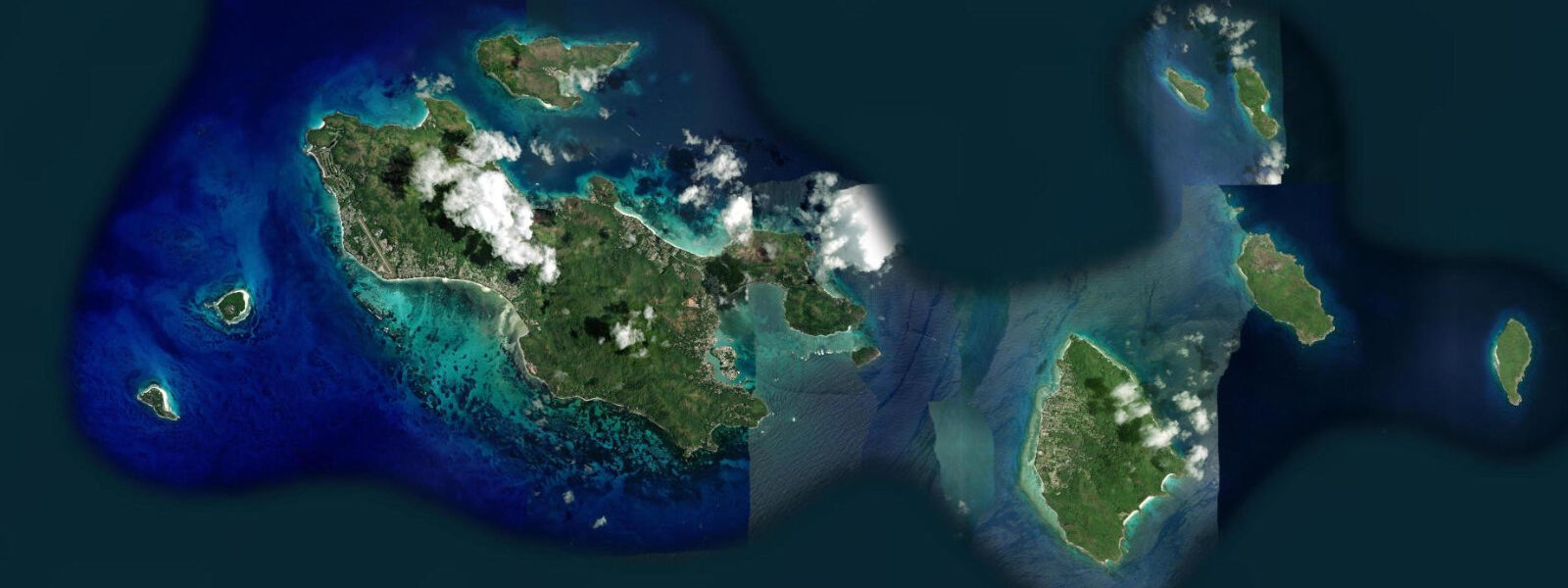
Other spots nearby
The three closest curated TideTurtle locations to Beau Vallon, measured by great-circle distance.
Today's solunar windows
Solunar tradition: major periods are the ≈3h windows around moon transit and opposition; minor are ≈2h around moonrise and moonset. Pair with the local tide stage and wind for the best read.
Cycle dates near Beau Vallon
Next spring tide on Sat 27 Jun (range 1.1m). Next neap on Wed 24 Jun.
Spring tides cluster around new and full moons (biggest swings). Neap tides land on quarter moons (smallest swings). See the spring tide and neap tide glossary entries for the why.
About tides at Beau Vallon
A short guide to the coastline at Beau Vallon — geography, sea state, and what the tide is actually doing under your feet.
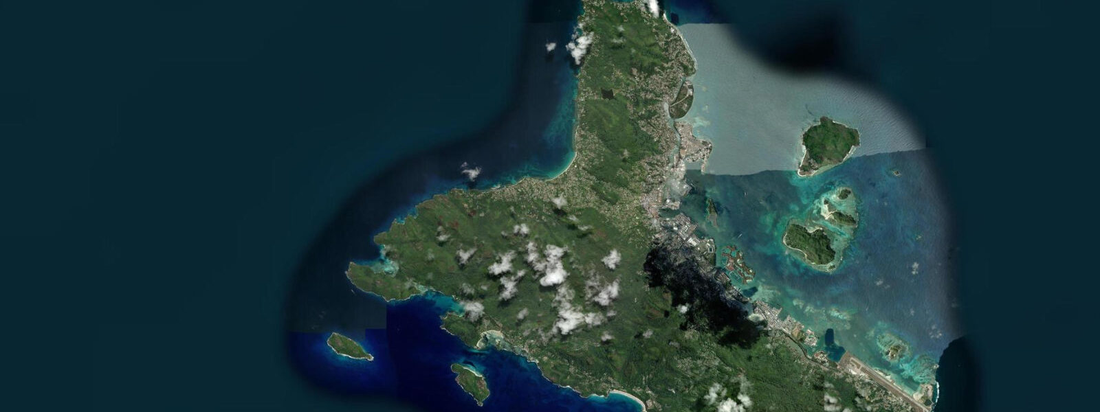
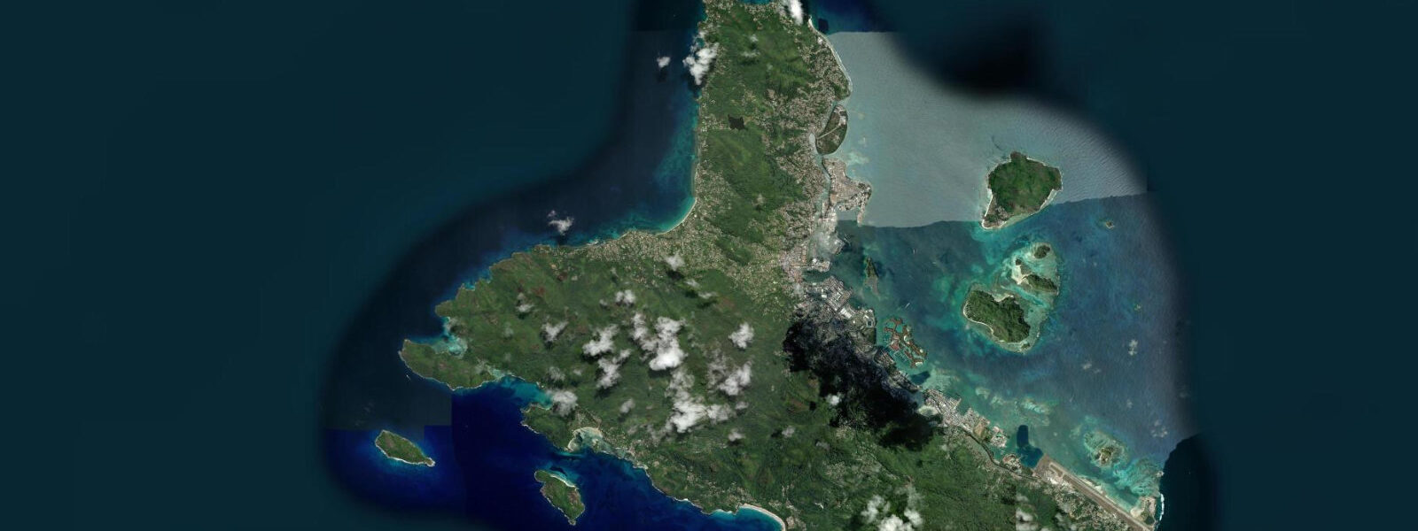
Beau Vallon Bay sits on the northwest coast of Mahé, the largest island in the Seychelles, opening across roughly 2 km of white sand toward the open Indian Ocean at a bearing of approximately 330°. The beach is framed by granite headlands — the rocky point of Glacis to the northeast and the wooded headland of Bel Ombre to the southwest — and backed by a coastal road lined with casuarina trees, hotels, restaurants, and the main supermarket for the northwest of the island.
The tidal regime at Beau Vallon is mixed predominantly diurnal. On a standard spring day, two highs and two lows occur, with the spring range reaching 0.9–1.4 m above chart datum. On days near the solstices or particular lunar phases, however, the diurnal component dominates and the bay sees only a single clear high-low cycle — the water level barely moving for six or more hours near one extreme. Mean water level at Victoria Harbour (the reference station 8 km southeast) is the standard datum for the inner granitic islands; Beau Vallon tracks Victoria with a lag of less than ten minutes and no significant range difference.
The northwest coast of Mahé is the calm side during the SE trade-wind season from May through October. During this period the trades arrive from the southeast and are blocked by the island's central granite spine; Beau Vallon Bay often has glassy or lightly rippled water by early morning, with the first diurnal sea breeze arriving from the northwest around 10:00–11:00. Morning high water during this season brings the clearest visibility conditions for snorkelling: the fringing reef patches immediately north of Beau Vallon, off the coast at Glacis (roughly 400 m north of the main beach arc, GPS 4.600°S, 55.427°E), are covered to 0.8–1.2 m at mean high water, exposing coral heads and fish habitat that are too shallow to approach at neap low water.
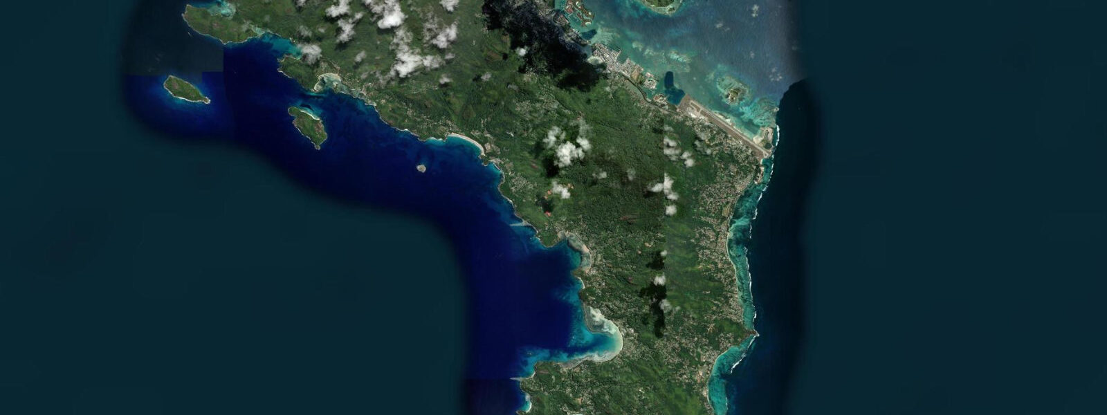
During the NW monsoon from December through March, the orientation that makes Beau Vallon so calm in the trade-wind season becomes a liability. The bay faces northwest directly into the arriving monsoon fetch; short-period chop of 0.5–1.0 m is common, and the water turns turbid as suspended sediment is stirred from the beach face. Snorkelling visibility drops and the swim conditions become less consistent. The southeast beaches of Mahé — Anse Intendance, Anse Soleil, Anse Takamaka — are the calmer alternative during those months.
For anglers, the best windows at Beau Vallon are the last two hours of the rising tide and the first hour of the ebb, when current across the reef patches concentrates baitfish and draws the larger predators — jacks, barracuda, and surgeonfish working the reef edges. The mixed diurnal pattern means these windows sometimes occur only once in a 24-hour period; check the tide table the evening before to identify whether the following day offers a morning or afternoon prime window.
Beach walkers use the full 2 km arc on any tide state, since the sand slope is moderate and the beach retains width even at high spring water. At low spring tide (range 1.3 m), the water line retreats approximately 15–20 m from its high-water position and the lower beach firms up: walkable on bare feet without sinking. Photographers get the longest shadow angles for the white sand and turquoise water during the first two hours after sunrise; the mountain silhouette of Mahé's ridge appears behind the beach from positions south of the Berjaya resort.
The Seychelles Meteorological Authority (SMA) operates a tide gauge at Victoria Harbour. Predictions for Beau Vallon on this page come from Open-Meteo Marine, a gridded global ocean model; accuracy is typically ±45 minutes on timing and ±0.2–0.3 m on height. For mooring or charter operations, consult SMA published tide tables directly.
Tide questions about Beau Vallon
Quick answers to the most common questions about tide times, range, and water access at Beau Vallon.
When is the best time to snorkel the reef at Beau Vallon?
The reef patches north of Beau Vallon, off the Glacis coast, are most accessible in the two hours either side of high water, when the coral heads carry 0.8–1.2 m of water above them. At low neap tide (range 0.3–0.5 m) the shallowest sections can be as little as 0.2 m deep — uncomfortable to cross without damaging coral. Morning high water between May and October provides the best combination: calm NW-coast conditions, incoming light from the east, and covered reef. Check whether the day has one or two high waters (the mixed diurnal pattern sometimes produces only one), and plan the snorkel session for the first high rather than the second, which may be smaller. Visibility is typically 8–15 m on calm days.
How does the monsoon affect tides and beach conditions at Beau Vallon?
The tide range itself does not change with the monsoon — the astronomically driven spring range of 0.9–1.4 m and the neap range of 0.3–0.5 m are consistent year-round. What the monsoon controls is the sea state and the beach character. From May through October the SE trades are blocked by Mahé's central ridge; Beau Vallon Bay is calm, the water is clear, and the beach face builds slightly as onshore sediment movement is minimal. From December through March the NW monsoon drives short-period chop directly into the northwest-facing bay. The beach face can erode 2–4 m during sustained NW monsoon episodes. If visiting in the NW monsoon window, the SE-coast beaches of Mahé are the practical alternative for calm water.
Where do the tide predictions for Beau Vallon come from?
Predictions on this page come from Open-Meteo Marine, a free gridded global ocean model that estimates tidal height from a geographic grid rather than from harmonic analysis of a local gauge record. The accuracy ceiling is typically ±45 minutes on timing and ±0.2–0.3 m on height. The authoritative reference for Seychelles tides is the Victoria Harbour gauge operated by the Seychelles Meteorological Authority (SMA); the SMA publishes annual tide tables for Victoria, and Beau Vallon tracks Victoria with less than 10 minutes lag and no material range difference. For any operation that depends on precise water level — vessel berthing, reef transit under the keel — use the SMA published tables.
Is the mixed diurnal tide at Beau Vallon different from the tides I know from Europe?
Yes, significantly. Most European Atlantic coasts have a semidiurnal regime: two near-equal highs and two near-equal lows per day. At Beau Vallon and throughout the inner Seychelles, the regime is mixed predominantly diurnal. On many days — particularly near the solstices — only one high and one low occur, the water level holding near its extreme for four to six hours before reversing. Even on days with two cycles, the two highs and two lows are often markedly unequal in height. The practical effect: a morning plan to snorkel at high water may find no second high water that afternoon. Reading the tide table the night before (rather than assuming a predictable 6-hour cycle) is the most reliable planning habit at this latitude.
Is it safe to swim at Beau Vallon?
Beau Vallon is the main organised beach on Mahé and has the most consistent lifeguard presence of any Seychelles beach, typically on weekends and public holidays. The bay is sheltered from strong current during the SE trade season, and the absence of a fringing reef immediately in front of the beach means there is no reef flat to navigate. During the NW monsoon, short-period chop reduces swim comfort and the beach is less frequently guarded. The tide range of 0.9–1.4 m spring means depth at the swim zone changes by roughly 0.8–1.0 m through the day — shallow enough at low water that the sandy bottom is visible from the surface 10–15 m out, with no navigation hazard. There is no bar or rip structure that is systematically dangerous, but ocean awareness and checking posted conditions at the beach remains good practice.
8-day tide table — Beau Vallon
Heights relative to MSL. Predictions: Open-Meteo Marine (MeteoFrance SMOC, 0.08° grid) — heights relative to MSL (not chart datum / LAT). Model-derived.
| Day | Type | Time | Height |
|---|---|---|---|
| Sun 21 Jun | Low | 04:00 | -0.3m |
| High | 09:16 | 0.6m | |
| Low | 15:10 | -0.0m | |
| High | 21:00 | 0.6m | |
| Mon 22 Jun | Low | 03:36 | -0.3m |
| High | 10:22 | 0.6m | |
| Tue 23 Jun | Low | 04:22 | -0.2m |
| High | 23:18 | 0.3m | |
| Wed 24 Jun | Low | 05:20 | -0.1m |
| Thu 25 Jun | High | 00:40 | 0.3m |
| Low | 06:20 | -0.1m | |
| High | 13:24 | 0.8m | |
| Fri 26 Jun | Low | 07:15 | -0.1m |
| High | 14:13 | 0.8m | |
| Low | 21:22 | -0.2m | |
| Sat 27 Jun | High | 02:52 | 0.3m |
| Low | 08:07 | -0.1m | |
| High | 15:00 | 0.9m | |
| Low | 21:55 | -0.3m | |
| Sun 28 Jun | High | 03:00 | 0.3m |