Basseterre, Saint Kitts tide times
Basseterre, Saint Kitts tide forecast — heights relative to MSL.
Tide chart for Basseterre, Saint Kitts
24-hour cosine-interpolated curve around the present moment. Heights relative to MSL. Predictions: Predictions: Open-Meteo Marine (MeteoFrance SMOC, 0.08° grid).
Sun, moon and conditions on Sat 04 Jul
Snapshot at build time — refreshes daily. Sea state from Open-Meteo Marine.
Highs and lows next 7 days
Every predicted high and low for the next week, with the daily tidal coefficient (0–120; higher = bigger swing, > 95 means stronger currents).
Other spots nearby
The three closest curated TideTurtle locations to Basseterre, Saint Kitts, measured by great-circle distance.
Today's solunar windows
Solunar tradition: major periods are the ≈3h windows around moon transit and opposition; minor are ≈2h around moonrise and moonset. Pair with the local tide stage and wind for the best read.
About tides at Basseterre, Saint Kitts
A short guide to the coastline at Basseterre, Saint Kitts — geography, sea state, and what the tide is actually doing under your feet.
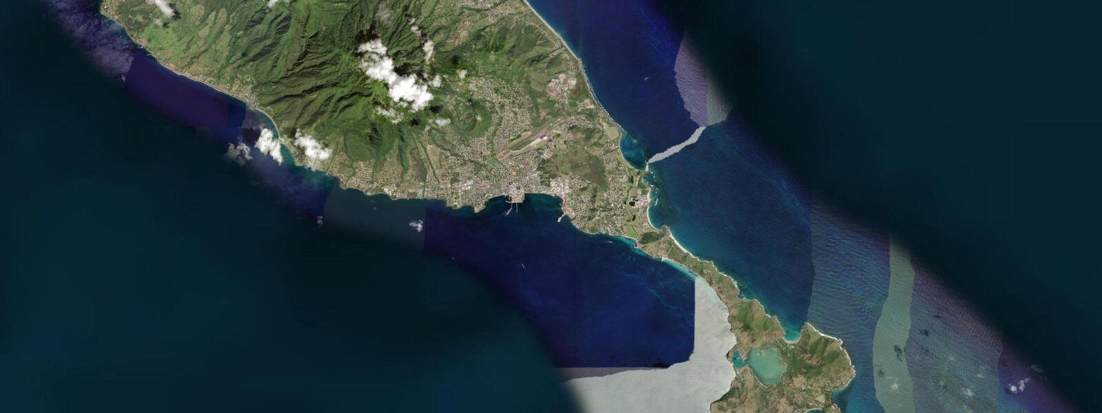
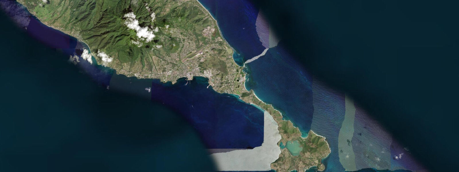
Basseterre is the capital of Saint Kitts and Nevis, a compact port town on the southwest leeward coast at the base of the volcanic slopes. The deep-water cruise ship pier — Port Zante — extends into the bay immediately west of the town centre and handles the majority of Saint Kitts' visitor traffic. The town itself is a mix of British colonial Georgian architecture around The Circus and Independence Square, and the busy commercial streets of the market and fishing areas. The Circus is modelled after London's Piccadilly Circus in layout, if considerably more intimate in scale, with a Victorian clock tower at its centre.
The tidal regime at Basseterre is Caribbean mixed semidiurnal, spring range typically 0.3 to 0.5 metres — microtidal, consistent with the Leeward Islands. The southwest-facing leeward coast is sheltered from the Atlantic northeast trades; the bay in front of the port is calm in all but the most severe weather. Two unequal high tides and two unequal low tides per day. The tide is relevant primarily for the fishing beach south of the ferry dock, where pirogues are launched and retrieved: at low water the sand beach exposes broadly; at high water boats are launched directly.
St. Kitts Scenic Railway — the old sugar railway — runs the circuit of the island at low elevation from the Needsmust station near the airport. The original purpose was moving harvested cane from the fields to the mill at La Vallee; the sugar industry closed in 2005 but the railway continues as a tourist attraction. The route takes the train along the windward Atlantic coast, the northern tip, and back down the leeward side, giving views across to Antigua, Nevis, and in clear conditions the outline of Saint Barthélemy to the northwest. The full circuit takes approximately 3.5 hours.
For snorkelling and diving, the reefs south of Basseterre — particularly around the old Frigate Bay peninsula — are accessible from shore or by short boat transfer. The leeward side reef has good coral cover on the sections away from the port's shipping traffic; the fish density improves rapidly beyond the initial 200 metres from the ferry wake zone. Dive operators based in Frigate Bay run guided reef and wreck dives; the MV River Taw wreck at 15 metres in the Basseterre harbour approach is a productive artificial reef site for macro photography.
Frigate Bay, 5 kilometres south of Basseterre, is the beach development area: the Atlantic-facing north beach and the calmer Caribbean-facing south beach of the Southeast Peninsula are both within a 10-minute drive. Most of the island's resort accommodation is in the Frigate Bay area rather than the capital.
The fish market at the southern end of the Basseterre waterfront is active in the early morning, with yellowtail snapper, flying fish, and lobster in season. The market and the vegetable market beside it are the most locally used commercial activity on the waterfront.
Tide predictions for Basseterre come from Open-Meteo Marine, a global gridded ocean model. Accuracy is typically within plus or minus 45 minutes on timing and 0.2 to 0.3 metres on height.
The deep-water Port Zante cruise facility has been the focus of significant investment by the Saint Kitts government as a driver of visitor numbers. Cruise passengers arriving at Port Zante walk directly into a pedestrianised retail and restaurant area before reaching the broader town. The town beyond Port Zante has the character of a working Caribbean market town — the commercial core operates on a seven-day cycle driven by the Saturday market, the agricultural trade, and the local service economy. The cruise economy and the local economy coexist on adjacent streets without significant integration.
Tide questions about Basseterre, Saint Kitts
Quick answers to the most common questions about tide times, range, and water access at Basseterre, Saint Kitts.
What is the tide range at Basseterre?
Caribbean microtidal — mixed semidiurnal, spring range 0.3 to 0.5 metres. The leeward southwest coast is sheltered from the Atlantic tidal signal; two unequal highs and two unequal lows per day. At this range the tide is a background variable for port operations and beach access; the fishing beach south of the ferry dock is the most tide-sensitive point, where the difference between low and high water affects the beach width and pirogue launching conditions. Neap range is around 0.2 metres. Predictions come from Open-Meteo Marine — accuracy within plus or minus 45 minutes on timing and 0.2 to 0.3 metres on height.
How do I take the scenic railway from Basseterre?
The St. Kitts Scenic Railway departs from Needsmust station near the airport, approximately 5 kilometres from Basseterre town centre (taxi or bus connection). Tours are operated by St. Kitts Scenic Railway Ltd and run on scheduled departure days, typically coinciding with cruise ship arrivals; the railway does not run daily. The circuit takes approximately 3.5 hours, running north along the leeward coast, across the northern tip, south along the Atlantic windward coast, and returning to Needsmust. Advance booking is required; the passenger capacity per departure is limited. Check the operator's website for current departure dates and booking.
What is there to see in Basseterre town?
The Circus, modelled loosely on London's Piccadilly Circus, is the central square with a Victorian clock tower — a common orientation point and meeting spot. Independence Square (formerly Pall Mall Square) is the older public space, laid out by French colonists in 1730 and used for slave auctions during the plantation era; the Catholic church on its east side dates to the eighteenth century. The National Museum is in the former Treasury building on the waterfront. The public market on Saturday morning is the busiest commercial event in the capital. The entire walkable core of Basseterre is within 15 minutes on foot.
What are the best diving and snorkelling spots near Basseterre?
The MV River Taw is a deliberately sunk wreck in 15 metres at the edge of the Basseterre harbour approach — a productive artificial reef with significant marine life colonisation including large grouper, snapper, and a cleaning station for green turtles. Dive operators in the Frigate Bay area run regular trips. The leeward coast reef from Basseterre south to Frigate Bay has good coral cover at sections away from the port shipping lane; snorkelling is accessible from shore in the coves south of the commercial wharf. For best natural reef, Frigate Bay south (Caribbean side) and the Southeast Peninsula cays are better than the harbour environs.
How do I take the ferry from Basseterre to Nevis?
Ferry service between Basseterre and Charlestown, Nevis runs from the main ferry terminal adjacent to the Port Zante cruise pier. The crossing is approximately 45 minutes on the slower ferry; a high-speed vessel runs the route in around 30 minutes. Multiple daily crossings operate in both directions; the schedule is published by the Saint Kitts–Nevis Ferry Service and varies by day of week. The single fare is modest. The ferry is the standard inter-island transport for residents and visitors; taxis meet arrivals at both terminals. Book in advance during carnival and festival weeks when demand is high.
6-day tide table — Basseterre, Saint Kitts
Heights relative to MSL. Predictions: Open-Meteo Marine (MeteoFrance SMOC, 0.08° grid) — heights relative to MSL (not chart datum / LAT). Model-derived.
| Day | Type | Time | Height |
|---|---|---|---|
| Sat 04 Jul | — | ||
| Sun 05 Jul | High | 22:00 | 0.3m |
| Mon 06 Jul | — | ||
| Tue 07 Jul | — | ||
| Wed 08 Jul | Low | 07:00 | 0.2m |
| Thu 09 Jul | High | 21:00 | 0.4m |