Little Bay, Montserrat tide times
Little Bay, Montserrat tide forecast — heights relative to MSL.
Today's tide times for Little Bay, Montserrat
Tide times at Little Bay, Montserrat on Saturday, 4 July 2026: first low tide at 12:00pm, first high tide at 09:00pm. Sunrise 05:40am, sunset 06:46pm.
Tide chart for Little Bay, Montserrat
24-hour cosine-interpolated curve around the present moment. Heights relative to MSL. Predictions: Predictions: Open-Meteo Marine (MeteoFrance SMOC, 0.08° grid).
Sun, moon and conditions on Sat 04 Jul
Snapshot at build time — refreshes daily. Sea state from Open-Meteo Marine.
Highs and lows next 7 days
Every predicted high and low for the next week, with the daily tidal coefficient (0–120; higher = bigger swing, > 95 means stronger currents).
Other spots nearby
The three closest curated TideTurtle locations to Little Bay, Montserrat, measured by great-circle distance.
Today's solunar windows
Solunar tradition: major periods are the ≈3h windows around moon transit and opposition; minor are ≈2h around moonrise and moonset. Pair with the local tide stage and wind for the best read.
About tides at Little Bay, Montserrat
A short guide to the coastline at Little Bay, Montserrat — geography, sea state, and what the tide is actually doing under your feet.
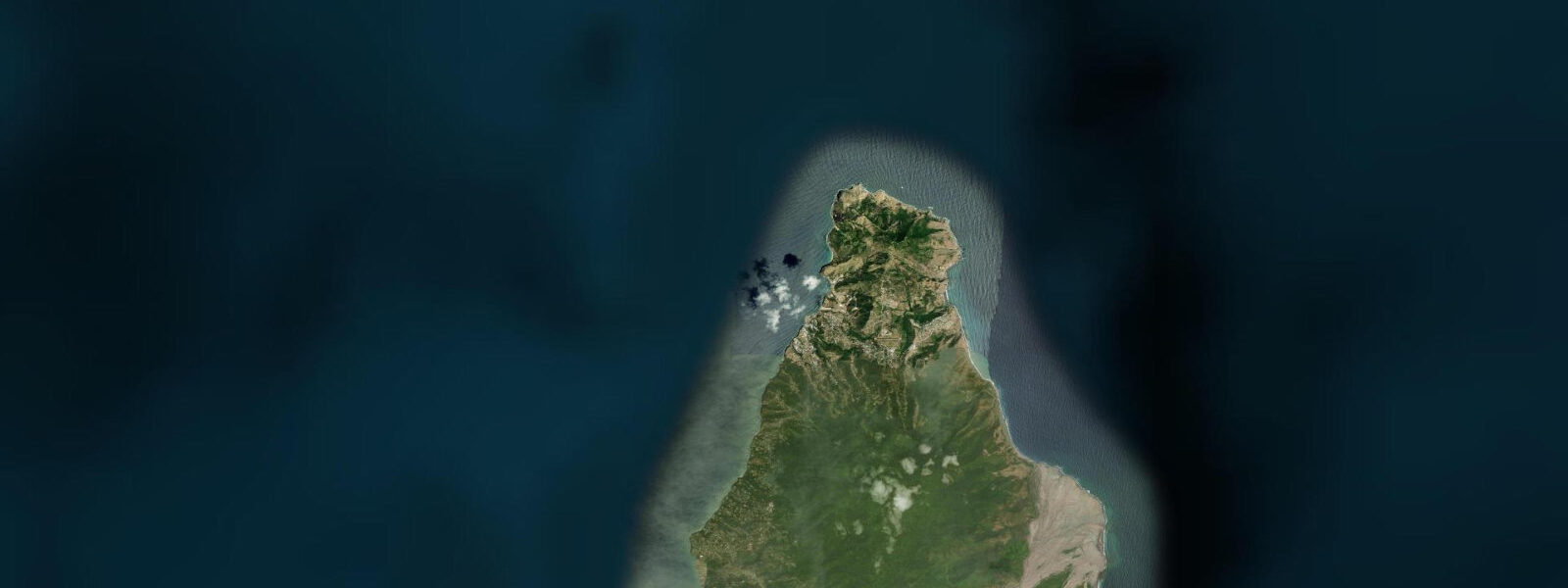
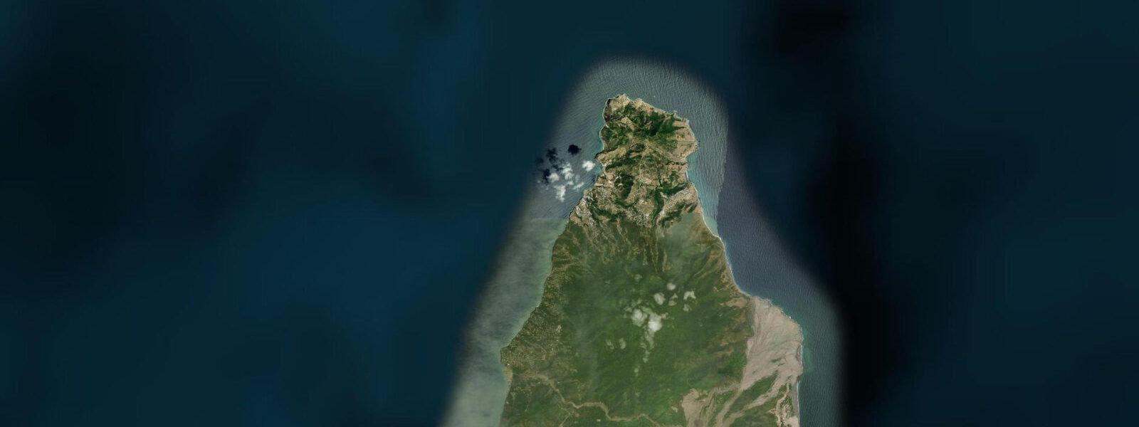
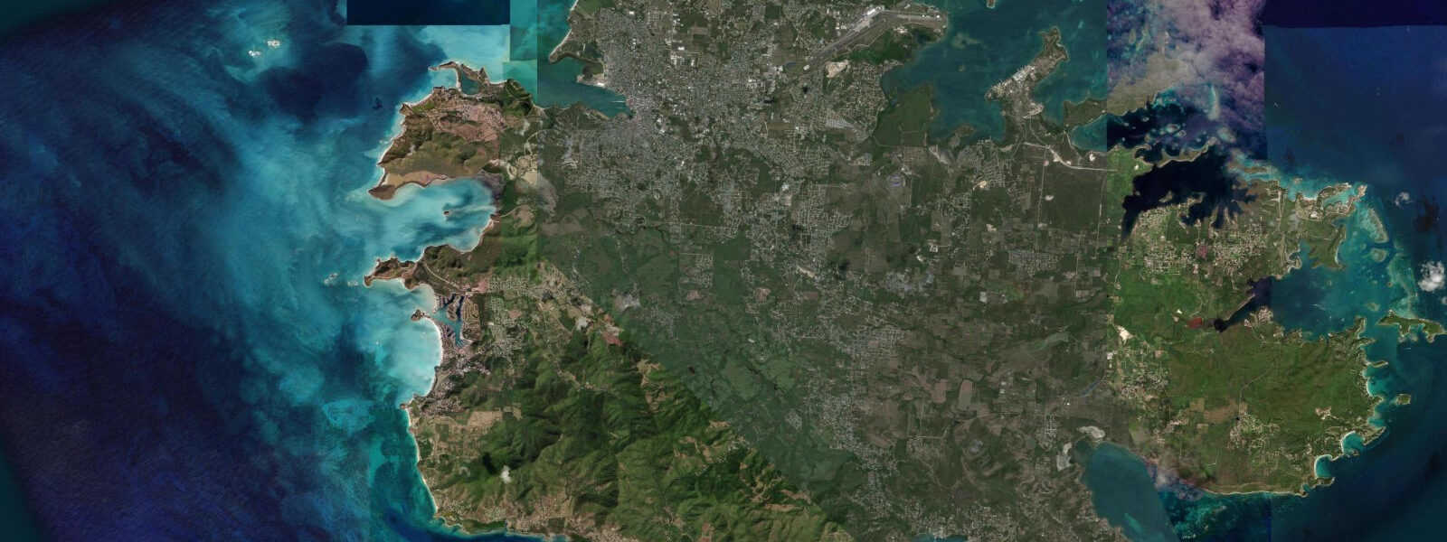
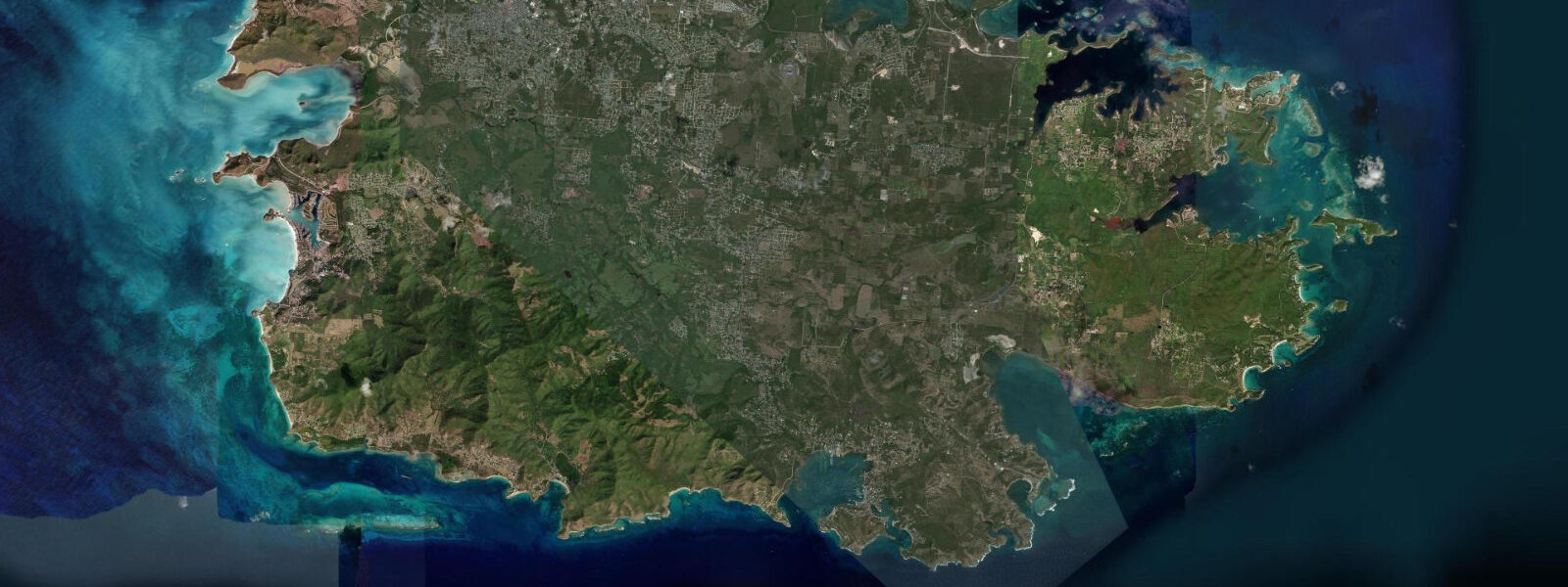
Little Bay is a small north-coast bay on Montserrat that has become the island's de facto capital and primary port in the years following the Soufrière Hills volcanic crisis that buried Plymouth, the original capital, beginning in 1995. The development of Little Bay as a new town centre has been a deliberate post-volcanic reconstruction project funded partly by UK aid and partly by regional development investment. As of 2025, the new port facility — Little Bay Cruise Pier and ferry terminal — is the primary sea connection for the island, the commercial waterfront is developing, and the residential and civic infrastructure of the island's new centre is in various stages of construction.
The tidal regime at Little Bay is Caribbean mixed semidiurnal, spring range 0.3 to 0.5 metres — microtidal, consistent with the Leeward Islands at this latitude. The north-facing bay is exposed to more trade wind chop than the fully sheltered western bays; the morning glass window before the trade fills is the calmest period for water activities. Two unequal high tides and two unequal low tides per day. The tidal range is small enough that the new ferry pier and the beach access at Little Bay are usable across the full cycle.
The Montserrat Volcano Observatory (MVO) above the exclusion zone publishes the island's volcanic alert status, which determines the boundary of the safe zone on the island. As of the current monitoring period, the southern two-thirds of Montserrat remain within the exclusion zone covering the buried city of Plymouth and the Soufrière Hills area. Guided volcano viewing trips to the exclusion zone boundary — offering views of the buried Plymouth and the volcanic dome — are run from Little Bay and are one of Montserrat's primary visitor activities. The MVO arranges scientific visits to the monitoring network.
The offshore reefs west of Little Bay are in exceptionally good condition. The combination of the island's low population (approximately 5,000 people), the near-absence of coastal development pressure through the volcanic crisis period, and the minimal boat traffic has allowed reef recovery and growth beyond what most comparable Caribbean sites show. Fish density on the Little Bay reefs is notably high; lionfish — the Indo-Pacific invasive species that has spread throughout the Caribbean — are present but culled actively by the volunteer lionfish removal programme.
For snorkellers and divers, the reef between Little Bay and Woodlands Bay is accessible from shore at the Woodlands end and by boat from the Little Bay pier. The wall at the northern end of Little Bay drops to 20 to 30 metres and has black coral and sea fan growth consistent with the deeper sections of a healthy Leeward Islands reef. Sea turtles — hawksbill and green — use the reef regularly; hawksbills nest on the beach at Little Bay during the June through August season.
The ferry to Antigua operates from Little Bay, currently serviced by the ferry MV Montserrat providing multiple weekly crossings. The journey to Antigua takes approximately 90 minutes. Air access is via John A. Osborne Airport in the north, with service to Antigua and occasionally directly to other islands.
Tide predictions for Little Bay come from Open-Meteo Marine, a global gridded ocean model. Accuracy is typically within plus or minus 45 minutes on timing and 0.2 to 0.3 metres on height.
The development of Little Bay's commercial infrastructure continues incrementally. As of 2025, the waterfront has a small concentration of restaurants and bars serving the local community and the modest visitor traffic the island receives. The cruise ship day calls — Montserrat receives a small number of cruise calls annually — bring concentrated visitor activity on specific days; the ferry from Antigua brings a more dispersed weekly flow. The scale of the island's visitor economy remains modest and intentionally so; Montserrat has not pursued the mass tourism development that has reshaped neighbouring islands.
Tide questions about Little Bay, Montserrat
Quick answers to the most common questions about tide times, range, and water access at Little Bay, Montserrat.
What is the tide range at Little Bay, Montserrat?
Caribbean microtidal — mixed semidiurnal, spring range 0.3 to 0.5 metres. The north-facing bay receives some additional trade wind exposure compared to west-facing bays; two unequal highs and two unequal lows per day. The tidal range is small enough that the ferry pier and beach access are usable across the full cycle without tide-state planning. Neap range is around 0.2 metres. Tide predictions come from Open-Meteo Marine — accuracy within plus or minus 45 minutes on timing and 0.2 to 0.3 metres on height.
Can I see the buried capital Plymouth from Little Bay?
Not directly from Little Bay — Plymouth is 12 kilometres south in the exclusion zone. Guided volcano viewing tours from Little Bay take visitors to the northern boundary of the exclusion zone, from which Plymouth's buried structures and the volcanic dome above are visible. Several operators run these guided trips from the Little Bay area; some include elevated viewpoints from the Centre Hills that give a wider view of the dome and the ash-covered southern landscape. The MVO also has a visitor centre near the exclusion zone boundary. Entering the exclusion zone without an authorised guide is prohibited and carries genuine risk from volcanic activity.
How do I get to Montserrat from Antigua?
Two options: the ferry from Antigua to Little Bay, and small aircraft. The MV Montserrat ferry runs multiple times per week on the Antigua to Little Bay route; the crossing takes approximately 90 minutes depending on sea conditions. The ferry schedule changes seasonally; check the Montserrat government website for current departure days and times. Air Montserrat and other operators fly small aircraft between V.C. Bird International Airport in Antigua and John A. Osborne Airport in northern Montserrat; the flight is approximately 15 minutes. Both options depend on weather; the Montserrat Passage between the islands can be rough in strong trade wind conditions.
Is the reef at Little Bay good for snorkelling?
Yes. The reefs between Little Bay and Woodlands Bay to the south are in exceptionally good condition due to the island's minimal development pressure and low boat traffic over the decades of the volcanic crisis. Fish density is notably higher than most comparable Caribbean sites. Hawksbill and green turtles use the reef regularly; snorkelling encounters with turtles are common in the morning. Lionfish are present and are actively culled by the volunteer removal programme. Shore entry from Woodlands Bay is more practical than from the Little Bay pier area; for the northern wall dive, a short boat trip from the pier is needed. Dive operators on the island run guided trips.
What is the current status of Montserrat's exclusion zone?
The Soufrière Hills exclusion zone covers roughly the southern two-thirds of Montserrat and encompasses the buried capital Plymouth, the Soufrière Hills summit, and the coastal areas below the volcano's eastern and southern flanks. The zone boundary is adjusted periodically by the Montserrat Volcano Observatory (MVO) based on current volcanic activity. As of mid-2025, the volcano is in an ongoing eruptive cycle at reduced activity; the exclusion zone boundary in its current configuration allows access to northern Montserrat, including Little Bay, Woodlands, and the Centre Hills, without restriction. Check the MVO website for the current alert level and zone boundary before travel. The situation can change on short notice.
7-day tide table — Little Bay, Montserrat
Heights relative to MSL. Predictions: Open-Meteo Marine (MeteoFrance SMOC, 0.08° grid) — heights relative to MSL (not chart datum / LAT). Model-derived.
| Day | Type | Time | Height |
|---|---|---|---|
| Sat 04 Jul | Low | 12:00 | 0.2m |
| High | 21:00 | 0.4m | |
| Sun 05 Jul | — | ||
| Mon 06 Jul | — | ||
| Tue 07 Jul | — | ||
| Wed 08 Jul | Low | 06:00 | 0.2m |
| High | 20:50 | 0.4m | |
| Thu 09 Jul | — | ||
| Fri 10 Jul | Low | 07:10 | 0.1m |
| High | 19:00 | 0.4m | |