Bandar Khayran tide times
Bandar Khayran tide forecast — heights relative to MSL.
Today's tide times for Bandar Khayran
Tide times at Bandar Khayran on Sunday, 21 June 2026: first high tide at 04:00am, first low tide at 07:26am, second high tide at 02:08pm, second low tide at 09:00pm. Sunrise 05:19am, sunset 06:54pm.
Tide chart for Bandar Khayran
24-hour cosine-interpolated curve around the present moment. Heights relative to MSL. Predictions: Predictions: Open-Meteo Marine (MeteoFrance SMOC, 0.08° grid).
Sun, moon and conditions on Sun 21 Jun
Snapshot at build time — refreshes daily. Sea state from Open-Meteo Marine.
Highs and lows next 7 days
Every predicted high and low for the next week, with the daily tidal coefficient (0–120; higher = bigger swing, > 95 means stronger currents).
Other spots nearby
The three closest curated TideTurtle locations to Bandar Khayran, measured by great-circle distance.
Today's solunar windows
Solunar tradition: major periods are the ≈3h windows around moon transit and opposition; minor are ≈2h around moonrise and moonset. Pair with the local tide stage and wind for the best read.
Cycle dates near Bandar Khayran
Last spring tide on Sun 21 Jun (range 1.7m). Next spring tide on Sat 27 Jun (range 1.8m). Next neap on Thu 25 Jun.
Spring tides cluster around new and full moons (biggest swings). Neap tides land on quarter moons (smallest swings). See the spring tide and neap tide glossary entries for the why.
About tides at Bandar Khayran
A short guide to the coastline at Bandar Khayran — geography, sea state, and what the tide is actually doing under your feet.
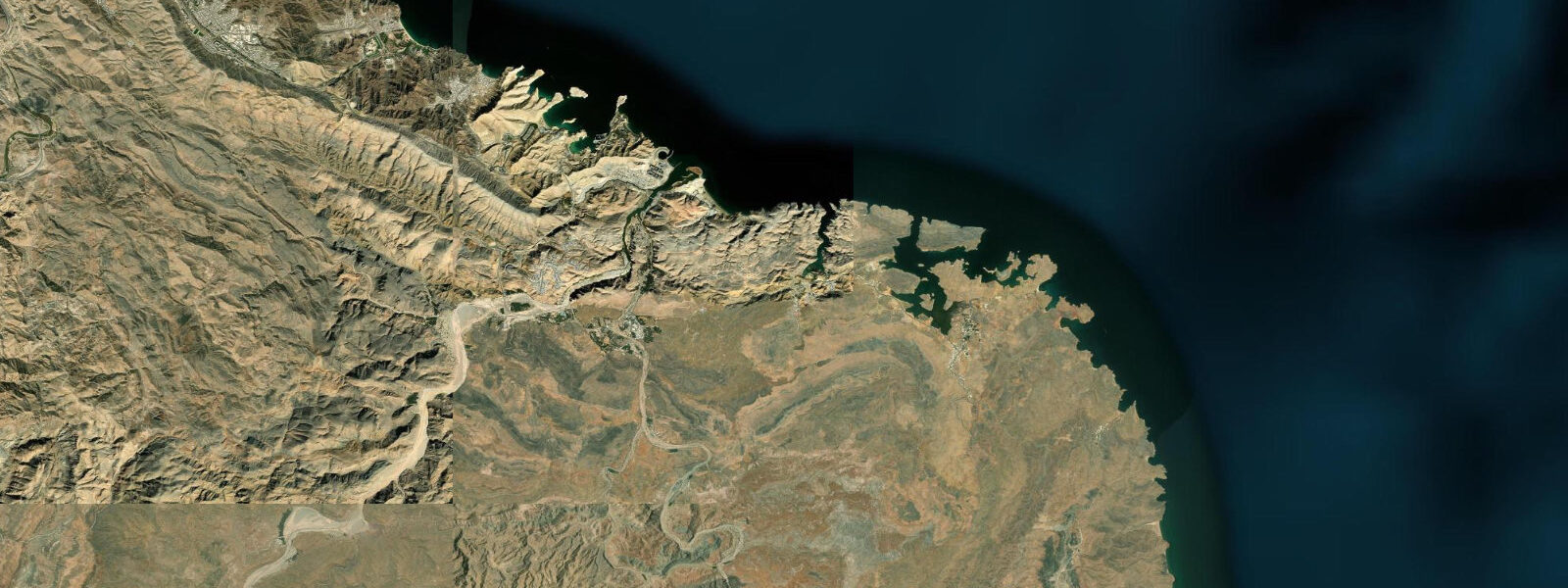
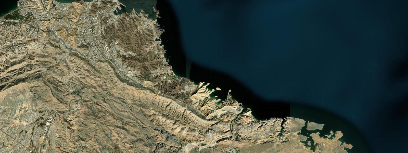
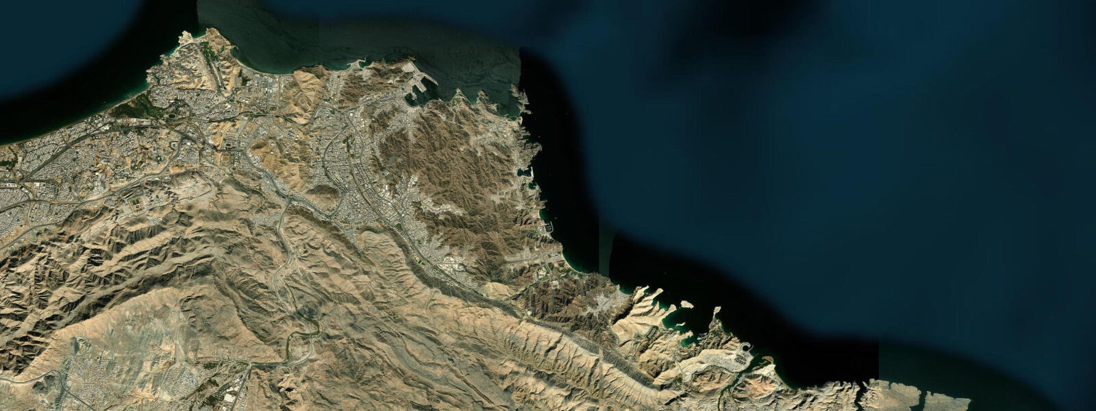
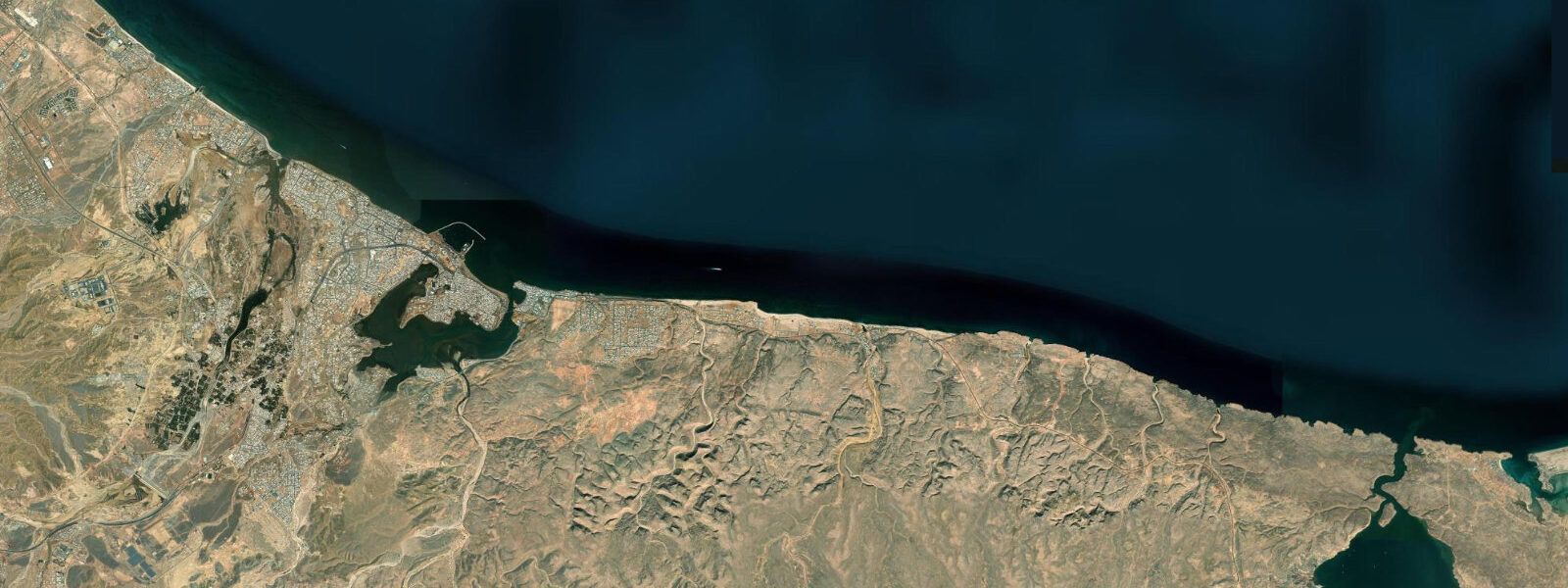
Bandar Khayran is a sheltered multi-cove inlet on the Gulf of Oman coast, roughly 30 km SE of Muscat city centre. The inlet cuts back 2–3 km into the limestone coastline; several sandy coves face into the main channel, sheltered from the NE swell by the outer headland. The combination of clear water, accessible beaches, and proximity to Muscat makes Bandar Khayran one of the most popular day-trip destinations for residents and visitors, accessible by boat from Qantab (30–40 minutes) or by 4WD on the unpaved coastal track that follows the Hajar mountain foothills.
The tidal regime follows the Muscat mixed semidiurnal pattern: spring range approximately 1.5–2.0 m above Chart Datum. The inlet amplifies the tidal range slightly — the inner coves sit at the narrow end of the inlet and the high-water mark is 0.1–0.2 m higher inside the inlet than at the entrance. At low water the sandy floors of the inner coves are exposed across their full width, sometimes stranding small boats that have anchored over the shallow inner shelf. At high water the coves are fully swimmable with clear water over the sandy and rocky bottom.
The most rewarding snorkelling in Bandar Khayran is on the rocky walls along the inlet channel, where the depth drops to 5–12 m within 20 m of the cliff face. The walls carry a typical Gulf of Oman reef community — grouper, sweetlips, fusilier schools, and the occasional turtle resting on the bottom. The best time for snorkelling is at or near high water, when the depth over the reef shelf is sufficient to explore without scraping the bottom and the water clarity is at its peak before the afternoon wind stirs sediment.
Kayaking the inlet channel at Bandar Khayran is well-suited to intermediate paddlers; the channel is sheltered from swell and the tidal current is mild (0.3–0.6 knots at springs in the main channel). At high water the inner coves and mangrove channels at the head of the inlet are accessible by kayak; at low water the shallows restrict access to the main channel. The inner mangrove area at the inlet head is a feeding area for wading birds; herons, egrets, and kingfishers are resident.
On the 4WD coastal track from Muscat, the road arrives at the inlet from the landward side and drops to beach level at two of the main inner coves. This access makes Bandar Khayran reachable without a boat in a suitable vehicle; the track is unpaved and requires ground clearance. At low water in calm conditions the sandy cove floors can also be approached on foot from the track end.
Tide predictions here come from Open-Meteo Marine: accuracy ±45 min / ±0.2–0.3 m, referenced to Muscat Port. The National Hydrographic Office of Oman is the authoritative source for Omani tide data. The Bandar Khayran area is within Muscat Governorate's protected coastal zone; camping and fire-making require a permit from the relevant authority.
The 4WD track to Bandar Khayran from the Muscat coastal road is approximately 20 km from the main Qantab junction; the track traverses wadi crossings and rocky sections that require high-clearance vehicles. Tyre pressure adjustment (30–35% reduction) is recommended for the rocky sections. After the rainy season (November–January), some wadi crossings may be impassable without checking conditions locally. The track passes several viewpoints over the inlet from above; the aerial view of the multiple sandy coves from the ridgeline is one of the better viewpoints on the Muscat coastal area.
The name Bandar Khayran translates roughly as 'good harbour' or 'harbour of goodness' in Arabic; the sheltered multi-cove geometry that earns the name is visible on any satellite image of the Muscat southeast coast. The protected character of the inlet has made it a historic anchorage; traces of ancient settlement have been recorded in the area, consistent with a coast that has been used for sheltered anchorage for thousands of years. The limestone geology of the surrounding headlands is the same formation as the Hajar Mountains that back the coast; the coastal erosion and cave formation processes that created the current inlet geometry are ongoing.
Tide questions about Bandar Khayran
Quick answers to the most common questions about tide times, range, and water access at Bandar Khayran.
Is Bandar Khayran better at high or low tide for snorkelling?
High water is the better snorkelling state at Bandar Khayran. At high tide, the depth over the rocky reef walls inside the inlet channel reaches 5–12 m and the sandy cove floors are covered with 1–2 m of water, making entry off the beach straightforward. At low water the inner cove shallows significantly, the reef shelves partially dry, and the sandy floors can be ankle-to-knee depth in some sections. Plan to arrive at or within two hours of the predicted high for the most comfortable conditions. Snorkelling fins allow you to stay above the reef without touching; this is particularly important in Oman's protected coastal areas.
Where do the tide predictions on this page come from?
Open-Meteo Marine, a free gridded global ocean model. Accuracy is typically ±45 minutes on timing and ±0.2–0.3 m on height. There is no permanent gauge at Bandar Khayran; predictions are referenced to Muscat Port. Bandar Khayran's inner inlet position means the actual high water at the inner coves may run 0.1–0.2 m higher and arrive 10–15 minutes later than the open-coast prediction. The National Hydrographic Office of Oman publishes official Omani tide tables. This page is not for navigation. The Bandar Khayran area is within the Muscat Governorate Protected Coastal Zone; the NHO office in Muscat can provide specific current table offsets from the Muscat Port reference.
Can I reach Bandar Khayran without a boat?
Yes, but it requires a 4WD vehicle. An unpaved track from the Muscat coastal road follows the Hajar mountain foothills and arrives at Bandar Khayran from the landward side, dropping to beach level at two of the main inner coves. The track requires ground clearance — standard saloon cars cannot navigate the rocky sections. The track condition varies after rainfall. Alternatively, boats from Qantab jetty reach Bandar Khayran in 30–40 minutes; this is the simpler option for groups without a suitable vehicle. The 4WD coastal track requires a high-clearance vehicle; confirm track conditions locally before attempting, particularly after the winter rain season.
Are there turtles at Bandar Khayran?
Green turtle (Chelonia mydas) sightings are occasional at Bandar Khayran, most commonly on the sandy bottom inside the inlet and resting on the reef walls. The primary turtle nesting and conservation site in Muscat Governorate is further SE at Ra's al-Jinz (Ras Al-Hadd); Bandar Khayran is not a nesting beach. Snorkellers see turtles with greater frequency in the October–April period when visibility is highest. Observe from a distance without touching or pursuing; turtles are protected under Omani law. The Bandar Khayran area has occasional loggerhead turtle (Caretta caretta) sightings in addition to green turtle; both species are protected under Omani law.
Is Bandar Khayran safe for kayaking?
The sheltered inlet channel is suitable for intermediate paddlers; swell does not penetrate the inner sections and the tidal current is mild (0.3–0.6 knots at springs). The outer inlet entrance is more exposed and should be assessed on the day — in conditions above Beaufort 3 or swell above 0.8 m, the entrance rock passage can be uncomfortable. Plan to paddle in the morning before the afternoon sea breeze builds; wind inside the inlet funnels from the NE and can oppose a return paddle in the afternoon. Wear a PFD and carry a means of signalling. Carry sufficient water for the day (minimum 2 litres per person); there is no potable water at Bandar Khayran.
8-day tide table — Bandar Khayran
Heights relative to MSL. Predictions: Open-Meteo Marine (MeteoFrance SMOC, 0.08° grid) — heights relative to MSL (not chart datum / LAT). Model-derived.
| Day | Type | Time | Height |
|---|---|---|---|
| Sun 21 Jun | High | 04:00 | 0.3m |
| Low | 07:26 | -0.4m | |
| High | 14:08 | 1.3m | |
| Low | 21:00 | -0.3m | |
| Mon 22 Jun | High | 02:45 | 0.6m |
| Low | 08:15 | -0.1m | |
| High | 14:47 | 1.2m | |
| Low | 21:56 | -0.4m | |
| Tue 23 Jun | High | 15:24 | 1.1m |
| Low | 22:54 | -0.5m | |
| Wed 24 Jun | High | 16:06 | 1.0m |
| Low | 23:42 | -0.5m | |
| Thu 25 Jun | High | 07:18 | 0.9m |
| Low | 11:55 | 0.5m | |
| Fri 26 Jun | High | 08:12 | 1.0m |
| Low | 13:07 | 0.5m | |
| High | 17:46 | 0.9m | |
| Sat 27 Jun | Low | 01:13 | -0.7m |
| High | 08:45 | 1.1m | |
| Sun 28 Jun | Low | 01:53 | -0.8m |