Te Waewae Bay tide times
Te Waewae Bay tide forecast — heights relative to MSL.
Tide chart for Te Waewae Bay
24-hour cosine-interpolated curve around the present moment. Heights relative to MSL. Predictions: Predictions: Open-Meteo Marine (MeteoFrance SMOC, 0.08° grid).
Sun, moon and conditions on Tue 23 Jun
Snapshot at build time — refreshes daily. Sea state from Open-Meteo Marine.
Highs and lows next 7 days
Every predicted high and low for the next week, with the daily tidal coefficient (0–120; higher = bigger swing, > 95 means stronger currents).
Other spots nearby
The three closest curated TideTurtle locations to Te Waewae Bay, measured by great-circle distance.
Today's solunar windows
Solunar tradition: major periods are the ≈3h windows around moon transit and opposition; minor are ≈2h around moonrise and moonset. Pair with the local tide stage and wind for the best read.
Cycle dates near Te Waewae Bay
Last spring tide on Sun 21 Jun (range 1.7m). Next spring tide on Sat 27 Jun (range 1.5m). Next neap on Thu 25 Jun.
Spring tides cluster around new and full moons (biggest swings). Neap tides land on quarter moons (smallest swings). See the spring tide and neap tide glossary entries for the why.
About tides at Te Waewae Bay
A short guide to the coastline at Te Waewae Bay — geography, sea state, and what the tide is actually doing under your feet.
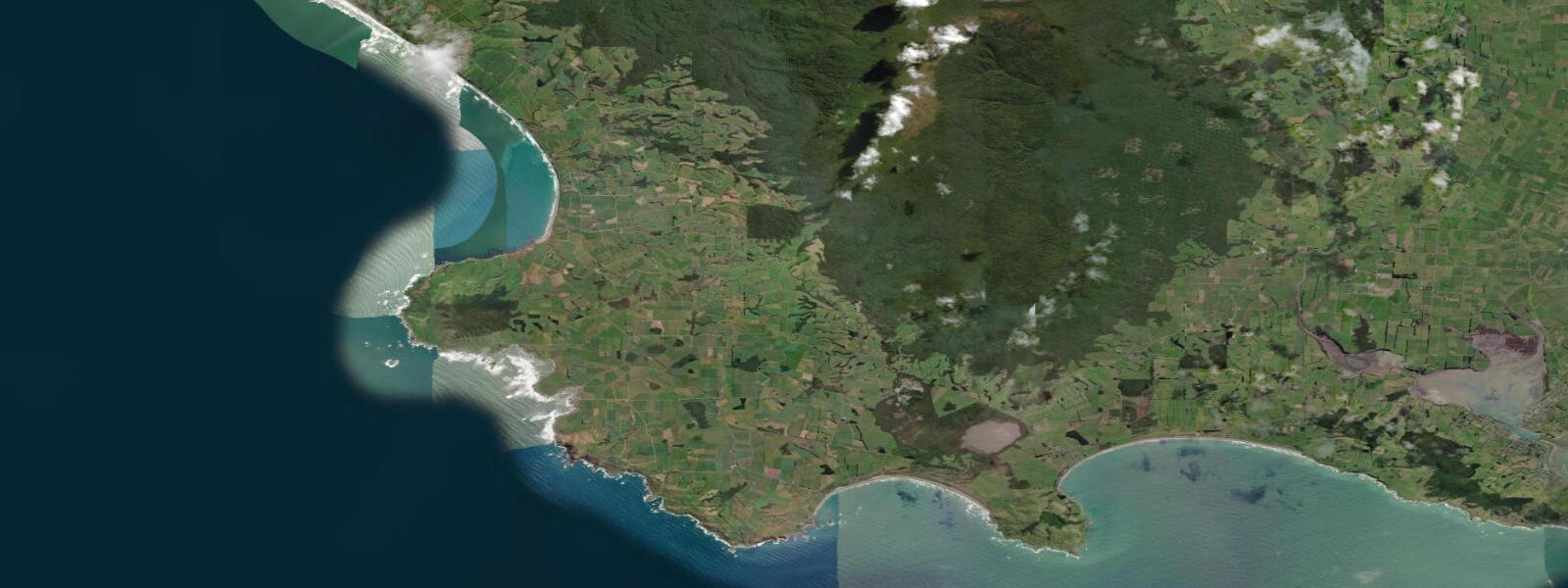
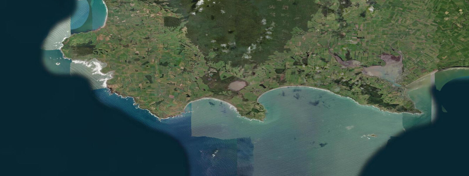
Te Waewae Bay opens west along the bottom of the South Island toward the Foveaux Strait, the 38-kilometre channel between mainland New Zealand and Stewart Island (Rakiura). The bay stretches roughly 30 kilometres from the Waiau River mouth at its eastern end to the rocky headlands at Pahia Point and Te Waewae on the Longwood Range foothills to the west. This is the windward shore of Southland — the prevailing NW and SW winds arrive with a long Southern Ocean fetch, and the bay is fully exposed to swell when the Tasman Sea runs.
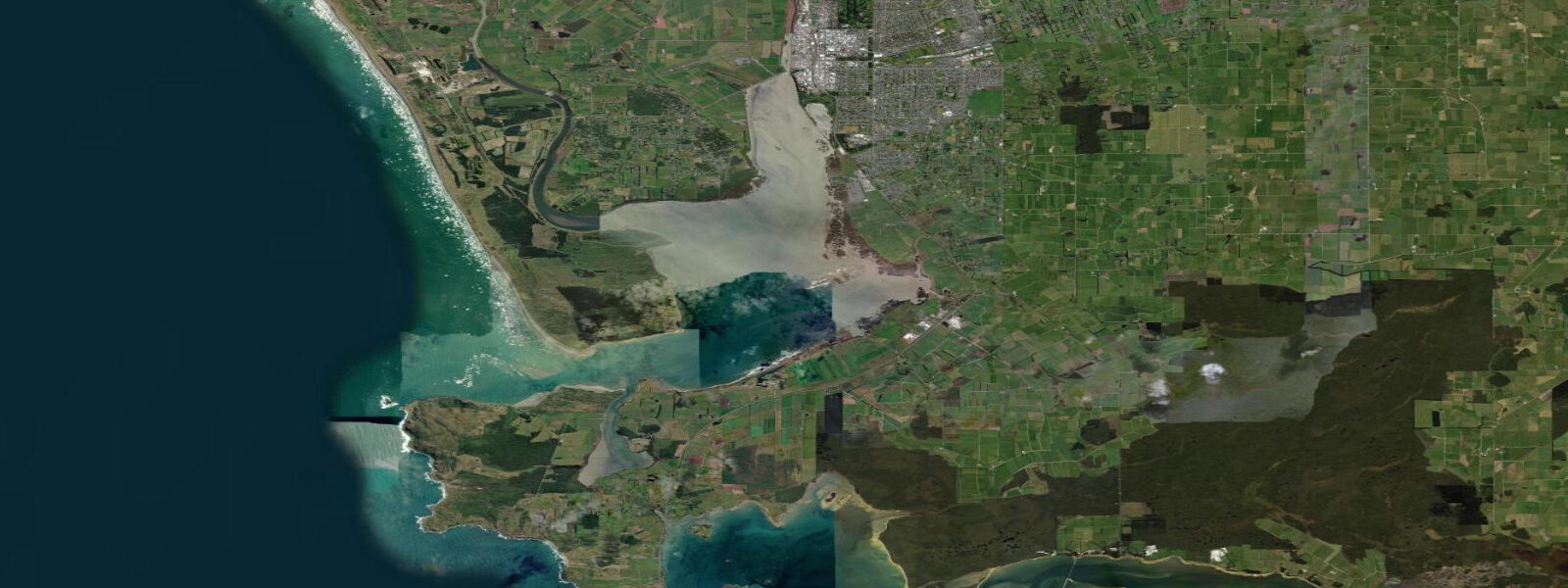
9 m. The Foveaux Strait modifies the tidal phase slightly compared with the open West Coast — the strait acts as a tidal throughway between the Tasman Sea and the Southern Ocean, and the timing at Te Waewae Bay reflects the combined effects of both basins. The Waiau River at the east end of the bay creates a river-bar crossing that is strongly influenced by tidal state; the bar shallows and steepens on the outgoing tide when river current and ebb run in the same direction.
Shore anglers work the Waiau bar and the Te Waewae lagoon outlet for kahawai and sea-run brown trout; the incoming tide from about 2 hours before low water through mid-flood is the most productive window as fish move into the cleaner incoming water. Blue penguin (kororā) come ashore in the evening regardless of tide. The Hump Ridge Track passes along the western headlands above the bay; the exposed coastline from Rarakau Beach west toward Sandhill Point is accessible on foot at low water when the beach flats widen.
Oystercatcher (tōrea) and Variable Oystercatcher (tōrea-pango) work the surf line at the Waiau bar. The bay's western end, between Pahia Point and Sandhill Point, is fronted by active sand dunes and receives the most direct Southern Ocean exposure; surf conditions here are predominantly swell-driven rather than tide-dependent, but the tidal state shifts the break location against the beach gradient. Tidal predictions on this page come from Open-Meteo Marine, a gridded global ocean model.
3 metres on height — is a meaningful fraction of the predicted range at Te Waewae Bay. NIWA (National Institute of Water and Atmospheric Research) operates the Southland coastal tide gauge network; Land Information New Zealand (LINZ) publishes authoritative New Zealand tide tables for Riverton and Bluff, both within 30 kilometres of this bay.
Tide questions about Te Waewae Bay
Quick answers to the most common questions about tide times, range, and water access at Te Waewae Bay.
When is the next high tide at Te Waewae Bay?
The hero block at the top of this page shows the next predicted high water for Te Waewae Bay in New Zealand Standard Time (NZST, UTC+12) or New Zealand Daylight Time (NZDT, UTC+13) depending on the season. The semidiurnal spring range here runs approximately 1.4 to 1.9 m, with neap range around 0.7 to 1.0 m. Times are derived from Open-Meteo Marine gridded predictions; for authoritative timing at the nearest gauge, cross-check with LINZ tide tables for Riverton (LINZ station ID varies by edition).
Is Te Waewae Bay good for shore fishing?
Yes. Kahawai (Arripis trutta) school in the surf line at the Waiau River mouth, particularly on the incoming tide when the fresh-salt interface shifts and baitfish concentrate. Sea-run brown trout enter the Waiau estuary on the flood tide; fishing the bottom two to three hours of flood and the first hour of ebb at the bar mouth is the standard local approach. Blue cod are accessible from the rocks at the western headlands at low water when ledges expose. Check current regulations with Fish and Game Southland before fishing — the Waiau River has specific seasonal rules.
What are the swell conditions like at Te Waewae Bay?
The bay faces NW to SW with an unobstructed Southern Ocean fetch. Dominant swell direction is from the NW (primary Tasman Sea swell) and SW (Southern Ocean groundswell). Average significant wave height on the open beach is 1.5 to 2.5 m; larger swell events (3 to 5 m) arrive several times per year. MetService New Zealand (metservice.com) publishes coastal marine forecasts; the Foveaux Strait forecast area covers Te Waewae Bay. Tidal state does not significantly modify the swell exposure but does shift the beach-break position relative to the gradient.
Where do these tide predictions come from?
Open-Meteo Marine, a free gridded global ocean model. It estimates tidal height across a geographic grid rather than calculating from harmonic analysis of a local gauge record. Accuracy is typically ±45 minutes on timing and ±0.2 to 0.3 metres on height. For authoritative tide times and chart datum offsets relevant to navigation and bar crossings, use LINZ New Zealand Tide Tables (linz.govt.nz) for Riverton or Bluff — both are within 25 to 35 km of Te Waewae Bay.
Is this safe to use for crossing the Waiau River bar?
No. The Waiau River bar is a dynamic sand bar that shifts with flood events and seasonal sedimentation; it should not be crossed based solely on these predictions. Bar conditions require local knowledge, current survey data, and real-time observation. If the bar is breaking heavily, do not attempt a crossing regardless of predicted tide stage. Contact the Riverton Harbour Master or a local fishing guide for current bar status before any bar crossing. These predictions are for general coastal planning only, not for navigation.
7-day tide table — Te Waewae Bay
Heights relative to MSL. Predictions: Open-Meteo Marine (MeteoFrance SMOC, 0.08° grid) — heights relative to MSL (not chart datum / LAT). Model-derived.
| Day | Type | Time | Height |
|---|---|---|---|
| Tue 23 Jun | High | 05:21 | 1.0m |
| Low | 11:40 | -0.7m | |
| High | 17:54 | 0.9m | |
| Wed 24 Jun | Low | 00:08 | -0.6m |
| High | 18:54 | 0.9m | |
| Thu 25 Jun | Low | 01:04 | -0.4m |
| High | 07:18 | 1.0m | |
| Low | 13:26 | -0.3m | |
| High | 19:41 | 1.0m | |
| Fri 26 Jun | Low | 02:00 | -0.3m |
| High | 08:12 | 0.9m | |
| Low | 14:24 | -0.4m | |
| High | 20:37 | 0.8m | |
| Sat 27 Jun | Low | 02:54 | -0.5m |
| High | 09:08 | 0.8m | |
| Low | 15:14 | -0.5m | |
| High | 21:23 | 0.8m | |
| Sun 28 Jun | Low | 03:42 | -0.7m |
| High | 09:56 | 0.8m | |
| Low | 16:04 | -0.6m | |
| High | 22:07 | 0.8m | |
| Mon 29 Jun | Low | 04:26 | -0.7m |
| High | 11:00 | 0.8m |