Bluff tide times
Bluff tide forecast — heights relative to MSL.
Tide chart for Bluff
24-hour cosine-interpolated curve around the present moment. Heights relative to MSL. Predictions: Predictions: Open-Meteo Marine (MeteoFrance SMOC, 0.08° grid).
Sun, moon and conditions on Tue 23 Jun
Snapshot at build time — refreshes daily. Sea state from Open-Meteo Marine.
Highs and lows next 7 days
Every predicted high and low for the next week, with the daily tidal coefficient (0–120; higher = bigger swing, > 95 means stronger currents).
Other spots nearby
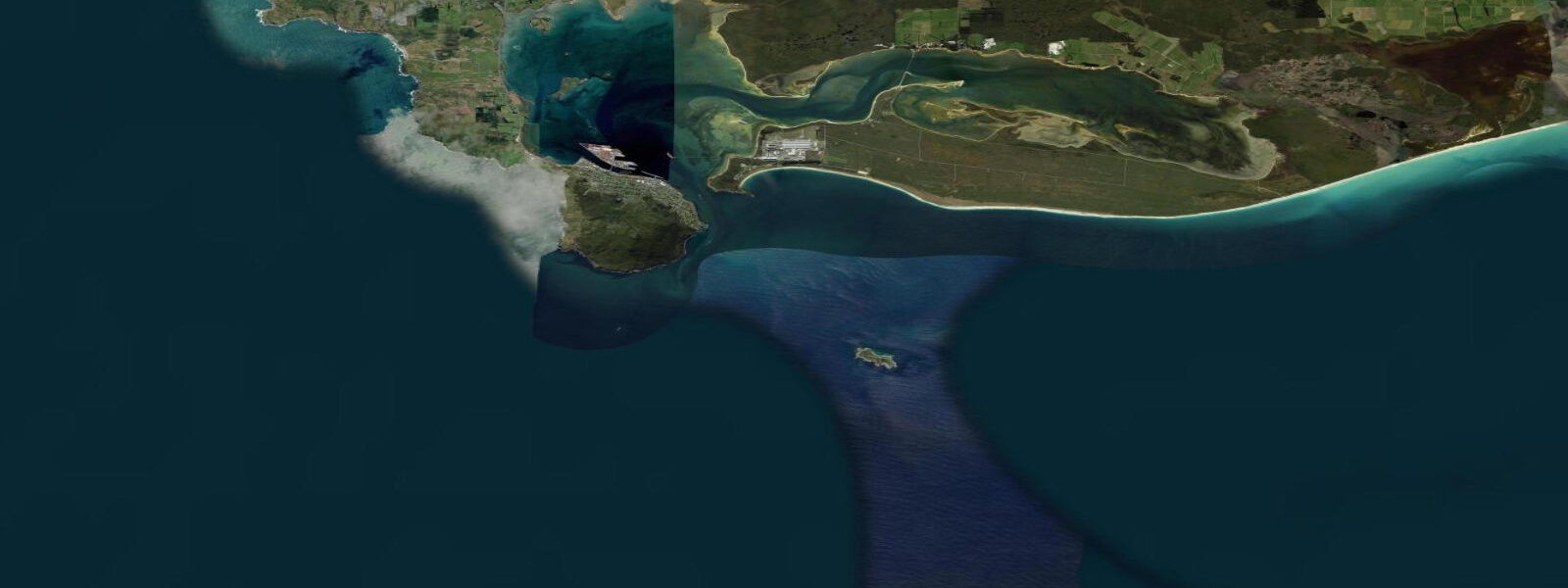
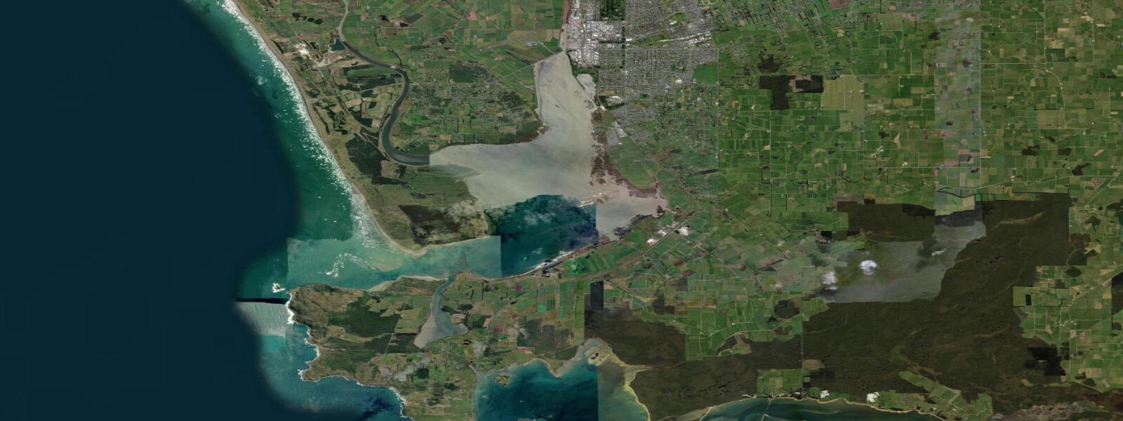
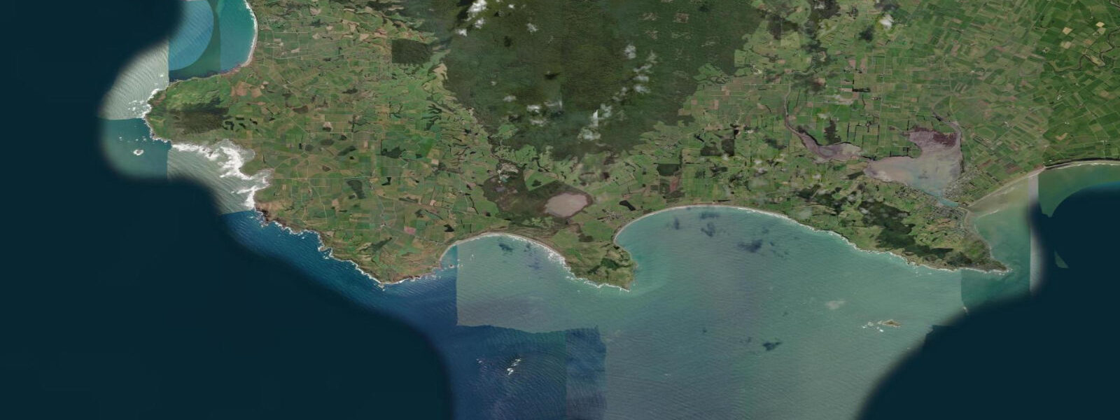
The three closest curated TideTurtle locations to Bluff, measured by great-circle distance.
Today's solunar windows
Solunar tradition: major periods are the ≈3h windows around moon transit and opposition; minor are ≈2h around moonrise and moonset. Pair with the local tide stage and wind for the best read.
Cycle dates near Bluff
Last spring tide on Sun 21 Jun (range 1.6m). Next neap on Thu 25 Jun.
Spring tides cluster around new and full moons (biggest swings). Neap tides land on quarter moons (smallest swings). See the spring tide and neap tide glossary entries for the why.
About tides at Bluff
A short guide to the coastline at Bluff — geography, sea state, and what the tide is actually doing under your feet.
Bluff is as far south as New Zealand's road network goes. State Highway 1 ends here — 2,000 kilometres from Cape Reinga — at the waterfront of a working port facing Foveaux Strait. The signpost at Stirling Point gives the distances to the South Pole and to Edinburgh, which in this context feels accurate rather than touristy. The wind off the strait in winter is the kind that makes those distances believable.
Tidal range at Bluff is approximately 2.5 metres mean spring range (LAT datum, LINZ). The strait behind the breakwater is exposed and fast: spring tidal streams run 3 to 4 knots through the 40-kilometre channel between here and Stewart Island. The Bluff–Oban (Half Moon Bay) passenger ferry operates the crossing in roughly one hour when sea conditions permit; swell from the southwest can delay or cancel sailings at short notice. For the ferry schedule, check conditions on the day — the crossing is spectacular in good weather and genuinely rough in bad.
Bluff's reason for existing commercially is the port. The Tiwai Point aluminium smelter, 20 kilometres north on the peninsula, uses the deep berths here; log exports go from the same quays. But the cultural identity of Bluff is the Bluff oyster: Ostrea chilensis, the flat southern oyster, harvested from the beds in Foveaux Strait from April through August. The season opens in late April and the Bluff Oyster and Food Festival in May draws several thousand visitors. The oysters are filter feeders, and the cold, plankton-rich current that Foveaux Strait channels year-round is the growing medium. The tidal vigour of the strait — those 3-to-4 knot streams — is directly responsible for the food concentration that makes the oysters what they are.
Stirling Point, at the road's end, has direct views across the strait on clear days — you can see the outline of Stewart Island from the breakwater. The Bluff Hill lookout above the town gives the full geographic picture: port, strait, and the Southern Ocean horizon beyond.
Predictions on this page come from Open-Meteo Marine, a global gridded ocean model accurate to within approximately ±45 minutes on timing and ±0.2–0.3 metres on height. For authoritative New Zealand tidal predictions, consult Land Information New Zealand (LINZ) at linz.govt.nz.
Tide questions about Bluff
Quick answers to the most common questions about tide times, range, and water access at Bluff.
What is the tidal range at Bluff?
Bluff has a mean spring tidal range of approximately 2.5 metres (LAT datum), making it one of the more macrotidal ports on the South Island's southern coast. Foveaux Strait spring tidal streams reach 3 to 4 knots — fast enough to affect navigation for small craft. LINZ publishes the authoritative tidal predictions for Bluff as a standard port.
When is Bluff oyster season and why are Bluff oysters special?
Bluff oyster (Ostrea chilensis) season runs April through August. The oysters are harvested from dredge beds in Foveaux Strait, where cold, clean, plankton-rich water and strong tidal currents — 3 to 4 knots at springs — produce the feeding conditions that give the oysters their flavour. The Bluff Oyster and Food Festival is held annually in May. Outside of the season, fresh Bluff oysters are not available.
Does the Bluff–Stewart Island ferry run every day?
The passenger ferry service to Half Moon Bay (Oban) on Stewart Island operates subject to sea conditions on Foveaux Strait. Crossings take approximately one hour. Southwesterly swells can delay or cancel sailings; check with the ferry operator on the day of travel. Foveaux Strait can be rough even on days that look calm inland — conditions can deteriorate quickly in this stretch of water.
What is at Stirling Point at the end of State Highway 1?
Stirling Point is the southern terminus of State Highway 1, which begins at Cape Reinga on the Aupōuri Peninsula in the far north of the country — roughly 2,000 kilometres away by road. The signpost here lists distances to various world points including the South Pole. On clear days Stewart Island is visible across Foveaux Strait from the Stirling Point breakwater. Bluff Hill, a short drive above the town, offers a panoramic view across the port and strait.
Are the tide predictions on this page suitable for navigation in Foveaux Strait?
No. Predictions here come from Open-Meteo Marine, a global ocean model providing indicative guidance only. Foveaux Strait's strong tidal streams (3–4 knots at springs), exposure to Southern Ocean swell, and rapidly changing weather make it a serious navigation environment. For passage planning, use LINZ authoritative tidal predictions at linz.govt.nz and current maritime forecasts from MetService. Always assess actual conditions before committing to the strait in a small vessel.
7-day tide table — Bluff
Heights relative to MSL. Predictions: Open-Meteo Marine (MeteoFrance SMOC, 0.08° grid) — heights relative to MSL (not chart datum / LAT). Model-derived.
| Day | Type | Time | Height |
|---|---|---|---|
| Tue 23 Jun | Low | 00:32 | -0.6m |
| High | 06:51 | 1.0m | |
| Low | 13:01 | -0.7m | |
| High | 19:26 | 0.9m | |
| Wed 24 Jun | Low | 01:27 | -0.6m |
| High | 07:54 | 0.9m | |
| Low | 13:55 | -0.5m | |
| High | 20:23 | 0.9m | |
| Thu 25 Jun | Low | 02:21 | -0.4m |
| High | 08:56 | 1.0m | |
| Low | 14:48 | -0.3m | |
| High | 21:21 | 1.0m | |
| Fri 26 Jun | Low | 03:20 | -0.3m |
| High | 09:44 | 0.9m | |
| Low | 15:51 | -0.4m | |
| High | 22:06 | 0.8m | |
| Sat 27 Jun | Low | 16:37 | -0.5m |
| High | 22:50 | 0.8m | |
| Sun 28 Jun | Low | 05:00 | -0.7m |
| High | 11:17 | 0.8m | |
| Mon 29 Jun | Low | 05:42 | -0.7m |
| High | 11:00 | 0.7m |