Domburg tide times
Domburg tide forecast — heights relative to MSL.
Today's tide times for Domburg
Tide times at Domburg on Sunday, 21 June 2026: first low tide at 02:00, first high tide at 07:10, second low tide at 13:40, second high tide at 19:16. Sunrise 05:28, sunset 22:07.
Tide chart for Domburg
24-hour cosine-interpolated curve around the present moment. Heights relative to MSL. Predictions: Predictions: Open-Meteo Marine (MeteoFrance SMOC, 0.08° grid).
Sun, moon and conditions on Sun 21 Jun
Snapshot at build time — refreshes daily. Sea state from Open-Meteo Marine.
Highs and lows next 7 days
Every predicted high and low for the next week, with the daily tidal coefficient (0–120; higher = bigger swing, > 95 means stronger currents).
Other spots nearby
The three closest curated TideTurtle locations to Domburg, measured by great-circle distance.
Today's solunar windows
Solunar tradition: major periods are the ≈3h windows around moon transit and opposition; minor are ≈2h around moonrise and moonset. Pair with the local tide stage and wind for the best read.
Cycle dates near Domburg
Last spring tide on Sun 21 Jun (range 3.4m). Next neap on Wed 24 Jun.
Spring tides cluster around new and full moons (biggest swings). Neap tides land on quarter moons (smallest swings). See the spring tide and neap tide glossary entries for the why.
About tides at Domburg
A short guide to the coastline at Domburg — geography, sea state, and what the tide is actually doing under your feet.
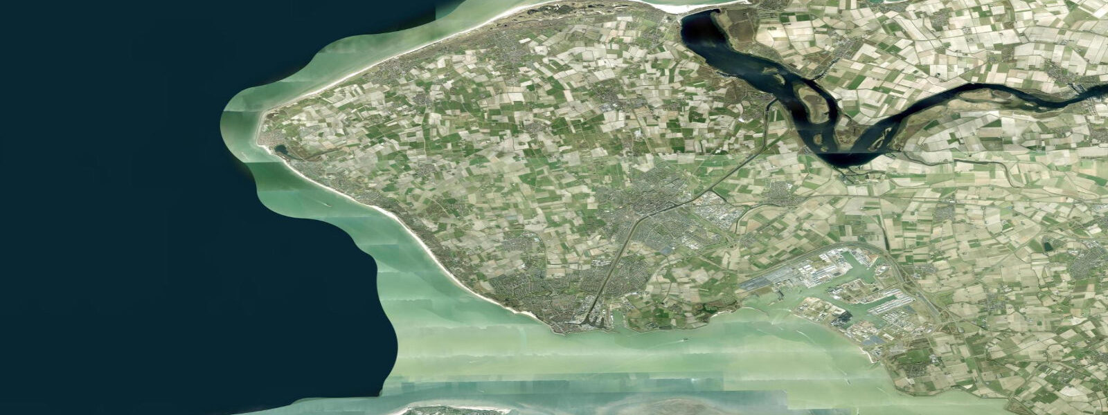
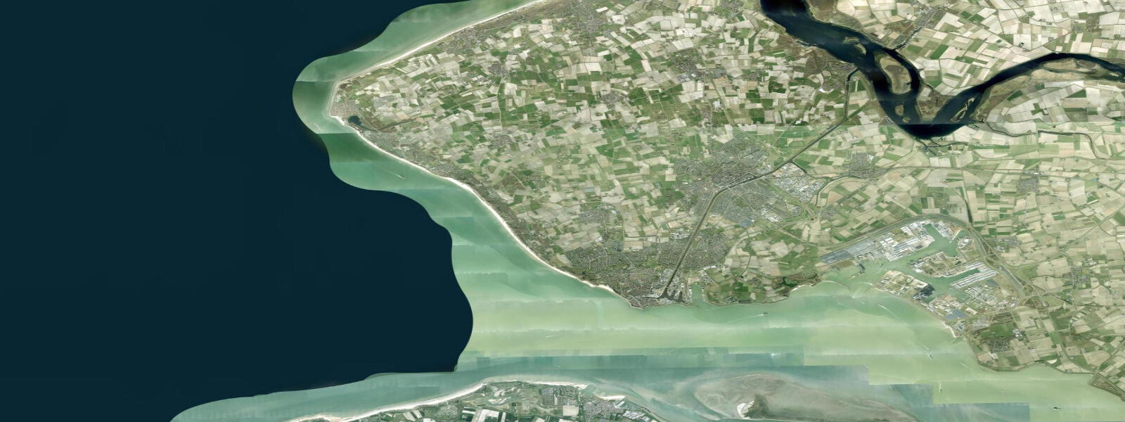
Domburg sits on the northwest coast of Walcheren island, open to the North Sea with a broad, exposed sandy beach running north and south from the small town centre. It is the main beach resort on the Zeeland coast — one of the few stretches of open North Sea beach in the Dutch south, largely sheltered from the Westerschelde tidal currents that dominate further south. The dune ridge behind the beach has been reinforced and shaped by centuries of coastal management; the seaward face is dynamic, shifting with storm events and seasonal sand transport.
The mean tidal range at Domburg is approximately 3.5 m — marginally less than Vlissingen's 3.8 m because Domburg is on the open North Sea coast rather than inside the Westerschelde funnel. Spring tides reach around 4.2 m. The beach width change between low and high water is extreme by Mediterranean standards: at low tide on a spring cycle, the exposed beach and foreshore can stretch 300–400 m from the dune toe; at high water on a spring tide with onshore swell, waves run directly to the base of the dunes. For beach users this is practical: arriving 2–3 hours before high tide gives firm, damp sand for walking, then transitioning to beach use as the tide turns. Setting up too close to the water at low tide means a long walk back as the flood advances.
Domburg has been a North Sea beach resort since the late 19th century — Jan Toorop and Piet Mondrian both worked here, drawn by the coastal light. The town itself is small, oriented around beach access and summer tourism: beach pavilions, surf rental, kitesurf instruction, beach volleyball. The North Sea surf is inconsistent but real — groundswell from Atlantic depressions arrives most cleanly in autumn and winter; summer swell is smaller but warmer water (peaking around 18–19 °C in August).
Rijkswaterstaat operates the official tide gauge network for the Netherlands; waterinfo.rws.nl gives real-time water level and tide predictions for the Zeeland coast. Open-Meteo Marine model uncertainty (±45 min, ±0.2–0.3 m) is proportionally small relative to the 3.5 m range at Domburg.
Tide questions about Domburg
Quick answers to the most common questions about tide times, range, and water access at Domburg.
What is the tidal range at Domburg?
Mean tidal range at Domburg is approximately 3.5 m — macrotidal, North Sea semidiurnal. Spring tides reach around 4.2 m; neap tides around 2.7 m. The range is slightly less than Vlissingen (3.8 m) because Domburg is on the open North Sea coast rather than inside the Westerschelde estuary, which funnels and amplifies the tidal wave. Rijkswaterstaat publishes official tide tables and real-time gauge data at waterinfo.rws.nl. Open-Meteo Marine model output (±45 min, ±0.2–0.3 m) is used for predictions here.
How does the tide affect the beach at Domburg?
Significantly. With a 3.5 m spring range and a relatively gentle beach gradient, the waterline at Domburg shifts 200–400 m horizontally between low and high tide. At low water on a spring tide, a wide, flat sandy foreshore is fully exposed — ideal for walking and beach activities but far from the surf. At high water on a spring tide with onshore swell, waves can run to the base of the dunes, leaving minimal dry beach. For most beach users, arriving 1–2 hours before high tide and staying through high water gives the best combination of access and conditions. Check the tide times before setting up camp near the waterline.
Is Domburg suitable for surfing or kitesurfing?
Domburg receives North Sea groundswell and wind-swell from the northwest and north, making it one of the better Dutch beach-break options on the Zeeland coast. Surf is most reliable in autumn and winter when Atlantic depressions deliver clean northwest groundswell; summer waves are smaller and less consistent but water is warmer (17–19 °C). The wide, exposed beach and reliable westerly and southwesterly winds make it a recognised kitesurfing venue. Surf and kite rental and instruction is available in town seasonally. Check wind and wave forecasts alongside tide times: the best surf windows often align with a rising tide over the sand banks.
Are there rip currents or safety hazards at Domburg beach?
The Domburg beach is supervised by lifeguards during peak summer season; obey flag systems and swim between the marked bathing zones. Rip currents can form in channels between sand bars, particularly at low-to-mid tide when bar morphology creates funnel points. The tidal current along the beach is modest compared to the Westerschelde to the south, but onshore swell can make exit from the water physically demanding on a steep beach face at high tide. Cold water (16–19 °C in summer) reduces safe swim duration compared to Mediterranean destinations; check local surf and safety reports at lifeguard stations.
Are these tide predictions suitable for navigation near Domburg?
These predictions are for general information only. Open-Meteo Marine model output has ±45 min timing uncertainty and ±0.2–0.3 m height uncertainty. For navigation in North Sea waters off Domburg — where macrotidal currents, shifting sandbanks, and heavy shipping traffic in the adjacent Westerschelde approach make accurate tidal knowledge essential — consult official Rijkswaterstaat tide tables, use current charts (NLHO chart 1801 series), monitor VHF forecasts from Scheveningen Radio (channel 23/83), and check notices to mariners before departure.
8-day tide table — Domburg
Heights relative to MSL. Predictions: Open-Meteo Marine (MeteoFrance SMOC, 0.08° grid) — heights relative to MSL (not chart datum / LAT). Model-derived.
| Day | Type | Time | Height |
|---|---|---|---|
| Sun 21 Jun | Low | 02:00 | -1.9m |
| High | 07:10 | 1.2m | |
| Low | 13:40 | -1.5m | |
| High | 19:16 | 1.0m | |
| Mon 22 Jun | Low | 01:58 | -2.2m |
| High | 08:16 | 0.9m | |
| Low | 14:26 | -1.6m | |
| High | 20:16 | 0.8m | |
| Tue 23 Jun | Low | 02:42 | -2.1m |
| High | 09:32 | 0.9m | |
| Low | 15:15 | -1.6m | |
| Wed 24 Jun | High | 10:48 | 1.2m |
| Low | 16:10 | -1.4m | |
| High | 22:53 | 0.8m | |
| Thu 25 Jun | Low | 04:26 | -1.8m |
| High | 11:43 | 0.9m | |
| Low | 16:58 | -1.7m | |
| Fri 26 Jun | High | 00:04 | 0.8m |
| Low | 05:22 | -1.8m | |
| High | 12:42 | 0.9m | |
| Low | 17:46 | -1.6m | |
| Sat 27 Jun | High | 00:57 | 1.0m |
| Low | 06:14 | -1.6m | |
| Sun 28 Jun | High | 01:00 | 1.1m |