Veere tide times
Veere tide forecast — heights relative to MSL.
Today's tide times for Veere
Tide times at Veere on Sunday, 21 June 2026: first low tide at 02:00, first high tide at 07:22, second low tide at 13:51, second high tide at 19:34. Sunrise 05:27, sunset 22:06.
Tide chart for Veere
24-hour cosine-interpolated curve around the present moment. Heights relative to MSL. Predictions: Predictions: Open-Meteo Marine (MeteoFrance SMOC, 0.08° grid).
Sun, moon and conditions on Sun 21 Jun
Snapshot at build time — refreshes daily. Sea state from Open-Meteo Marine.
Highs and lows next 7 days
Every predicted high and low for the next week, with the daily tidal coefficient (0–120; higher = bigger swing, > 95 means stronger currents).
Other spots nearby
The three closest curated TideTurtle locations to Veere, measured by great-circle distance.
Today's solunar windows
Solunar tradition: major periods are the ≈3h windows around moon transit and opposition; minor are ≈2h around moonrise and moonset. Pair with the local tide stage and wind for the best read.
Cycle dates near Veere
Last spring tide on Sun 21 Jun (range 3.4m). Next neap on Thu 25 Jun.
Spring tides cluster around new and full moons (biggest swings). Neap tides land on quarter moons (smallest swings). See the spring tide and neap tide glossary entries for the why.
About tides at Veere
A short guide to the coastline at Veere — geography, sea state, and what the tide is actually doing under your feet.
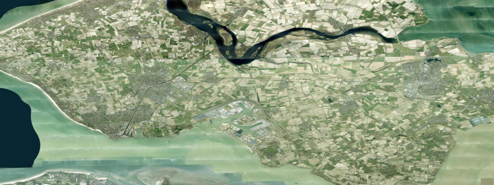
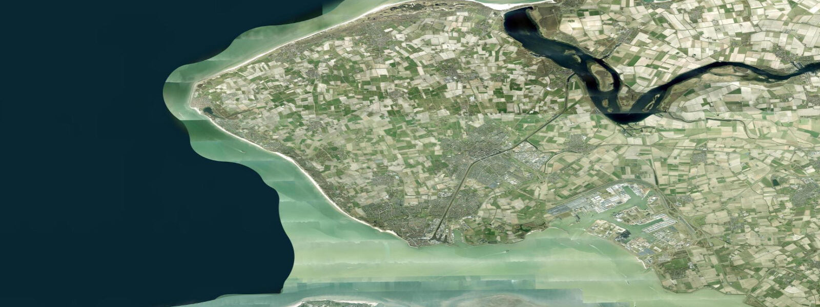
Veere is a small fortified town on the north coast of Walcheren island, overlooking what was once a tidal inlet and is now the Veerse Meer — an inland lake created when the Delta Works closure dam (the Veersegatdam) was built in 1961 as one of the first completed elements of the Delta programme. Before the dam, the Veerse Gat was an open tidal channel; after closure, the former harbour became landlocked, and the Veerse Meer has since been managed as a freshwater and later brackish recreational lake.
This transformation defines the tidal reality at Veere today: the Veerse Meer itself has no meaningful tidal signal. Water levels in the lake are managed by Rijkswaterstaat through sluices to maintain a consistent recreational level. Tidal variation that would have run 3.0–3.5 m here in the pre-Delta Works era simply does not exist in the closed basin. Water levels can vary modestly with wind and managed sluice operations, but not with the astronomical tide.
The town is one of the best-preserved late-medieval harbour towns in the Netherlands. The Grote Kerk (Onze-Lieve-Vrouwekerk), a massive 15th-century church that was never completed to its intended height, now serves as a cultural centre and gives the small town a skyline disproportionate to its 2,000-person population. The old Stadhuys (town hall, 1474) faces the former harbour. The harbour basin itself still holds sailing boats and dinghies; the Veerse Meer is a major inland sailing and watersports venue.
For sailors and kayakers: the Veerse Meer connects via locks to the Oosterschelde (Eastern Scheldt) and gives access to the Zeeland delta network. The Oosterschelde itself is tidal — retaining a macrotidal range of approximately 2.8–3.2 m because the Oosterscheldekering storm surge barrier allows normal tidal flow through its 65 sluice gates during non-emergency periods. Transitioning from the still Veerse Meer through the Katse Heule lock into the Oosterschelde brings a step-change in tidal conditions.
Tide questions about Veere
Quick answers to the most common questions about tide times, range, and water access at Veere.
Does Veere have tidal water?
Not at the Veerse Meer (Veere Lake) itself. The Delta Works closure dam built in 1961 (Veersegatdam) severed the former tidal inlet from the sea, creating an enclosed recreational lake managed by Rijkswaterstaat. Water levels in the Veerse Meer are controlled by sluices and show no meaningful astronomical tidal signal. The former harbour at Veere is now set in calm, non-tidal water. Tidal conditions return in the Oosterschelde, accessible via the Katse Heule lock, where the macrotidal range is approximately 2.8–3.2 m.
What were tidal conditions at Veere before the Delta Works?
Before the Veersegatdam closed the Veerse Gat inlet in 1961, Veere experienced a macrotidal range consistent with the wider Zeeland coast — estimated at 3.0–3.5 m. The harbour was tidal; vessels were regularly grounded at low water. The 1953 North Sea flood struck the Veerse Gat area hard, which was part of the impetus for the Delta Works programme. The closure changed Veere from a tidal harbour to an inland sailing venue overnight, transforming its character from active maritime commerce to leisure watersports.
What is the Veerse Meer and what can I do there?
The Veerse Meer is a 22 km² brackish lake on the north coast of Walcheren, created by the 1961 Delta Works closure. It is one of the Netherlands' primary inland sailing venues: the lake's relatively constant, non-tidal water level makes it simpler for dinghy sailing, windsurfing, and kitesurfing than the open Oosterschelde. Multiple yacht harbours and sailing centres operate on its shores. The water quality is monitored by Rijkswaterstaat; the lake is managed for both recreation and ecology (bird reserves at the eastern end).
How does the Delta Works storm surge barrier work, and when was it built?
The Oosterscheldekering, completed in 1986, is the largest of the Delta Works structures — a 9 km barrier across the mouth of the Eastern Scheldt with 65 movable sluice gates. Under normal conditions the gates are open, allowing tidal exchange and preserving the Oosterschelde ecosystem (tidal flats, oyster and mussel beds). When storm surge forecasts exceed a threshold of approximately 3 m above NAP, the gates close, protecting Zeeland from flooding. The barrier was the compromise solution after environmental protest led to abandonment of a full closure dam, which would have destroyed the Oosterschelde's ecology. It was listed as one of the Seven Wonders of the Modern World.
Are tide predictions relevant for visiting Veere?
For activities on the Veerse Meer itself — sailing, kayaking, swimming — tide predictions are not relevant; the lake has no tidal signal. Water level is managed by Rijkswaterstaat sluices. Tide predictions become important if transiting from the Veerse Meer into the Oosterschelde via the Katse Heule lock: the Oosterschelde has a macrotidal range of 2.8–3.2 m, and lock operations, currents, and depths in the Oosterschelde require accurate tidal knowledge. For Oosterschelde navigation, consult official Rijkswaterstaat tide tables at waterinfo.rws.nl.
8-day tide table — Veere
Heights relative to MSL. Predictions: Open-Meteo Marine (MeteoFrance SMOC, 0.08° grid) — heights relative to MSL (not chart datum / LAT). Model-derived.
| Day | Type | Time | Height |
|---|---|---|---|
| Sun 21 Jun | Low | 02:00 | -2.0m |
| High | 07:22 | 1.4m | |
| Low | 13:51 | -1.7m | |
| High | 19:34 | 1.1m | |
| Mon 22 Jun | Low | 02:09 | -2.3m |
| High | 08:26 | 1.1m | |
| Low | 14:39 | -1.8m | |
| High | 20:34 | 0.8m | |
| Tue 23 Jun | Low | 02:57 | -2.3m |
| High | 09:36 | 1.0m | |
| Low | 15:22 | -1.8m | |
| High | 21:57 | 0.9m | |
| Wed 24 Jun | Low | 03:47 | -1.9m |
| High | 10:49 | 1.3m | |
| Low | 16:17 | -1.5m | |
| High | 23:02 | 0.9m | |
| Thu 25 Jun | Low | 04:40 | -2.0m |
| High | 11:46 | 1.0m | |
| Low | 17:06 | -1.9m | |
| Fri 26 Jun | High | 00:08 | 0.9m |
| Low | 05:28 | -2.0m | |
| High | 12:42 | 1.0m | |
| Low | 17:57 | -1.8m | |
| Sat 27 Jun | High | 01:00 | 1.1m |
| Low | 06:19 | -1.8m | |
| Sun 28 Jun | High | 01:00 | 1.2m |