Hoek van Holland, South Holland tide times
Hoek van Holland, South Holland tide forecast — heights relative to MSL.
Today's tide times for Hoek van Holland, South Holland
Tide times at Hoek van Holland, South Holland on Friday, 19 June 2026: first low tide at 02:00, first high tide at 06:18, second low tide at 11:12, second high tide at 12:20, third low tide at 14:53, third high tide at 18:22. Sunrise 05:23, sunset 22:06.
Tide chart for Hoek van Holland, South Holland
24-hour cosine-interpolated curve around the present moment. Heights relative to MSL. Predictions: Predictions: Open-Meteo Marine (MeteoFrance SMOC, 0.08° grid).
Sun, moon and conditions on Fri 19 Jun
Snapshot at build time — refreshes daily. Sea state from Open-Meteo Marine.
Highs and lows next 7 days
Every predicted high and low for the next week, with the daily tidal coefficient (0–120; higher = bigger swing, > 95 means stronger currents).
Other spots nearby
The three closest curated TideTurtle locations to Hoek van Holland, South Holland, measured by great-circle distance.
Today's solunar windows
Solunar tradition: major periods are the ≈3h windows around moon transit and opposition; minor are ≈2h around moonrise and moonset. Pair with the local tide stage and wind for the best read.
Cycle dates near Hoek van Holland, South Holland
Last spring tide on Fri 19 Jun (range 2.3m). Next neap on Wed 24 Jun.
Spring tides cluster around new and full moons (biggest swings). Neap tides land on quarter moons (smallest swings). See the spring tide and neap tide glossary entries for the why.
About tides at Hoek van Holland, South Holland
A short guide to the coastline at Hoek van Holland, South Holland — geography, sea state, and what the tide is actually doing under your feet.
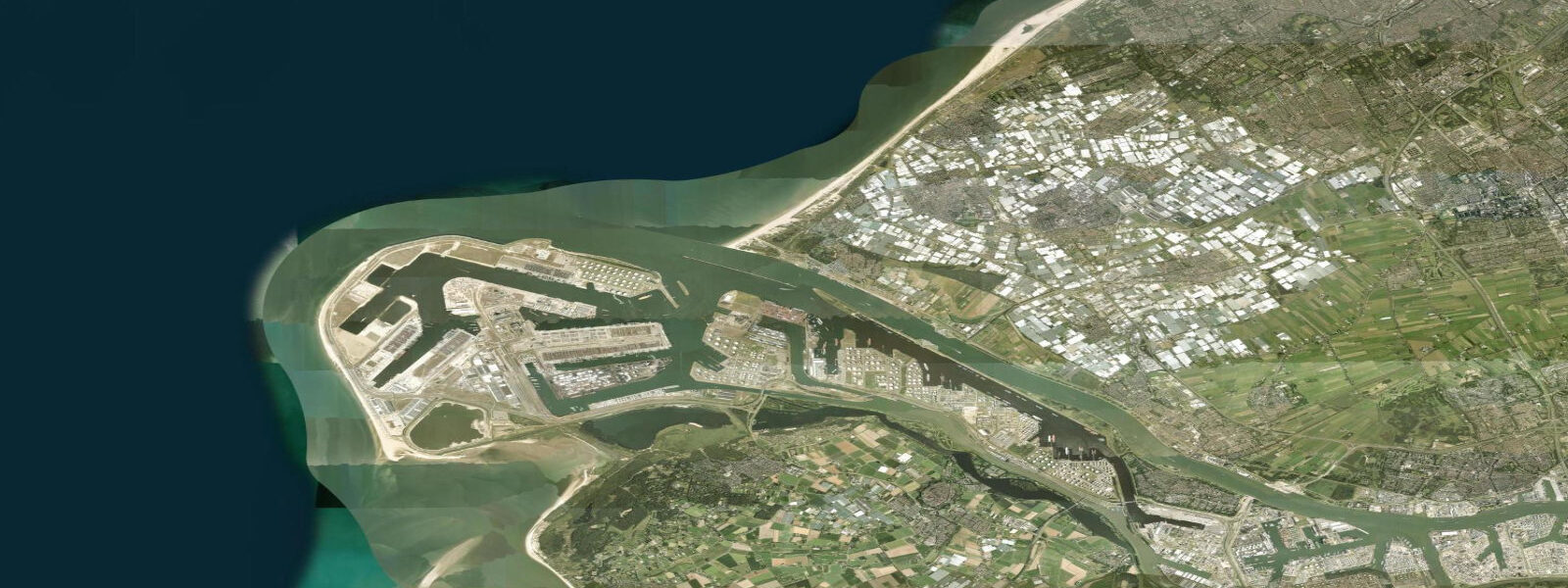
Hoek van Holland — Hook of Holland — is the point where the Nieuwe Waterweg ship channel meets the North Sea. This is the sea entrance to the Port of Rotterdam, the largest port in Europe by cargo volume. The Maasmond port entrance, flanked by the Noorderdam breakwater to the north and the Zuiderdam to the south, funnels container ships, tankers, bulk carriers, and car carriers past this point continuously. Watching the vessel traffic from the breakwater is one of the more compelling free activities in the Netherlands.
The tidal regime is semidiurnal, driven by the North Sea tidal wave that propagates from north to south along the Dutch coast. Mean spring range at Hoek van Holland is 1.6 to 1.8 metres — modest by Atlantic standards but sufficient to generate substantial tidal currents through the constricted Nieuwe Waterweg channel. The current on spring ebb reaches 2 to 3 knots through the main fairway; flood currents run 1.5 to 2 knots. Vessels inbound to Rotterdam on the ebb face an adverse current that can subtract 2 knots from their ground speed over the 30-kilometre run to the main port terminals. Vessels outbound on the ebb add the same current to their speed. Port pilots account for this in the transit timing.
The Noorderdam extends approximately 2 kilometres into the North Sea from the north side of the Nieuwe Waterweg entrance. It is constructed of granite boulders and topped by a concrete walkway and railings for most of its length. Walkers can follow it to the sea end and stand at the precise point where the river current and North Sea swell intersect. On westerly weather, this is a genuinely exposed position — spray clears the top of the breakwater in any significant swell. On calm days, particularly early morning, the light over the North Sea from the Noorderdam is remarkable: the low Dutch coastline to the north and south, the channel markers running into the haze inland, and the occasional vessel moving at harbour approach speed.
Sea anglers use the Noorderdam and the south breakwater (Zuiderdam) year-round. Bass are present from late spring through autumn, taking lures and sandeel imitations fished on the current edge where the channel current meets the calmer water north of the fairway. Flounder and plaice work the sandy ground either side of the breakwater bases on the flood. Cod arrive in autumn and winter; specimen fish to 8 kilograms are caught from the Noorderdam in November and December. The current makes weight selection critical — on spring ebb, a 100-gram lead barely holds bottom in the fairway; lighter tackle works only in the calmer water to the north side of the dam.
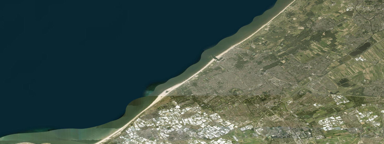
The beach north of the Maasmond entrance stretches to Ter Heijde and beyond. A broad dune system backs the beach; the dune ridge here is part of the natural sea defence that protects the low-lying Westland agricultural area behind it. Swimming is restricted to the designated bathing area well north of the channel entrance — the tidal current through the main fairway is too strong for swimming, and the vessel traffic makes the entrance approach dangerous regardless of current strength. The designated beach has lifeguard cover in summer.
The tidal current interacts with westerly swell to produce a marked chop at the channel mouth. Kayakers and stand-up paddlers should treat the Maasmond entrance as off-limits — the combination of current, vessel wash, and swell creates confused seas that are genuinely hazardous for surface craft. The calmer water north of the Noorderdam, inside the shelter of the breakwater, is accessible by paddleboarders at any state of tide.
The Hook of Holland ferry terminal, on the south side of the Nieuwe Waterweg, serves the Stena Line crossing to Harwich, England. The ferry times are not tide-constrained — the channel has sufficient depth at all states — but passengers on the Stena crossing notice the tidal current as the vessel manoeuvres into or out of the terminal.
Tide data for Hoek van Holland, South Holland comes from the Open-Meteo Marine API, a gridded model product. Timing accuracy is ±45 minutes, height accuracy ±0.3 m — usable for trip planning, not for navigation.
Tide questions about Hoek van Holland, South Holland
Quick answers to the most common questions about tide times, range, and water access at Hoek van Holland, South Holland.
How strong is the tidal current through the Nieuwe Waterweg at Hoek van Holland?
Spring ebb currents through the Nieuwe Waterweg fairway reach 2 to 3 knots at the channel mouth — enough to noticeably affect vessel approach and departure speeds to and from Rotterdam. Flood currents run somewhat lighter at 1.5 to 2 knots. The current is strongest through the constricted entrance between the Noorderdam and Zuiderdam breakwater arms and diminishes with distance inland as the channel widens. For recreational users, the current makes the main fairway area completely unsuitable for swimming or paddling at any state of the tide.
Can I walk to the end of the Noorderdam breakwater?
The Noorderdam extends roughly 2 kilometres into the North Sea and has a walkable concrete surface with railings along most of its length. It is accessible on foot from the beach car park at the Maasmond entrance, year-round. On calm days the walk to the seaward end takes about 25 minutes each way and gives a clear view of vessel movements through the channel. On days with westerly swell of 1.5 metres or more, spray overtops the breakwater top periodically — wear waterproof outer layers and do not go to the end. No tide constraint applies to the walk itself; the dam surface is above water at all tide states.
What species can sea anglers catch from the Hoek van Holland breakwaters?
The Noorderdam and Zuiderdam breakwaters are productive year-round. Bass arrive from late April and stay through October; the best lure fishing is on the current edge north of the main fairway, where the ebb creates a distinct transition between fast and slack water. Flounder and plaice work the sandy ground around the breakwater bases, particularly on the flood. Autumn and winter bring cod — November through January produces the largest fish, with specimen cod to 8 kilograms taken from the Noorderdam in good years. Spring tides require heavy leads (100 grams or more) to hold bottom in the channel-adjacent ground.
Is the beach at Hoek van Holland safe for swimming?
Swimming is safe in the designated bathing area north of the Maasmond entrance, well clear of the ship channel. This area has lifeguard coverage in summer. The water directly at or south of the channel entrance is not suitable for swimming: tidal currents of 2 to 3 knots in the fairway are too strong for swimmers, and the continuous large-vessel traffic through the Nieuwe Waterweg creates additional hazard. The bathing beach itself faces west-northwest and receives the full North Sea fetch, so afternoon onshore winds can produce choppy conditions — check wave height forecasts on days with wind from the west or southwest.
What is the best time of day to watch ship traffic at Hoek van Holland?
Vessel movements through the Maasmond entrance are continuous day and night — Rotterdam operates 24 hours. Early morning, roughly one hour after sunrise, gives the best photographic light from the Noorderdam (south-facing light on north-side structures). Large container ships and tankers transit the Nieuwe Waterweg to and from the main port terminals; bulk carriers and car-carrier vessels (distinctive box shapes) are also common. The current direction does not determine vessel scheduling, as ships transit both inbound and outbound throughout the day, but spring ebb conditions make the largest outbound vessels noticeably faster past the entrance markers.
8-day tide table — Hoek van Holland, South Holland
Heights relative to MSL. Predictions: Open-Meteo Marine (MeteoFrance SMOC, 0.08° grid) — heights relative to MSL (not chart datum / LAT). Model-derived.
| Day | Type | Time | Height |
|---|---|---|---|
| Fri 19 Jun | Low | 02:00 | -1.3m |
| High | 06:18 | 1.1m | |
| Low | 11:12 | -0.6m | |
| High | 12:20 | -0.5m | |
| Low | 14:53 | -1.1m | |
| High | 18:22 | 0.7m | |
| Sat 20 Jun | Low | 02:54 | -1.3m |
| High | 07:11 | 1.0m | |
| Low | 12:21 | -0.5m | |
| High | 12:47 | -0.4m | |
| Low | 15:42 | -1.0m | |
| High | 19:09 | 0.6m | |
| Sun 21 Jun | Low | 00:46 | -1.2m |
| Low | 03:39 | -1.3m | |
| High | 07:58 | 0.7m | |
| Low | 16:22 | -1.1m | |
| High | 20:02 | 0.3m | |
| Mon 22 Jun | Low | 02:20 | -1.5m |
| Low | 04:13 | -1.5m | |
| High | 09:20 | 0.4m | |
| Low | 17:00 | -1.0m | |
| High | 21:02 | 0.3m | |
| Tue 23 Jun | Low | 03:00 | -1.2m |
| High | 11:32 | 0.8m | |
| Low | 17:49 | -0.7m | |
| High | 22:24 | 0.5m | |
| High | 23:37 | 0.5m | |
| Wed 24 Jun | Low | 04:02 | -1.0m |
| Low | 05:35 | -0.9m | |
| High | 12:15 | 0.8m | |
| Low | 16:25 | -0.8m | |
| Low | 18:43 | -0.8m | |
| Thu 25 Jun | High | 00:39 | 0.5m |
| Low | 04:45 | -1.1m | |
| Low | 06:35 | -1.1m | |
| High | 13:08 | 0.7m | |
| Low | 17:18 | -0.9m | |
| Low | 19:35 | -0.9m | |
| Fri 26 Jun | High | 01:00 | 0.7m |