M'diq tide times
M'diq tide forecast — heights relative to MSL.
Today's tide times for M'diq
Tide times at M'diq on Sunday, 21 June 2026: first low tide at 01:42, first high tide at 07:38, second low tide at 13:42, second high tide at 20:21. Sunrise 06:05, sunset 20:40.
Tide chart for M'diq
24-hour cosine-interpolated curve around the present moment. Heights relative to MSL. Predictions: Predictions: Open-Meteo Marine (MeteoFrance SMOC, 0.08° grid).
Sun, moon and conditions on Sun 21 Jun
Snapshot at build time — refreshes daily. Sea state from Open-Meteo Marine.
Highs and lows next 7 days
Every predicted high and low for the next week, with the daily tidal coefficient (0–120; higher = bigger swing, > 95 means stronger currents).
Other spots nearby
The three closest curated TideTurtle locations to M'diq, measured by great-circle distance.
Today's solunar windows
Solunar tradition: major periods are the ≈3h windows around moon transit and opposition; minor are ≈2h around moonrise and moonset. Pair with the local tide stage and wind for the best read.
Cycle dates near M'diq
Last spring tide on Sun 21 Jun (range 0.5m). Next spring tide on Sat 27 Jun (range 0.5m). Next neap on Fri 26 Jun.
Spring tides cluster around new and full moons (biggest swings). Neap tides land on quarter moons (smallest swings). See the spring tide and neap tide glossary entries for the why.
About tides at M'diq
A short guide to the coastline at M'diq — geography, sea state, and what the tide is actually doing under your feet.
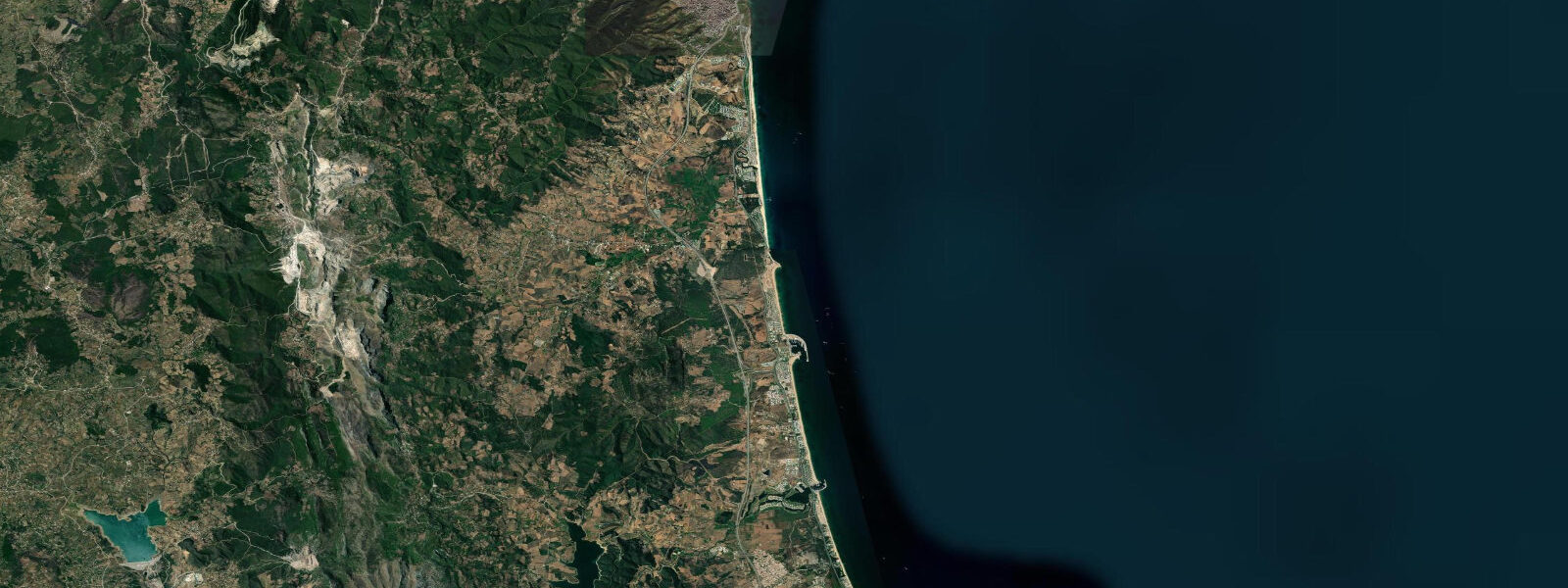
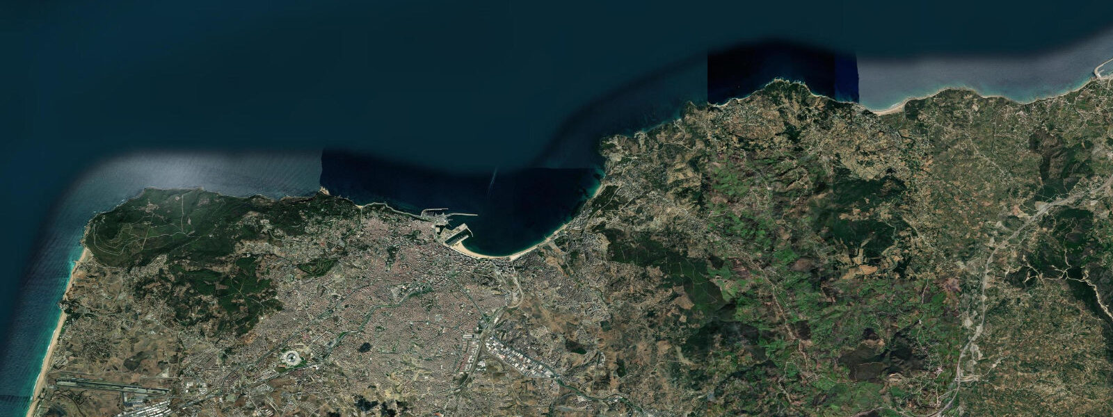
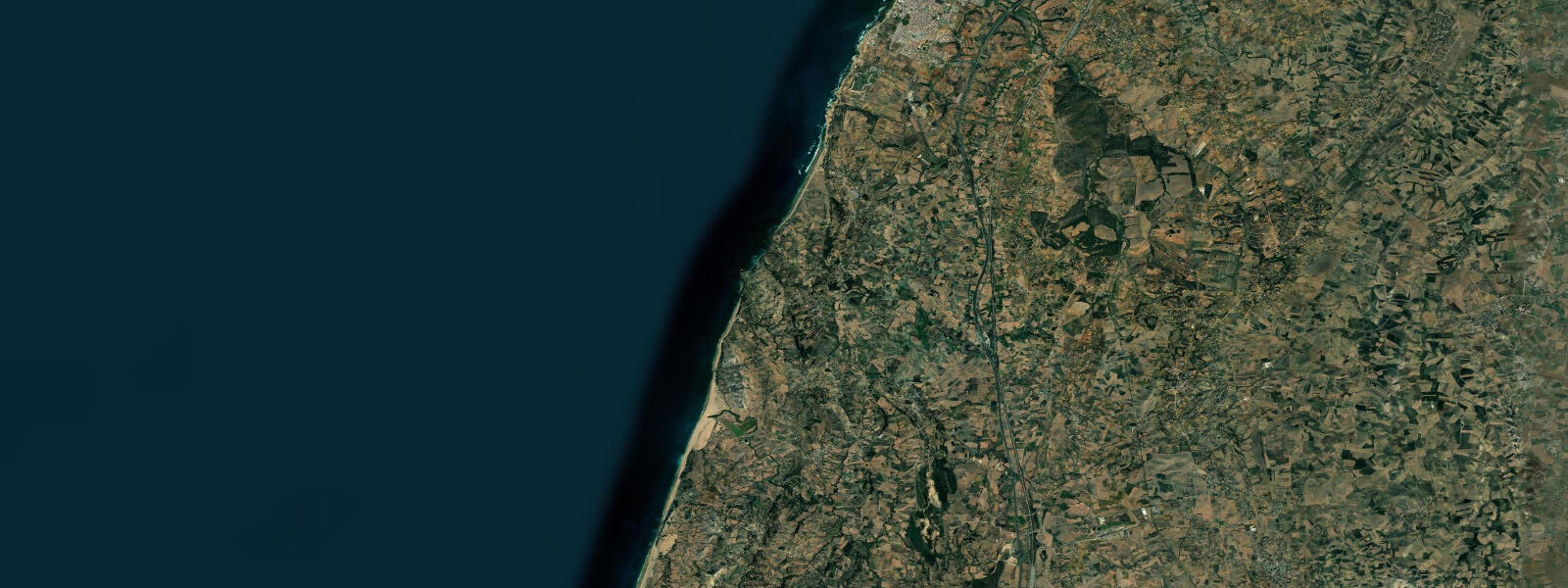
M'diq is on the Mediterranean coast of Morocco, 30 kilometres south of Ceuta and below the Rif mountains, on the narrow coastal strip between the mountain range and the sea. The tidal range here is a different world from the Atlantic side of the Tanger-Tétouan region: mean range approximately 0.5 to 0.7 metres, compared to 1.5 metres at Tangier 55 kilometres to the west. The Strait of Gibraltar progressively attenuates the Atlantic tidal signal as it moves east; M'diq sits far enough inside the Mediterranean approach that the tide is minor, and the character of the coast shifts accordingly.
With a 0.5 to 0.7 metre range on the gently graded Mediterranean beach, the tidal change is barely perceptible to a casual observer — the waterline shifts perhaps 10 to 20 metres on springs. The beach character at M'diq is consequently more constant through the day than Atlantic beaches: a wide, flat sand beach backed by the resort development of the town, sheltered from Atlantic swell by the Rif headlands and Cap Spartel to the northwest, with calm Mediterranean surface conditions for most of the year. Water temperature reaches 26 to 28°C in July and August — warmer than the Atlantic coast at the same latitude, where the Canary Current keeps summer temperatures at 20 to 22°C.
The Rif mountains rise steeply behind M'diq, reaching 2 kilometres inland to ridgelines of 800 to 1,000 metres. The contrast between the flat beach promenade and the mountain backdrop defines the visual character of the town. The drive into the mountains above M'diq, through the cedar forests and Berber villages of the western Rif, is accessible within 30 minutes from the coast.
M'diq has a fishing harbour at its northern end — a working fleet targeting Mediterranean species including merlan (whiting), sar (sea bream), bar (sea bass), and red mullet (rouget). The fish market at the harbour is the direct supply point for the seafood restaurants on the corniche. Mediterranean fishing on this coast does not have the same tidal dependence as Atlantic fishing: with a 0.6-metre range, the tide does not dramatically alter access to the seabed, but the tidal currents around the Ceuta peninsula and through the approaches to the Strait remain relevant for commercial fishing boats.
Ceuta, the Spanish enclave, is 30 kilometres north by road — a day trip crossing the international border (carry passport; EU citizens have no-wait lanes). Tétouan, the nearest Moroccan city and the regional capital of Tanger-Tétouan-Al Hoceima, is 12 kilometres south. Tétouan's old medina is a UNESCO World Heritage Site — one of the best-preserved Andalusian-influenced medinas in Morocco, with whitewashed houses and a street plan that reflects the city's founding by Moorish and Jewish exiles from the 1492 Reconquista.
Tide predictions on this page come from Open-Meteo Marine, a gridded global ocean model. Accuracy is typically within plus or minus 45 minutes on timing and 0.2 to 0.3 metres on height. At M'diq, where the mean range is only 0.5 to 0.7 metres, the model's height uncertainty of 0.2 to 0.3 metres represents a larger proportion of the total tidal range than on the Atlantic coast — tide timing remains useful, but height predictions carry proportionally more uncertainty. For authoritative official tide data for Mediterranean Morocco, consult SHOMAR — Service Hydrographique et Océanographique de la Marine.
Tide questions about M'diq
Quick answers to the most common questions about tide times, range, and water access at M'diq.
Why is the tidal range at M'diq so much smaller than at Tangier?
M'diq is on the Mediterranean side of the Tanger-Tétouan region, approximately 55 kilometres east of Tangier through the Strait of Gibraltar. The Mediterranean Sea has almost no independent tidal signal — it is a semi-enclosed basin connected to the Atlantic only through the Strait. The Atlantic tide enters the Strait and propagates eastward, but the tidal range attenuates rapidly: Tangier on the Atlantic side has a mean range of approximately 1.5 metres; inside the Strait the range drops sharply. By M'diq, 55 kilometres into the Mediterranean from the Atlantic junction, the mean range is only 0.5 to 0.7 metres. Further east into the Mediterranean, the range continues to fall to 0.2 to 0.3 metres along most of the North African coast.
What is the sea temperature at M'diq and how does it compare to Tangier?
M'diq's Mediterranean water reaches 26 to 28°C in July and August — among the warmest bathing temperatures on the Moroccan coast. The Atlantic beaches near Tangier and Asilah run 20 to 22°C in summer, cooled by the Canary Current upwelling along the Atlantic-facing coast. The difference is significant: M'diq's Mediterranean water is warm enough for extended swimming without a wetsuit from late May through October. Winter (December–February) temperatures drop to 14 to 16°C on the Mediterranean side, similar to the Atlantic. The protected, calm Mediterranean surface conditions at M'diq also make it better suited for young swimmers and family beach use than the more exposed Atlantic beaches.
What is in Tétouan and is it worth visiting from M'diq?
Tétouan is 12 kilometres south of M'diq — 20 minutes by car or grand taxi. The medina of Tétouan is a UNESCO World Heritage Site (inscribed 1997): a compact, well-preserved Andalusian-Moroccan medina founded in the late 15th century by Moorish and Jewish exiles from the Reconquista. The street plan, the house facades, the tilework, and the market structure reflect the Andalusian urban tradition. The Tétouan Archaeological Museum and the Ethnographic Museum are inside the historic centre. The medina is significantly less tourist-oriented than Fès or Marrakech; the working residential and commercial character is intact. A half-day from M'diq covers the medina circuit comfortably.
Can you swim at M'diq beach year-round?
Swimming is comfortable from May through October — water temperature ranges from 18°C in May to 28°C in August and back to 18 to 20°C by October. July and August are peak season; the beach is busy and water is at its warmest. November through March the water drops to 14 to 16°C — cold for open-water swimming without a wetsuit, though local fishermen are on the water year-round. The Mediterranean surface conditions at M'diq are calm most of the year; the beach faces northwest and is sheltered from the dominant Atlantic swell by the Rif headlands and Cap Spartel. In summer, afternoon northerly winds (the local equivalent of the Alizé) can generate small chop, but the sea remains swimmable.
Are the tide predictions on this page official forecasts I can use for navigation or safety decisions?
No. Predictions here come from Open-Meteo Marine, a global ocean model with a typical accuracy of plus or minus 45 minutes on timing and 0.2 to 0.3 metres on height. At M'diq, where the mean tidal range is only 0.5 to 0.7 metres, that height uncertainty is proportionally larger than on the Atlantic coast — the model's error band represents 30 to 60 percent of the total tidal range. Tide timing predictions remain useful for general planning, but height predictions should be treated with more caution than at Atlantic locations. For authoritative official tide data for Mediterranean Morocco and the Strait of Gibraltar approaches, consult SHOMAR — Service Hydrographique et Océanographique de la Marine.
8-day tide table — M'diq
Heights relative to MSL. Predictions: Open-Meteo Marine (MeteoFrance SMOC, 0.08° grid) — heights relative to MSL (not chart datum / LAT). Model-derived.
| Day | Type | Time | Height |
|---|---|---|---|
| Sun 21 Jun | Low | 01:42 | -0.5m |
| High | 07:38 | -0.1m | |
| Low | 13:42 | -0.6m | |
| High | 20:21 | -0.1m | |
| Mon 22 Jun | — | ||
| Tue 23 Jun | — | ||
| Wed 24 Jun | Low | 05:00 | -0.5m |
| High | 11:00 | -0.1m | |
| Low | 17:00 | -0.4m | |
| High | 23:12 | -0.1m | |
| Thu 25 Jun | Low | 05:50 | -0.5m |
| High | 12:00 | -0.1m | |
| Low | 18:00 | -0.4m | |
| Fri 26 Jun | High | 12:55 | -0.1m |
| Low | 18:50 | -0.4m | |
| Sat 27 Jun | High | 00:55 | -0.1m |
| Low | 07:10 | -0.6m | |
| High | 13:38 | -0.0m | |
| Low | 19:42 | -0.5m | |
| Sun 28 Jun | High | 00:00 | -0.1m |