Tangier tide times
Tangier tide forecast — heights relative to MSL.
Today's tide times for Tangier
Tide times at Tangier on Sunday, 21 June 2026: first low tide at 01:40, first high tide at 07:50, second low tide at 13:42, second high tide at 20:09. Sunrise 06:07, sunset 20:42.
Tide chart for Tangier
24-hour cosine-interpolated curve around the present moment. Heights relative to MSL. Predictions: Predictions: Open-Meteo Marine (MeteoFrance SMOC, 0.08° grid).
Sun, moon and conditions on Sun 21 Jun
Snapshot at build time — refreshes daily. Sea state from Open-Meteo Marine.
Highs and lows next 7 days
Every predicted high and low for the next week, with the daily tidal coefficient (0–120; higher = bigger swing, > 95 means stronger currents).
Other spots nearby
The three closest curated TideTurtle locations to Tangier, measured by great-circle distance.
Today's solunar windows
Solunar tradition: major periods are the ≈3h windows around moon transit and opposition; minor are ≈2h around moonrise and moonset. Pair with the local tide stage and wind for the best read.
Cycle dates near Tangier
Last spring tide on Sun 21 Jun (range 1.6m). Next spring tide on Sat 27 Jun (range 1.4m). Next neap on Thu 25 Jun.
Spring tides cluster around new and full moons (biggest swings). Neap tides land on quarter moons (smallest swings). See the spring tide and neap tide glossary entries for the why.
About tides at Tangier
A short guide to the coastline at Tangier — geography, sea state, and what the tide is actually doing under your feet.
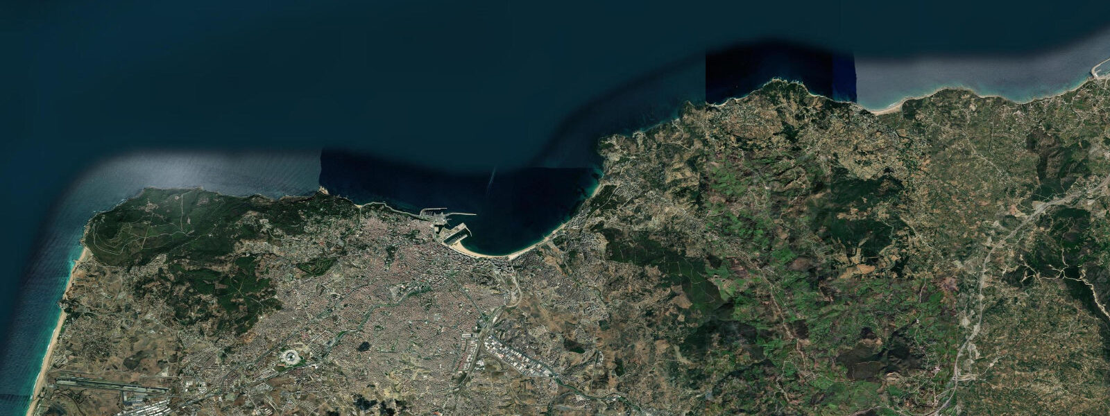
Tangier stands at the northwest tip of Africa, where the Atlantic Ocean meets the Strait of Gibraltar and the European coast of Spain is 14 kilometres to the north. On a clear day — most days — the white limestone cliffs of Tarifa and the Andalusian hills are visible from the Tangier waterfront without optical aid. Two continents, two seas, one city: the junction is not metaphorical. The geology connects them: the Rif mountains above Tangier and the Betic Cordillera of southern Spain were once the same mountain range before the Strait opened approximately 5.3 million years ago.
The tidal regime at Tangier is semidiurnal Atlantic — two highs and two lows per day — with a mean range of approximately 1.5 metres. Spring range reaches around 2.0 metres. The tide here is the full Atlantic signal; the range attenuates rapidly eastward through the Strait toward the Mediterranean. Tidal currents in the Strait narrows reach 2 to 3 knots, running east on the flood (surface Atlantic water flowing into the Mediterranean) and west on the ebb, though the deep two-layer exchange is more complex — denser saltier Mediterranean water flows west beneath the eastward surface current continuously.
The port of Tangier handles ferry traffic to Tarifa (35 minutes), Algeciras (1.5 hours), and Sète in France. Tangier Med, the container port 40 kilometres east, has become one of the largest ports in Africa and the transit hub for Europe-Africa containerised trade. The old port in the centre of the city retains the medina quarter above it — the Grand Socco, the kasbah on the hilltop, the narrow derbs of the medina descending to the waterfront.
The medina of Tangier is the historic quarter above the port: the Petit Socco at its centre, the kasbah at its highest point with views over both the Atlantic and the Strait. The American Legation — the first US diplomatic property overseas, established 1821 and still in use as a museum and cultural institute — is in the medina. Tangier was an International Zone from 1923 to 1956, administered by a consortium of European powers and Morocco; the period produced a city with an unusually mixed architectural and cultural character. The legacy is visible in the architecture of the Ville Nouvelle (French), the Spanish quarter around the Gran Teatro Cervantes, and the consular buildings near the seafront.
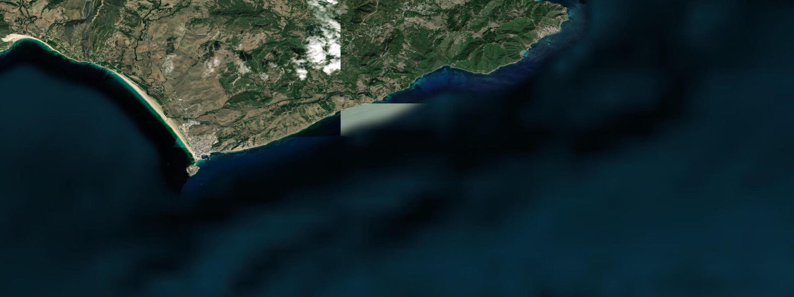
Playa Merkala, on the Atlantic side northwest of the city, and the beaches of the Tangier Bay (on the Mediterranean side) have different character. The Atlantic beaches pick up northwest swell directly; the bay beaches are calmer, in the shelter of Cap Spartel to the northwest. Cap Spartel itself — where the Atlantic and Mediterranean meet — is 14 kilometres west of the city and marked by a 19th-century lighthouse built by the international powers that administered the coast.
Fishing from the corniche and the Merkala beach targets bream, bass, and occasional mullet; the tidal current around Cap Spartel is significant on spring tides and affects fishing timing. The mixing of Atlantic and Mediterranean water at the cap creates productive feeding conditions for pelagic fish.
Tide predictions on this page come from Open-Meteo Marine, a gridded global ocean model. Accuracy is typically within plus or minus 45 minutes on timing and 0.2 to 0.3 metres on height. For authoritative official predictions for Tangier and the Strait, consult SHOMAR — Service Hydrographique et Océanographique de la Marine.
Tide questions about Tangier
Quick answers to the most common questions about tide times, range, and water access at Tangier.
What is the tidal range at Tangier and how do Strait of Gibraltar currents affect the coast?
Tangier has a semidiurnal Atlantic tidal regime with a mean range of approximately 1.5 metres and a spring range of around 2.0 metres. More significant for maritime activity than the tidal range is the tidal current in the Strait: at the narrows near Tarifa, 30 kilometres east, the surface current reaches 2 to 3 knots. The current runs eastward on the flood (surface Atlantic water flowing into the Mediterranean) and westward on the ebb. For vessels transiting the Strait, timing the current is standard passage planning. For shore anglers at Cap Spartel or the Tangier corniche, the tidal current brings food to ambush points and the last 2 hours of flood and first 2 of ebb are the productive fishing windows.
Can you see Europe from Tangier?
Yes — on clear days, which is most days, the coast of Spain is visible from Tangier with the naked eye. The distance to Tarifa at the closest point is approximately 14 kilometres. The white limestone cliffs of Tarifa point and the Andalusian hills behind are distinct. From Cap Spartel (14 km west of the city) and the kasbah hilltop the view spans both the Atlantic and the Strait, with Europe to the north and the Moroccan Rif coast receding east. The geology of the two shores is connected — the Rif mountains of northern Morocco and the Betic Cordillera of southern Spain were once continuous before the Strait opened approximately 5.3 million years ago.
What is the Tangier International Zone and what traces does it leave?
From 1923 to 1956, Tangier was administered as an International Zone by a consortium including France, Spain, the United Kingdom, and other powers, with a Moroccan sultan nominally sovereign. The zone attracted banks, merchants, artists, spies, and expatriates operating outside the jurisdiction of any single nation. The architectural legacy is a layered city: French Art Deco in the Ville Nouvelle, Spanish colonial near the Gran Teatro Cervantes (1913, currently being restored), British consular buildings, and the American Legation (1821, now a museum in the medina) — the oldest US diplomatic property overseas. The period produced writers from Paul Bowles to William Burroughs; the cultural residue is still referenced in the city's self-presentation.
What beaches are accessible from Tangier?
Tangier Bay beaches (Playa de Corniche, Playa de Malabata) are on the Mediterranean side of the city — calmer, sheltered from Atlantic swell by Cap Spartel to the northwest. These are the standard urban beaches for swimming and summer use, with water temperature reaching 24 to 26°C in July and August. Playa Merkala and the Atlantic-facing beaches northwest of the city pick up northwest swell directly and are used for surfing in autumn and winter. Cap Spartel, 14 kilometres west, has smaller coves at the base of the headland where Atlantic and Mediterranean water mix. The best swimming conditions in the bay are on incoming tide when the water is refreshed from the Strait.
Are the tide predictions on this page official forecasts I can use for navigation or maritime planning in the Strait?
No. Predictions on this page come from Open-Meteo Marine, a global ocean model with a typical accuracy of plus or minus 45 minutes on timing and 0.2 to 0.3 metres on height. The Strait of Gibraltar is one of the most heavily transited waterways in the world; tidal current timing in the narrows reaches 2 to 3 knots and is safety-critical for vessel passage. For any navigation, ferry approach, or maritime operation in the Strait or at Tangier port, use official predictions from SHOMAR — Service Hydrographique et Océanographique de la Marine — and cross-reference with the Spanish Instituto Hidrográfico de la Marina (IHM) for Tarifa gauge data on the northern shore.
8-day tide table — Tangier
Heights relative to MSL. Predictions: Open-Meteo Marine (MeteoFrance SMOC, 0.08° grid) — heights relative to MSL (not chart datum / LAT). Model-derived.
| Day | Type | Time | Height |
|---|---|---|---|
| Sun 21 Jun | Low | 01:40 | -1.1m |
| High | 07:50 | 0.3m | |
| Low | 13:42 | -0.9m | |
| High | 20:09 | 0.5m | |
| Mon 22 Jun | Low | 02:34 | -1.0m |
| High | 08:52 | 0.3m | |
| Low | 14:42 | -0.8m | |
| High | 21:10 | 0.4m | |
| Tue 23 Jun | Low | 03:35 | -0.8m |
| High | 09:53 | 0.3m | |
| Low | 15:50 | -0.7m | |
| High | 22:12 | 0.4m | |
| Wed 24 Jun | Low | 17:06 | -0.7m |
| Thu 25 Jun | High | 11:50 | 0.3m |
| Low | 18:02 | -0.8m | |
| Fri 26 Jun | High | 00:11 | 0.3m |
| Low | 06:16 | -0.9m | |
| High | 12:39 | 0.4m | |
| Low | 18:53 | -0.9m | |
| Sat 27 Jun | High | 01:00 | 0.3m |
| Low | 07:00 | -0.9m | |
| High | 13:21 | 0.5m | |
| Low | 19:34 | -0.9m | |
| Sun 28 Jun | High | 00:00 | 0.1m |