Casablanca tide times
Casablanca tide forecast — heights relative to MSL.
Today's tide times for Casablanca
Tide times at Casablanca on Sunday, 26 July 2026: first high tide at 12:51, first low tide at 19:08. Sunrise 06:37, sunset 20:35.
Tide chart for Casablanca
24-hour cosine-interpolated curve around the present moment. Heights relative to MSL. Predictions: Predictions: Open-Meteo Marine (MeteoFrance SMOC, 0.08° grid).
Sun, moon and conditions on Sun 26 Jul
Snapshot at build time — refreshes daily. Sea state from Open-Meteo Marine.
Highs and lows next 7 days
Every predicted high and low for the next week, with the daily tidal coefficient (0–120; higher = bigger swing, > 95 means stronger currents).
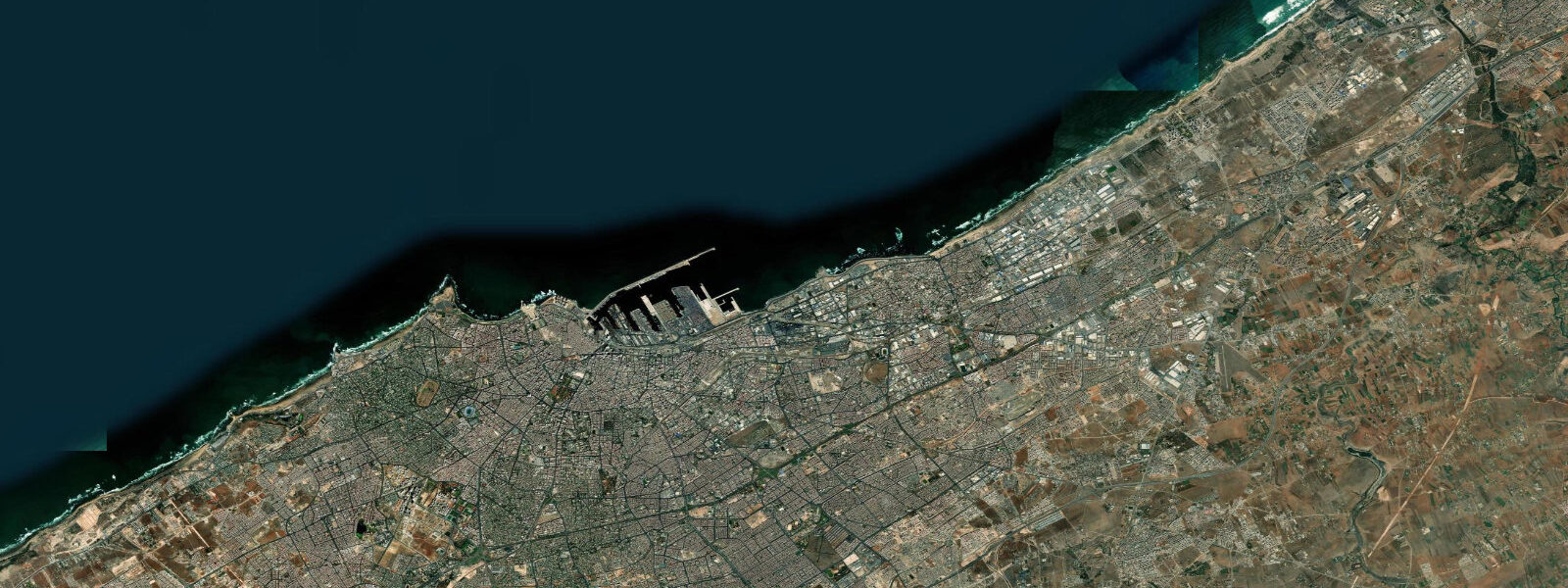
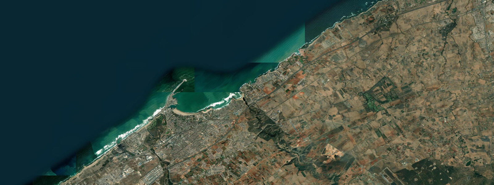
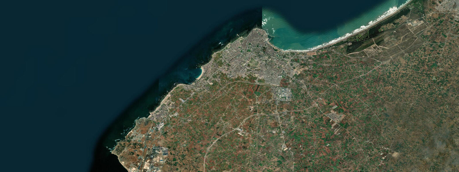
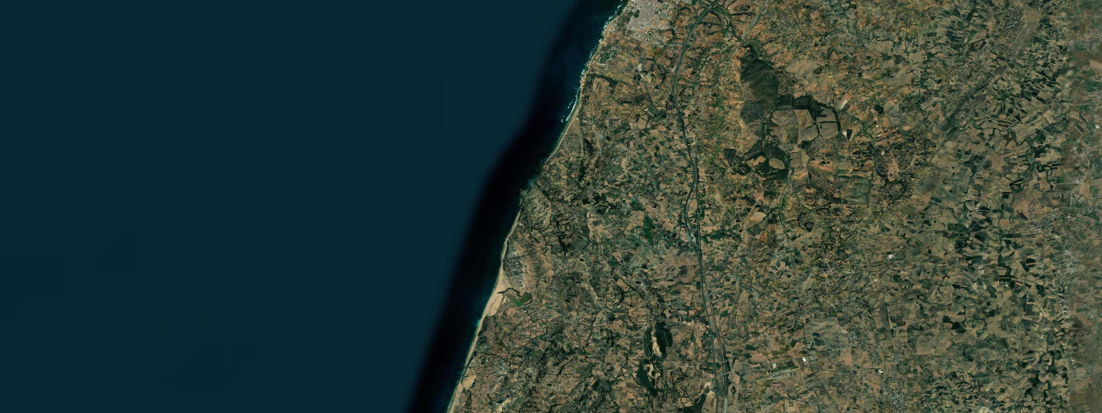
Other spots nearby
The three closest curated TideTurtle locations to Casablanca, measured by great-circle distance.
Today's solunar windows
Solunar tradition: major periods are the ≈3h windows around moon transit and opposition; minor are ≈2h around moonrise and moonset. Pair with the local tide stage and wind for the best read.
Cycle dates near Casablanca
Next spring tide on Sat 01 Aug (range 2.6m). Last neap on Sun 26 Jul.
Spring tides cluster around new and full moons (biggest swings). Neap tides land on quarter moons (smallest swings). See the spring tide and neap tide glossary entries for the why.
About tides at Casablanca
A short guide to the coastline at Casablanca — geography, sea state, and what the tide is actually doing under your feet.
Casablanca fronts the Atlantic on Morocco's central coast, the country's largest city and its working economic capital with the busiest port in the Maghreb on the broad sandy bay just south of the Bouregreg river mouth at Rabat. The Hassan II Mosque sits on a platform built directly out into the surf at the western edge of the city corniche, with the prayer-hall floor laid above the breaking Atlantic so that the architectural intent draws on the Quranic verse about God's throne above the waters; the platform is a tide-cycle landmark in itself, with the swell breaking against the seaward esplanade at every flood. 3 on neaps.
The pattern is two highs and two lows of comparable size about twelve and a half hours apart. The country's long Atlantic-facing coast runs an open-ocean swell regime that builds the famous Moroccan surf culture — Anchor Point and Boilers up the coast at Taghazout further south are the marquee waves, but Casablanca's Dar Bouazza, Bouznika, and the Mohammedia beachbreak all hold their own days and the right swell turns the Aïn Diab corniche into a working surf coast. 5 event that levelled Lisbon also generated a transoceanic tsunami that reached the Moroccan coast within an hour, and contemporary records describe wave heights at Salé and Casablanca exceeding ten metres.
The same fault system remains active and the long Atlantic-facing coastline remains a recognised tsunami risk zone with the Centre National pour la Recherche Scientifique et Technique (CNRST) operating the surveillance network. The working container traffic at the port handles the bulk of the country's trade and tide-time matters for the dredged-channel approach windows; the long sand at Aïn Diab, the surf at Dar Bouazza, the corniche running west toward Mohammedia, and the medina-edge fishing port all read the table for different windows. Open-Meteo Marine drives the gridded predictions on this page; for authoritative Moroccan tide data, the Service de l'Hydrographie et de la Cartographie Marocain publishes the official tide tables and operates the port reference gauge.
Tide questions about Casablanca
Quick answers to the most common questions about tide times, range, and water access at Casablanca.
When is the next high tide at Casablanca?
The hero block shows the next high tide at the Casablanca port gauge in local Moroccan time (WET in winter, WEST in summer, with the Ramadan adjustment that the country runs each year). The 7-day table covers all daily highs and lows. The Mohammedia gauge 30 kilometres up the coast reads within a few minutes of the Casablanca timing.
What's the typical tide range at Casablanca?
Mean range is about 2.3 metres at the port gauge — a moderate semidiurnal signal. Spring tides push close to 3.6 metres and neaps drop near 1.3. Two highs and two lows of comparable size about twelve and a half hours apart. The Moroccan Atlantic coast runs a cleaner astronomical signal than the Mediterranean side of the country, where the tide drops to under half a metre.
Where do these tide predictions come from?
Open-Meteo Marine, a gridded global ocean model. Useful for planning the Aïn Diab and Dar Bouazza surf sessions, the corniche walks, and the working port windows. For authoritative Moroccan tide data, the Service de l'Hydrographie et de la Cartographie Marocain publishes the official tide tables and operates the Casablanca port reference gauge.
Was Casablanca affected by the 1755 Lisbon tsunami?
Yes. The November 1755 Lisbon earthquake — magnitude approximately 8.5 — generated a transoceanic tsunami that reached the Moroccan coast within an hour of the rupture. Contemporary chronicles describe wave heights at Salé, Casablanca, and Larache exceeding ten metres in places, with significant casualties and damage to the coastal cities. The same fault system in the Gulf of Cadiz remains seismically active and the Atlantic-facing Moroccan coast is recognised as a tsunami risk zone. The CNRST operates the modern surveillance network.
Is this safe to use for navigation?
No. For piloting in or out of Casablanca, transiting the Atlantic shelf, or working the Mohammedia and El Jadida approaches use the Service de l'Hydrographie et de la Cartographie Marocain authoritative tide tables, the Marine Royale Marocaine pilotage guidance, and the Direction de la Marine Marchande notices to mariners. Atlantic storm surge from winter low-pressure systems can override the harmonic signal entirely.
7-day tide table — Casablanca
Heights relative to MSL. Predictions: Open-Meteo Marine (MeteoFrance SMOC, 0.08° grid) — heights relative to MSL (not chart datum / LAT). Model-derived.
| Day | Type | Time | Height |
|---|---|---|---|
| Sun 26 Jul | High | 12:51 | 0.5m |
| Low | 19:08 | -1.1m | |
| Mon 27 Jul | High | 01:19 | 0.4m |
| Low | 07:14 | -1.1m | |
| High | 13:34 | 0.7m | |
| Low | 19:47 | -1.2m | |
| Tue 28 Jul | High | 01:56 | 0.6m |
| Low | 07:49 | -1.2m | |
| High | 14:08 | 0.9m | |
| Low | 20:22 | -1.3m | |
| Wed 29 Jul | High | 02:32 | 0.7m |
| Low | 08:23 | -1.3m | |
| High | 14:43 | 1.0m | |
| Low | 20:55 | -1.5m | |
| Thu 30 Jul | High | 03:03 | 0.7m |
| Low | 08:55 | -1.4m | |
| High | 15:14 | 1.0m | |
| Low | 21:25 | -1.5m | |
| Fri 31 Jul | High | 03:36 | 0.8m |
| Low | 09:26 | -1.4m | |
| High | 15:45 | 1.1m | |
| Low | 21:58 | -1.5m | |
| Sat 01 Aug | High | 04:06 | 0.8m |
| Low | 10:00 | -1.4m | |
| High | 16:16 | 1.1m | |
| Low | 22:32 | -1.5m |