Mohammedia, Casablanca-Settat tide times
Mohammedia, Casablanca-Settat tide forecast — heights relative to MSL.
Today's tide times for Mohammedia, Casablanca-Settat
Tide times at Mohammedia, Casablanca-Settat on Friday, 19 June 2026: first low tide at 01:00, first high tide at 05:48, second low tide at 11:43, second high tide at 18:02. Sunrise 06:19, sunset 20:42.
Tide chart for Mohammedia, Casablanca-Settat
24-hour cosine-interpolated curve around the present moment. Heights relative to MSL. Predictions: Predictions: Open-Meteo Marine (MeteoFrance SMOC, 0.08° grid).
Sun, moon and conditions on Fri 19 Jun
Snapshot at build time — refreshes daily. Sea state from Open-Meteo Marine.
Highs and lows next 7 days
Every predicted high and low for the next week, with the daily tidal coefficient (0–120; higher = bigger swing, > 95 means stronger currents).
Other spots nearby
The three closest curated TideTurtle locations to Mohammedia, Casablanca-Settat, measured by great-circle distance.
Today's solunar windows
Solunar tradition: major periods are the ≈3h windows around moon transit and opposition; minor are ≈2h around moonrise and moonset. Pair with the local tide stage and wind for the best read.
Cycle dates near Mohammedia, Casablanca-Settat
Last spring tide on Fri 19 Jun (range 2.5m). Next neap on Wed 24 Jun.
Spring tides cluster around new and full moons (biggest swings). Neap tides land on quarter moons (smallest swings). See the spring tide and neap tide glossary entries for the why.
About tides at Mohammedia, Casablanca-Settat
A short guide to the coastline at Mohammedia, Casablanca-Settat — geography, sea state, and what the tide is actually doing under your feet.
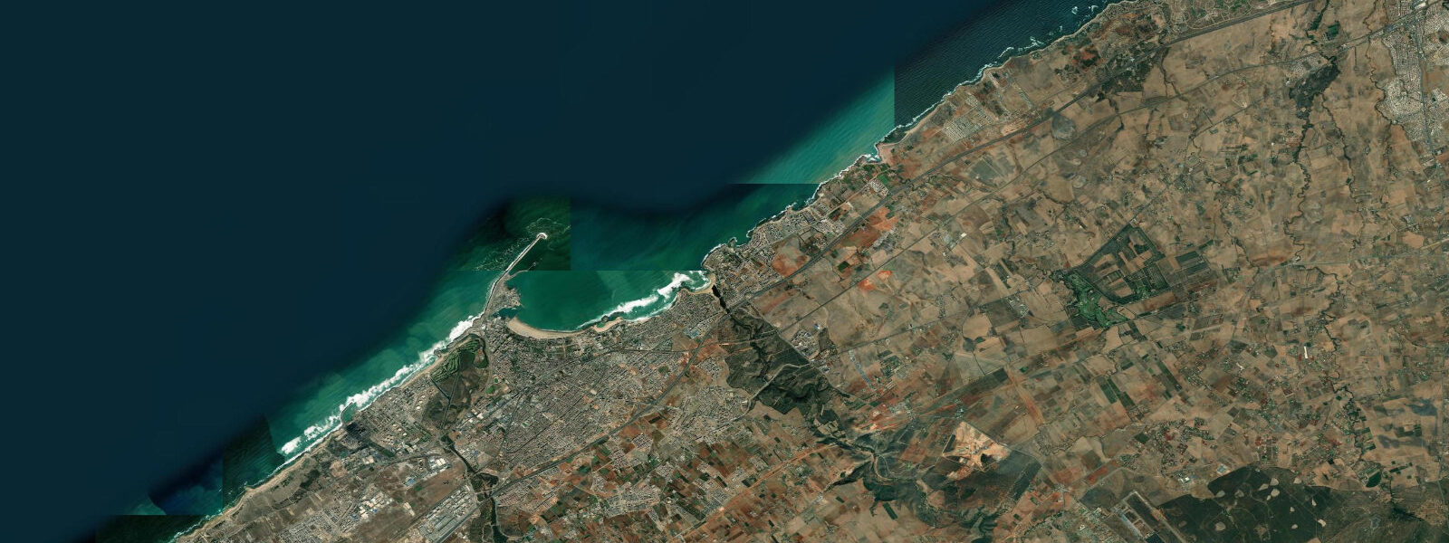
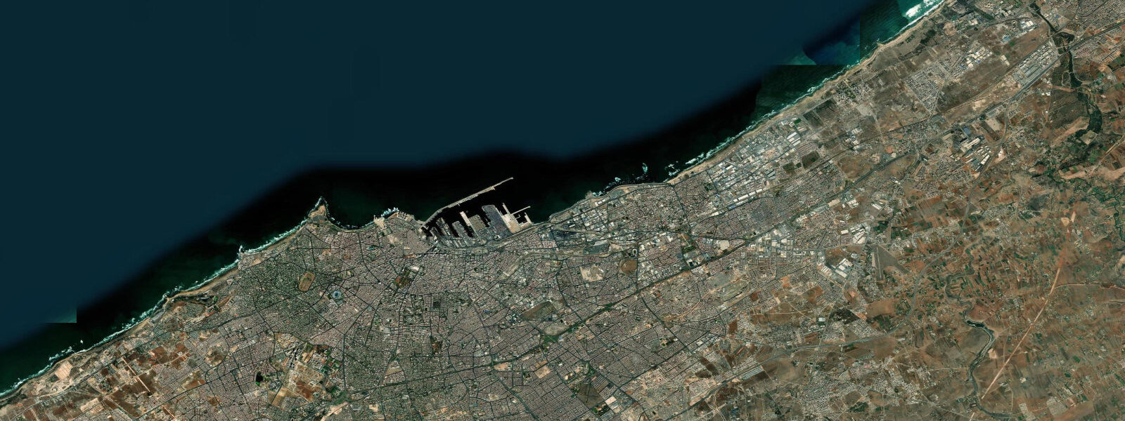
Mohammedia sits on the Atlantic coast of Morocco 25 km northeast of Casablanca, a city of around 200,000 whose economy runs on two tracks: a large petroleum refinery and petrochemical complex to the south of town, and a public beach (Plage de Mohammedia) that draws hundreds of thousands of visitors from greater Casablanca on summer weekends. The two exist in proximity that surprises first-time visitors — the beach is clean, the refinery is over the hill, and the fishing harbour between them handles a mixed fleet of artisanal pirogues and semi-industrial trawlers.
The semidiurnal Atlantic tide here runs a mean spring range of 2.5 to 3.5 m. The two high waters per day are unequal in height — diurnal inequality on the Moroccan Atlantic coast produces a difference of 0.2 to 0.4 m between the two highs in a given day, more pronounced at certain times of the lunar cycle. For the beach this means the afternoon high water is sometimes significantly lower than the morning one, and vice versa: the afternoon beach width can vary enough to matter for a family choosing when to arrive.
Plage de Mohammedia stretches roughly 2 km in an arc north of the fishing harbour, facing west into the Atlantic. At low water on a spring tide the beach widens by 80 to 100 m from its high-water extent — a broad apron of hard sand that supports football games, beach volleyball, and the food and drinks vendors who set up at the water's edge. The beach is unsupervised except in peak summer weeks when municipality lifeguards operate. The Atlantic here runs cold by Saharan standards: surface temperatures are 16 to 18°C in winter and 19 to 21°C in August, kept cool by the Canary Current upwelling along the Moroccan coast.
Pointe de Mohammedia is the low headland south of the harbour that marks the eastern (landward) edge of the navigable approach channel into port. On a flooding spring tide, the tidal set runs northeast around the point, which matters to small boat operators entering or leaving the harbour: the current pushes vessels toward the south breakwater on the flood, and toward the north side on the ebb. Local pirogue operators know to compensate with an early offside correction; unfamiliar boat handlers who don't account for the set get pushed toward the breakwater rocks. The current at the point peaks at 1.5 to 2.0 knots on spring tides.
The fishing harbour itself operates on a morning rhythm tied to the tide. Artisanal pirogue fishermen typically depart before dawn on an ebbing tide — the outflow helps push small, underpowered vessels offshore faster. They return on the flood, 4 to 8 hours later depending on fishing grounds. The semi-industrial trawlers on the eastern basin have deeper draft and schedule harbour entry around 1.0 to 1.5 m over the entrance bar, which on smaller tides restricts their access to the two-hour window around high water. The fish market (souk el hout) on the harbour's west quay opens when the first boats arrive, typically between 07:00 and 09:00 on a standard working day.
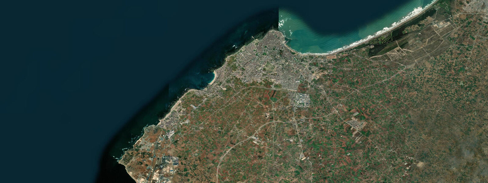
The Oued Nfifikh river mouth is 6 km northeast of Mohammedia. The river is intermittent — nearly dry in summer, carrying meaningful freshwater only after autumn and winter rain. After significant rainfall events, the river mouth creates a temporary plume of turbid, slightly fresher water that extends offshore and migrates southwest with the tidal current toward Mohammedia beach. When the plume reaches the beach, the water colour turns brownish-green; it clears within 12 to 24 hours as the river drops. This is a predictable pattern after heavy rain; beach visitors arriving the day after a storm should expect temporarily reduced water clarity.
For photographers, the harbour is most interesting at the morning tide change — pirogues returning loaded, buyers waiting on the quay, the souk el hout opening under corrugated metal awnings. The light from the east hits the harbour basin well before 09:00 in summer. The headland at Pointe de Mohammedia provides an elevated view over the harbour approach that also catches the returning fleet from a distance.
Swimming at Plage de Mohammedia is best on a light-swell day at mid-tide incoming: the water is deepening, the beach is still wide, and the wave frequency is low enough for comfortable entry. In northwest swell above 1.5 m, the beach breaks become shore-dump that makes entry and exit from the water rough on the exposed centre section. The northern end of the beach, where a rock reef provides partial shelter, handles swell better and is where experienced swimmers tend to cluster in rougher conditions.
Tide data for Mohammedia, Casablanca-Settat comes from the Open-Meteo Marine API, a gridded model product. Timing accuracy is ±45 minutes, height accuracy ±0.3 m — usable for trip planning, not for navigation.
Tide questions about Mohammedia, Casablanca-Settat
Quick answers to the most common questions about tide times, range, and water access at Mohammedia, Casablanca-Settat.
What is the tidal range at Mohammedia?
Mohammedia has a semidiurnal Atlantic tide with a mean spring range of 2.5 to 3.5 m. The two daily high waters are not equal in height — diurnal inequality on this stretch of Moroccan coast produces a difference of 0.2 to 0.4 m between the two highs within a single day, more pronounced at certain lunar phases. For practical beach use, this means the afternoon tide height can differ enough from the morning one to change beach width by 20 to 40 m. On spring tides, Plage de Mohammedia widens by 80 to 100 m from high-water extent to low-water extent. On neap tides, the variation drops to roughly 40 to 60 m.
When do fishing boats leave and return to Mohammedia harbour?
Artisanal pirogue fishermen typically depart before or around dawn on an ebbing tide, using the outflowing current to push small, underpowered vessels offshore efficiently. They return 4 to 8 hours later on the flood, depending on fishing grounds. Semi-industrial trawlers on the eastern basin have deeper draft and schedule harbour entry around the high-water window — specifically, they need at least 1.0 to 1.5 m over the entrance bar, which on smaller neap tides restricts their entry to a two-hour window around high water. The fish market (souk el hout) on the western quay opens when the first boats arrive, typically 07:00 to 09:00 on a standard morning.
Are there tidal currents around Pointe de Mohammedia?
Yes. Pointe de Mohammedia is the low headland south of the harbour that defines the edge of the navigable channel approach. On a flooding spring tide, the tidal set runs northeast around the point at 1.5 to 2.0 knots — strong enough to push small boats toward the south breakwater if the operator doesn't account for it with an early correction. On the ebb the set reverses, pushing north. Local pirogue fishermen account for this as routine; unfamiliar small-boat operators entering or leaving the harbour on a spring tide should factor the current into their approach line. Kayakers and small rigid inflatables passing close to the point in the harbour approach zone should time their transit around slack water.
Why does the water at Mohammedia beach sometimes turn murky after rain?
The Oued Nfifikh river mouth is 6 km northeast of Mohammedia. The river is dry or nearly dry in summer but carries significant sediment-laden freshwater after autumn and winter rainfall events. When the river runs, it creates a turbid plume that extends offshore and migrates southwest with the tidal current, eventually reaching Mohammedia beach. The water colour shifts to brownish-green; the plume typically disperses within 12 to 24 hours as the river drops and tidal flushing dilutes it. It is a predictable consequence of heavy rain — beach visitors arriving within a day of a major storm should expect temporarily reduced water clarity, which clears on its own without intervention.
What is the best time to swim at Plage de Mohammedia?
The most comfortable swimming window is on the incoming mid-tide, when water is deepening over sand, wave frequency is moderate, and the beach is still wide enough to spread out. In northwest swell above 1.5 m the exposed central beach develops shore-dump — waves that break steeply and directly onto the sand, making entry and exit rough. The northern end of the beach, where a rock reef provides partial shelter, handles swell better and is where experienced swimmers position themselves in rougher conditions. Water temperature is 19 to 21°C in peak summer and 16 to 18°C in winter — cool enough that extended sessions in January or February warrant a wetsuit for most people.
8-day tide table — Mohammedia, Casablanca-Settat
Heights relative to MSL. Predictions: Open-Meteo Marine (MeteoFrance SMOC, 0.08° grid) — heights relative to MSL (not chart datum / LAT). Model-derived.
| Day | Type | Time | Height |
|---|---|---|---|
| Fri 19 Jun | Low | 01:00 | -1.3m |
| High | 05:48 | 0.8m | |
| Low | 11:43 | -1.3m | |
| High | 18:02 | 1.1m | |
| Sat 20 Jun | Low | 12:38 | -1.2m |
| High | 18:56 | 0.9m | |
| Sun 21 Jun | Low | 01:27 | -1.3m |
| High | 07:37 | 0.5m | |
| Low | 13:33 | -1.1m | |
| High | 19:55 | 0.7m | |
| Mon 22 Jun | Low | 02:23 | -1.2m |
| High | 08:39 | 0.4m | |
| Low | 14:37 | -1.0m | |
| High | 20:57 | 0.5m | |
| Tue 23 Jun | Low | 03:19 | -1.1m |
| High | 09:42 | 0.4m | |
| Low | 15:46 | -0.9m | |
| High | 22:03 | 0.4m | |
| Wed 24 Jun | Low | 04:22 | -1.0m |
| High | 10:42 | 0.4m | |
| Low | 16:54 | -0.9m | |
| High | 23:06 | 0.4m | |
| Thu 25 Jun | Low | 05:15 | -1.0m |
| High | 11:38 | 0.5m | |
| Low | 17:51 | -1.0m | |
| Fri 26 Jun | High | 00:00 | 0.4m |