La Paz tide times
La Paz tide forecast — heights relative to MSL.
Today's tide times for La Paz
Tide times at La Paz on Friday, 19 June 2026: first low tide at 05:37, first high tide at 13:06, second low tide at 17:10, second high tide at 22:42. Sunrise 05:33, sunset 19:11.
Tide chart for La Paz
24-hour cosine-interpolated curve around the present moment. Heights relative to MSL. Predictions: Predictions: Open-Meteo Marine (MeteoFrance SMOC, 0.08° grid).
Sun, moon and conditions on Fri 19 Jun
Snapshot at build time — refreshes daily. Sea state from Open-Meteo Marine.
Highs and lows next 7 days
Every predicted high and low for the next week, with the daily tidal coefficient (0–120; higher = bigger swing, > 95 means stronger currents).
Other spots nearby
The three closest curated TideTurtle locations to La Paz, measured by great-circle distance.

Today's solunar windows
Solunar tradition: major periods are the ≈3h windows around moon transit and opposition; minor are ≈2h around moonrise and moonset. Pair with the local tide stage and wind for the best read.
Cycle dates near La Paz
Next spring tide on Wed 24 Jun (range 1.0m). Next neap on Mon 22 Jun.
Spring tides cluster around new and full moons (biggest swings). Neap tides land on quarter moons (smallest swings). See the spring tide and neap tide glossary entries for the why.
About tides at La Paz
A short guide to the coastline at La Paz — geography, sea state, and what the tide is actually doing under your feet.
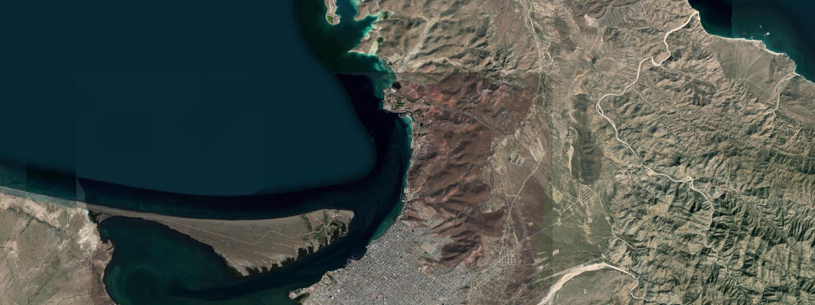
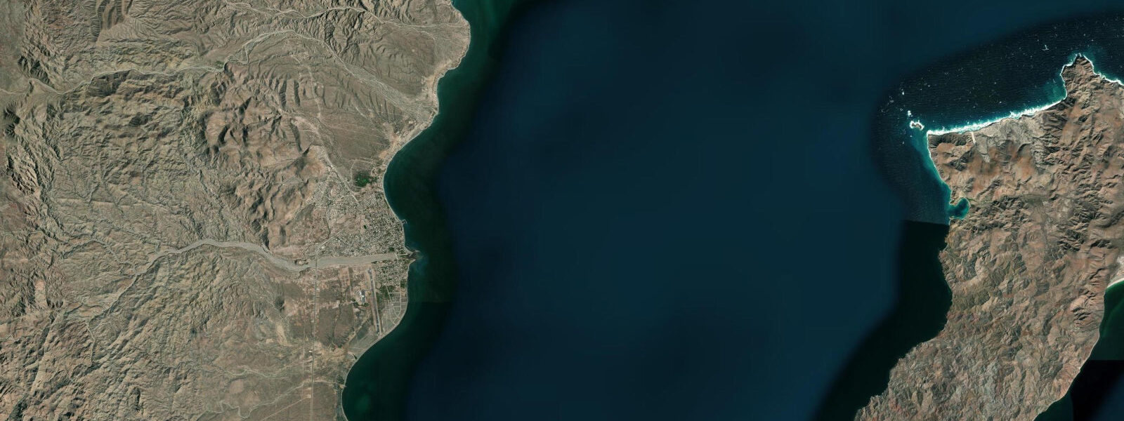
La Paz is the capital of Baja California Sur, on the Sea of Cortez coast at the tip of the Baja peninsula. The city waterfront (El Malecón) stretches for 5 km along the bay, backed by mangroves and facing the shallow, sheltered bay of La Paz. Tidal pattern is mixed semidiurnal with a mean spring range of about 0.8 to 1.2 metres. La Paz is the dive and marine encounter capital of the Baja peninsula — whale sharks, sea lions, mobula rays, and sea turtles are all accessible on day trips from the city.
The whale shark season at La Paz runs October through May, with peak concentrations from November through March when whale sharks aggregate in the shallow, warm bay waters. Unlike many whale shark destinations, La Paz whale sharks are encountered snorkelling in very calm water — the bay is sheltered and the visibility (5 to 10 metres on good days, occasionally more) allows prolonged snorkel encounters. The sharks feed on fish eggs and zooplankton near the surface; snorkellers drift alongside them without diving. This is one of the most accessible whale shark experiences in the world.
The sea lion colony at Los Islotes — a rocky islet north of Espíritu Santo island — is a world-class wildlife snorkel experience. The colony has 400+ California sea lions; young sea lions play actively with snorkellers, biting fins, blowing bubbles, and performing loops. The colony is reached by a 45-minute panga ride from La Paz; most operators combine sea lions with whale sharks in a single day trip.
Espíritu Santo island, a 2-hour panga ride north of La Paz, is the pinnacle of the Sea of Cortez marine environment within day-trip range. The UNESCO Biosphere Reserve island has sea lion colonies, whale sharks, mobula ray schools, hammerhead shark aggregations (at the deep water pinnacles, requiring scuba), and remote sand beaches accessible only by sea. Kayaking Espíritu Santo's coastline (with camping on the island beaches) is a 3 to 5 day trip.
The mangrove channels around the La Paz bay provide a productive kayaking environment for bird watching — herons, spoonbills, frigatebirds, and pelicans are resident. The calm water of the inner bay is ideal for beginners.
Predictions on this page come from Open-Meteo Marine, a gridded global ocean model. Accuracy is typically within plus or minus 45 minutes on timing and 0.2 to 0.3 metres on height — model-derived, not from a local gauge. For Mexican tide data, consult SEMAR at digmer.semar.gob.mx.
Tide questions about La Paz
Quick answers to the most common questions about tide times, range, and water access at La Paz.
When can I swim with whale sharks at La Paz?
La Paz whale shark season runs October through May; peak concentrations are November through March. The whale sharks aggregate in the shallow bay waters to feed on fish eggs and zooplankton. Snorkel encounters (not scuba) are conducted from pangas; the experience is remarkably calm and accessible compared to open-ocean whale shark locations. Multiple licensed operators run half-day trips; book through the La Paz waterfront tour agencies. Touching is prohibited by law.
Is swimming with sea lions at Los Islotes appropriate for non-divers?
Yes — the Los Islotes sea lion encounter is conducted entirely at the surface (snorkelling, no scuba required). The young sea lions are curious and bold; they approach snorkellers closely, tug at fins, and perform playful acrobatics. The site is in open water with slight current; snorkellers need to be comfortable in open water with basic swim skills. The panga stays nearby. Water temperature is 20 to 24°C in peak season; a 3mm wetsuit is comfortable.
What is Espíritu Santo island?
Espíritu Santo is a volcanic island 25 km north of La Paz, protected as a UNESCO Biosphere Reserve and a Mexican National Marine Park. The island has 14 uninhabited beaches, sea lion colonies, whale shark aggregation sites, and the offshore pinnacles of El Bajo and La Paz Seamount — famous for aggregations of scalloped hammerhead sharks (best June through October). Day trips from La Paz or multi-day kayak camping on the island are the access options.
What is the tidal range at La Paz?
Mean spring range at La Paz is approximately 0.8 to 1.2 metres. The bay's shallow, sheltered geometry amplifies the tidal exchange; tidal current in the channel between Espíritu Santo island and the peninsula can run 1.5 to 2 knots on spring tides. Kayakers crossing to the island should plan with the tidal current for long crossings. The mangrove channels inside the bay respond visibly to the tide — low water exposes the mangrove roots and mudflat; high water floods to the vegetation edge.
How do I get to La Paz?
La Paz Internacional de Baja California Sur Airport (LAP) has direct flights from Los Angeles, Phoenix, and major Mexican hubs (Mexico City, Guadalajara, Monterrey). Ferry from Mazatlán or Topolobampo (mainland Mexico) takes 6 to 10 hours (ferry operators Baja Ferries and TMC). The Trans-Peninsular Highway (Mex-1) connects to Los Cabos International Airport 200 km south (2.5 hours by car), which has many more international flight connections.
7-day tide table — La Paz
Heights relative to MSL. Predictions: Open-Meteo Marine (MeteoFrance SMOC, 0.08° grid) — heights relative to MSL (not chart datum / LAT). Model-derived.
| Day | Type | Time | Height |
|---|---|---|---|
| Fri 19 Jun | Low | 05:37 | -0.4m |
| High | 13:06 | 0.4m | |
| Low | 17:10 | 0.3m | |
| High | 22:42 | 0.6m | |
| Sat 20 Jun | Low | 06:15 | -0.2m |
| High | 14:00 | 0.5m | |
| Sun 21 Jun | Low | 07:00 | -0.0m |
| Mon 22 Jun | High | 15:10 | 0.7m |
| Low | 22:54 | 0.1m | |
| Tue 23 Jun | High | 15:42 | 0.7m |
| Low | 23:42 | -0.1m | |
| Wed 24 Jun | High | 16:18 | 0.8m |
| Thu 25 Jun | Low | 00:21 | -0.2m |
| High | 08:10 | 0.4m | |
| Low | 10:40 | 0.3m | |
| High | 16:00 | 0.8m |