
Cabo San Lucas, Baja California Sur tide times
Cabo San Lucas, Baja California Sur tide forecast — heights relative to MSL.
Today's tide times for Cabo San Lucas, Baja California Sur
Tide times at Cabo San Lucas, Baja California Sur on Saturday, 25 July 2026: first high tide at 17:36. Sunrise 05:47, sunset 19:04.
Tide chart for Cabo San Lucas, Baja California Sur
24-hour cosine-interpolated curve around the present moment. Heights relative to MSL. Predictions: Predictions: Open-Meteo Marine (MeteoFrance SMOC, 0.08° grid).
Sun, moon and conditions on Sat 25 Jul
Snapshot at build time — refreshes daily. Sea state from Open-Meteo Marine.
Highs and lows next 7 days
Every predicted high and low for the next week, with the daily tidal coefficient (0–120; higher = bigger swing, > 95 means stronger currents).
Other spots nearby
The three closest curated TideTurtle locations to Cabo San Lucas, Baja California Sur, measured by great-circle distance.
Today's solunar windows
Solunar tradition: major periods are the ≈3h windows around moon transit and opposition; minor are ≈2h around moonrise and moonset. Pair with the local tide stage and wind for the best read.
Cycle dates near Cabo San Lucas, Baja California Sur
Next spring tide on Wed 29 Jul (range 1.6m). Last neap on Sat 25 Jul. Next neap on Fri 31 Jul.
Spring tides cluster around new and full moons (biggest swings). Neap tides land on quarter moons (smallest swings). See the spring tide and neap tide glossary entries for the why.
About tides at Cabo San Lucas, Baja California Sur
A short guide to the coastline at Cabo San Lucas, Baja California Sur — geography, sea state, and what the tide is actually doing under your feet.
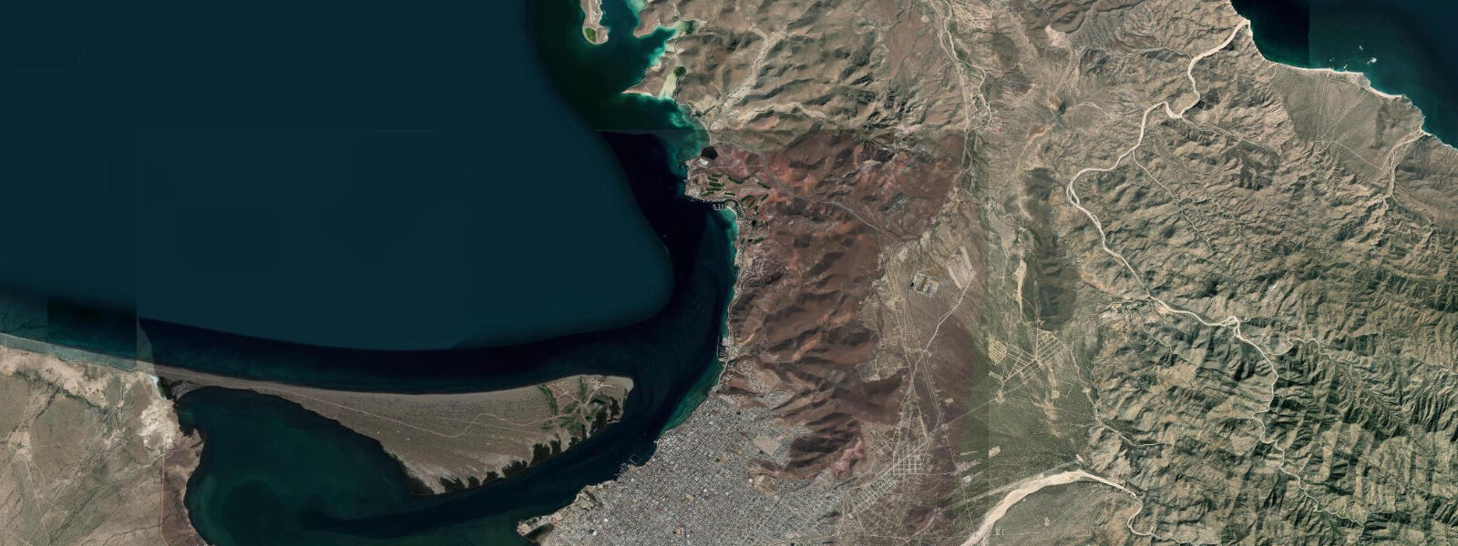
Cabo San Lucas sits at the southern tip of the long Mexican peninsula that separates the Sea of Cortez from the open Pacific, where the two ocean systems meet at Land's End — a granite arch in the water at the foot of cliffs the locals call Finisterra. The famous Lover's Beach at the base of the arch is a tide-cycle destination because the swimmable Pacific-side cove is only walk-accessible at low water through a sand-and-rock corridor that floods on the rising flood. 6 on neaps.
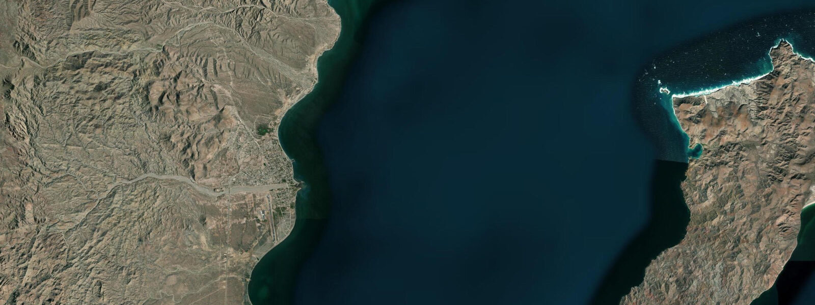
The Sea of Cortez side runs a different signal from the Pacific side: the gulf is a long narrow basin that amplifies the tide as it propagates north, and at its head near Puerto Peñasco and the Colorado River delta the range exceeds nine metres on spring tides — among the largest tidal ranges in the eastern Pacific. Cabo sits at the bottom of the gulf where the two regimes mix, so the local pattern shows both Pacific open-coast forcing and the smaller-amplitude head-of-gulf return signal. The defining recreational use of the table is the world-class sportfishing industry — striped marlin, dorado, tuna, and rooster fish are read for the bite-window timing on the change of tide, and the Cabo charter fleet at the IGY Marina runs by tide-and-bite calendar through the October-through-December peak season.
Surf at Costa Azul on the Pacific side, Cerritos up the coast, and the Pacific-facing breaks at Todos Santos read the swell more than the tide; the protected swimming inside the Cabo Bay at Médano Beach is workable across the cycle. The whale-watching season for Pacific grey whales runs January through March and the calving lagoons up the Pacific coast at San Ignacio and Magdalena Bay run on different tidal regimes that the local guide fleet reads for the breaching windows. Open-Meteo Marine drives the gridded predictions on this page; for authoritative Mexican tide data, the Mexican Navy (SEMAR) Dirección General Adjunta de Oceanografía and CICESE publish the official tide tables and operate the gauge network.
Tide questions about Cabo San Lucas, Baja California Sur
Quick answers to the most common questions about tide times, range, and water access at Cabo San Lucas, Baja California Sur.
When is the next high tide at Cabo San Lucas?
The hero block shows the next high tide at the IGY Marina harbour gauge in local Mountain Standard Time (UTC-7, year-round, no DST in Baja California Sur since 2022). The 7-day table covers all the highs and lows. High water on the Pacific side at Cerritos arrives a few minutes ahead of the marina gauge; on the Sea of Cortez side at La Paz it lags by about an hour.
What's the typical tide range at Cabo San Lucas?
Mean range at the IGY Marina gauge is about 1.1 metres, climbing past 1.6 metres on the largest spring tides and dropping near 0.6 metres on neaps. The pattern is mixed semidiurnal — two highs and two lows of unequal size each day — with the asymmetry varying through the lunar month. Further up the Sea of Cortez the range grows dramatically: at Puerto Peñasco at the head of the gulf the swing exceeds 9 metres on spring tides.
Where do these tide predictions come from?
Open-Meteo Marine, a gridded global ocean model. Useful for daily planning around the Cabo marina, the Médano Beach swimming, and the Pacific-side surf breaks. For authoritative Mexican tide data, the Mexican Navy (SEMAR) Dirección General Adjunta de Oceanografía and CICESE publish the official tide tables and operate the gauge network.
When can I walk to Lover's Beach through the arch?
Lover's Beach is the small Pacific-side cove at the base of the El Arco granite arch, accessible by water taxi from the marina at any tide and on foot through a sand-and-rock corridor only at the lowest spring lows. Plan the visit around predicted lows below 0.3 metres MLLW for an hour either side, which cluster around new and full moons. The table on this page flags each day's lowest predicted tide; pair that with the local water-taxi service if the corridor is closed by the tide.
Is this safe to use for navigation?
No. For piloting in or out of Cabo San Lucas marina, transiting the Land's End waters, or working the Sea of Cortez and the Pacific-facing surf coast use the Mexican Navy SEMAR authoritative tide tables, the Capitanía de Puerto pilotage guidance, and the Mexican Coast Guard notices to mariners. The rip currents on the Pacific-facing beaches at Solmar are working-hazardous and the open-ocean charter-fishing waters can produce four-metre confused seas in the autumn cyclone season.
8-day tide table — Cabo San Lucas, Baja California Sur
Heights relative to MSL. Predictions: Open-Meteo Marine (MeteoFrance SMOC, 0.08° grid) — heights relative to MSL (not chart datum / LAT). Model-derived.
| Day | Type | Time | Height |
|---|---|---|---|
| Sat 25 Jul | High | 17:36 | 0.9m |
| Sun 26 Jul | Low | 01:06 | -0.3m |
| High | 07:47 | 0.5m | |
| Low | 12:04 | 0.3m | |
| High | 18:13 | 1.0m | |
| Mon 27 Jul | Low | 01:34 | -0.4m |
| High | 08:03 | 0.6m | |
| Low | 12:36 | 0.2m | |
| High | 18:47 | 1.1m | |
| Tue 28 Jul | Low | 01:57 | -0.4m |
| High | 08:24 | 0.6m | |
| Low | 13:03 | 0.2m | |
| High | 19:16 | 1.1m | |
| Wed 29 Jul | Low | 02:22 | -0.5m |
| High | 08:45 | 0.7m | |
| Low | 13:35 | 0.1m | |
| High | 19:47 | 1.1m | |
| Thu 30 Jul | Low | 02:45 | -0.5m |
| High | 09:02 | 0.7m | |
| Low | 14:06 | 0.0m | |
| High | 20:14 | 1.1m | |
| Fri 31 Jul | Low | 03:06 | -0.4m |
| High | 09:20 | 0.7m | |
| Low | 14:39 | 0.0m | |
| High | 20:46 | 1.1m | |
| Sat 01 Aug | Low | 03:26 | -0.4m |
| High | 09:43 | 0.8m | |
| Low | 15:15 | 0.0m |