Hakodate tide times
Hakodate tide forecast — heights relative to MSL.
Today's tide times for Hakodate
Tide times at Hakodate on Friday, 31 July 2026: first low tide at 10:23, first high tide at 16:50, second low tide at 22:10. Sunrise 04:29, sunset 18:57.
Tide chart for Hakodate
24-hour cosine-interpolated curve around the present moment. Heights relative to MSL. Predictions: Predictions: Open-Meteo Marine (MeteoFrance SMOC, 0.08° grid).
Sun, moon and conditions on Fri 31 Jul
Snapshot at build time — refreshes daily. Sea state from Open-Meteo Marine.
Highs and lows next 7 days
Every predicted high and low for the next week, with the daily tidal coefficient (0–120; higher = bigger swing, > 95 means stronger currents).
Other spots nearby
The three closest curated TideTurtle locations to Hakodate, measured by great-circle distance.

Today's solunar windows
Solunar tradition: major periods are the ≈3h windows around moon transit and opposition; minor are ≈2h around moonrise and moonset. Pair with the local tide stage and wind for the best read.
Cycle dates near Hakodate
Last spring tide on Fri 31 Jul (range 0.9m). Next spring tide on Thu 06 Aug (range 0.6m). Next neap on Tue 04 Aug.
Spring tides cluster around new and full moons (biggest swings). Neap tides land on quarter moons (smallest swings). See the spring tide and neap tide glossary entries for the why.
About tides at Hakodate
A short guide to the coastline at Hakodate — geography, sea state, and what the tide is actually doing under your feet.
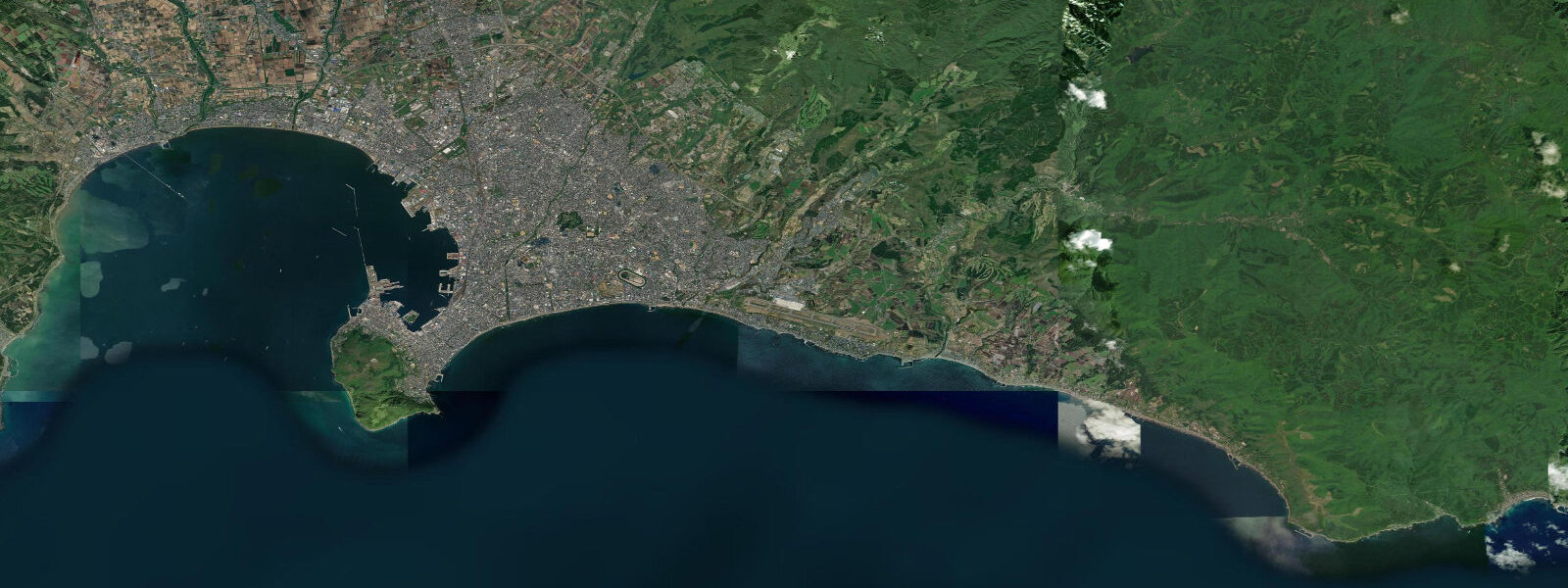
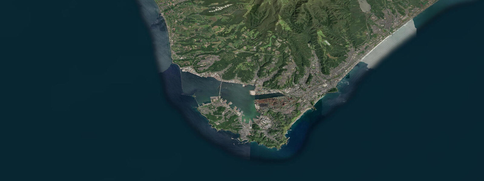
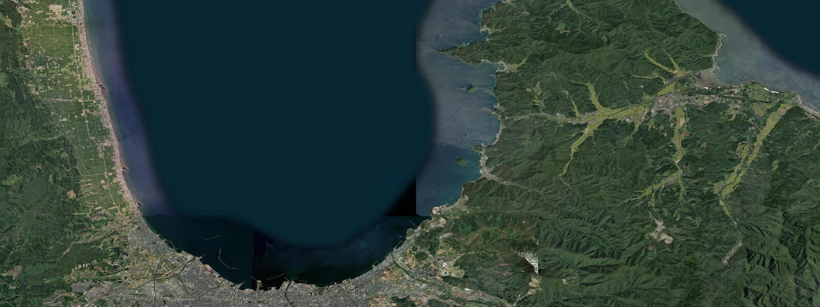
Hakodate sits at the southern tip of the Oshima Peninsula, the southwestern arm of Hokkaido, on a narrow isthmus barely 1 km wide at its base. Hakodate Bay opens to the west, sheltered by the peninsula and the Tsugaru Strait's northern shore. To the east, the city faces the Pacific approach to the strait more directly. The Tsugaru Strait itself, roughly 20 km wide at the Shirakami-Tappi narrows between Hokkaido and Honshu to the south, is the marine corridor connecting the Sea of Japan and the Pacific, and the tidal currents flowing through it are the defining physical feature of this coast.
The tide at Hakodate is semidiurnal: two roughly equal highs and two roughly equal lows per day, on the lunar twelve-hour-twenty-five-minute cycle. Mean range runs approximately 1.2 to 1.5 m — moderate, in the low mesotidal bracket. Spring tides around new and full moons push toward the upper end; neap tides produce a noticeably smaller swing. The semidiurnal character is cleaner here than at the mixed-regime Japanese Pacific coast to the south: the two daily highs are more nearly equal, reflecting the strait's position between two sea basins with broadly similar tidal phase.
The Tsugaru Strait tidal current matters operationally. The Seikan Tunnel, the world's longest undersea railway tunnel when it opened in 1988, runs beneath the seabed of the strait; the construction and maintenance of that tunnel required detailed understanding of the hydrological regime above. The squid-fishing fleet working the strait at night reads the tidal current carefully — the jigging grounds for surume ika (Japanese flying squid) around the strait's mid-channel are tide-dependent, and the boats' position relative to the current determines whether gear drifts over productive water or drags through emptiness.
Hakodate itself is compact and readable from the water. Mt. Hakodate, 334 m, rises from the isthmus just west of the city centre and the night view from its summit across both the bay and the Pacific approach is routinely cited among Japan's top three panoramic views. The Hakodate morning market, five minutes on foot from the station, opens before 5 am and sells squid, sea urchin, crab and salmon landed overnight. The squid are alive in tanks and the crabs come from the Bering Sea fishing grounds via Hokkaido's processing ports; the connection to tidal and ocean conditions is direct even if the market itself is inland of the waterfront.
The Motomachi historic district climbs the lower slopes of Mt. Hakodate above the old foreign settlement zone near the waterfront. The brick buildings now housing cafes and craft shops date to the period after 1859, when Hakodate became one of Japan's three initial treaty ports alongside Yokohama and Nagasaki, opened by the Convention of Kanagawa. The waterfront below Motomachi is the old Kanemori Red Brick Warehouse complex, now retail and event space, facing the inner harbour.
Goryokaku, the star-shaped Western-style fortress on the north side of the city, was the site of the last battle of the Boshin War in 1869, when forces loyal to the Tokugawa shogunate made a final stand before surrendering to the Meiji imperial army. The fortress moat is now a park famous for cherry blossom; in spring the moat water reflects the trees and the surviving tower at the gate. The connection to tidal coastal life here is indirect, but Hakodate has always been defined by what comes in from the sea.
The bay is used by pleasure craft and small charter fishing boats working out of the marina at Tomarihama, with sea kayaking possible on calm days in the sheltered western bay. The 1.2 to 1.5 m range produces visible tidal current at the narrows near Tobichi Point at the harbour entrance, and small-boat operators plan around ebb and flood for the transit in and out.
Predictions on this page come from Open-Meteo Marine, a gridded global ocean model. Accuracy is typically within plus or minus 45 minutes on timing and 0.2 to 0.3 m on height — model-derived, not a local gauge. The Japan Coast Guard and Japan Meteorological Agency maintain the authoritative Hakodate tide record. For navigation through the Tsugaru Strait, the official JMA predictions and JCGSN notices to mariners apply.
Tide questions about Hakodate
Quick answers to the most common questions about tide times, range, and water access at Hakodate.
What is the tidal range at Hakodate?
Mean astronomical range at Hakodate runs approximately 1.2 to 1.5 m, classed as low mesotidal. The tide is semidiurnal: two roughly equal highs and two roughly equal lows per day. Spring tides around new and full moons push toward the upper end of the range; neap tides produce a noticeably smaller swing. The semidiurnal character is cleaner than the mixed-regime found further south on Japan's Pacific coast, reflecting Hakodate's position between the Sea of Japan and Pacific tidal systems coming through the Tsugaru Strait. The Japan Meteorological Agency publishes official harmonic predictions for Hakodate.
Does the Tsugaru Strait have strong tidal currents?
Yes. The strait connects the Sea of Japan and the Pacific, with a tidal pressure gradient driving a through-flow on flood and ebb. At the Shirakami-Tappi narrows, where the strait is roughly 20 km wide and shallowing toward the undersea ridge, current speeds of 2 to 3 knots on spring tides are normal; in the tightest approach channels near the strait's narrowest section the current runs faster. The Seikan Tunnel construction crews and the commercial shipping lanes transiting the strait both required careful current survey data. The squid-fishing fleet working the strait uses tidal current knowledge to position gear over productive grounds.
What is the best time to visit Hakodate morning market?
The market opens around 5 am and most vendors are fully set up by 6 am. It runs until roughly noon, with the best variety and freshness earliest. The market's rhythm is driven by overnight fishing returns from the Tsugaru Strait and the processing ports, not by the tide table at the visitor end — arrive early regardless of tide state. Live squid tanks, sea urchin (especially Hokkaido's murasaki uni), snow crab in season, and salmon are the staple catch. The squid come from jigging boats that worked the strait through the night, and their catch volume does vary with tidal current conditions, though the market price is more determined by season and weather than any single night's tide.
Where do these tide predictions come from?
Open-Meteo Marine, a free gridded global ocean model. Accuracy is typically within plus or minus 45 minutes on timing and 0.2 to 0.3 m on height — model-derived, not a local gauge. For Hakodate, where the mean range is 1.2 to 1.5 m, that uncertainty is a significant fraction of the total signal at neap tides. The Japan Coast Guard and Japan Meteorological Agency maintain the authoritative Hakodate tide gauge record. For vessel navigation through the Tsugaru Strait, official JMA predictions and the current atlases published for the strait apply.
Can I go sea kayaking or fishing around Hakodate?
Sea kayaking is possible in Hakodate Bay on the sheltered western side of the isthmus, particularly in the Tomarihama area where the marina offers a launch point. Conditions on the bay are generally calmer than the Pacific-facing eastern coast. The 1.2 to 1.5 m tidal range produces a noticeable current at the harbour entrance and around Tobichi Point, so paddlers plan their transit in and out around ebb and flood. Shore fishing from the Hakodate breakwaters and the rocky points near the base of Mt. Hakodate produces black rockfish, Japanese seaperch, and flathead. Charter fishing boats for squid jigging and offshore rockfish operate from Tomarihama marina — squid jigging is most productive from summer through autumn.
8-day tide table — Hakodate
Heights relative to MSL. Predictions: Open-Meteo Marine (MeteoFrance SMOC, 0.08° grid) — heights relative to MSL (not chart datum / LAT). Model-derived.
| Day | Type | Time | Height |
|---|---|---|---|
| Fri 31 Jul | Low | 10:23 | -0.3m |
| High | 16:50 | 0.4m | |
| Low | 22:10 | 0.0m | |
| Sat 01 Aug | High | 04:03 | 0.6m |
| Low | 10:50 | -0.2m | |
| High | 17:12 | 0.5m | |
| Sun 02 Aug | Low | 11:16 | -0.3m |
| Mon 03 Aug | High | 05:12 | 0.4m |
| Low | 11:47 | -0.2m | |
| High | 17:52 | 0.4m | |
| Tue 04 Aug | Low | 00:10 | -0.2m |
| High | 06:00 | 0.3m | |
| Low | 12:10 | -0.2m | |
| High | 18:20 | 0.4m | |
| Wed 05 Aug | Low | 01:00 | -0.2m |
| High | 18:40 | 0.4m | |
| Thu 06 Aug | Low | 02:00 | -0.2m |
| High | 19:18 | 0.5m | |
| Fri 07 Aug | Low | 03:15 | -0.2m |
| High | 08:00 | 0.1m |