Gorontalo tide times
Gorontalo tide forecast — heights relative to MSL.
Today's tide times for Gorontalo
Tide times at Gorontalo on Saturday, 27 June 2026: first high tide at 08:00, first low tide at 19:47. Sunrise 05:46, sunset 17:55.
Tide chart for Gorontalo
24-hour cosine-interpolated curve around the present moment. Heights relative to MSL. Predictions: Predictions: Open-Meteo Marine (MeteoFrance SMOC, 0.08° grid).
Sun, moon and conditions on Sat 27 Jun
Snapshot at build time — refreshes daily. Sea state from Open-Meteo Marine.
Highs and lows next 7 days
Every predicted high and low for the next week, with the daily tidal coefficient (0–120; higher = bigger swing, > 95 means stronger currents).
Other spots nearby
The three closest curated TideTurtle locations to Gorontalo, measured by great-circle distance.
Today's solunar windows
Solunar tradition: major periods are the ≈3h windows around moon transit and opposition; minor are ≈2h around moonrise and moonset. Pair with the local tide stage and wind for the best read.
Cycle dates near Gorontalo
Next spring tide on Tue 30 Jun (range 1.1m). Next neap on Mon 29 Jun.
Spring tides cluster around new and full moons (biggest swings). Neap tides land on quarter moons (smallest swings). See the spring tide and neap tide glossary entries for the why.
About tides at Gorontalo
A short guide to the coastline at Gorontalo — geography, sea state, and what the tide is actually doing under your feet.
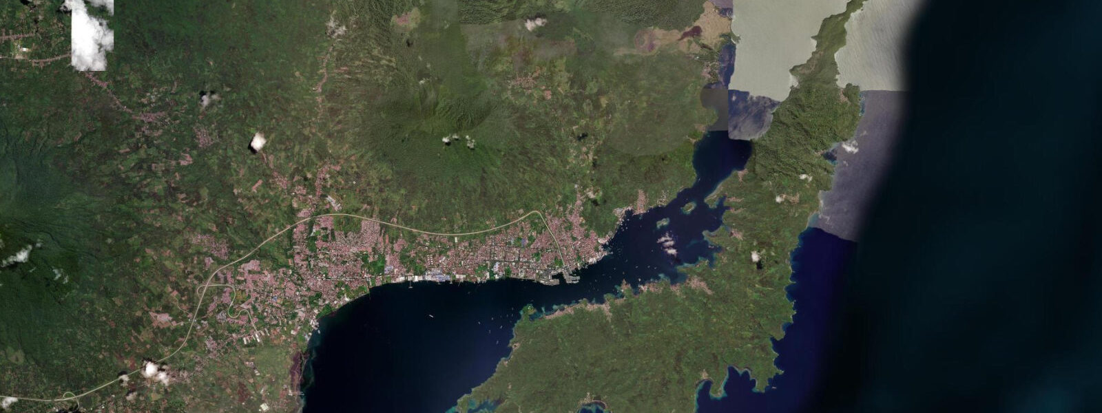
Gorontalo is the capital of Gorontalo Province, situated on the south coast of Tomini Bay at the base of Sulawesi's central highland. Tomini Bay is a large semi-enclosed gulf, roughly 250 km wide and 200 km deep, opening northward into the Celebes Sea through the Peleng Strait. This semi-enclosed geometry damps the tidal signal compared to the open Celebes Sea coast: Gorontalo's spring tidal range is approximately 1.2–1.5 m, lower than the 1.5–2.0 m range at Manado and Bitung on the northern coast.
The higher high water at Gorontalo reaches approximately 1.1 m above Chart Datum on springs; the lower low drops to 0.2 m below. The tidal pattern is mixed semidiurnal, with the diurnal inequality near the equator producing a fortnightly rhythm in the morning-vs-afternoon tide asymmetry. The Tomini Bay environment is distinctly different from the Celebes Sea coast: the bay is shallower, more turbid from river input (the Bone and Paguyaman rivers drain into the western and northern sections), and the water temperature in the inner bay runs 28–31 °C year-round with less oceanic influence.
For boaters navigating Tomini Bay, the shallow inner bay — depths of 2–15 m over wide areas of the western section — is where the tidal range has operational consequences. A 1.2 m spring range over a 5 m-depth anchorage means an anchor in 4.5 m at high water is in 3.3 m at low spring — manageable, but with less swing room for a 10 m vessel. The Gorontalo harbour approaches are dredged to 6.0 m; the outer bay approaches are not and carry shoals in the river-delta areas west of the city.
For the mangrove coast lining Tomini Bay's southern shoreline, the 1.2–1.5 m tidal range is the ecological pulse: mangrove pneumatophores extend 20–30 cm above the mud, exposed for 4–6 hours at low water and submerged at high. The mangrove creeks threading inland are navigable by small boat at high water — 0.5–1.2 m depth in the main channels — and exposed mud at low water, when the shallower sections narrow to a trickle.
For kayakers, the mangrove creek system west of Gorontalo offers a paddling environment unlike the open-ocean passes of Bunaken or the macro-tidal getbol of Mokpo. The high-water window — from 30 minutes before high to 90 minutes after — gives the maximum navigable depth in the creek system and covers the mangrove root zone that makes the ecosystem visually distinctive. At low water, the creek bed becomes exposed mud and paddling is reduced to dragging the kayak. Plan the mangrove creek paddle to begin 30 minutes before the predicted high and exit 90 minutes after high, before the falling tide strands the kayak in the shallower upper reaches.
For shore anglers, the Bone River mouth 40 km west of Gorontalo is the prime spot: milkfish (bandeng), barramundi, and giant trevally concentrate in the turbid freshwater-saltwater mixing zone. The 60-minute window either side of the upstream-flood peak is the most productive period. Shore fishing from the Gorontalo waterfront quay targets small trevally and catfish at any tidal state.
For families, the beach at Leato south of Gorontalo and the beaches near Botupingge to the north are the nearest accessible sandy shores. The tidal range of 1.2–1.5 m produces 15–20 m of beach-width variation between spring high and low water at these sites. At low spring water the shallow sand flat extends 40–60 m beyond the high-water mark, with water 0.4–0.6 m deep at 30 m from shore — ideal family wading conditions.
For underwater photographers, Gorontalo has a specific deep-water attraction: a submerged Japanese WWII transport ship (the Kota Pante wreck) in 25–40 m, accessible by dive boat from the city's small dive operators. Visibility on the wreck varies with tidal state and season — the flood tide from the bay interior brings more turbid water past the wreck; the ebb tide, pulling in cleaner water from the deeper outer bay, gives the better visibility window. The ebb phase in the dry season (April–October) consistently produces the best wreck visibility at 8–12 m.
All tide predictions for Gorontalo come from the Open-Meteo Marine gridded model. Timing accuracy is ±45 minutes; height accuracy is ±0.3 m above Chart Datum.
Tide questions about Gorontalo
Quick answers to the most common questions about tide times, range, and water access at Gorontalo.
What is the tidal range at Gorontalo and how does it compare to the rest of North Sulawesi?
Gorontalo's spring tidal range is 1.2–1.5 m — lower than the 1.5–2.0 m range at Manado and Bitung on the open Celebes Sea coast. The difference is due to the semi-enclosed geometry of Tomini Bay, which damps the tidal signal from the open ocean. The pattern is still mixed semidiurnal with modest diurnal inequality. For boaters in the shallow inner bay, the 1.2 m spring range means anchorages that look adequate at high water can be significantly shallower at low — particularly in the river-delta approaches west of the city, where shoaling limits navigable depth. Model accuracy is ±45 minutes timing and ±0.3 m height.
How do you paddle the mangrove creeks west of Gorontalo and what tidal window is required?
The mangrove creek system on the southwestern shore of Tomini Bay near Gorontalo is navigable by kayak from 30 minutes before high water to 90 minutes after. At high spring water the main creek channels carry 0.8–1.2 m depth and secondary branches 0.4–0.6 m — enough for a kayak drawing 0.15 m. After 90 minutes of ebb, shallower upper creek beds begin exposing and paddlers risk being stranded in mud. Launch at half-flood, navigate as far inland as depth allows during the high-water window, and exit on the early ebb. Hire a local guide for the first visit — the creek network is not charted in detail, and channels appearing connected at high water are separated by mud at mid-tide.
What diving is available at Gorontalo and how does the tide affect visibility?
Gorontalo's main dive attraction is the Kota Pante WWII wreck, a Japanese transport in 25–40 m accessible by boat from city dive operators. Wreck visibility ranges from 5–12 m depending on season and tidal state. The flood tide brings turbid inner-bay water past the wreck; the ebb, pulling from the deeper outer bay, consistently improves visibility. The best visibility window is the first 2 hours of ebb during the dry season (April–October), when outer-bay water is at its clearest. Average wreck visibility is 6–8 m; on an optimal ebb-dry-season dive it reaches 12 m. Soft coral and sponge growth on the superstructure is extensive; the fish population around the wreck includes large schools of glassfish, batfish, and resident grouper.
Where is the best shore fishing around Gorontalo?
The Bone River mouth 40 km west of Gorontalo is the best shore-fishing environment in the area. The salinity front concentrates milkfish, barramundi, and giant trevally; the 60-minute window either side of the upstream flood peak — when salt water pushes hardest into the river mouth — is the most productive period. Use live shrimp or small mullet on a Carolina rig near the salinity front. Gorontalo harbour quay is accessible for casual fishing at any tidal state: small trevally and catfish work the structure using cut squid on a bottom rig. The 1.2–1.5 m tidal range keeps the quay wall accessible throughout the tidal cycle without dangerous drops or exposures.
What are the best beaches near Gorontalo for families?
The beaches at Leato (south of the city, 15 minutes by taxi) and Botupingge (north, 20 minutes) are the nearest accessible sandy beaches. Both face into the sheltered inner Tomini Bay, which means wave energy is low year-round — appropriate for families with children. At spring low water the sand flat at both locations extends 40–60 m beyond the high-water mark, with 0.4–0.6 m of water at 30 m from shore — good wading depth. At spring high water the beach narrows by 15–20 m but swimming depth immediately off the sand is more comfortable for adults at 0.8–1.2 m. Sea temperatures are 28–31 °C year-round. There are no formal lifeguard services at either beach.
8-day tide table — Gorontalo
Heights relative to MSL. Predictions: Open-Meteo Marine (MeteoFrance SMOC, 0.08° grid) — heights relative to MSL (not chart datum / LAT). Model-derived.
| Day | Type | Time | Height |
|---|---|---|---|
| Sat 27 Jun | High | 08:00 | 0.5m |
| Low | 19:47 | 0.3m | |
| Sun 28 Jun | High | 03:22 | 1.2m |
| Low | 11:00 | 0.3m | |
| Mon 29 Jun | High | 04:00 | 1.2m |
| Low | 11:12 | 0.3m | |
| High | 16:00 | 0.6m | |
| Tue 30 Jun | Low | 21:43 | 0.2m |
| Wed 01 Jul | High | 05:00 | 1.3m |
| Low | 12:00 | 0.3m | |
| High | 17:00 | 0.6m | |
| Low | 22:15 | 0.2m | |
| Thu 02 Jul | High | 17:37 | 0.6m |
| Low | 22:50 | 0.2m | |
| Fri 03 Jul | High | 05:54 | 1.2m |
| Low | 12:55 | 0.3m | |
| High | 18:04 | 0.6m | |
| Low | 23:21 | 0.2m | |
| Sat 04 Jul | High | 06:19 | 1.2m |