Udupi, Karnataka tide times
Udupi, Karnataka tide forecast — heights relative to MSL.
Today's tide times for Udupi, Karnataka
Tide times at Udupi, Karnataka on Friday, 19 June 2026: first high tide at 05:30, first low tide at 07:03. Sunrise 06:04, sunset 18:59.
Tide chart for Udupi, Karnataka
24-hour cosine-interpolated curve around the present moment. Heights relative to MSL. Predictions: Predictions: Open-Meteo Marine (MeteoFrance SMOC, 0.08° grid).
Sun, moon and conditions on Fri 19 Jun
Snapshot at build time — refreshes daily. Sea state from Open-Meteo Marine.
Highs and lows next 7 days
Every predicted high and low for the next week, with the daily tidal coefficient (0–120; higher = bigger swing, > 95 means stronger currents).
Other spots nearby
The three closest curated TideTurtle locations to Udupi, Karnataka, measured by great-circle distance.
Today's solunar windows
Solunar tradition: major periods are the ≈3h windows around moon transit and opposition; minor are ≈2h around moonrise and moonset. Pair with the local tide stage and wind for the best read.
Cycle dates near Udupi, Karnataka
Next spring tide on Sat 20 Jun (range 1.5m). Next neap on Thu 25 Jun.
Spring tides cluster around new and full moons (biggest swings). Neap tides land on quarter moons (smallest swings). See the spring tide and neap tide glossary entries for the why.
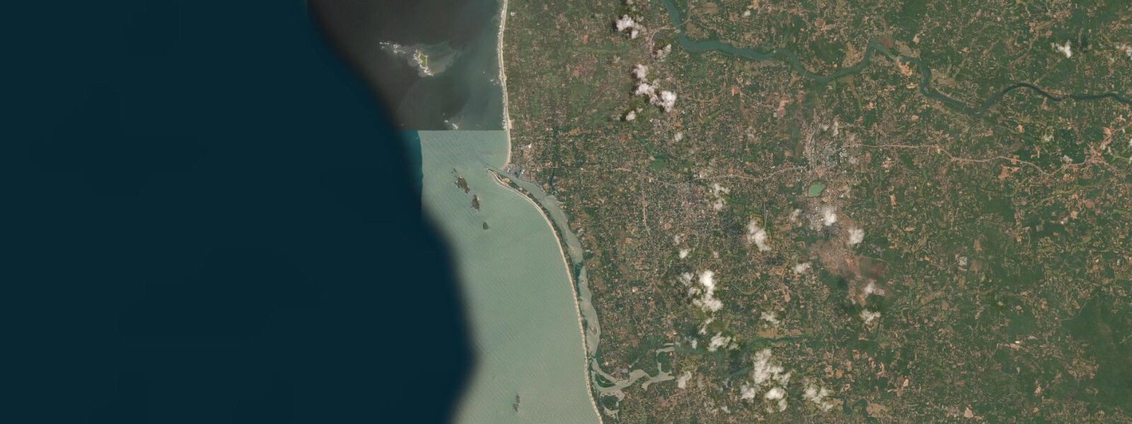
About tides at Udupi, Karnataka
A short guide to the coastline at Udupi, Karnataka — geography, sea state, and what the tide is actually doing under your feet.
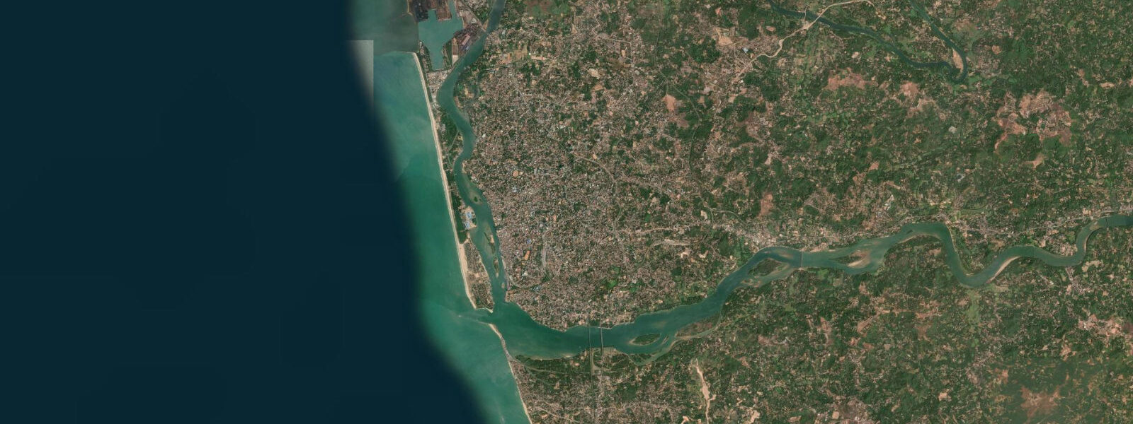
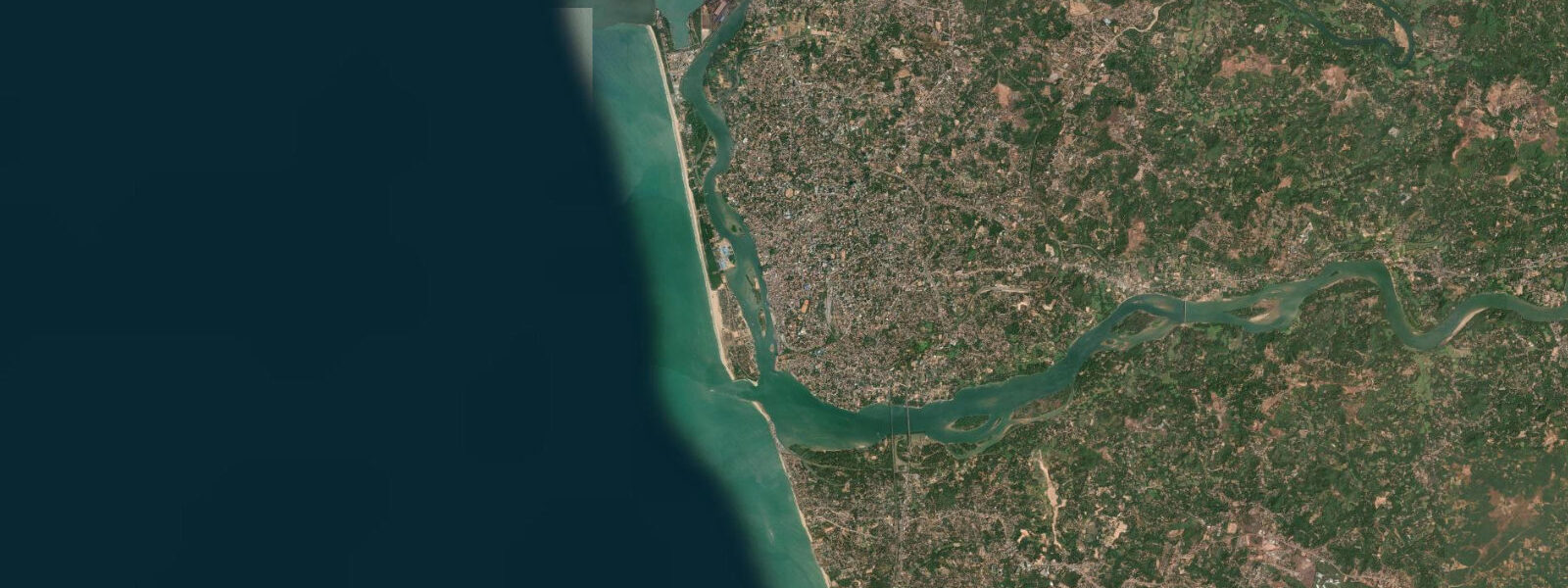
Udupi sits 5 km inland from the Arabian Sea but the tides run its coast with clockwork regularity. The Karnataka Konkan shore here is a semidiurnal system — two highs and two lows every 24 hours — with a mean range of 1.5 to 2.5 m that peaks toward 3.0 m on spring tides. Malpe Beach is where the tidal rhythm becomes visible and practical: the wide sand strip narrows and extends with each cycle, and the working harbour at Malpe runs its boat traffic in synch with the water.
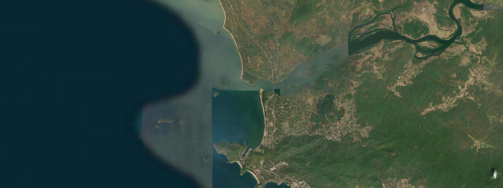
Malpe harbour is the operational centre for the fishing fleet that works this stretch of the Karnataka coast. Trawlers and smaller country craft land their catches in the early morning hours, typically after the night tide brings them back inshore. For visitors, Malpe harbour is also the departure point for the crossing to St. Mary's Islands — a group of small islands 8 km offshore, known locally as Coconut Islands, that hold one of the more unusual geological formations on the Indian coastline.
St. Mary's Islands are composed of columnar basalt — hexagonal rock columns formed when lava cooled rapidly against water, the same volcanic episode that created the Deccan Traps roughly 88 million years ago. The columns rise 3 to 4 m above sea level in tightly packed vertical ranks. The landing at St. Mary's Islands is on a low rock shelf at the base of the columns, and tidal height matters here directly. At low water the shelf is 10 to 15 m wide and the boat can approach close; at high water that margin shrinks to almost nothing. Boats from Malpe time their runs accordingly — a crossing around 07:30 on a receding tide typically gives the best shelf access for the morning visit. The return trip with a flooding tide requires a faster turnaround.
Vasco da Gama used St. Mary's Islands as an anchorage in 1498 when navigating north along the Malabar Coast before reaching Calicut. The sheltered lee of the basalt outcrop made it a practical stop; the islands were recognisable as a navigation waypoint. Today there is no anchorage infrastructure and the rock shelf is the only landing point, but the tidal logic that made it useful to a 15th-century Portuguese fleet is the same logic that shapes every boat landing here now.
For shore anglers, the rocky coastline north of Malpe harbour on the flood tide at dawn is the productive window. Rock perch, travelly, and ladyfish move into the shallower structure as the tide climbs. The Udyavara river estuary, a few kilometres north of Malpe, adds a second dimension: the brackish mixing zone at the river mouth holds different species through the ebb, and the estuary banks are accessible on foot during the lower half of the tide.
Paddlers and kayakers use Malpe Beach as the put-in for coastal runs. The beach faces roughly west-southwest and the Arabian Sea swell — typically 0.5 to 1.5 m outside the monsoon — is the dominant variable. Tidal state affects the beach gradient and the shorebreak but the offshore approach is open water without the funnel effects that complicate tidal crossings elsewhere. Inside the monsoon season (June through September) the coast becomes dangerous and all small-craft activity stops.
Families with children use Malpe at mid-tide on a neap cycle, when the tidal run is gentled and the shallow shelf extends well before the shore break. Low tide on springs exposes a wide sand and rock flat north of the main beach that holds rock pools — small crabs, molluscs, and sea urchins in the low-intertidal zone.
The Krishna Temple of Udupi, in the town centre, is the spiritual focus of the district and draws pilgrims daily. It has no tidal dimension, but the town's rhythm between temple and coast is part of how Udupi works: the fishing fleet and the temple both structure the day, and the tidal schedule threads through both.
Tide data for Udupi, Karnataka comes from the Open-Meteo Marine API, a gridded model product. Timing accuracy is ±45 minutes, height accuracy ±0.3 m — usable for trip planning, not for navigation.
Tide questions about Udupi, Karnataka
Quick answers to the most common questions about tide times, range, and water access at Udupi, Karnataka.
What is the tidal range at Malpe Beach near Udupi, and when is the best time to visit St. Mary's Islands?
The mean tidal range at Malpe is 1.5 to 2.5 m, rising closer to 3.0 m on spring tides. For St. Mary's Islands, the best boat landing is on a receding tide in the morning — arriving around 07:30 to 08:00 on a falling tide gives the widest rock shelf at the base of the basalt columns. Boats depart from Malpe harbour and the crossing takes roughly 45 minutes. Check the day's tide table before booking: a visit timed around high water gives very little shelf to land on and the visit is cut short.
Is shore fishing from the rocky coast near Malpe productive, and what does the tide do to the fishing?
The rocky headlands north of Malpe harbour are the most consistent shore-fishing spots on this stretch of the Karnataka coast. The flood tide at dawn is the prime window — fish like travelly and rock perch move into shallower structure as the water rises. First light plus a flooding tide between 05:30 and 08:00 is the standard combination local anglers target. The Udyavara river estuary a few kilometres north adds estuarine species through the ebb. Outside the monsoon season (October to May) the coast is fishable; during the southwest monsoon the sea state makes rock fishing unsafe.
Can kayakers or paddleboarders launch from Malpe Beach, and are there tidal current concerns in this area?
Malpe Beach is the practical launch point for kayakers on this coast. The beach faces west-southwest into the open Arabian Sea — offshore conditions are open water rather than a tidal channel, so current is not the main variable. Wind and swell are the primary factors. The tidal range (1.5 to 2.5 m) shifts the beach gradient and shorebreak angle but does not create significant tidal currents along the beach itself. Outside the monsoon season the conditions are manageable for intermediate paddlers; during the southwest monsoon (June to September) all small-craft use stops.
What is the geological significance of St. Mary's Islands, and how does the tide affect access to the columns?
St. Mary's Islands (Coconut Islands) are composed of columnar basalt — hexagonal rock columns formed roughly 88 million years ago when lava cooled against seawater as part of the same volcanic episode that produced the Deccan Traps. The columns stand 3 to 4 m above sea level. Access is via a low rock shelf at their base. At low water this shelf is 10 to 15 m wide and boats beach easily. At high water the shelf is mostly submerged and landing is difficult or impossible. All boats from Malpe harbour time their departures around the ebb to maximise time at the islands.
Where should families with children go at Malpe, and which tide state is safest for them?
The main Malpe Beach is the right choice for families. Mid-tide on a neap cycle is the safest and most comfortable window: the tidal run is slower, the gradient is gentle, and the shallow shelf extends far enough to give kids room to play without reaching the shore break quickly. On spring low tides, a wide sand and rock flat north of the main beach is exposed — it holds rock pools with small crabs, molluscs, and sea urchins, which makes it good for children. Avoid the first two hours after low water on spring tides, when the tide rises quickly and covers the flat faster than it looks.
8-day tide table — Udupi, Karnataka
Heights relative to MSL. Predictions: Open-Meteo Marine (MeteoFrance SMOC, 0.08° grid) — heights relative to MSL (not chart datum / LAT). Model-derived.
| Day | Type | Time | Height |
|---|---|---|---|
| Fri 19 Jun | High | 05:30 | -0.3m |
| Low | 07:03 | -0.5m | |
| Sat 20 Jun | High | 01:38 | 0.8m |
| Low | 07:48 | -0.3m | |
| High | 14:44 | 1.2m | |
| Low | 21:13 | -0.0m | |
| Sun 21 Jun | High | 03:05 | 0.7m |
| Low | 08:36 | -0.1m | |
| High | 15:27 | 1.1m | |
| Mon 22 Jun | Low | 09:21 | 0.1m |
| High | 16:10 | 1.1m | |
| Low | 22:55 | -0.1m | |
| Tue 23 Jun | High | 05:53 | 0.7m |
| Low | 10:22 | 0.3m | |
| High | 16:54 | 0.9m | |
| Low | 23:54 | -0.2m | |
| Wed 24 Jun | High | 07:07 | 0.7m |
| Low | 11:40 | 0.4m | |
| High | 17:33 | 0.8m | |
| Thu 25 Jun | Low | 00:52 | -0.3m |
| High | 08:22 | 0.8m | |
| Low | 13:15 | 0.5m | |
| High | 18:17 | 0.7m | |
| Fri 26 Jun | Low | 01:36 | -0.3m |
| High | 04:30 | 0.1m |