Karwar, Karnataka tide times
Karwar, Karnataka tide forecast — heights relative to MSL.
Today's tide times for Karwar, Karnataka
Tide times at Karwar, Karnataka on Friday, 19 June 2026: first high tide at 05:30, first low tide at 20:18. Sunrise 06:04, sunset 19:04.
Tide chart for Karwar, Karnataka
24-hour cosine-interpolated curve around the present moment. Heights relative to MSL. Predictions: Predictions: Open-Meteo Marine (MeteoFrance SMOC, 0.08° grid).
Sun, moon and conditions on Fri 19 Jun
Snapshot at build time — refreshes daily. Sea state from Open-Meteo Marine.
Highs and lows next 7 days
Every predicted high and low for the next week, with the daily tidal coefficient (0–120; higher = bigger swing, > 95 means stronger currents).
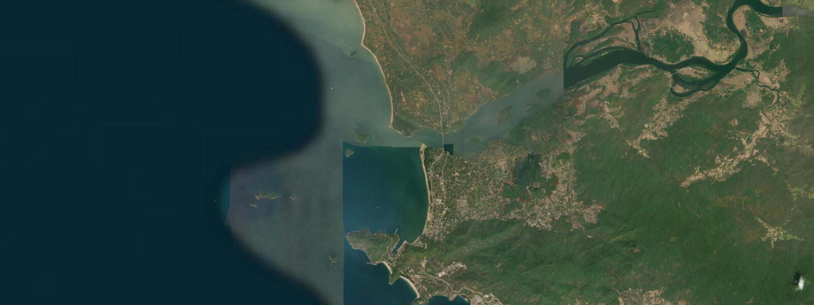
Other spots nearby
The three closest curated TideTurtle locations to Karwar, Karnataka, measured by great-circle distance.
Today's solunar windows
Solunar tradition: major periods are the ≈3h windows around moon transit and opposition; minor are ≈2h around moonrise and moonset. Pair with the local tide stage and wind for the best read.
Cycle dates near Karwar, Karnataka
Next spring tide on Sat 20 Jun (range 1.7m). Last neap on Fri 19 Jun. Next neap on Thu 25 Jun.
Spring tides cluster around new and full moons (biggest swings). Neap tides land on quarter moons (smallest swings). See the spring tide and neap tide glossary entries for the why.
About tides at Karwar, Karnataka
A short guide to the coastline at Karwar, Karnataka — geography, sea state, and what the tide is actually doing under your feet.
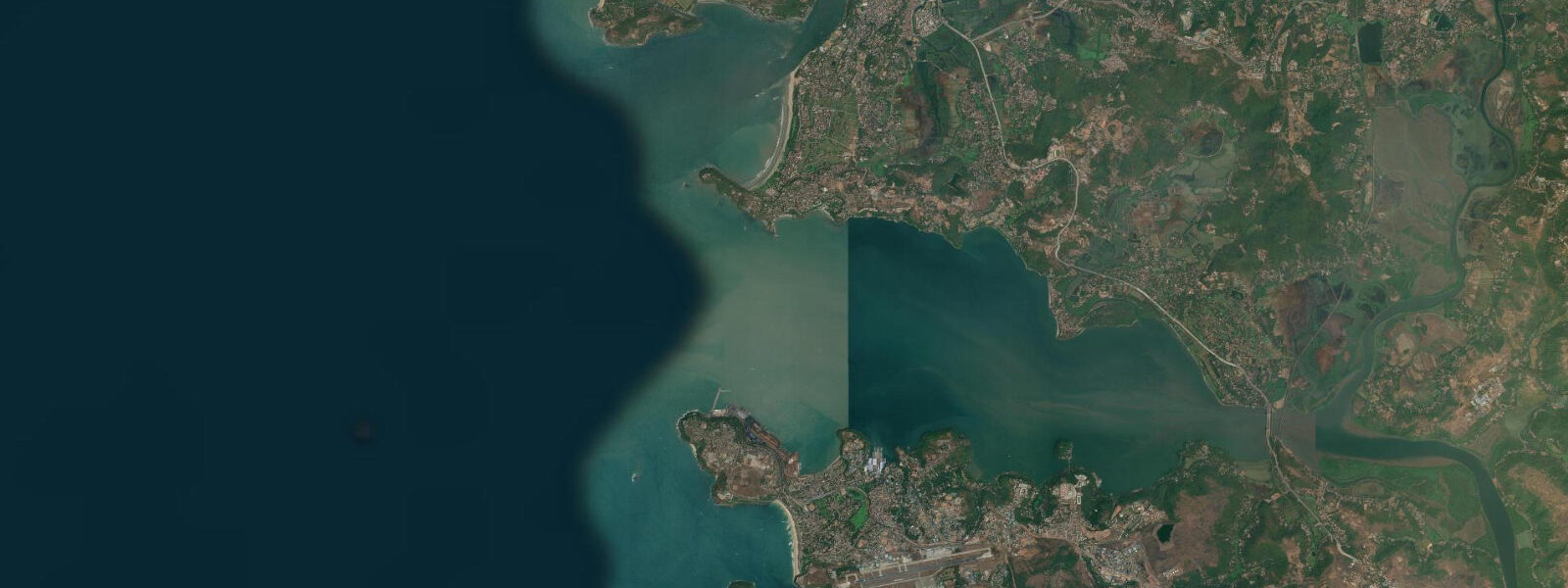
Karwar sits at the northernmost tip of Karnataka's coast, at the exact point where the Kali river meets the Arabian Sea. The river estuary funnels the tidal exchange in a way that amplifies the range: the mean tidal range here is 2.0 to 3.0 m — noticeably larger than the stretch of Karnataka coast to the south. On spring tides the range can push past 3.0 m, and the Kali estuary runs a clear tidal current that you can read from the waterfront.
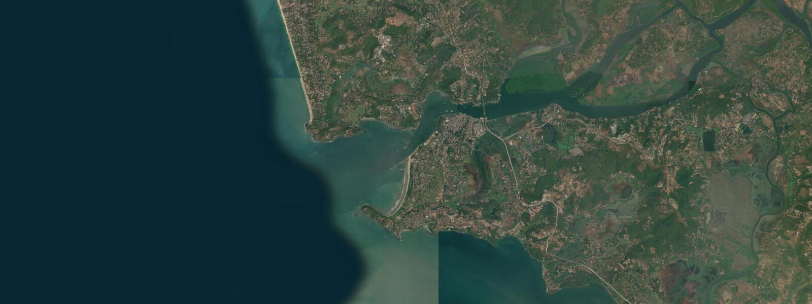
The town faces the harbour, and across a short stretch of open water sits Devbagh Beach on Devbagh Island — the main coastal destination for visitors to Karwar. The crossing from Karwar Jetty to Devbagh is navigable at all states of the tide, but the landing point on the Devbagh side shifts 50 to 100 m between high and low water as the sand beach changes shape. Boat operators at Karwar Jetty know this and adjust; first-time visitors should note that the landing zone in the afternoon may look nothing like where they came ashore in the morning.
Devbagh Beach and the surrounding waters fall within the Devbagh Marine National Park. Fishing is restricted within the park zone — visitors cannot cast from the beach or take boats out specifically for fishing here. The island is accessible for swimming, walking, and nature observation. The protected status of the water around Devbagh is part of why the beach remains in good condition: low footprint, no commercial fishing pressure in the immediate zone.
Back on the Karwar waterfront, INS Chapal is moored as a fixed exhibit — a decommissioned Indian Navy missile vessel that served through the 1970s and 1980s and now functions as a maritime heritage museum. The ship can be boarded for a tour, and the deck gives a direct view over the harbour entrance and the Kali river mouth. At low water the estuary sandbanks become partially visible from the deck; at high water the estuary runs smooth and brown. It is one of the few places in India where you can stand at deck level on a naval vessel and watch the tidal rhythm of a working river-sea junction.
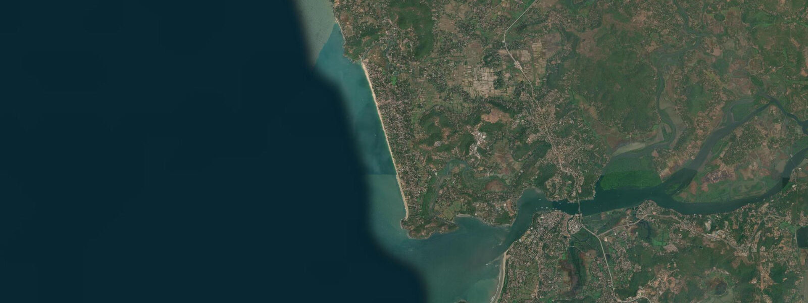
The Western Ghats are close enough here that the forested hills come within 2 km of the coast, north of Karwar. The terrain compresses — hills to the east, sea to the west — and the Kali river cuts through this compressed zone on its way to the sea. The Ghats backdrop is part of what makes Karwar distinctive along the Karnataka coast: this is not the open coastal plain of Goa or the flat Konkan further south. The forest cover runs close enough to the shore that the Karwar area holds significant bird diversity, particularly during the northeast monsoon passage (October to December).
For anglers, the Kali river estuary on the ebb tide is the main draw. The estuary is not within the Marine National Park zone immediately at the river mouth — the park boundary runs around Devbagh Island specifically — so fishing from the river banks and from boats in the estuary channel is permitted outside the park perimeter. The ebb tide concentrates fish in the main channel as water drains from the wider estuary; the two hours either side of low water are the productive period. Catfish, mullet, and estuarine snapper are the common catch species.
Kayakers and small-craft users find the estuary interesting for flat-water runs during neap tides when the current is gentler, but the spring ebb through the Kali river mouth runs fast enough to be challenging to paddle against. The combination of river flow and tidal ebb on springs creates a surface current that experienced paddlers navigate by timing their return leg before the ebb peaks.
Families use the Devbagh boat crossing as the main outing — the beach on the island is calm, the water is clear, and the protected bay is safe for swimming at high water. The sand is best at mid to high tide when the lower beach is covered and the water approaches the tree line.
Tide data for Karwar, Karnataka comes from the Open-Meteo Marine API, a gridded model product. Timing accuracy is ±45 minutes, height accuracy ±0.3 m — usable for trip planning, not for navigation.
Tide questions about Karwar, Karnataka
Quick answers to the most common questions about tide times, range, and water access at Karwar, Karnataka.
Why is the tidal range at Karwar larger than elsewhere on the Karnataka coast?
The Kali river estuary funnels the tidal exchange as the tide moves in and out of the Arabian Sea. The estuary geometry — a relatively narrow river mouth opening to a wider basin inland — concentrates the tidal energy and amplifies the range. The mean range at Karwar is 2.0 to 3.0 m, compared to 1.5 to 2.5 m further south at Malpe or Mangalore. On spring tides the range can exceed 3.0 m. This makes the tidal current at the river mouth noticeably stronger on springs, particularly on the ebb when river flow and tidal drainage run in the same direction.
How does the boat crossing from Karwar Jetty to Devbagh Beach work, and does the tide affect it?
Boats run from Karwar Jetty to Devbagh Island throughout the day. The crossing itself is short — under 10 minutes — and is safe at all tidal states. The tidal effect shows up at the landing end: the sand beach on Devbagh shifts 50 to 100 m between high and low water, so the drop-off point moves depending on when you cross. Boat operators adjust automatically, but visitors who walked to a landmark from the morning landing point may find it further from the afternoon pick-up point. Confirm the pick-up location with the boatman before heading off the beach.
Can you fish from the beach at Devbagh or from a boat around Devbagh Island?
Fishing is restricted within the Devbagh Marine National Park zone, which covers the waters immediately around Devbagh Island. Casting from Devbagh Beach and fishing boat trips into the park zone are not permitted. The Kali river estuary upstream of the park boundary is open to fishing — the productive window there is the ebb tide, especially the two hours either side of low water when fish concentrate in the main estuary channel. Catfish, mullet, and estuarine snapper are the typical catch. Check the park boundary with local operators before launching any fishing trip in this area.
What is INS Chapal and what can you see from it at the Karwar waterfront?
INS Chapal is a decommissioned Indian Navy Vidyut-class missile boat, now permanently moored at the Karwar waterfront as a heritage museum. It served from the late 1970s through the 1980s. The ship is open for boarding and the deck provides a direct view over the harbour entrance and the Kali river mouth. The tidal state changes what you see: at low water the estuary sandbanks are partially exposed and the river current is visible running strong through the main channel; at high water the estuary surface is smooth and the extent of the tidal basin is readable from the elevated deck. Admission is charged.
Is kayaking on the Kali estuary suitable for recreational paddlers, and when is the best time to go?
The Kali estuary is manageable for recreational kayakers on neap tides when the tidal current is reduced. Neap flood tide — paddling upstream as the tide comes in — is the easiest direction: the current is gentle (0.3 to 0.5 knots) and you drift back on the ebb. On spring tides the ebb combines with river flow and can push 1.5 to 2.0 knots through the narrow river mouth, which is challenging to paddle against. Early morning on a neap flood, launching from the Karwar waterfront around 07:00, is the standard window local paddlers use. The channel north of the jetty has good birdlife — kingfishers, herons, and river terns are common on the estuary banks.
8-day tide table — Karwar, Karnataka
Heights relative to MSL. Predictions: Open-Meteo Marine (MeteoFrance SMOC, 0.08° grid) — heights relative to MSL (not chart datum / LAT). Model-derived.
| Day | Type | Time | Height |
|---|---|---|---|
| Fri 19 Jun | High | 05:30 | -0.4m |
| Low | 20:18 | 0.0m | |
| Sat 20 Jun | High | 01:36 | 0.9m |
| Low | 07:52 | -0.4m | |
| High | 14:42 | 1.3m | |
| Low | 21:13 | -0.1m | |
| Sun 21 Jun | High | 02:54 | 0.7m |
| Low | 08:36 | -0.2m | |
| High | 15:32 | 1.2m | |
| Low | 22:05 | -0.1m | |
| Mon 22 Jun | High | 04:30 | 0.7m |
| Low | 09:24 | 0.1m | |
| High | 16:15 | 1.1m | |
| Low | 23:05 | -0.2m | |
| Tue 23 Jun | High | 05:54 | 0.8m |
| Low | 10:17 | 0.3m | |
| High | 17:04 | 1.0m | |
| Wed 24 Jun | Low | 00:05 | -0.3m |
| High | 07:10 | 0.8m | |
| Low | 11:40 | 0.4m | |
| High | 17:37 | 0.9m | |
| Thu 25 Jun | Low | 00:54 | -0.3m |
| High | 08:13 | 0.8m | |
| Low | 13:20 | 0.5m | |
| High | 18:17 | 0.8m | |
| Fri 26 Jun | Low | 01:38 | -0.4m |
| High | 04:30 | 0.0m |