Mangaluru tide times
Mangaluru tide forecast — heights relative to MSL.
Today's tide times for Mangaluru
Tide times at Mangaluru on Friday, 31 July 2026: first low tide at 05:30, first high tide at 12:04, second low tide at 18:12, second high tide at 23:32. Sunrise 06:15, sunset 18:57.
Tide chart for Mangaluru
24-hour cosine-interpolated curve around the present moment. Heights relative to MSL. Predictions: Predictions: Open-Meteo Marine (MeteoFrance SMOC, 0.08° grid).
Sun, moon and conditions on Fri 31 Jul
Snapshot at build time — refreshes daily. Sea state from Open-Meteo Marine.
Highs and lows next 7 days
Every predicted high and low for the next week, with the daily tidal coefficient (0–120; higher = bigger swing, > 95 means stronger currents).
Other spots nearby
The three closest curated TideTurtle locations to Mangaluru, measured by great-circle distance.
Today's solunar windows
Solunar tradition: major periods are the ≈3h windows around moon transit and opposition; minor are ≈2h around moonrise and moonset. Pair with the local tide stage and wind for the best read.
Cycle dates near Mangaluru
Last spring tide on Fri 31 Jul (range 1.3m). Next neap on Thu 06 Aug.
Spring tides cluster around new and full moons (biggest swings). Neap tides land on quarter moons (smallest swings). See the spring tide and neap tide glossary entries for the why.
About tides at Mangaluru
A short guide to the coastline at Mangaluru — geography, sea state, and what the tide is actually doing under your feet.
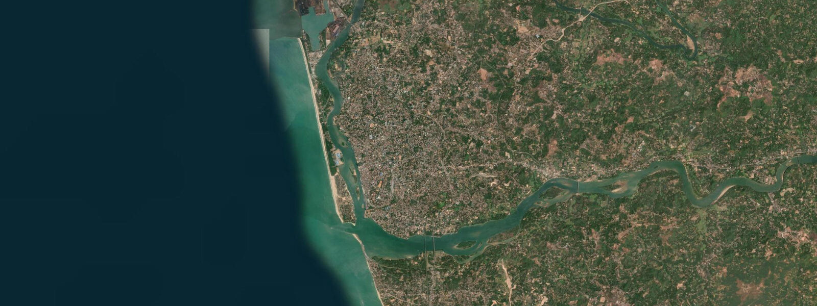
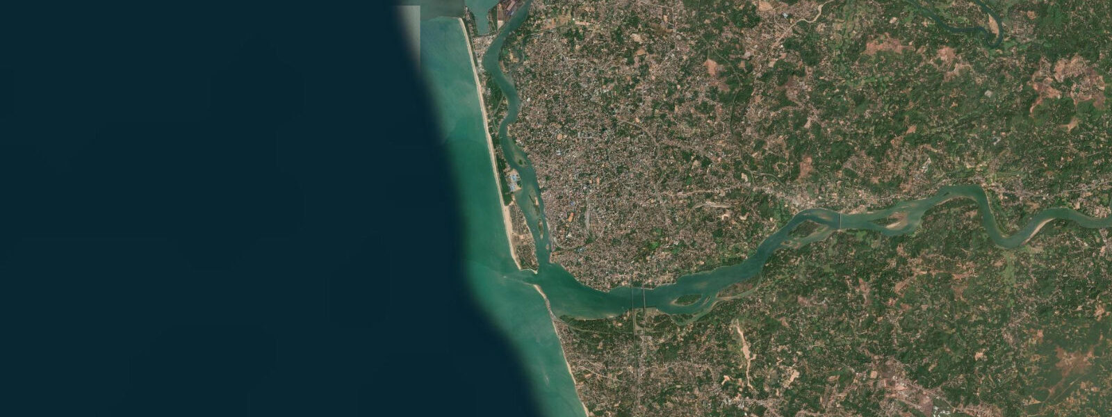
Mangaluru sits at the southwestern edge of Karnataka, where the Netravati and Gurpur rivers converge and spill into the Arabian Sea across a shared bar. The city is officially classified as a Tier-2 urban centre, but the coastal infrastructure is significant: New Mangalore Port, on the north side of the harbour, is one of the largest ports on India's west coast by cargo tonnage, handling petroleum products, LPG, fertilisers, and container traffic. The fishing harbour at Bunder handles one of the larger inshore catch landings in Karnataka. The bar at the river mouth — where tidal and river flow interact with Arabian Sea swell — is the navigational challenge that every vessel entering or leaving the harbour must assess.
The tidal regime is mixed semidiurnal: two highs and two lows each day, with the two daily highs unequal in height and the two lows also unequal. Mean spring range runs approximately 1.5 to 1.8 metres — similar to Goa's coast 200 kilometres north, which shares the same tidal forcing from the central Arabian Sea. Neap range compresses toward 0.8 to 1.0 metres at quarter moons. The inequality between successive highs is the identifying feature: on any given day you can expect one dominant high and one secondary high, with the relative heights shifting through the month as the moon's declination varies.
The bar at the Netravati-Gurpur mouth is the practical centre of Mangaluru's relationship with the tide. Bar pilots working the approach to New Mangalore Port time inbound and outbound movements to maximise under-keel clearance on the higher part of the tidal cycle. The artisanal fishing community — the Mogaveera people, whose caste identity and livelihood have been tied to this coast for documented centuries — operate the traditional plank-built boats called padavus from the Bunder harbour. The padavu crews crossing the bar in the early morning, returning before mid-morning, read bar conditions by a combination of swell height, tide state, and river discharge level that has been codified in practice rather than written in tables. On a strong spring ebb with moderate southwest swell, the bar breaks; on a neap flood, the same approach is docile. The space between those conditions is where judgment lives.
The Netravati estuary extends inland to Bantwal, roughly 30 kilometres from the bar. The lower 10 to 15 kilometres carry a measurable tidal oscillation: the water rises and falls twice daily, the salinity at the estuary banks shifts from near-fresh on the ebb to brackish on the flood, and the mangrove fringe along the lower estuary banks follows those salinity gradients. Mangrove restoration work has been ongoing in the Nethravathi estuary for several years, partly because the mangrove fringe damps wave energy reaching the estuary banks and reduces erosion on the laterite banks in the lower reach.
The laterite cliffs are the visual signature of the Karnataka coast. The iron-oxide-rich laterite rock weathers in characteristic stepped and pitted formations — honeycomb erosion patterns above the waterline, smoother wave-cut platforms at the base, intertidal rock pools in the lower formations. Shore anglers work these platforms at low tide along the coast north of Mangaluru toward Kundapur and south toward Ullal and the Kerala border. The exposed platforms at low spring tides hold mantis shrimp, rock crabs, and smaller reef fish in the pools; the crevice structure in the laterite at the base of the cliff traps baitfish on the flood. The anglers who know this coast fish the bottom of the ebb and the early flood — the sequence when the pools are shallow enough to see into but the rock base is covered enough to hold fish near structure.
Kayaking options near Mangaluru include the lower Netravati estuary channels and the Gurpur River course through the Pilikula area. The Gurpur is shallower and more sinuous than the Netravati, and the tidal reach is shorter, but the upper-estuary mangrove sections between the river mouth and Derebail are paddleable on a flood tide. The Someshwara Beach stretch south of the Netravati mouth, and the Panambur Beach immediately north of the port, are two of the calmer open-coast swimming areas in the Mangaluru zone — but monsoon conditions from June through September make open-coast swimming dangerous on both.
Photographers visiting the Karnataka coast should know that the laterite cliff sequences between Kundapur and Udupi, 50 to 80 kilometres north of Mangaluru, are among the most dramatically coloured on the Indian west coast. The red-orange laterite above a blue-grey Arabian Sea, shot in the hour after sunrise or before sunset, is the characteristic image of this coast. The intertidal rock platforms at low spring tide are also productive for macro photography — the rock pools hold nudibranchs, small crustaceans, and intertidal invertebrates that are only accessible at the lower tidal stages.
Predictions on this page come from Open-Meteo Marine — typically within plus or minus 45 minutes on timing and 0.2 to 0.3 m on height, model-derived, not a local gauge. The National Hydrographic Office of India publishes official tide tables for Karnataka's coast. New Mangalore Port holds its own operational tide predictions calibrated for bar and harbour use. For any commercial navigation or bar crossing, those official sources are the appropriate reference.
Tide questions about Mangaluru
Quick answers to the most common questions about tide times, range, and water access at Mangaluru.
When is the next high tide at Mangaluru?
The next predicted high tide at Mangaluru, in India Standard Time (IST, UTC+5:30), is shown in the tide table at the top of this page. The tide here is mixed semidiurnal — two highs and two lows per day, with the two highs often unequal in height. Mean spring range is approximately 1.5 to 1.8 metres. Predictions come from Open-Meteo Marine, typically accurate to within plus or minus 45 minutes on timing and 0.2 to 0.3 m on height — model-derived, not a local gauge. The National Hydrographic Office of India and New Mangalore Port Authority hold the official tide records for this coast.
What is the tidal range at Mangaluru and how does it compare to Goa?
Mean spring range at Mangaluru is approximately 1.5 to 1.8 metres, slightly smaller than Goa's 1.5 to 2.0 m and broadly similar in character — both coasts are mixed semidiurnal, driven by the same central Arabian Sea tidal forcing. Neap range at Mangaluru compresses to around 0.8 to 1.0 metres. The inequality between successive highs is a defining feature: one daily high is typically larger than the other, and the degree of that difference shifts through the lunar month. For activities that depend on a specific tidal threshold — bar crossing, estuary kayaking, rock-pool fishing — the height difference between the two daily highs matters and is worth checking on the tide table rather than assuming symmetry.
Where does the tide data for Mangaluru come from?
Tide predictions on this page come from Open-Meteo Marine, a free global ocean model that estimates tidal heights from hydrodynamic equations across a geographic grid — not from harmonic analysis of a dedicated Mangaluru gauge record. Accuracy is typically within plus or minus 45 minutes on timing and 0.2 to 0.3 m on height — model-derived, not a local gauge. New Mangalore Port Authority holds operational tide data calibrated for the harbour and bar. The National Hydrographic Office of India publishes official tide tables for Karnataka's coast. For bar crossing, pilotage, and any safety-critical use, those official sources apply.
What is the best tide for shore fishing on the Karnataka laterite coast?
Shore anglers working the laterite rock platforms north of Mangaluru toward Kundapur, and south toward Ullal, consistently prefer the bottom of the ebb and the early flood — the sequence when the intertidal platforms are fully exposed or just beginning to cover. At low tide, the rock pools are shallow and accessible, holding mantis shrimp, rock crabs, and small reef fish. As the flood begins and covers the lower platforms, fish move up from the deeper subtidal zone onto the newly flooded rock. The laterite crevice structure at the cliff base traps baitfish on the incoming water. By mid-flood the lower platform is too deep for effective rock fishing, but the surf-zone conditions improve for heavier tackle targeting trevally and queenfish in the white water.
Is the Netravati River bar safe to cross, and how does the tide affect it?
The bar at the Netravati-Gurpur river mouth is a real navigational hazard, particularly on the ebb and in moderate-to-strong southwest swell. On a strong spring ebb — when maximum river flow and tidal ebb combine — the bar can break heavily and become impassable for small craft. Bar conditions are most favourable on the flood tide, when tidal push counteracts the river outflow, and around the high-water slack, when both river and tidal currents are minimal. New Mangalore Port bar pilots operate continuous assessment of bar conditions for commercial vessel movements. Artisanal fishermen crossing in padavus base their decisions on combined tide state, swell height, and river level. The predictions on this page — model-derived, within plus or minus 45 minutes and 0.2 to 0.3 m — are indicative only. For actual bar crossing, local knowledge and official port conditions take precedence.
8-day tide table — Mangaluru
Heights relative to MSL. Predictions: Open-Meteo Marine (MeteoFrance SMOC, 0.08° grid) — heights relative to MSL (not chart datum / LAT). Model-derived.
| Day | Type | Time | Height |
|---|---|---|---|
| Fri 31 Jul | Low | 05:30 | -0.4m |
| High | 12:04 | 1.0m | |
| Low | 18:12 | 0.1m | |
| High | 23:32 | 0.6m | |
| Sat 01 Aug | Low | 05:40 | -0.3m |
| High | 12:25 | 1.0m | |
| Low | 18:45 | -0.0m | |
| Sun 02 Aug | High | 00:17 | 0.6m |
| Low | 06:17 | -0.2m | |
| High | 12:45 | 1.0m | |
| Low | 19:20 | -0.1m | |
| Mon 03 Aug | High | 13:12 | 0.9m |
| Tue 04 Aug | Low | 07:38 | -0.0m |
| High | 13:38 | 0.9m | |
| Low | 20:30 | -0.3m | |
| Wed 05 Aug | High | 02:53 | 0.6m |
| Low | 08:18 | 0.1m | |
| High | 14:06 | 0.8m | |
| Low | 21:13 | -0.4m | |
| Thu 06 Aug | High | 04:07 | 0.6m |
| Low | 09:06 | 0.2m | |
| High | 14:40 | 0.7m | |
| Low | 22:05 | -0.5m | |
| Fri 07 Aug | High | 04:30 | 0.6m |