Mui Wo (Silvermine Bay) tide times
Mui Wo (Silvermine Bay) tide forecast — heights relative to MSL.
Today's tide times for Mui Wo (Silvermine Bay)
Tide times at Mui Wo (Silvermine Bay) on Saturday, 4 July 2026: first low tide at 08:00, first high tide at 11:51, second low tide at 19:38. Sunrise 05:44, sunset 19:12.
Tide chart for Mui Wo (Silvermine Bay)
24-hour cosine-interpolated curve around the present moment. Heights relative to MSL. Predictions: Predictions: Open-Meteo Marine (MeteoFrance SMOC, 0.08° grid).
Sun, moon and conditions on Sat 04 Jul
Snapshot at build time — refreshes daily. Sea state from Open-Meteo Marine.
Highs and lows next 7 days
Every predicted high and low for the next week, with the daily tidal coefficient (0–120; higher = bigger swing, > 95 means stronger currents).
Other spots nearby
The three closest curated TideTurtle locations to Mui Wo (Silvermine Bay), measured by great-circle distance.

Today's solunar windows
Solunar tradition: major periods are the ≈3h windows around moon transit and opposition; minor are ≈2h around moonrise and moonset. Pair with the local tide stage and wind for the best read.
Cycle dates near Mui Wo (Silvermine Bay)
Last spring tide on Sat 04 Jul (range 2.0m). Next neap on Tue 07 Jul.
Spring tides cluster around new and full moons (biggest swings). Neap tides land on quarter moons (smallest swings). See the spring tide and neap tide glossary entries for the why.
About tides at Mui Wo (Silvermine Bay)
A short guide to the coastline at Mui Wo (Silvermine Bay) — geography, sea state, and what the tide is actually doing under your feet.
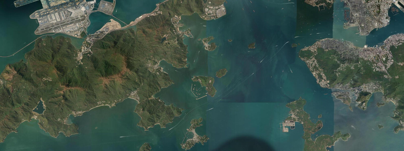
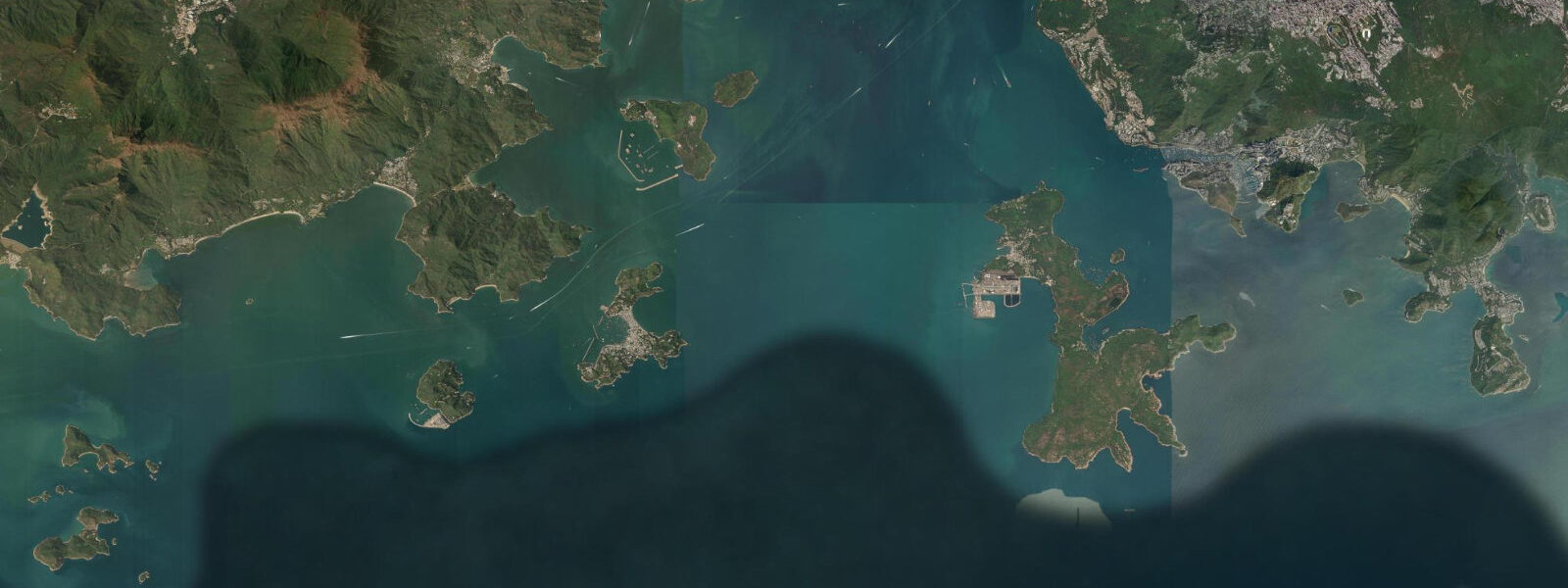
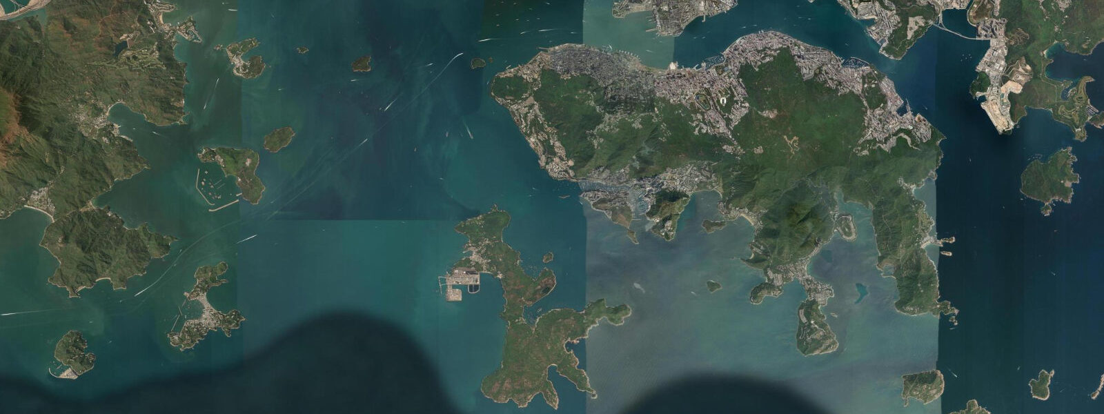
Mui Wo — Silvermine Bay in English — is the main town on the eastern coast of Lantau Island, Hong Kong's largest island and the site of the international airport. The town sits at the head of a sheltered bay on Lantau's eastern face, backed by the mountains that form Lantau's central spine. The ferry from Central Pier 6 takes 55 minutes on the ordinary service or 35 minutes on the fast ferry, making Mui Wo one of the more accessible ferry destinations from Hong Kong Island. From Mui Wo, the rest of Lantau fans out: the Lantau Trail runs in a circuit around the island, the cable car to Ngong Ping and the Big Buddha departs from Tung Chung (bus or cycle north), and the outlying beaches at Pui O and Cheung Sha are accessible by bus to the south.
The tidal regime at Mui Wo is mixed semidiurnal, with a spring range of approximately 1.5 metres. The bay is sheltered from the dominant northeast swell by the Lantau headland and by the mass of the island itself, so wave action in the bay is minimal at all tide states — wind chop from the east is the only sea condition that builds in the bay. At low water springs, the Mui Wo tidal flat at the bay head — a sandy mudflat fed by the stream draining from the Silvermine Bay valley — is exposed for 150 to 200 metres from the beach. This flat is a wader feeding ground, particularly in autumn and winter migration periods.
The Mui Wo tidal flat supports a regular assemblage of migratory waders: common sandpiper, grey plover, greater sand plover, whimbrel, and, in peak migration years, the occasional bar-tailed godwit. Pacific golden plover are present through the winter months. The flat is also used by grey heron and little egret throughout the year. The stream mouth, where freshwater meets the tidal flat, concentrates feeding activity, particularly on the ebb tide when invertebrates are exposed in the drainage channel.
Cycling is the most popular activity on Lantau for visitors using Mui Wo as a base. Bicycles are available for rental from several shops adjacent to the ferry pier — the rental fleet is basic but functional. The cycle route runs south from Mui Wo along the coastal road to Pui O and Cheung Sha, passing through lowland farmland and coastline that gives a clear view of the tide state in the bay. Cheung Sha beach — the longest on Lantau at 2 kilometres — is 7 kilometres south of Mui Wo by cycle, with a usable beach through most of the tidal range.
The Lantau Trail, Stage 1, departs from the Mui Wo ferry pier end and climbs toward Sunset Peak (869 metres). This is a full-day route that joins Stage 2 for a circuit around the southern side of the mountain — allow 6 to 8 hours for Stages 1 and 2 combined. Stage 2 passes through the Lantau South Country Park and descends to Pui O before returning to Mui Wo by bus. The Silvermine waterfall is accessible on a shorter 45-minute walk from the ferry pier via the Silvermine Bay campsite trail.
The village market near the ferry pier serves local residents and weekend visitors with fresh produce, cooked food stalls, and the small shops that supply the village's daily needs. The combination of market, beach, cycle path, and trail access makes Mui Wo a practical base for a full Lantau day without the crowds of the Ngong Ping cable car route.
Predictions on this page come from Open-Meteo Marine, a gridded global ocean model. Accuracy is typically within plus or minus 45 minutes on timing and 0.2 to 0.3 metres on height — model-derived, not from a local gauge. The local tide authority is the Hong Kong Observatory, which publishes annual tide tables for Hong Kong waters.
Tide questions about Mui Wo (Silvermine Bay)
Quick answers to the most common questions about tide times, range, and water access at Mui Wo (Silvermine Bay).
How do I get to Mui Wo from Hong Kong Island?
Ferry from Central Pier 6, operated by New World First Ferry. The ordinary ferry takes 55 minutes; the fast ferry takes approximately 35 minutes. Services run throughout the day from early morning. From Mui Wo, buses run south to Pui O and Cheung Sha beach, and north to Tung Chung (for the Ngong Ping cable car and MTR connection). Bicycle rental is available at the ferry pier. Taxi service operates on Lantau but is more limited than on Hong Kong Island — taxis cannot cross between Mui Wo and the airport side of the island without using the toll road.
What wading birds can I see at the Mui Wo tidal flat?
The tidal flat at the head of Silvermine Bay supports common sandpiper, grey plover, greater sand plover, and whimbrel during the northeast monsoon migration (October to March). Pacific golden plover are present through winter. Bar-tailed godwit has been recorded in peak migration years. Grey heron and little egret feed at the flat year-round. The stream mouth is the most productive area, particularly on the ebb tide when invertebrates concentrate in the drainage channel. Peak wader diversity is in October and November during the southbound autumn migration; spring migration (March to May) is less dense.
What is the cycling route from Mui Wo?
The main cycle route runs south from Mui Wo along the coastal road to Pui O (4 km) and Cheung Sha (7 km), passing through lowland farmland with sea views across the bay. The road is paved and mostly flat with gentle inclines. Bicycles are available from rental shops adjacent to the ferry pier. Cheung Sha beach (2 km long) has refreshment kiosks and is the standard cycle-route destination. Return to Mui Wo on the same road or take the bus from Cheung Sha. A more demanding extension continues south to Pui O and loops inland through the Shui Hau area. Allow 3 to 4 hours for a relaxed Cheung Sha-and-back cycle.
Is the Lantau Trail accessible from Mui Wo?
Lantau Trail Stage 1 starts near the Mui Wo ferry pier and ascends toward Sunset Peak (869 metres). It is a full-day mountain hike — allow 6 to 8 hours for Stages 1 and 2 combined (20+ kilometres). The terrain is rough mountain trail with significant ascent and descent; appropriate footwear and water are essential. A shorter option: the Silvermine Falls trail from the ferry pier takes 45 minutes return. The Pui O trail (Stage 2 section) is a coastal and valley walk accessible by bus from Mui Wo to Pui O, then hiking north through the Lantau South Country Park back toward Mui Wo.
What is the tidal range at Mui Wo?
Spring tidal range at Mui Wo is approximately 1.5 metres. The bay is sheltered from northeast swell by the Lantau headland and the island mass, so wave action is minimal at all tide states. At low water springs, the tidal flat at the bay head exposes 150 to 200 metres of sandy mudflat — the most interesting time for wader watching and tidal flat exploration. Predictions here come from Open-Meteo Marine (±45 minutes on timing, ±0.3 m on height). Not for navigation; consult the Hong Kong Observatory annual tide tables for precise predictions.
8-day tide table — Mui Wo (Silvermine Bay)
Heights relative to MSL. Predictions: Open-Meteo Marine (MeteoFrance SMOC, 0.08° grid) — heights relative to MSL (not chart datum / LAT). Model-derived.
| Day | Type | Time | Height |
|---|---|---|---|
| Sat 04 Jul | Low | 08:00 | 0.9m |
| High | 11:51 | 1.8m | |
| Low | 19:38 | -0.3m | |
| Sun 05 Jul | High | 02:20 | 0.8m |
| Low | 06:15 | 0.5m | |
| High | 12:33 | 1.6m | |
| Low | 20:10 | -0.2m | |
| Mon 06 Jul | High | 13:04 | 1.4m |
| Low | 20:42 | -0.1m | |
| Tue 07 Jul | High | 03:10 | 1.1m |
| Low | 08:48 | 0.4m | |
| High | 13:57 | 1.1m | |
| Low | 21:06 | -0.1m | |
| Wed 08 Jul | High | 03:36 | 1.2m |
| Low | 10:06 | 0.3m | |
| High | 14:56 | 0.9m | |
| Low | 21:24 | 0.1m | |
| Thu 09 Jul | High | 04:24 | 1.5m |
| Low | 11:20 | 0.2m | |
| High | 16:21 | 0.8m | |
| Low | 22:03 | 0.3m | |
| Fri 10 Jul | High | 05:11 | 1.7m |
| Low | 22:50 | 0.4m | |
| Sat 11 Jul | High | 05:58 | 1.9m |