Le Touquet-Paris-Plage tide times
Le Touquet-Paris-Plage tide forecast — heights relative to MSL.
Today's tide times for Le Touquet-Paris-Plage
Tide times at Le Touquet-Paris-Plage on Sunday, 21 June 2026: first low tide at 02:00, first high tide at 04:58, second low tide at 11:53, second high tide at 17:32. Sunrise 05:41, sunset 22:09.
Tide chart for Le Touquet-Paris-Plage
24-hour cosine-interpolated curve around the present moment. Heights relative to MSL. Predictions: Predictions: Open-Meteo Marine (MeteoFrance SMOC, 0.08° grid).
Sun, moon and conditions on Sun 21 Jun
Snapshot at build time — refreshes daily. Sea state from Open-Meteo Marine.
Highs and lows next 7 days
Every predicted high and low for the next week, with the daily tidal coefficient (0–120; higher = bigger swing, > 95 means stronger currents).
Other spots nearby
The three closest curated TideTurtle locations to Le Touquet-Paris-Plage, measured by great-circle distance.
Today's solunar windows
Solunar tradition: major periods are the ≈3h windows around moon transit and opposition; minor are ≈2h around moonrise and moonset. Pair with the local tide stage and wind for the best read.
Cycle dates near Le Touquet-Paris-Plage
Last spring tide on Sun 21 Jun (range 6.6m). Next spring tide on Sat 27 Jun (range 5.8m). Next neap on Thu 25 Jun.
Spring tides cluster around new and full moons (biggest swings). Neap tides land on quarter moons (smallest swings). See the spring tide and neap tide glossary entries for the why.
About tides at Le Touquet-Paris-Plage
A short guide to the coastline at Le Touquet-Paris-Plage — geography, sea state, and what the tide is actually doing under your feet.
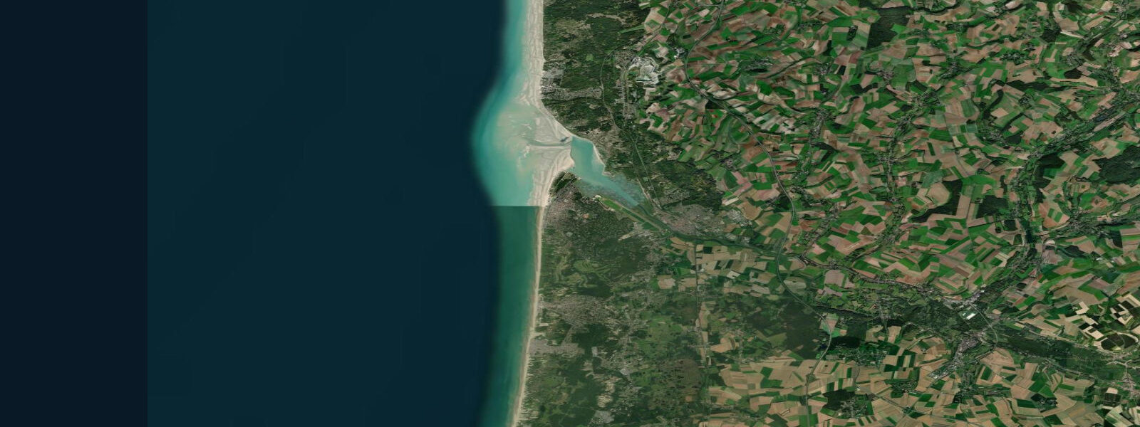
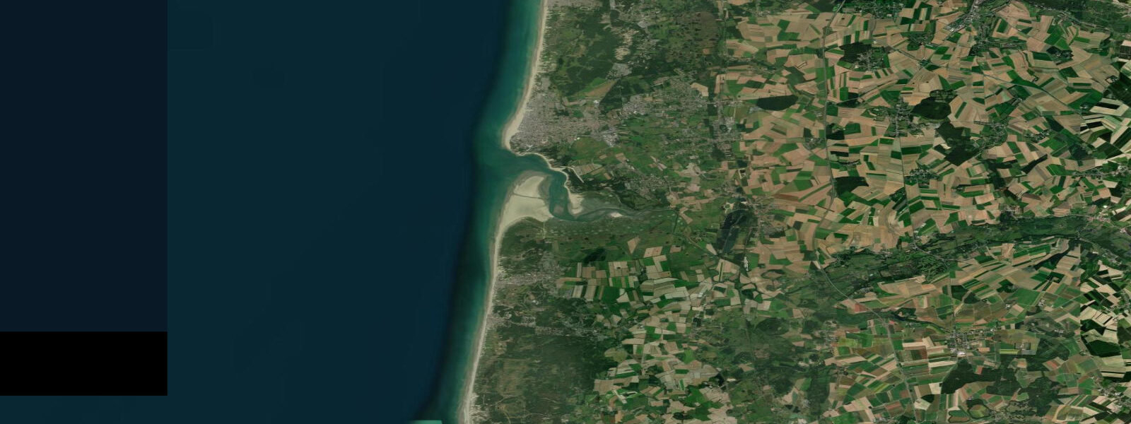
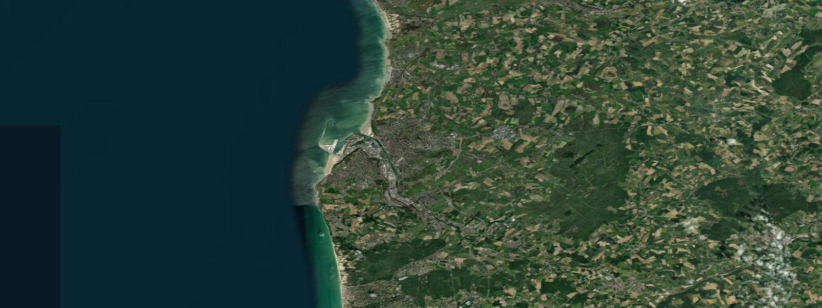
Le Touquet-Paris-Plage sits at the mouth of the Canche river estuary on the Opal Coast, 35 km south of Boulogne-sur-Mer. The name tells you what the place was built to be: a resort for the Paris bourgeoisie, developed from the late 19th century with the specific intention of delivering a beach to the capital via rail. The pine forest (Forêt de Touquet) that backs the beach was planted as part of this design — dune stabilisation and seaside atmosphere in one gesture. The villas are belle époque, the streets are named after British literary figures (Rue Kipling, Avenue du Dr-Schweitzer), and the casino is still operating.
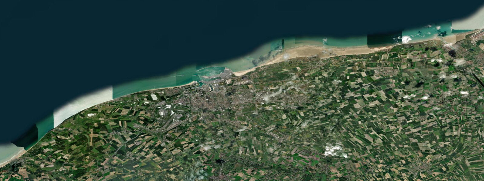
The tidal range at Le Touquet is exceptional. Spring range reaches approximately 8.0 m — one of the largest in metropolitan France. Mean range is around 5.7 m. The pattern is semidiurnal; high water here runs roughly 30 minutes after Boulogne and approximately 1 hour 40 minutes after the Dover standard. The consequence of this range is a beach whose width at low water is not a natural amenity but an operational field. At low water on a spring tide, the exposed flat extends more than a kilometre seaward of the dune line — ribbed sand, tidal pools, and sufficient level surface to stage large-scale events.
The Enduro du Touquet, run annually in February, is the defining example. The beach race for motocross and enduro motorcycles is run at low water on the exposed spring-tide flat: a 14-km circuit laid on sand that is underwater for twelve of every twenty-four hours. The February spring tides provide the necessary window; the race start time is set to the tide, not to the clock. Up to 1,300 riders compete and the spectator numbers on the dune line reach tens of thousands. The beach as event venue is only possible because of the 8-metre range.
For beach users on ordinary days, the range means planning around the tide cycle. At high water on a spring tide, the beach south of the town — particularly the stretch toward the Canche estuary mouth — narrows to a strip below the dunes. Two to three hours after high water the flat opens progressively; low water reveals the full scale of the beach. Tidal pools collect in the sand hollows as the ebb retreats, and the Canche estuary channel curves visibly across the southern end of the flat.
The Canche estuary provides a natural channel for kayaking and small-boat sailing at mid-tide. The estuary is shallow and the bar at the mouth is exposed at low water; the practical window for a small craft entering or leaving the estuary from the sea is roughly two hours either side of high water. Waders and wildfowl use the estuary mudflats: dunlin, grey plover, redshank, and pintail in autumn and winter, with smaller numbers of knot and bar-tailed godwit on migration.
Le Touquet has an airstrip (LFAT) 1 km inland from the beach, historically used by private aircraft from the UK — a 35-minute flight from southeast England airports. The British connection is long-standing; the town has an English-speaking community and the nearest hypermarket does significant cross-Channel grocery trade. Weekend visitor patterns follow the ferry and tunnel schedules from the UK as much as the French school calendar.
Kite surfing and land-kiting operate from the north end of the beach, where the flat is widest at low water and prevailing southwesterly winds provide the angle. The tide timing dictates when the flat is available; the northwest-facing beach catches the afternoon sea breeze reliably from April through September.
Tide data for Le Touquet-Paris-Plage comes from the Open-Meteo Marine API (±45 min / ±0.2–0.3 m). SHOM provides authoritative tidal tables for navigational and event planning.
Tide questions about Le Touquet-Paris-Plage
Quick answers to the most common questions about tide times, range, and water access at Le Touquet-Paris-Plage.
What is the tidal range at Le Touquet?
Le Touquet has a macrotidal semidiurnal regime with a spring range of approximately 8.0 m — among the largest in metropolitan France. Mean range is around 5.7 m. High water runs roughly 1 hour 40 minutes after the Dover standard reference. On spring tides the beach flat extends more than a kilometre seaward of the dune line at low water. Open-Meteo Marine data shown here gives timing to ±45 minutes and heights to ±0.2–0.3 m; use SHOM tables when precise timing matters.
What is the Enduro du Touquet beach race?
The Enduro du Touquet is one of Europe's largest beach enduro motorcycle races, held annually in February on the sand flat exposed at low water. The 14-km circuit is laid on tidal beach that is submerged for roughly half of every day; the race start time is set to the spring low water to maximise the available window. Up to 1,300 riders compete and spectator numbers on the dunes typically reach 60,000–80,000. The February spring tides provide the necessary tide window; the event does not happen when the tidal calendar does not cooperate.
When is the Le Touquet beach widest and when does it narrow?
The beach is widest at low water, particularly on spring tides, when the exposed flat can extend more than a kilometre from the dune line. At high water on a spring tide, the beach narrows to a strip — sometimes less than 50 metres — below the frontal dune. The transition happens in roughly three hours either side of high and low water. For comfortable beach use with space to spread out, aim for low water ±2 hours. The Canche estuary at the southern end shifts position slightly with each tide; avoid the active channel and the soft sand around the estuary mouth.
Can I kayak or sail into the Canche estuary at Le Touquet?
The Canche estuary is navigable by small craft for approximately two hours either side of high water. The bar at the estuary mouth is exposed at low water and presents a shallow, breaking passage at low-to-mid ebb; attempting entry outside the high-water window on a spring tide risks grounding on the bar. Inside the estuary the channel is well-defined and calm. The upper Canche toward Montreuil-sur-Mer offers flat-water paddling for 15–20 km inland; check the SHOM tide table for Étaples (the standard reference for the Canche) before planning a through-paddle.
Is the tide data on TideTurtle accurate enough for beach race event planning at Le Touquet?
No. TideTurtle uses Open-Meteo Marine API data — a gridded forecast model accurate to approximately ±45 minutes and ±0.2–0.3 m. This is suitable for recreational beach planning and activity scheduling. For event planning (Enduro du Touquet, organised kite competitions, aviation beach landings), the applicable standard is SHOM authoritative tidal tables for Étaples or Le Touquet reference points. The Enduro race organisers work from SHOM annuaire data cross-referenced with the year's lunar calendar months in advance.
8-day tide table — Le Touquet-Paris-Plage
Heights relative to MSL. Predictions: Open-Meteo Marine (MeteoFrance SMOC, 0.08° grid) — heights relative to MSL (not chart datum / LAT). Model-derived.
| Day | Type | Time | Height |
|---|---|---|---|
| Sun 21 Jun | Low | 02:00 | -0.7m |
| High | 04:58 | 2.7m | |
| Low | 11:53 | -3.9m | |
| High | 17:32 | 2.5m | |
| Mon 22 Jun | Low | 00:17 | -3.6m |
| High | 06:01 | 2.4m | |
| Low | 12:43 | -3.6m | |
| High | 18:39 | 2.4m | |
| Tue 23 Jun | Low | 01:10 | -3.2m |
| High | 07:04 | 2.3m | |
| Low | 13:36 | -3.1m | |
| High | 19:39 | 2.5m | |
| Wed 24 Jun | Low | 02:10 | -2.9m |
| High | 08:06 | 2.4m | |
| Low | 14:42 | -2.7m | |
| High | 20:35 | 2.5m | |
| Thu 25 Jun | Low | 03:22 | -2.9m |
| High | 09:02 | 2.2m | |
| Low | 15:48 | -2.8m | |
| High | 21:29 | 2.4m | |
| Fri 26 Jun | Low | 04:26 | -3.0m |
| High | 09:56 | 2.4m | |
| Low | 16:49 | -2.8m | |
| High | 22:18 | 2.7m | |
| Sat 27 Jun | Low | 05:19 | -2.9m |
| High | 10:45 | 2.7m | |
| Low | 17:44 | -2.9m | |
| High | 23:05 | 2.9m | |
| Sun 28 Jun | Low | 01:00 | 1.3m |