
Boulogne-sur-Mer tide times
Boulogne-sur-Mer tide forecast — heights relative to MSL.
Today's tide times for Boulogne-sur-Mer
Tide times at Boulogne-sur-Mer on Sunday, 21 June 2026: first low tide at 02:00, first high tide at 05:04, second low tide at 12:02, second high tide at 17:37. Sunrise 05:40, sunset 22:10.
Tide chart for Boulogne-sur-Mer
24-hour cosine-interpolated curve around the present moment. Heights relative to MSL. Predictions: Predictions: Open-Meteo Marine (MeteoFrance SMOC, 0.08° grid).
Sun, moon and conditions on Sun 21 Jun
Snapshot at build time — refreshes daily. Sea state from Open-Meteo Marine.
Highs and lows next 7 days
Every predicted high and low for the next week, with the daily tidal coefficient (0–120; higher = bigger swing, > 95 means stronger currents).
Other spots nearby
The three closest curated TideTurtle locations to Boulogne-sur-Mer, measured by great-circle distance.
Today's solunar windows
Solunar tradition: major periods are the ≈3h windows around moon transit and opposition; minor are ≈2h around moonrise and moonset. Pair with the local tide stage and wind for the best read.
Cycle dates near Boulogne-sur-Mer
Last spring tide on Sun 21 Jun (range 6.2m). Next spring tide on Sat 27 Jun (range 5.6m). Next neap on Wed 24 Jun.
Spring tides cluster around new and full moons (biggest swings). Neap tides land on quarter moons (smallest swings). See the spring tide and neap tide glossary entries for the why.
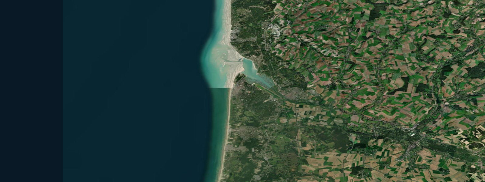
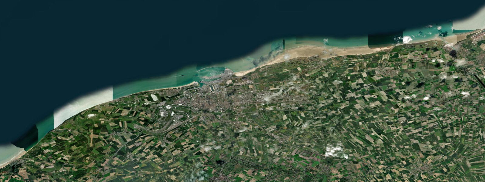
About tides at Boulogne-sur-Mer
A short guide to the coastline at Boulogne-sur-Mer — geography, sea state, and what the tide is actually doing under your feet.
Boulogne-sur-Mer is France's largest fishing port by landed volume — a designation that makes the tidal regime here a commercial fact rather than a scenic backdrop. The harbour sits in the mouth of the Liane river, and the lower basin dries significantly at low water. Fishing vessels time their departures and returns around the tide; the quayside at the Boulevard Sainte-Beuve is a different place at low water on a working morning than it is at mid-flood with the fleet tied up.
The tidal range at Boulogne is large. Mean range runs approximately 5.0 m; spring range reaches 7.5 m. The pattern is semidiurnal — two high waters and two low waters per day — with the cycle advancing roughly 50 minutes each successive day following the lunar calendar. High water at Boulogne runs approximately 1 hour 10 minutes after Dover (UK standard); the SHOM annuaire des marées publishes the precise seasonal tables. On a mean spring tide, the foreshore below the port drops 3 metres or more in three hours after high water; the outer harbour entrance becomes a tidal current of 2–3 knots.
The Pas de Calais — the narrowest point of the English Channel — closes to 34 km at Cap Gris-Nez, 25 km north of Boulogne. The tidal stream through the Strait runs northeast on the flood and southwest on the ebb at sustained 2–3 knots in the axis of the lane. The separation scheme carries some of the world's densest shipping traffic; Channel Ferry crossings, tankers, and container vessels pass in separated lanes that coastal sailors and Channel swimmers must navigate around. Cap Gris-Nez is both the classic Channel swimming departure point and the standard measurement point for the Dover Strait crossing. The current records for unassisted Channel swims reference this headland.
The Vieux Boulogne — the old upper town inside the medieval walls on the hill above the port — is architecturally intact in a way the lower town (heavily rebuilt after 1944) is not. The 13th-century basilica Notre-Dame de Boulogne sits inside the rampart walls; the belltower gives the best available view over the port entrance and the outer roadstead. From the walls at high water the extent of the navigable harbour is visible; at low water the inner basin mud and the exposed foreshore of the Liane estuary tell a different story.
For anglers, the harbour mouth and the outer rocks at Cap d'Alprech (5 km south of the port) produce bass, mackerel, and garfish. The key timing is the first two hours of flood tide over the rocky substrate at the cape — this is when predatory fish move inshore along the tidal current. Surf-casting from the beach at Le Portel, south of the cape, works the same principle. The fish follow the baitfish, the baitfish follow the flood.
The fish market (Marché à la criée) at the port is one of the largest in northern France; auctions run in the early morning. The adjacent Nausicaá aquarium and sea centre — the largest in France by floor space — draws visitors year-round and focuses on oceanographic education including tidal and current systems.
Tide data for Boulogne-sur-Mer comes from the Open-Meteo Marine API (±45 min / ±0.2–0.3 m). For navigational planning, commercial fishing operations, or safety-critical timing, use SHOM authoritative tables.
Tide questions about Boulogne-sur-Mer
Quick answers to the most common questions about tide times, range, and water access at Boulogne-sur-Mer.
What is the tidal range at Boulogne-sur-Mer?
Boulogne-sur-Mer has a macrotidal semidiurnal regime: mean range approximately 5.0 m, spring range up to 7.5 m. Two high waters and two low waters occur each day. The lower harbour basin and parts of the Liane estuary foreshore dry at low water. High water at Boulogne runs approximately 1 hour 10 minutes after the Dover standard reference. SHOM publishes authoritative seasonal tables; Open-Meteo Marine data shown here is accurate to ±45 minutes and ±0.2–0.3 m, sufficient for activity planning.
Why is Boulogne-sur-Mer France's largest fishing port?
Boulogne's position at the Pas de Calais — the narrows between the North Sea and the English Channel — puts it within range of the rich demersal fishing grounds of the southern North Sea and the Channel, including the sandbanks of the Dogger Bank region. The tidal harbour dries significantly at low water, so the fleet is organised around the tide cycle for departure and return. The port's hinterland infrastructure — cold storage, processing plants, the daily criée auction — grew from this tidal fishing economy.
What is the tidal current like in the Pas de Calais near Boulogne?
The Pas de Calais at its narrowest point (Cap Gris-Nez to Dover, 34 km) carries a tidal stream of 2–3 knots in the main channel axis, running northeast on the flood and southwest on the ebb. The stream is stronger on spring tides and at mid-tide than near the turns. The Strait is also the world's busiest commercial shipping lane, with traffic separated into northeast and southwest lanes. Any vessel crossing the Strait must account for both the tidal set and the separation scheme; small-craft navigators should consult the current SHOM chart and a Channel passage planning guide.
When is the best time to fish at Boulogne-sur-Mer?
The first two hours of the flood tide are the productive window at the rocky foreshore at Cap d'Alprech (5 km south) and around the harbour entrance. Bass and mackerel follow the rising current as it pushes baitfish inshore over the rocky substrate. Surf-casting from Le Portel beach works a similar tidal window. The ebb tide over the Liane estuary mouth concentrates flatfish — flounder and dab — on the falling water. Avoid the slack periods at high and low water; fish are less active when current stops.
Is tide data on TideTurtle accurate enough for port entry and Channel crossings at Boulogne?
No. Tide predictions on TideTurtle use the Open-Meteo Marine API, a gridded forecast model with timing accuracy of approximately ±45 minutes and height accuracy of ±0.2–0.3 m. This is appropriate for beach and leisure activity planning, not for navigation. For port entry timing, Channel crossing planning, or any safety-critical decision at Boulogne-sur-Mer or in the Pas de Calais, use authoritative SHOM tidal tables and current charts. Conditions in the Dover Strait — tidal streams up to 3 knots, dense commercial traffic — make precision essential.
8-day tide table — Boulogne-sur-Mer
Heights relative to MSL. Predictions: Open-Meteo Marine (MeteoFrance SMOC, 0.08° grid) — heights relative to MSL (not chart datum / LAT). Model-derived.
| Day | Type | Time | Height |
|---|---|---|---|
| Sun 21 Jun | Low | 02:00 | -1.0m |
| High | 05:04 | 2.5m | |
| Low | 12:02 | -3.7m | |
| High | 17:37 | 2.4m | |
| Mon 22 Jun | Low | 00:30 | -3.6m |
| High | 06:10 | 2.3m | |
| Low | 12:52 | -3.5m | |
| High | 18:47 | 2.2m | |
| Tue 23 Jun | Low | 01:23 | -3.1m |
| High | 07:16 | 2.1m | |
| Low | 13:45 | -3.0m | |
| High | 19:47 | 2.3m | |
| Wed 24 Jun | Low | 02:25 | -2.8m |
| High | 08:17 | 2.2m | |
| Low | 14:51 | -2.6m | |
| High | 20:44 | 2.4m | |
| Thu 25 Jun | Low | 03:34 | -2.9m |
| High | 09:12 | 2.1m | |
| Low | 15:57 | -2.8m | |
| High | 21:40 | 2.3m | |
| Fri 26 Jun | Low | 04:36 | -3.0m |
| High | 10:06 | 2.2m | |
| Low | 16:57 | -2.8m | |
| High | 22:31 | 2.5m | |
| Sat 27 Jun | Low | 05:31 | -2.9m |
| High | 10:55 | 2.6m | |
| Low | 17:52 | -2.8m | |
| High | 23:16 | 2.7m | |
| Sun 28 Jun | Low | 01:00 | 1.4m |