Ribe tide times
Ribe tide forecast — heights relative to MSL.
Today's tide times for Ribe
Tide times at Ribe on Sunday, 21 June 2026: first low tide at 02:00am, first high tide at 06:27am. Sunrise 04:43am, sunset 10:10pm.
Tide chart for Ribe
24-hour cosine-interpolated curve around the present moment. Heights relative to MSL. Predictions: Predictions: Open-Meteo Marine (MeteoFrance SMOC, 0.08° grid).
Sun, moon and conditions on Sun 21 Jun
Snapshot at build time — refreshes daily. Sea state from Open-Meteo Marine.
Highs and lows next 7 days
Every predicted high and low for the next week, with the daily tidal coefficient (0–120; higher = bigger swing, > 95 means stronger currents).
Other spots nearby
The three closest curated TideTurtle locations to Ribe, measured by great-circle distance.
Today's solunar windows
Solunar tradition: major periods are the ≈3h windows around moon transit and opposition; minor are ≈2h around moonrise and moonset. Pair with the local tide stage and wind for the best read.
Cycle dates near Ribe
Next spring tide on Tue 23 Jun (range 1.9m). Next neap on Thu 25 Jun.
Spring tides cluster around new and full moons (biggest swings). Neap tides land on quarter moons (smallest swings). See the spring tide and neap tide glossary entries for the why.
About tides at Ribe
A short guide to the coastline at Ribe — geography, sea state, and what the tide is actually doing under your feet.
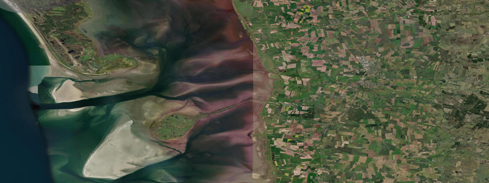
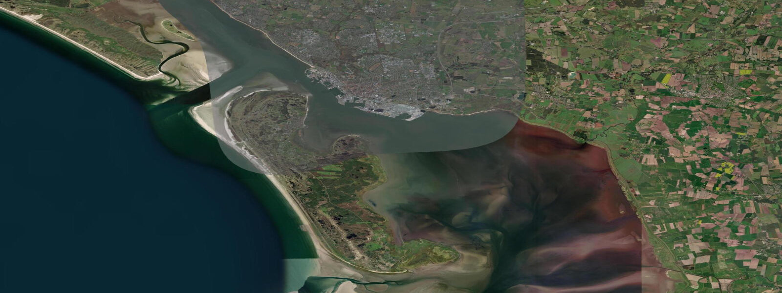
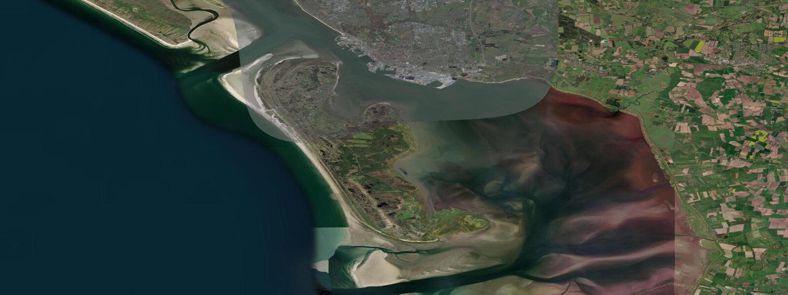
Ribe is Denmark's oldest city, founded around 710 AD, and it sits approximately 15 km inland from the Wadden Sea coast — yet the sea has shaped its history as surely as any coastal town. The Ribe River connects the city to the tidal Wadden Sea system; historically, storm surges pushed tidal water up the river channel and into the streets, with flood records dating back centuries. A modern flood-control barrier now protects the historic centre, but the relationship between Ribe's cathedral, cobblestoned market square, and the distant Wadden Sea horizon remains tangible.
Tidal observation at Ribe itself is primarily of the river rather than an open coast: the river level responds to tidal and surge conditions downstream, rising and falling with the Kattegat/Wadden Sea cycle at a dampened and delayed signal compared to Esbjerg. 7 m range determines the surge potential that matters for Ribe. The Viking Museum (Museet Ribes Vikinger) tells the story of the city from its founding, including the role of the river as the commercial artery that made a trading post here viable in the first place.
Walking the cobblestoned streets of Ribe between the cathedral and the river is the core experience; the floodgate that now protects the market square is visible at the river's edge, a quiet reminder that these tides have been a presence in civic life for 1,300 years. The surrounding Wadden Sea landscape — Ribemarsh, tidal meadows, and coastal heath — is accessible by cycling and walking routes from the town. DMI (Danmarks Meteorologiske Institut) is the authoritative source for both tidal predictions and storm-surge warnings in this region.
Tide questions about Ribe
Quick answers to the most common questions about tide times, range, and water access at Ribe.
Does the tide affect Ribe even though it is inland?
Yes, though indirectly. The Ribe River connects the city to the Wadden Sea tidal system roughly 15 km to the west. Under normal conditions, the river level responds to tides downstream with a dampened and delayed signal. In storm-surge events — when a North Sea low drives water 1.5–2.0 m above normal high tide at Esbjerg — that surge propagates up the river channel and has historically flooded Ribe's historic centre. A modern flood-control barrier at the river now protects the city, but the tidal and surge conditions at Esbjerg remain the relevant early-warning indicator.
What is the Viking Museum in Ribe?
Museet Ribes Vikinger (the Museum of Ribe's Vikings) is a dedicated archaeological museum covering the city's history from its founding around 710 AD through the Viking Age and into the medieval period. The permanent collection includes artefacts from excavations in Ribe, reconstructions of Viking-period urban life, and material on the river trade routes that made the city possible. The museum is centrally located near the cathedral; opening hours vary seasonally. The river whose tides once threatened and sustained the city runs a few minutes' walk away.
What is the flood risk in Ribe today?
Ribe's historic centre is now protected by a flood-control barrier on the Ribe River, designed to hold back storm-surge-driven river flooding in significant North Sea events. Residual risk exists for low-lying areas outside the barrier and during exceptional surge events exceeding design thresholds. DMI issues storm-surge warnings for the South Jutland and Wadden Sea coast when North Sea depressions threaten elevated water levels — monitor these alerts in autumn and winter, when the most severe surges occur.
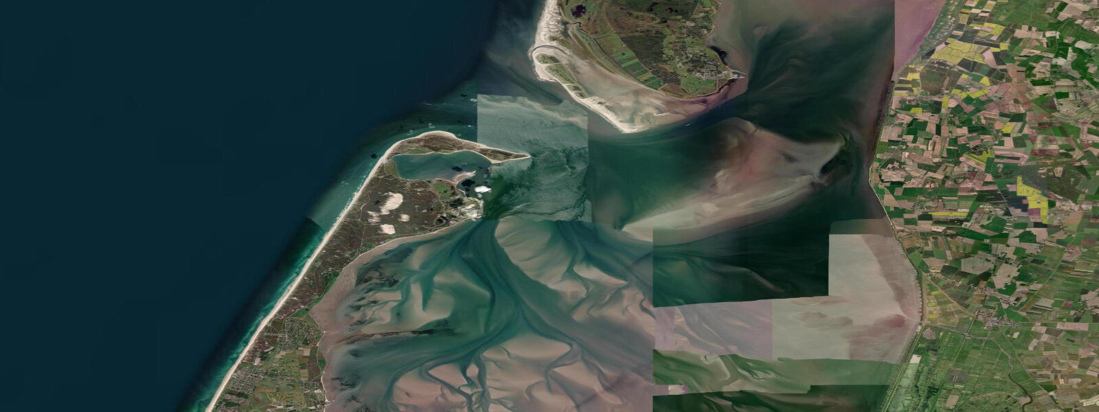
How do I access the Wadden Sea from Ribe?
By bicycle or car to the Wadden Sea coast approximately 15 km west of Ribe. The Ribemarsken nature area — tidal meadows and salt marshes between the city and the coast — is criss-crossed by cycle paths and walking routes. The coastal village of Mandø (accessible via a tidal road that is impassable at high water) lies roughly 20 km from Ribe and offers direct Wadden Sea flat access; check the tidal road schedule carefully before driving it. For the main Fanø/Esbjerg ferry and beach access, Esbjerg is 30 km north-northwest.
Are tide predictions for Ribe guaranteed to be accurate?
No prediction is guaranteed. Tidal data shown for Ribe uses Open-Meteo Marine modelling referenced to the Wadden Sea system (typical accuracy ±45 minutes, ±0.2–0.3 m) and reflects the regional tidal cycle rather than a direct river-level measurement at Ribe itself. For storm-surge warnings, DMI (Danmarks Meteorologiske Institut) is the authoritative source and should always be consulted before any activity in or near flood-prone areas. This site does not accept responsibility for decisions made based on these predictions.
8-day tide table — Ribe
Heights relative to MSL. Predictions: Open-Meteo Marine (MeteoFrance SMOC, 0.08° grid) — heights relative to MSL (not chart datum / LAT). Model-derived.
| Day | Type | Time | Height |
|---|---|---|---|
| Sun 21 Jun | Low | 02:00 | -0.8m |
| High | 06:27 | 0.1m | |
| Mon 22 Jun | Low | 01:03 | -1.6m |
| High | 07:11 | -0.1m | |
| Low | 13:18 | -1.4m | |
| High | 19:27 | 0.3m | |
| Tue 23 Jun | Low | 02:00 | -1.5m |
| High | 08:02 | -0.1m | |
| Low | 14:15 | -1.3m | |
| High | 20:15 | 0.3m | |
| Wed 24 Jun | Low | 02:59 | -1.3m |
| High | 09:01 | 0.2m | |
| Low | 15:20 | -0.9m | |
| High | 21:06 | 0.5m | |
| Thu 25 Jun | Low | 04:02 | -1.1m |
| High | 09:33 | 0.1m | |
| Low | 16:24 | -1.3m | |
| High | 22:04 | 0.1m | |
| Fri 26 Jun | Low | 04:55 | -1.4m |
| High | 23:04 | 0.0m | |
| Sat 27 Jun | Low | 05:49 | -1.3m |
| High | 11:23 | 0.1m | |
| Low | 18:15 | -1.3m | |
| Sun 28 Jun | High | 00:00 | 0.1m |