Esbjerg tide times
Esbjerg tide forecast — heights relative to MSL.
Today's tide times for Esbjerg
Tide times at Esbjerg on Sunday, 21 June 2026: first low tide at 02:00am, first high tide at 07:00am, second low tide at 12:35pm, second high tide at 06:47pm. Sunrise 04:43am, sunset 10:12pm.
Tide chart for Esbjerg
24-hour cosine-interpolated curve around the present moment. Heights relative to MSL. Predictions: Predictions: Open-Meteo Marine (MeteoFrance SMOC, 0.08° grid).
Sun, moon and conditions on Sun 21 Jun
Snapshot at build time — refreshes daily. Sea state from Open-Meteo Marine.
Highs and lows next 7 days
Every predicted high and low for the next week, with the daily tidal coefficient (0–120; higher = bigger swing, > 95 means stronger currents).
Other spots nearby
The three closest curated TideTurtle locations to Esbjerg, measured by great-circle distance.
Today's solunar windows
Solunar tradition: major periods are the ≈3h windows around moon transit and opposition; minor are ≈2h around moonrise and moonset. Pair with the local tide stage and wind for the best read.
Cycle dates near Esbjerg
Last spring tide on Sun 21 Jun (range 1.8m). Next neap on Thu 25 Jun.
Spring tides cluster around new and full moons (biggest swings). Neap tides land on quarter moons (smallest swings). See the spring tide and neap tide glossary entries for the why.
About tides at Esbjerg
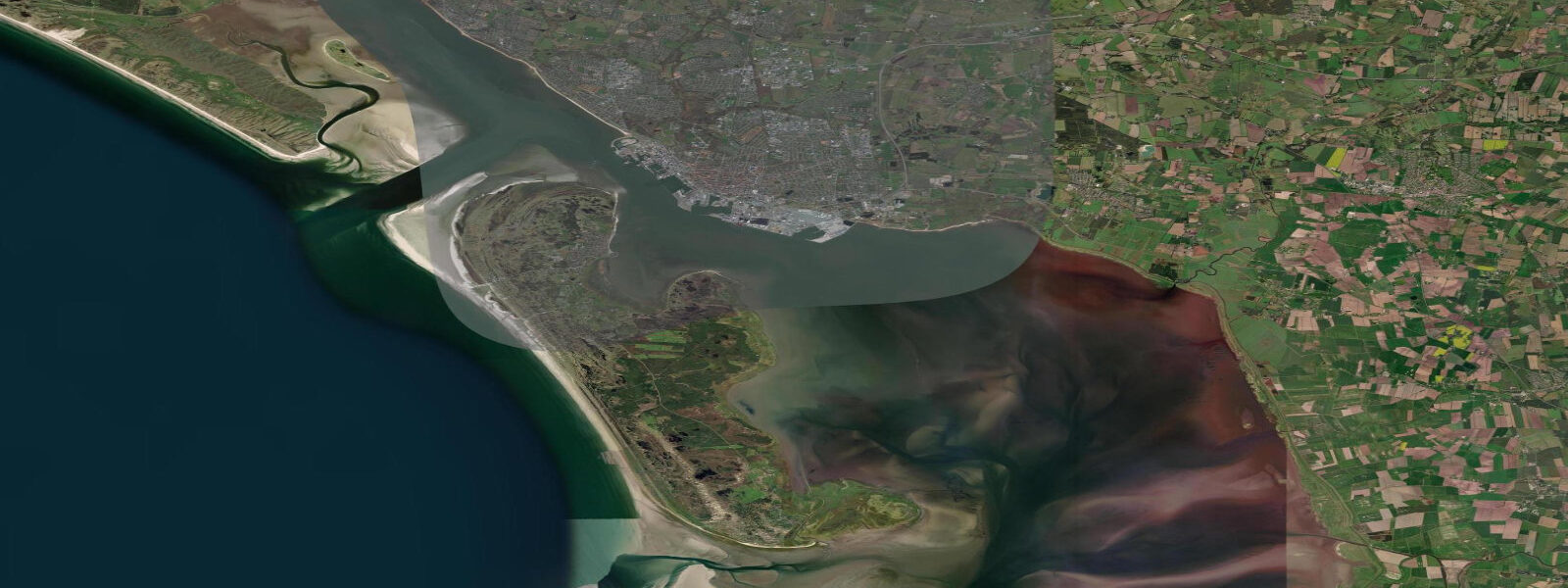
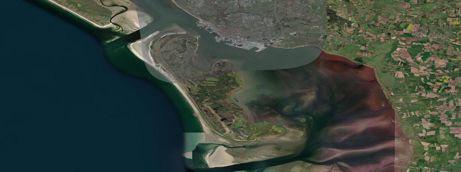
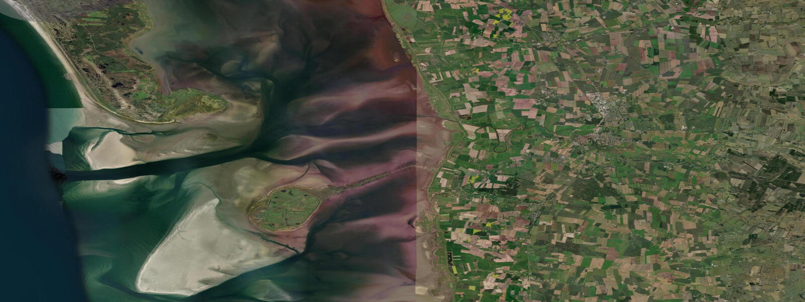
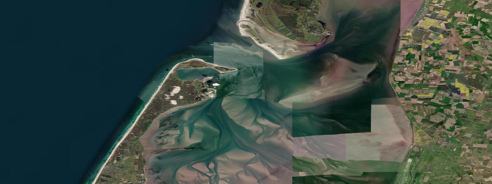
A short guide to the coastline at Esbjerg — geography, sea state, and what the tide is actually doing under your feet.
7 m relative to MSL. That is four times the signal at Aarhus and a world apart from the near-zero Baltic tides to the east. 9 m below, subject to meteorological variation.
Esbjerg Havn is one of Denmark's most important commercial ports and the gateway for the Fanø ferry — a 20-minute crossing that deposits you on the island's sheltered eastern shore. Timing the ferry with the tide is worthwhile: the tidal flats between Esbjerg and Fanø expose dramatically at low water, and the ferry operates on a fixed schedule regardless of tidal state, but access to Fanø's beach parking is affected by water level in the approach channels. The Vadehavscentret (Wadden Sea Centre) at nearby Vester Vedsted is the visitor gateway to the UNESCO-listed Wadden Sea — a good starting point for understanding why this intertidal system matters globally and how to read the tides before heading out onto the flats.
0 m of surge water into the Wadden Sea on top of the astronomical high tide, raising total water levels 2–3 m above MSL. A flood-defence dike system protects Esbjerg and the surrounding coast, but tidal awareness and monitoring of DMI storm-surge alerts is essential for anyone working or recreating near the water. 3 m under normal conditions.
Tide questions about Esbjerg
Quick answers to the most common questions about tide times, range, and water access at Esbjerg.
What is the tidal range at Esbjerg?
Approximately 1.7 m mean tidal range — the largest of any Danish port, driven by North Sea macrotidal energy funnelling through the Wadden Sea system. High water typically reaches 0.8–0.9 m above MSL and low water drops to roughly 0.8–0.9 m below MSL. On top of the astronomical tide, storm surges from North Sea low-pressure systems can add 1.5–2.0 m in extreme events, making combined water levels a genuine safety consideration in severe weather.
How does the Esbjerg–Fanø ferry connect with the tides?
The ferry crossing from Esbjerg to Fanø takes approximately 20 minutes and operates on a fixed schedule throughout the day. The tidal state matters for accessing the Wadden Sea flats and beach parking on Fanø's eastern side, and for any activities on the exposed intertidal zone. The ferry itself is not directly constrained by the 1.7 m tidal range, but it's worth checking that your planned beach or flat activity falls within an appropriate tidal window — particularly if walking out onto the Wadden Sea flats, which drain rapidly and over long distances at low water.
Is the Wadden Sea at Esbjerg safe to explore on foot?
The Wadden Sea intertidal flats can be explored safely but require preparation. The most critical rules: always go with a guided tour operator or check with the Vadehavscentret, know the tide times before you step out (DMI's Esbjerg tide prediction is the reference), never walk out further than 30 minutes before low water without a guide, and watch the weather for fog and wind-driven water rises. The tide returns quickly across flat terrain — what looks like a long walk back can close to a swim in 20 minutes. Always tell someone your plan.
What is the storm surge risk at Esbjerg?
Significant. North Sea low-pressure systems tracking eastward can stack surge water on top of high tide, producing total water levels 1.5–2.0 m above the predicted astronomical high in extreme events — the most severe on record exceeded 3 m above MSL. Esbjerg and the surrounding coast are protected by a dike and sea-wall system, but low-lying areas outside the dike are directly exposed. DMI issues storm surge warnings; monitor these alerts whenever a deep low is forecast to move through the North Sea, especially in autumn and winter.
Are tide predictions for Esbjerg guaranteed to be accurate?
No prediction is guaranteed. Data on this page comes from Open-Meteo Marine modelling (typical accuracy ±45 minutes on timing, ±0.2–0.3 m on height under normal conditions). These figures do not account for storm-surge additions, which can far exceed the tidal range itself. DMI (Danmarks Meteorologiske Institut) is the authoritative source for Danish tidal and surge predictions — always verify with DMI, especially before any activity in or near the Wadden Sea intertidal zone. This site does not accept responsibility for decisions made based on these predictions.
8-day tide table — Esbjerg
Heights relative to MSL. Predictions: Open-Meteo Marine (MeteoFrance SMOC, 0.08° grid) — heights relative to MSL (not chart datum / LAT). Model-derived.
| Day | Type | Time | Height |
|---|---|---|---|
| Sun 21 Jun | Low | 02:00 | -0.9m |
| High | 07:00 | 0.1m | |
| Low | 12:35 | -1.2m | |
| High | 18:47 | 0.3m | |
| Mon 22 Jun | Low | 01:13 | -1.5m |
| High | 07:26 | -0.1m | |
| Low | 13:32 | -1.3m | |
| High | 19:46 | 0.2m | |
| Tue 23 Jun | Low | 02:11 | -1.4m |
| High | 08:17 | -0.1m | |
| Low | 14:27 | -1.2m | |
| High | 20:34 | 0.2m | |
| Wed 24 Jun | Low | 03:10 | -1.2m |
| High | 09:16 | 0.2m | |
| Low | 15:32 | -0.9m | |
| High | 21:18 | 0.4m | |
| Thu 25 Jun | Low | 04:16 | -1.1m |
| High | 09:52 | -0.0m | |
| Low | 16:40 | -1.2m | |
| High | 22:17 | 0.0m | |
| Fri 26 Jun | Low | 05:07 | -1.3m |
| High | 10:55 | -0.0m | |
| Low | 17:36 | -1.3m | |
| High | 23:17 | -0.1m | |
| Sat 27 Jun | Low | 06:02 | -1.2m |
| High | 11:50 | 0.0m | |
| Low | 18:26 | -1.2m | |
| Sun 28 Jun | High | 00:16 | 0.1m |