Fanø tide times
Fanø tide forecast — heights relative to MSL.
Today's tide times for Fanø
Tide times at Fanø on Sunday, 21 June 2026: first low tide at 02:00am, first high tide at 07:00am, second low tide at 12:35pm, second high tide at 06:48pm. Sunrise 04:43am, sunset 10:12pm.
Tide chart for Fanø
24-hour cosine-interpolated curve around the present moment. Heights relative to MSL. Predictions: Predictions: Open-Meteo Marine (MeteoFrance SMOC, 0.08° grid).
Sun, moon and conditions on Sun 21 Jun
Snapshot at build time — refreshes daily. Sea state from Open-Meteo Marine.
Highs and lows next 7 days
Every predicted high and low for the next week, with the daily tidal coefficient (0–120; higher = bigger swing, > 95 means stronger currents).
Other spots nearby
The three closest curated TideTurtle locations to Fanø, measured by great-circle distance.
Today's solunar windows
Solunar tradition: major periods are the ≈3h windows around moon transit and opposition; minor are ≈2h around moonrise and moonset. Pair with the local tide stage and wind for the best read.
Cycle dates near Fanø
Last spring tide on Sun 21 Jun (range 1.8m). Next neap on Thu 25 Jun.
Spring tides cluster around new and full moons (biggest swings). Neap tides land on quarter moons (smallest swings). See the spring tide and neap tide glossary entries for the why.
About tides at Fanø
A short guide to the coastline at Fanø — geography, sea state, and what the tide is actually doing under your feet.
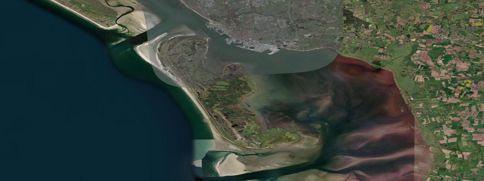
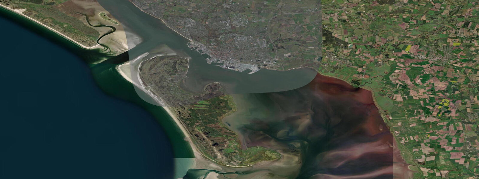
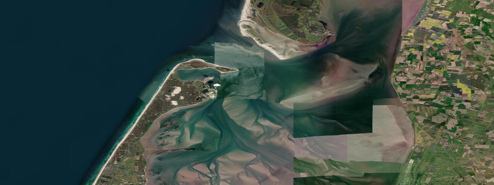
Fanø is a barrier island 20 minutes by ferry from Esbjerg, shaped entirely by the interplay of North Sea waves and Wadden Sea tides. The western shore faces the open North Sea with a beach that runs the full 16 km length of the island — one of the widest, flattest, and most impressive stretches of sand on any Danish coast. 7 m range shared with Esbjerg.
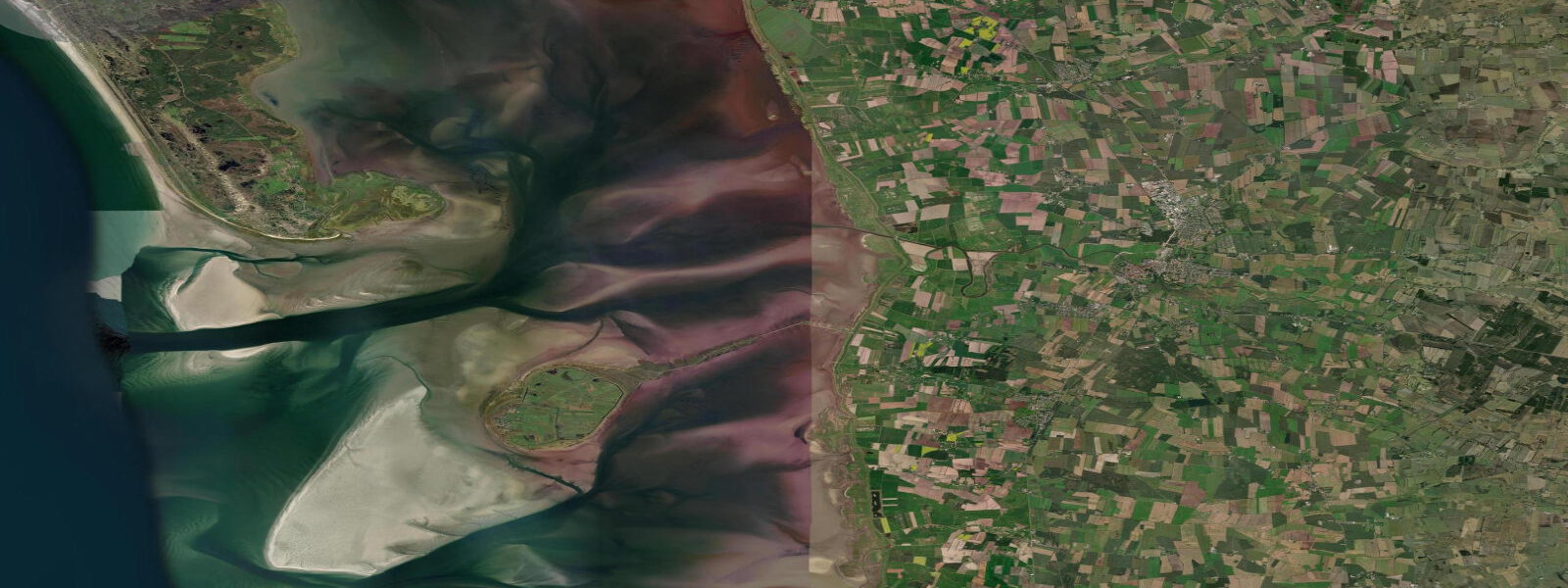
That difference between the two shores is the defining feature of any visit to Fanø — you can walk from a North Sea swell beach to kilometres of exposed tidal mudflat in 15 minutes across the island's narrow waist. The birdlife is extraordinary. During spring and autumn migration, millions of waders — dunlin, knot, sanderling, grey plover, bar-tailed godwit — use the Wadden Sea flats as a refuelling stop on intercontinental journeys.
Low water on Fanø's east side during peak migration windows (late April–May, July–September) is when concentration is highest. Rindby Strand and Fanø Bad are the main beach settlements on the western shore; both are accessible from Nordby (the ferry terminal village in the northeast) via the island's road and cycle path network. High water on the western beach doesn't reduce access, but the tide line moves noticeably — plan for a wider beach experience at low water.
0 m. 3 m.
Tide questions about Fanø
Quick answers to the most common questions about tide times, range, and water access at Fanø.
What is the tidal range at Fanø?
Fanø shares the ~1.7 m mean tidal range of the Esbjerg area — among the largest in Denmark. The effect is most visible on the island's eastern Wadden Sea shore, where vast flats expose at low water. The North Sea western shore sees the same tidal cycle, but wave action and beach gradient make the change less dramatic underfoot. Storm surges add to the astronomical tide and can elevate water significantly above prediction on both shores in North Sea storm events.
When is the best time to see wading birds on Fanø?
Low water on the eastern (Wadden Sea) shore during migration windows: late April through May for northbound spring migration, and July through mid-September for the larger southbound autumn movement. Arriving 1.5–2 hours before low water gives time to find a good vantage before the birds spread across the fully exposed flats. Dawn and the two hours around low tide are peak activity periods. Dunlin, knot, bar-tailed godwit, and grey plover are among the most numerous species during peak passage.
How do I get to Fanø from Esbjerg?
By the Fanø Færgefart ferry from Esbjerg Nordkai — crossings take approximately 20 minutes and run throughout the day, with more frequent service in summer. Bicycles and cars are carried on most sailings (book car space in advance in high season). The ferry timetable is independent of tidal state, though in extreme weather sailings may be delayed. Check the operator's live status and DMI's marine forecast for wind conditions before travel, as the Wadden Sea channel can be choppy in a stiff westerly.
Is the western beach at Fanø safe for swimming?
In calm to moderate conditions, yes — the long straight beach with gradual gradient is one of the better North Sea swimming beaches in Denmark. Avoid swimming when significant wave height exceeds 1.0–1.5 m or when an offshore wind is running, as rip currents can develop along the beach. Storm surges combined with high tide produce powerful run-up. Always check DMI's coastal forecast for wave height and wind before entering the North Sea side of the island.
Are tide predictions for Fanø guaranteed to be accurate?
No prediction is guaranteed. Data on this page comes from Open-Meteo Marine modelling (typical accuracy ±45 minutes, ±0.2–0.3 m) and does not account for storm-surge additions, which can substantially exceed the normal tidal range. DMI (Danmarks Meteorologiske Institut) is the authoritative source for Danish tidal and surge forecasts. Always verify with DMI before any activity on the Wadden Sea flats or in the water — particularly critical given the large tidal range and rapid rate of water movement on the eastern shore. This site does not accept responsibility for decisions made based on these predictions.
8-day tide table — Fanø
Heights relative to MSL. Predictions: Open-Meteo Marine (MeteoFrance SMOC, 0.08° grid) — heights relative to MSL (not chart datum / LAT). Model-derived.
| Day | Type | Time | Height |
|---|---|---|---|
| Sun 21 Jun | Low | 02:00 | -0.9m |
| High | 07:00 | 0.1m | |
| Low | 12:35 | -1.2m | |
| High | 18:48 | 0.3m | |
| Mon 22 Jun | Low | 01:13 | -1.5m |
| High | 19:48 | 0.2m | |
| Tue 23 Jun | Low | 02:11 | -1.4m |
| High | 08:17 | -0.1m | |
| Low | 14:27 | -1.2m | |
| High | 20:34 | 0.2m | |
| Wed 24 Jun | Low | 03:10 | -1.2m |
| High | 09:16 | 0.1m | |
| Low | 15:32 | -0.9m | |
| High | 21:19 | 0.4m | |
| Thu 25 Jun | Low | 04:14 | -1.1m |
| High | 09:52 | -0.0m | |
| Low | 16:38 | -1.2m | |
| High | 22:16 | 0.0m | |
| Fri 26 Jun | Low | 05:08 | -1.3m |
| High | 10:55 | -0.0m | |
| Low | 17:36 | -1.3m | |
| High | 23:20 | -0.1m | |
| Sat 27 Jun | Low | 06:02 | -1.2m |
| High | 11:50 | 0.0m | |
| Low | 18:26 | -1.2m | |
| Sun 28 Jun | High | 00:16 | 0.1m |